The best running trails around Rotherfield
4.4
(56)
3,315
runners
20
runs
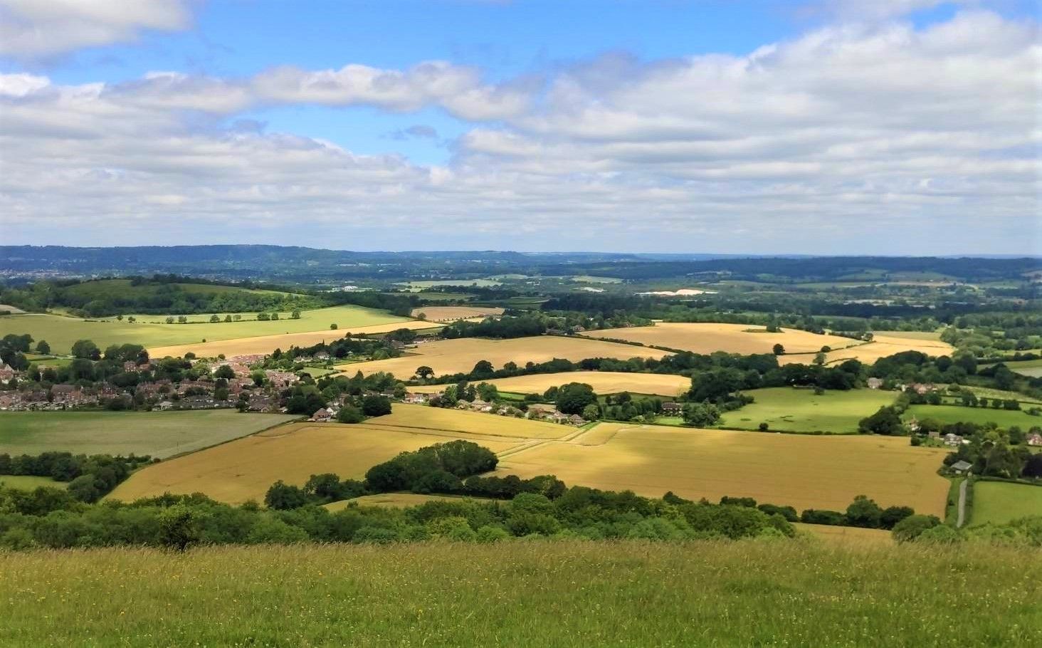
Jogging routes around Rotherfield are set within the High Weald Area of Outstanding Natural Beauty, characterized by rolling hills, ancient woodlands, and a network of historic pathways. The region offers varied terrain, including riverside paths along the River Uck and routes through preserved natural spaces like the Rotherfield Reserve. These features provide a scenic and engaging environment for running, with gentle undulations rather than steep climbs.
Best jogging routes around Rotherfield
- The most popular jogging route is Saxonbury Hill loop…
Last updated: November 1, 2026
1
runners
10.9km
01:13
210m
210m
Moderate run. Good fitness required. Mostly paved surfaces.
21
runners
19.0km
01:59
140m
140m
Hard run. Very good fitness required. Mostly paved surfaces.

9
runners
8.66km
00:55
110m
110m
Moderate run. Good fitness required. Mostly paved surfaces.
5.0
(2)
7
runners
9.57km
01:03
100m
100m
Moderate run. Good fitness required. Mostly paved surfaces.
6
runners
9.22km
01:00
150m
150m
Moderate run. Good fitness required. Mostly paved surfaces.
Get access to more routes and recommendations from other explorers.
Already have an account?
Our route recommendations are based on thousands of hikes, rides, and runs completed by other people on komoot.
Start today with a free account
Your next adventure awaits.





Tips from the Community

This tower, which stands out in the forest, was built in the first half of the 19th century by Henry Nevill. It is located on Saxonbury Hill, a late Bronze Age to early Iron Age hill fort that you'll need to go into to see it.
0
0
Although the north chapel dates from the late 12th century, this church is primarily from the 13th century and was later remodeled in the 15th century with the addition of the tower and a porch.
0
0
Harrison's Rocks are a superb example of the sandstone outcrops which are found across the High Weald. There is evidence that Stone Age people sheltered amongst these rocks. For many years, there has been a strong climbing tradition in this area.
0
0
This wood hosts a diverse mix of trees of all kinds: old and new, natural and planted, broadleaf and conifer, and more. Enjoy its numerous paths where you can encounter local dog walkers and horse riders.
0
0
Along this peaceful path that passes by Green Hedges Farm, you can observe its oast house. There are a significant number of these buildings on the farms in the area, which were used to dry fresh hops for beer production. The one at this farm is a single round kiln oast house.
0
0
This tower, which stands out in the forest, was built in the first half of the 19th century by Henry Nevill. It is located on Saxonbury Hill, a late Bronze Age to early Iron Age hill fort that you'll need to walk into to see it.
0
0
Harrison's Rocks are a superb example of the sandstone outcrops which are found across the High Weald. There is evidence that Stone Age people sheltered amongst these rocks. For many years, there has been a strong climbing tradition in this area.
0
0
The Forest Way covers a distance of about 10 miles and is used for a variety of activities, including hiking, cycling, and even horse riding. It provides a peaceful way to enjoy the countryside.
0
0
Frequently Asked Questions
How many running routes are available around Rotherfield?
There are over 20 running routes around Rotherfield, catering to various fitness levels. These include easy, moderate, and challenging options, ensuring a suitable path for almost every runner.
Are there any family-friendly jogging routes in Rotherfield?
Yes, Rotherfield offers several routes suitable for families. While specific 'easy' routes are fewer, many of the moderate trails, especially those through ancient woodlands and along river systems, can be enjoyed by families. The varied terrain of the High Weald provides engaging, yet often gently undulating, paths.
Can I bring my dog on the running trails in Rotherfield?
Yes, many of the running trails in Rotherfield are dog-friendly, particularly those utilizing public rights of way, bridleways, and byways within the High Weald Area of Outstanding Natural Beauty. It's always recommended to keep dogs under control, especially near livestock, and to follow the Countryside Code.
What kind of terrain can I expect on the jogging routes around Rotherfield?
The routes around Rotherfield are characterized by the picturesque landscapes of the High Weald AONB. You can expect a mix of rolling hills, ancient woodlands, and riverside paths along waterways like the River Uck. The terrain generally features gentle undulations rather than steep climbs, offering a scenic and engaging run.
Are there any circular running routes available?
Yes, many of the routes around Rotherfield are circular, allowing you to start and finish in the same location. An example is the Kings Arms – Cowford Bridge Lane loop from Rotherfield, which offers a moderate 6.2 km run through the local countryside.
What are some notable natural features or attractions I might see while running?
Jogging around Rotherfield offers views of the High Weald's ancient woodlands and waterways. You might encounter unique geological formations like Harrison's Rocks, or enjoy the tranquility of the Rotherfield Reserve. Other nearby attractions include Bewl Water and various viewpoints like King's Standing Clump.
Where can I find parking for the running trails in Rotherfield?
Parking is generally available in and around Rotherfield village, often near trailheads or public spaces. For specific routes, it's advisable to check the route details on komoot, as many start from locations with designated parking or accessible street parking.
Are there any challenging running routes for experienced runners?
Yes, for those seeking a greater challenge, Rotherfield offers more demanding routes. The Hartfield Station – Hartfield Motte loop from Eridge is a difficult 20.2 km path that traverses varied terrain typical of the High Weald, including woodlands and open countryside.
What do other runners say about the trails in Rotherfield?
The running routes in Rotherfield are highly regarded by the komoot community, with an average rating of 4.3 stars from over 50 reviews. Runners frequently praise the varied terrain, the beauty of the ancient woodlands, and the rewarding views, especially from spots like Saxonbury Hill.
Are there any permits required to use the running trails in the High Weald AONB?
Generally, no specific permits are required to use the public rights of way, bridleways, and byways that form many of the running routes within the High Weald Area of Outstanding Natural Beauty. These paths are open for public access, but always respect private land and follow local signage.
Which running routes offer historical interest?
For a run with historical interest, consider the Saxonbury Hill loop from Hoth Wood — High Weald. This 10.9 km trail includes an ascent of Saxonbury Hill, the site of an Iron Age hill fort, providing both a good workout and a glimpse into the region's past.
Are there any routes that pass through Forest Way Country Park?
Yes, some routes incorporate sections of Forest Way Country Park. For example, the St Thomas' Church, Groombridge – Forest Way Country Park loop from Eridge is an 8.1 km trail that leads through ancient woodlands and open parkland, offering a pleasant running experience.
Most popular routes around Rotherfield
Most popular attractions around Rotherfield

Get inspired with the komoot mobile app


Explore more
Browse the best Running Trails & Routes in other regions.
