The best road cycling routes around Whitelackington
4.6
(89)
4,160
riders
302
rides
Road cycling around Whitelackington offers diverse terrain within the picturesque Somerset countryside. The region is characterized by rolling hills, ancient woodlands, and fertile valleys, providing varied landscapes for cyclists. Roads connect these natural features, offering a blend of gentle and more challenging gradients. This area provides a compelling destination for outdoor enthusiasts seeking rural road cycling experiences.
Best road cycling routes around Whitelackington
- The most popular road cycling route is Pilsdon Pen – Chard Reservoir Nature Reserve loop from Ilminster…
Last updated: July 2, 2026
42
riders
51.4km
02:16
450m
450m
Moderate road ride. Good fitness required. Mostly well-paved surfaces and easy to ride.
40
riders
75.7km
03:53
870m
870m
Moderate road ride. Good fitness required. Mostly well-paved surfaces and easy to ride.

Sign up for free
21
riders
45.7km
02:22
410m
410m
Moderate road ride. Good fitness required. Some segments of this route may be unpaved and difficult to ride.
15
riders
69.0km
03:23
750m
750m
Moderate road ride. Good fitness required. Some segments of this route may be unpaved and difficult to ride.
9
riders
38.2km
01:47
300m
300m
Easy road ride. Great for any fitness level. Mostly well-paved surfaces and easy to ride.
Get access to more routes and recommendations from other explorers.
Sign up for free
Already have an account?
Our route recommendations are based on thousands of hikes, rides, and runs completed by other people on komoot.
Start today with a free account
Your next adventure awaits.
Login or Signup
Tips from the Community

The coast path between West Bay and Burton Bradstock is currently closed due to a landslip. A diversion is in place using the public footpath across Bridport and West Dorset Golf Club. Please see the South West Coast Path website for further info and a map of the diversion.
0
0

A song that – originally from the American gospel tradition – has begun its journey around the world, fits wonderfully with this house of God, which the parish community has entrusted to the patronage of „All Saints“. „Oh when the Saints go marching in, oh when the Saints go marching in, oh Lord, I want to be in that number, oh when the Saints go marching in.“ Over the decades, new versions of the lyrics have emerged again and again; an original text cannot be proven due to early oral tradition. Many artists have taken up the gospel song and released it in their own interpretation, such as Bruce Springsteen with the Session Band at a concert in Dublin: https://www.youtube.com/watch?v=i6eKkirEcgE
0
0

Gemini said If you find yourself in the rolling hills of West Dorset, the Church of St John the Baptist in Broadwindsor is a classic, "slow-paced" country church that packs a surprising amount of history into its quiet stone walls. It’s perched on a high spot right in the heart of the village, looking out over the square like it’s been keeping watch forever (which, to be fair, it mostly has). Here’s why it’s worth a wander: A Royal Fugitive’s Hiding Spot The village’s biggest claim to fame involves a high-stakes game of hide-and-seek. After losing the Battle of Worcester in 1651, King Charles II fled for his life and spent a night right here in Broadwindsor. While the King was hiding in a nearby inn (now private cottages), Parliamentarian soldiers actually arrived in the village to search it. Legend says he only escaped because a local woman went into labor in the same building, causing such a chaotic distraction that the soldiers moved on without finding him. He eventually escaped to France, but the church stands as a silent witness to that tense night. The "Witty" Rector In the 1630s, the church was led by Thomas Fuller, a man described as one of the first English writers to actually make a living from his pen. He was famous for his "pregnant wit" and once said, "Charity begins at home, but should not end there." * Even today, the village is very proud of him—you’ll often find his quotes inscribed in the local community pub, The White Lion, just down the road. What to Look For Inside The "Wonky" Architecture: The church has a mix of styles because it’s been rebuilt and patched up over nearly 900 years. You’ll see heavy, rounded Norman arches on one side of the nave and more pointed "Early English" ones on the other. It gives the interior a slightly mismatched, organic feel. The Ancient Font: There is a square font made of Purbeck Marble that dates back to the early 1200s. It’s been used to baptize village children for eight centuries. The Bells: The tower holds a ring of six bells. Some of them are "pre-Reformation," meaning they’ve been swinging in that tower since before Henry VIII broke away from Rome. The "Compromise" Clock: If you’re there during the day, you’ll hear the clock chime. There was a recent local debate about whether it should chime at night; in a very "British village" move, they compromised—it now stays quiet from 9:00 PM to 6:00 AM so the neighbors can sleep!
0
0
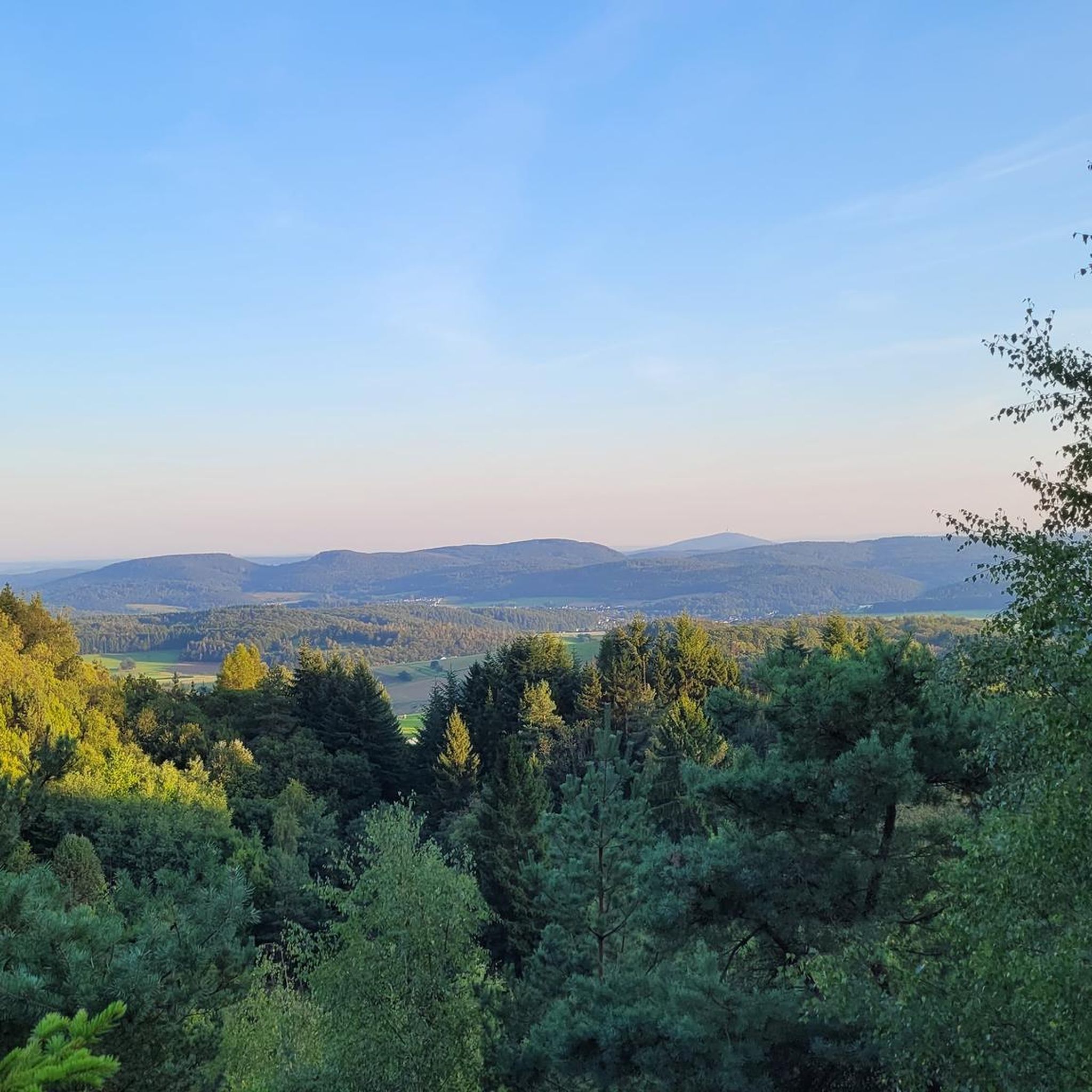
Beautiful views are always guaranteed, regardless of the what the weather holds.
0
0


Great breakfast and coffee.
0
0
A hard hill to get up, but the views are worth it
0
0

Frequently Asked Questions
How many road cycling routes are available around Whitelackington?
There are over 300 road cycling routes available around Whitelackington on komoot. This extensive network offers a wide variety of options for different skill levels and preferences, allowing you to explore the picturesque Somerset countryside.
What kind of terrain can I expect when road cycling in the Whitelackington area?
The Whitelackington area, situated within the Somerset countryside, features diverse terrain. You can expect a mix of rolling hills, ancient woodlands, and fertile valleys. This provides a blend of gentle gradients for easier rides and more challenging climbs for experienced cyclists, especially towards the nearby Blackdown Hills.
Are there road cycling routes suitable for beginners or those looking for an easy ride?
Yes, the Whitelackington area offers nearly 100 easy road cycling routes. An excellent option for a more relaxed ride is the Yandle's Sawmills – Farm & Field Café loop from Ilminster, which covers about 37.7 miles with moderate elevation gain, making it suitable for those seeking a less strenuous experience.
What are some popular moderate road cycling routes in the region?
For those seeking a moderate challenge, there are nearly 200 routes available. Two popular choices include The Rising Sun – North Curry Community Café loop from Ilminster, a 28.3-mile path through the countryside, and the Sutton Bingham Reservoir – Hollow Lane loop from Ilminster, which is about 42.2 miles and explores the area around Sutton Bingham Reservoir.
Are there any challenging road cycling routes for experienced riders?
Absolutely. The region offers over 20 difficult road cycling routes for experienced riders. A notable challenging option is the Pilsdon Pen – Chard Reservoir Nature Reserve loop from Ilminster. This route spans 47.5 miles and features significant elevation gain through varied rural landscapes, providing a demanding ride.
What kind of natural features or viewpoints can I expect to see on road cycling routes?
Road cycling routes in the Whitelackington area often pass through or near diverse natural features. You can expect views of rolling hills, ancient woodlands, and fertile valleys. Highlights include the expansive views from Ham Hill Country Park and scenic vistas of the Blackdown Hills, which are known for their unspoiled character.
Are there any historical landmarks or attractions along the road cycling routes?
Yes, several routes offer opportunities to see historical landmarks. You might pass by sites like the Castle Neroche Iron Age Hill Fort, which features fascinating earthworks and views. Other points of interest include Ham Hill War Memorial and Stone Circle, and the historic Forde Abbey and Gardens, a Grade I-listed building with impressive grounds.
What do other road cyclists say about the routes in Whitelackington?
The road cycling routes around Whitelackington are highly regarded by the komoot community, holding an impressive average rating of 4.7 stars from over 80 reviews. Cyclists often praise the varied terrain, the scenic rural landscapes, and the well-maintained roads that connect the region's natural and historical attractions.
Are there any routes that pass by reservoirs or water features?
Yes, some routes incorporate local water features. For instance, the Sutton Bingham Reservoir – Hollow Lane loop from Ilminster takes you through the area around Sutton Bingham Reservoir, offering pleasant views of the water. Another route, the Pilsdon Pen – Chard Reservoir Nature Reserve loop from Ilminster, passes by the Chard Reservoir Nature Reserve.
What is the best time of year to go road cycling in Whitelackington?
The Somerset countryside, including Whitelackington, is beautiful throughout the year. Spring and summer offer pleasant weather for cycling, with lush green landscapes. Autumn provides stunning foliage, while winter can be crisp but may require more preparation for colder temperatures and potentially wet roads. Always check local weather conditions before heading out.
Can I find cafes or pubs along the road cycling routes for a break?
While specific cafes and pubs on every route are not detailed, the region's rural nature means many villages and towns, such as Ilminster, offer local establishments. Routes like The Rising Sun – North Curry Community Café loop from Ilminster explicitly mention a community café, suggesting opportunities for refreshment stops are available.
Are there any long-distance road cycling routes near Whitelackington?
Yes, several routes offer longer distances for endurance cyclists. The Pilsdon Pen – Chard Reservoir Nature Reserve loop from Ilminster is a substantial 47.5 miles, and the Valley Path View – Donyatt Halt loop from Ilminster covers approximately 50.5 miles, providing excellent options for longer rides.
Most popular routes around Whitelackington
Most popular attractions around Whitelackington

Get inspired with the komoot mobile app


Explore more
Browse the best Road cycling routes in other regions.
