The best road cycling routes around Ottringham
4.8
(57)
911
riders
78
rides
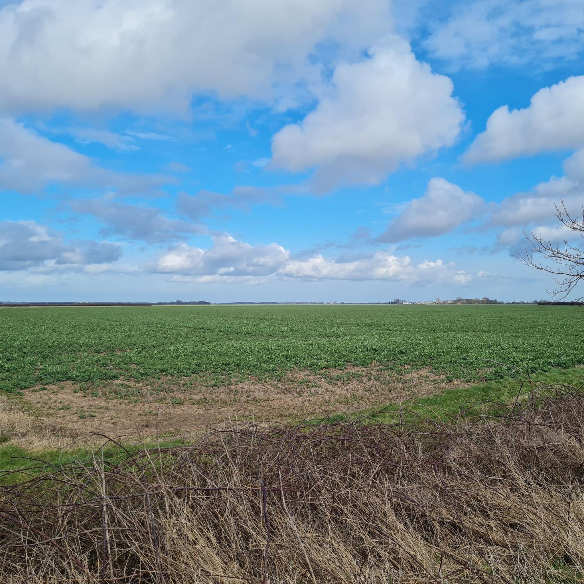
Road cycling routes around Ottringham traverse the flat, open landscapes of East Yorkshire, often following quiet country roads. The region is characterized by its proximity to the Humber Estuary and agricultural fields, offering long, uninterrupted stretches suitable for road bikes. Elevations are generally low, providing accessible routes for various fitness levels.
Best road cycling routes around Ottringham
- The most popular road cycling route is View of the Humber Estuary – Cherry Cob Sands Road loop from Keyingham, a 33.4…
Last updated: May 24, 2026
5.0
(1)
43
riders
111km
04:55
290m
290m
Moderate road ride. Good fitness required. Mostly well-paved surfaces and easy to ride.
5.0
(1)
18
riders
80.1km
03:36
170m
170m
Moderate road ride. Good fitness required. Mostly well-paved surfaces and easy to ride.

Sign up for free
12
riders
35.6km
01:28
80m
70m
Easy road ride. Great for any fitness level. Mostly well-paved surfaces and easy to ride.
12
riders
52.6km
02:26
80m
80m
Moderate road ride. Good fitness required. Mostly well-paved surfaces and easy to ride.
10
riders
47.7km
02:15
110m
110m
Moderate road ride. Good fitness required. Mostly well-paved surfaces and easy to ride.
Get access to more routes and recommendations from other explorers.
Sign up for free
Already have an account?
Our route recommendations are based on thousands of hikes, rides, and runs completed by other people on komoot.
Start today with a free account
Your next adventure awaits.
Login or Signup
Popular around Ottringham


Tips from the Community

Park in nature reserve car park and walk down the road before turning into a field on the right hand side. Best to add into a walk around the Paull Reserve
0
0


Bags of parking. The grassy verge gets chock-a-block even in winter.
2
0

Cafe with vegan options. Pay for the car park at the cafe as the machine at the car park does not work. You can also try to park for free further down the road on the grassy verge.
1
0


From here you can enjoy a beautiful view of the calm waters. Not far away is the beach of the same name which has been a hotspot for unexploded RAF bombs, which fell from the rapidly eroding cliffs.
0
0

Just be respectful of caravan residents and farm animals especially in spring when there's an abundance of sheep either lambing or caring for there young
1
0

A sculpture of four of the plotters, including Guy Fawkes, erected to mark the defeat of the Gunpowder Plot in 1605, commemorating East Yorkshire's links to the Gunpowder Plot. Two of the conspirators, brothers John (Jack) and Christopher (Kit) Wright, were born in the village.
0
0
Frequently Asked Questions
How many road cycling routes are available around Ottringham?
There are over 80 road cycling routes around Ottringham, offering a wide range of options for different skill levels and preferences. These routes are highly rated by the komoot community.
Are there easy road cycling routes suitable for beginners in Ottringham?
Yes, Ottringham's flat terrain makes it ideal for beginners. Many routes are classified as easy, such as the Cherry Cob Sands Road – Hedon loop from Keyingham, which is 22.1 miles (35.6 km) and takes about 1 hour 28 minutes.
What are some options for long-distance road cycling in the Ottringham area?
For longer rides, consider routes that extend further into the East Yorkshire countryside. The Cherry Cob Sands Road – Hornsea Mere loop from Keyingham is a moderate 68.8 miles (110.7 km) path that explores the open countryside towards Hornsea Mere.
Are there circular road cycling routes around Ottringham?
Most of the road cycling routes around Ottringham are designed as loops, allowing you to start and finish at the same point. Examples include the popular View of the Humber Estuary – Cherry Cob Sands Road loop from Keyingham.
What attractions can I see along the road cycling routes near Ottringham?
Many routes offer scenic views and pass by interesting points. You might encounter the Stone Creek Inlet or the Withernsea Pier Entrance Towers on coastal-oriented rides. The region is also known for its quiet country roads like Cherry Cob Sands Road.
When is the best time of year to go road cycling in Ottringham?
The best time for road cycling in Ottringham is typically from spring to autumn (April to October) when the weather is milder and the days are longer. The flat terrain makes it accessible, but be mindful of coastal winds.
Are there any challenging road cycling routes in Ottringham?
While the terrain is generally flat, challenging routes in Ottringham often come in the form of longer distances. For instance, the Cherry Cob Sands Road – View of the Humber Estuary loop from Keyingham covers 80.3 miles (129.2 km), offering a significant endurance challenge.
Are the road cycling routes around Ottringham generally quiet?
Yes, many of the routes around Ottringham follow quiet country roads through agricultural landscapes, making them ideal for peaceful cycling away from heavy traffic. The region is known for its tranquil rural lanes.
What do other road cyclists enjoy most about cycling in Ottringham?
The area is highly rated by the komoot community, with an average score of 4.9 stars. Reviewers often praise the flat, open landscapes, the quiet country roads, and the scenic views of the Humber Estuary and agricultural fields.
Is parking available at the start of road cycling routes in Ottringham?
While specific parking facilities vary by starting point, many routes begin in villages like Keyingham where on-street parking or small public car parks may be available. It's advisable to check local parking regulations before your ride.
Can I find cafes or pubs along the road cycling routes for refreshments?
Yes, many routes pass through or near small villages where you can find local pubs or cafes for refreshments. Planning your route with komoot allows you to identify such points of interest along your chosen path.
Are there specific routes that pass by the Greenwich Meridian Marker?
Yes, you can cycle past the Greenwich Meridian Marker on routes such as the Cherry Cob Sands Road – Greenwich Meridian Marker loop from Keyingham, which is a moderate 52.1 miles (83.9 km) ride.
Most popular routes around Ottringham
Most popular attractions around Ottringham

Get inspired with the komoot mobile app


Explore more
Browse the best Road cycling routes in other regions.
