The best cycling routes around Matrei am Brenner
4.7
(535)
7,192
riders
86
rides
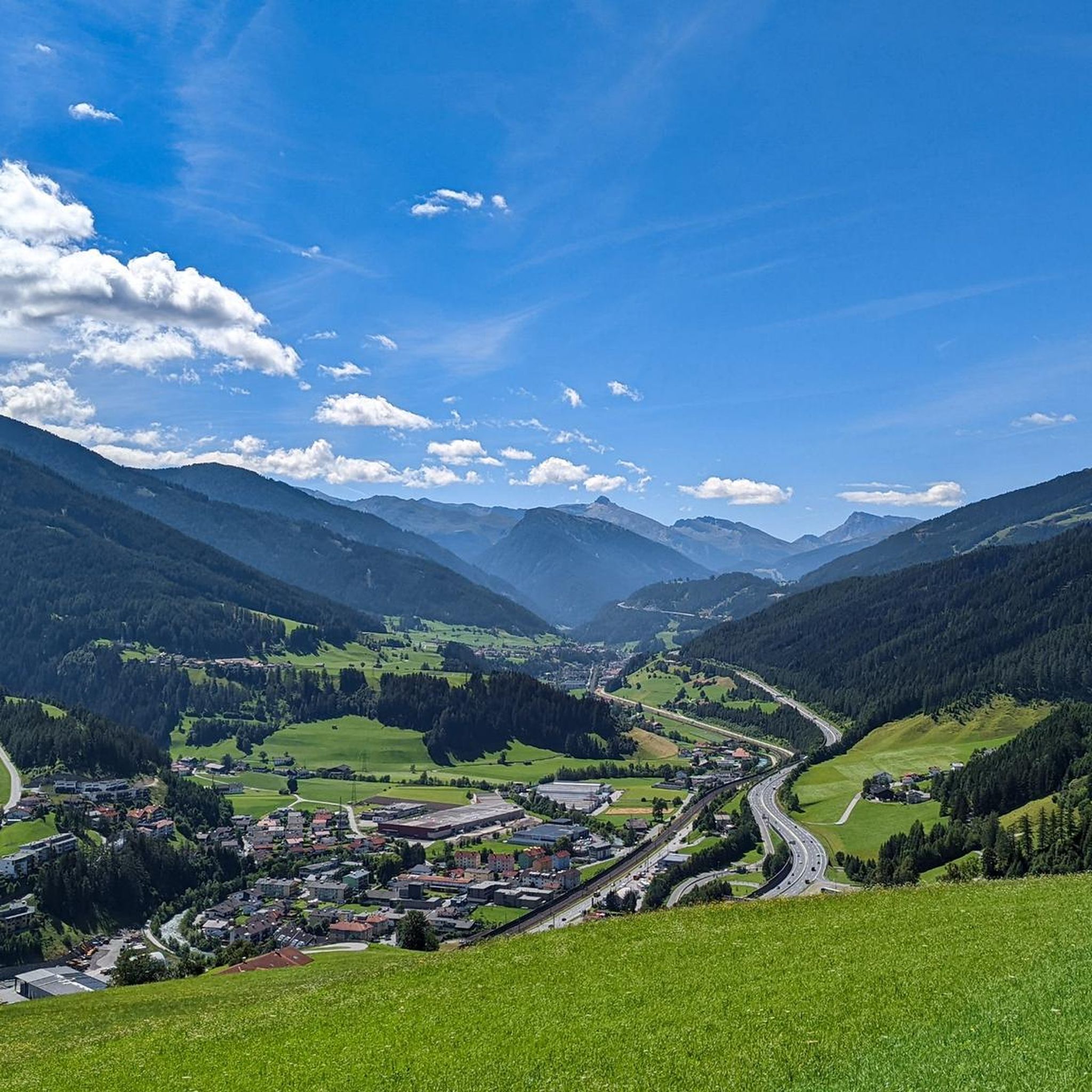
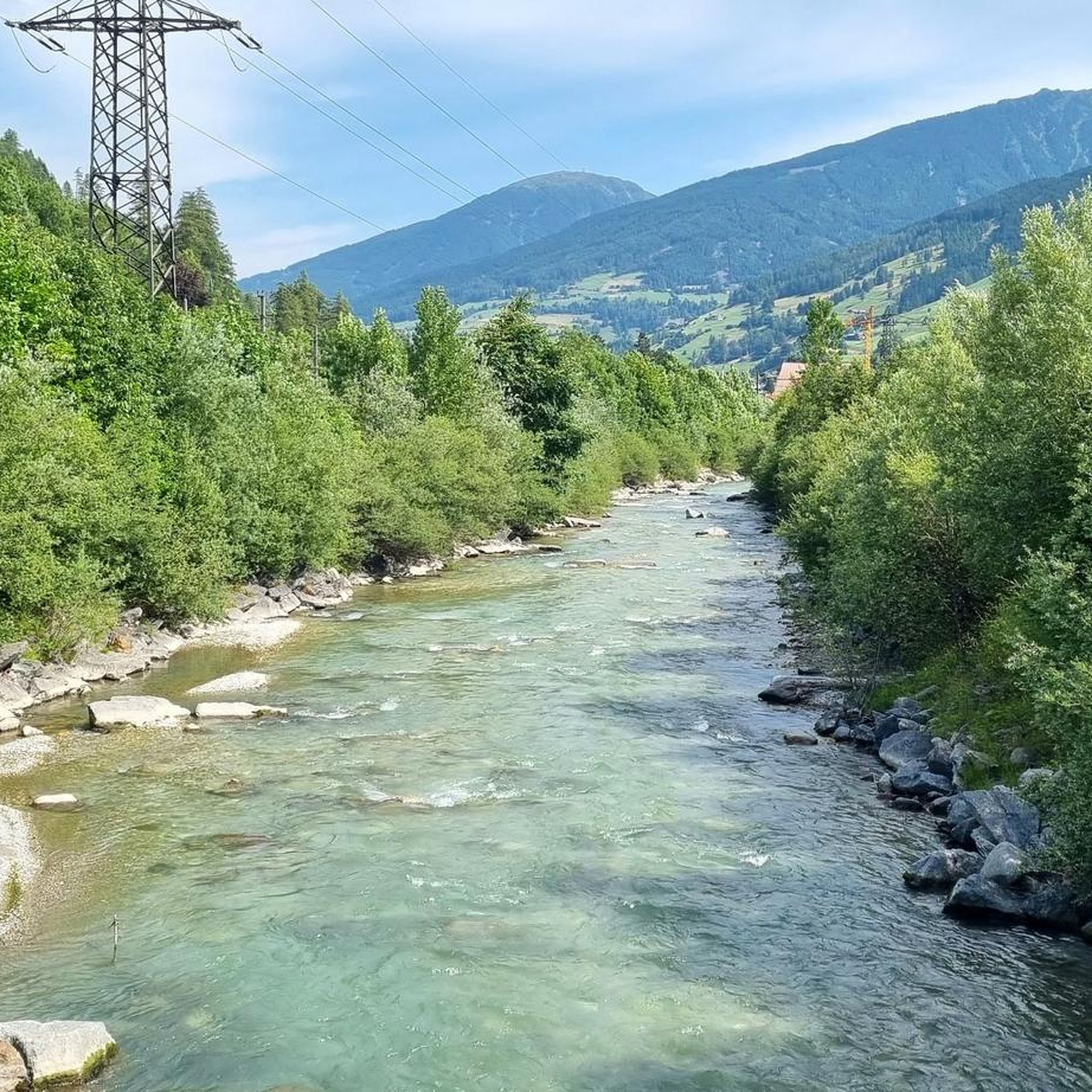
Touring cycling routes around Matrei am Brenner are situated in the Wipptal valley of Tyrol, Austria, at an elevation of 992 meters (3,255 ft). The region features a landscape of mountains and green valleys, with the Sill river flowing through. Terrain for cycling includes both asphalt and gravel sections, catering to various skill levels. Matrei am Brenner serves as a point on the Munich-Venice Cycle Route and offers access to the Wipptal Cycle Route.
Best touring cycling routes around Matrei am Brenner
- The most popular touring cycling route is Navis Waterfall – Tier Alm loop from Matrei am Brenner, a 21.4 miles (34.4 km) trail that takes 3 hours 5 minutes to complete. This difficult route features significant elevation gain through alpine terrain.
- Another top favourite among local touring cyclists is Great view over Stubaital – View of the Upper Inn Valley loop from Matrei am Brenner, a difficult 36.1 miles (58.0 km) path. This route offers panoramic views of the Stubai Valley and the Upper Inn Valley.
- Local touring cyclists also love the Oxen Hut – Maria Waldrast Monastery loop from Matrei am Brenner, a 17.5 miles (28.1 km) trail leading through mountain landscapes, often completed in about 2 hours 40 minutes.
- Touring cycling around Matrei am Brenner is defined by the Wipptal Valley, the Sill River, and views of mountains like Serles. The network offers options for ambitious beginners to challenging circuits requiring good fitness.
- The routes in Matrei am Brenner are highly rated by the komoot community with an average score of 4.7 stars from almost 1,000 reviews. More than 10,000 touring cyclists have used komoot to explore Matrei am Brenner's varied terrain.
Last updated: May 23, 2026
5.0
(17)
169
riders
34.5km
03:05
1,010m
1,010m
Hard bike ride. Very good fitness required. Mostly paved surfaces. Suitable for all skill levels.
4.8
(10)
107
riders
58.0km
04:04
1,100m
1,100m
Hard bike ride. Very good fitness required. Mostly paved surfaces. Suitable for all skill levels.

Sign up for free
4.9
(12)
92
riders
28.1km
02:40
1,030m
1,030m
Hard bike ride. Very good fitness required. Mostly paved surfaces. Suitable for all skill levels.
4.1
(9)
95
riders
24.0km
01:40
450m
450m
Moderate bike ride. Good fitness required. Mostly paved surfaces. Suitable for all skill levels.
5.0
(4)
81
riders
38.6km
04:24
1,600m
1,600m
Hard bike ride. Very good fitness required. You may need to push your bike for some segments of this route.
Get access to more routes and recommendations from other explorers.
Sign up for free
Already have an account?
Our route recommendations are based on thousands of hikes, rides, and runs completed by other people on komoot.
Start today with a free account
Your next adventure awaits.
Login or Signup
Tips from the Community

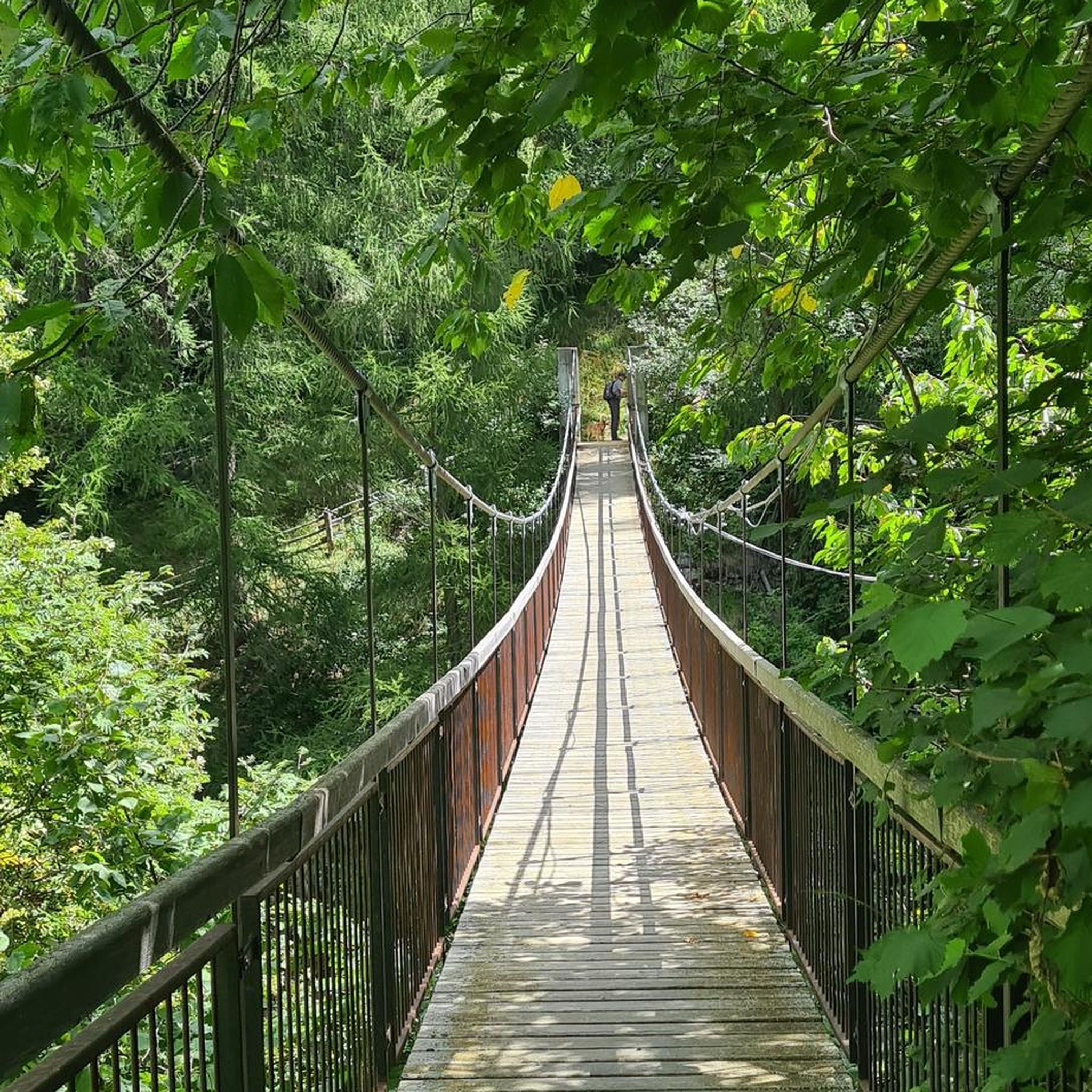
Unfortunately much too short, 2 beautiful bridges.
0
0
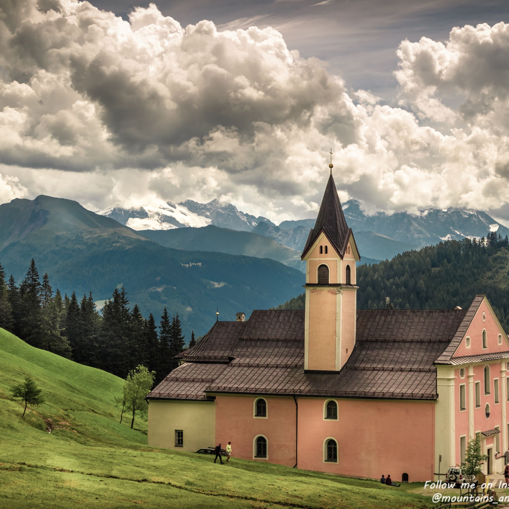
Beautiful church.
0
0
Nice place, but after that there is no or only a short cycle path.
0
0
The only short stretch of cycle path, otherwise no cycle path and stupid.
0
0
Unfortunately, there's no bike path and there's a lot of traffic. Not a great place for me as a cyclist. Really bad for descending or climbing the Brenner Pass. The Italians can do better.
0
0
Unfortunately, there's no bike path and there's a lot of traffic. Not a great place for me as a cyclist. Really bad for descending or climbing the Brenner Pass. The Italians can do better.
0
0
Unfortunately, there's no bike path and there's a lot of traffic. Not a great place for me as a cyclist. Really bad for descending or climbing the Brenner Pass. The Italians can do better.
0
0
Road without cycle path.
0
0
Frequently Asked Questions
How many touring cycling routes can I find around Matrei am Brenner?
There are over 80 touring cycling routes available around Matrei am Brenner, catering to various skill levels and preferences. The komoot community has explored these routes extensively, with over 10,000 touring cyclists using komoot to navigate the area.
What is the best time of year to go touring cycling in Matrei am Brenner?
The best time for touring cycling in Matrei am Brenner is typically from late spring to early autumn. During these months, the weather is most favorable, offering pleasant conditions to explore the stunning natural landscapes of the Wipptal valley.
Are there any easy touring cycling routes suitable for beginners in Matrei am Brenner?
Yes, while many routes are challenging, Matrei am Brenner does offer options for ambitious beginners. For example, the Wipptal Cycle Route, which follows the Sill river, provides a scenic and generally more accessible ride. Overall, there are 4 easy routes and 18 moderate routes available.
What kind of terrain can I expect on the touring cycling routes around Matrei am Brenner?
The terrain around Matrei am Brenner is diverse, featuring both asphalt and gravel sections. You'll encounter a mix of flat stretches along river valleys and significant elevation gains as routes ascend into the mountainous landscapes of the Wipptal valley.
Are there any family-friendly touring cycling routes in the Matrei am Brenner area?
While specific family-friendly routes are not detailed in the provided data, the Wipptal Cycle Route, which follows the Sill river, is generally suitable for a wider range of abilities and could be a good option for families. Additionally, the area around Kraftsee lake offers a large natural playground, which could be a pleasant stop on a shorter ride.
What are some notable natural features or viewpoints I can see while cycling?
The region is rich in natural beauty. You can enjoy views of the majestic Serles Mountain (Waldrastspitze), the picturesque Wipptal Valley, and the Sill River. Routes like the Great view over Stubaital – View of the Upper Inn Valley loop from Matrei am Brenner offer panoramic vistas of the Stubai Valley and the Upper Inn Valley. The Patscherkofel Summit also provides superb alpine panoramas.
Are there any historical or cultural landmarks along the touring cycling routes?
Yes, Matrei am Brenner has historical significance as an ancient Roman rest site. You can explore the 'Alte Römerstrasse' (Old Roman Road) on some routes. A significant landmark is the Maria Waldrast Monastery, one of Europe's highest pilgrimage sites, nestled at the foot of Serles mountain. The Oxen Hut – Maria Waldrast Monastery loop from Matrei am Brenner will take you past this monastery.
Are there any touring cycling routes that feature waterfalls?
Yes, the Navis Waterfall – Tier Alm loop from Matrei am Brenner is a challenging route that includes the Navis Waterfall, offering a beautiful natural highlight during your ride.
What do other touring cyclists enjoy most about cycling in Matrei am Brenner?
The touring cycling routes around Matrei am Brenner are highly rated by the komoot community, with an average score of 4.7 stars from almost 1,000 reviews. Cyclists often praise the diverse terrain, the stunning mountain landscapes, and the rewarding panoramic views of valleys like the Stubai and Inn Valley.
Are there any circular touring cycling routes available?
Many of the touring cycling routes around Matrei am Brenner are designed as loops, allowing you to start and end at the same point. Examples include the Great view over Stubaital – View of St. Peter loop from Matrei am Brenner and the Brenner Pass border – Brennerbad–Pflersch Cycle Path loop from Matrei am Brenner.
Is public transport available to access cycling routes in Matrei am Brenner?
Matrei am Brenner is well-connected, situated approximately 17 km south of Innsbruck. It serves as a strategic stop on the Munich-Venice Cycle Route, implying good accessibility. Public transport options, such as trains and buses, are generally available in the Wipptal valley, making it possible to reach various starting points for your cycling adventures.
Are there any challenging touring cycling routes for experienced riders?
Absolutely. Matrei am Brenner offers a significant number of challenging routes, with 65 out of 87 routes classified as difficult. These often feature substantial elevation gains and cover longer distances. An example is the Great view over Stubaital – View of the Upper Inn Valley loop from Matrei am Brenner, a difficult 58 km path with over 1000 meters of elevation gain.
Most popular routes around Matrei am Brenner
Most popular attractions around Matrei am Brenner

Get inspired with the komoot mobile app


Explore more
Browse the best Cycling routes in other regions.
