The best walks and hikes around Puriton
4.4
(145)
1,559
hikers
114
hikes
Hiking around Puriton offers a variety of trails through tranquil rural landscapes and waterways in Somerset, England. The area is characterized by the undulating terrain of the Polden Hills and features prominent natural elements like the King's Sedgemoor Drain. Hikers can explore wetland environments at WWT Steart Marshes and follow the scenic Bridgwater & Taunton Canal. The River Parrett and Bridgwater Docks also provide accessible paths with views of the region's industrial heritage.
Best hiking trails around Puriton
- The most popular hiking route is Church of St Mary – King's Sedgemoor Drain loop from Bawdrip, a 4.0 miles (6.3 km) trail that takes 1 hour 35 minutes to complete, offering views of the King's Sedgemoor Drain.
- Another top favourite among local hikers is King's Sedgemoor Drain loop from Chedzoy, an easy 3.1 miles (5.0 km) path that follows the historic drain through rural farmland.
- Local hikers also love the King's Sedgemoor Drain loop from Bawdrip, a 2.5 miles (4.1 km) trail leading through open countryside, often completed in about 1 hour 5 minutes.
- Hiking around Puriton is defined by the gentle slopes of the Polden Hills, the King's Sedgemoor Drain, and the Bridgwater & Taunton Canal. The network offers options for various ability levels, with a focus on easy hiking routes.
- The routes in Puriton are highly rated by the komoot community with an average score of 4.4 stars from more than 100 reviews. More than 1,600 hikers have used komoot to explore Puriton's varied terrain.
Last updated: June 26, 2026
4.5
(2)
9
hikers
6.29km
01:36
10m
10m
Easy hike. Great for any fitness level. Easily-accessible paths. Suitable for all skill levels.
4.5
(2)
9
hikers
5.04km
01:16
10m
10m
Easy hike. Great for any fitness level. Easily-accessible paths. Suitable for all skill levels.

Sign up for free
26
hikers
4.10km
01:02
0m
0m
Easy hike. Great for any fitness level. Easily-accessible paths. Suitable for all skill levels.
3.0
(3)
4
hikers
Moderate hike. Good fitness required. Easily-accessible paths. Suitable for all skill levels.
3
hikers
4.61km
01:10
10m
10m
Easy hike. Great for any fitness level. Easily-accessible paths. Suitable for all skill levels.
Get access to more routes and recommendations from other explorers.
Sign up for free
Already have an account?
Our route recommendations are based on thousands of hikes, rides, and runs completed by other people on komoot.
Start today with a free account
Your next adventure awaits.
Login or Signup

Tips from the Community

UPDATE & OPEN; The Chedzoy/Bawdrip section which was closed is now reopened to walkers and bike riders ; Information obtained from Sustran 2/7/25
1
0

Bridgwater hasn't got its name for no reason. This thriving town has both the River Parrett and the Bridgwater & Taunton Canal winding through its heart. The canal is particularly lovely, with vibrant banks, old brick bridges and peaceful vistas. At only 14.5 miles (23.3 km) long, the canal links Bridgwater to Taunton and you can walk the entirety. This portion in Bridgwater makes for a lovely stroll and is part of the Samaritans Way South West footpath.
4
0
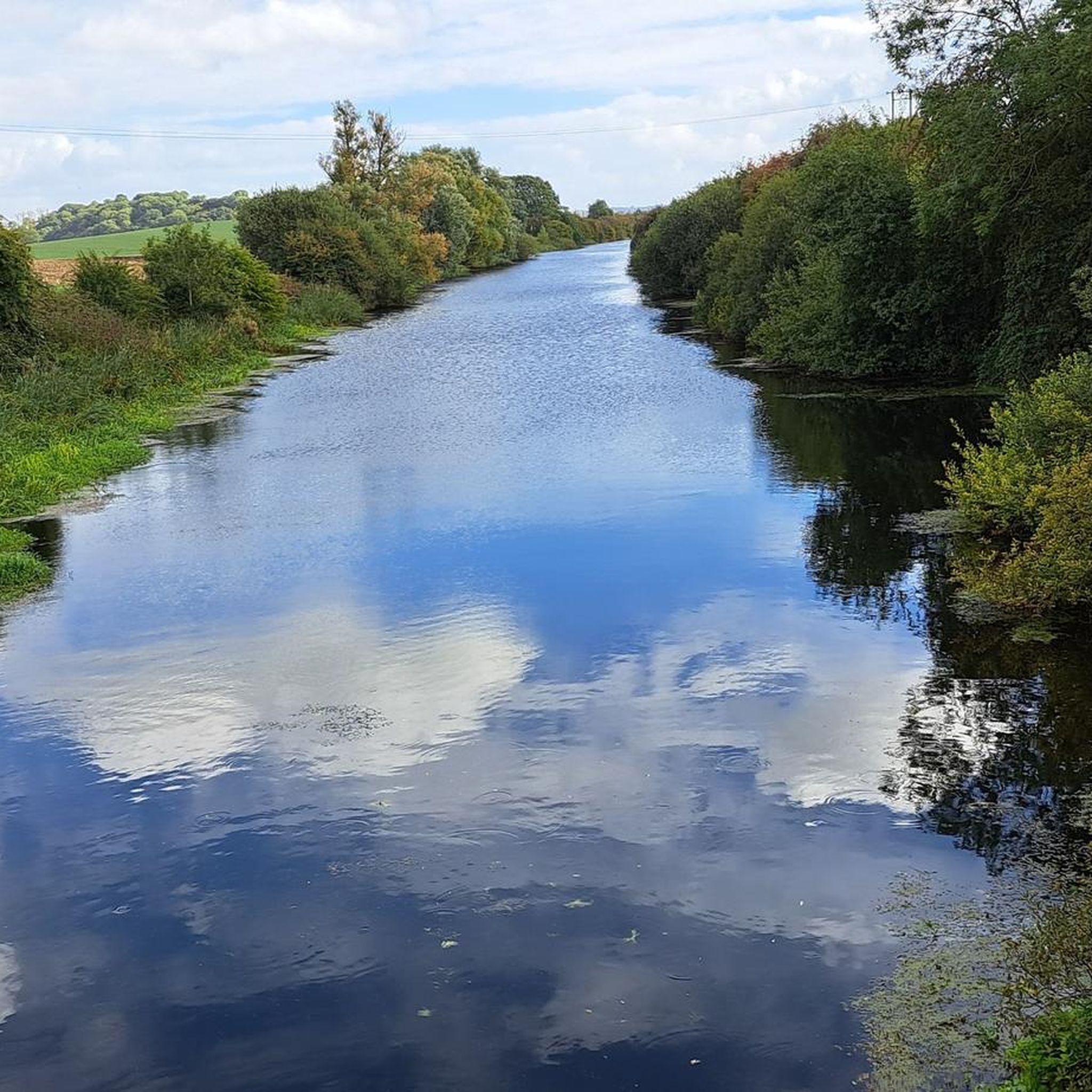
One of the many drains in the Somerset Levels, King's Sedgemoor Drain was originally built in the 18th century. The Levels are a major region of seasonal flooding and the channels were constructed to aid the draining of the area, protecting the low-lying villages and farmland. As you pass this drain at Parchey Bridge, it's easy to see the perfectly straight course of the river.
2
0
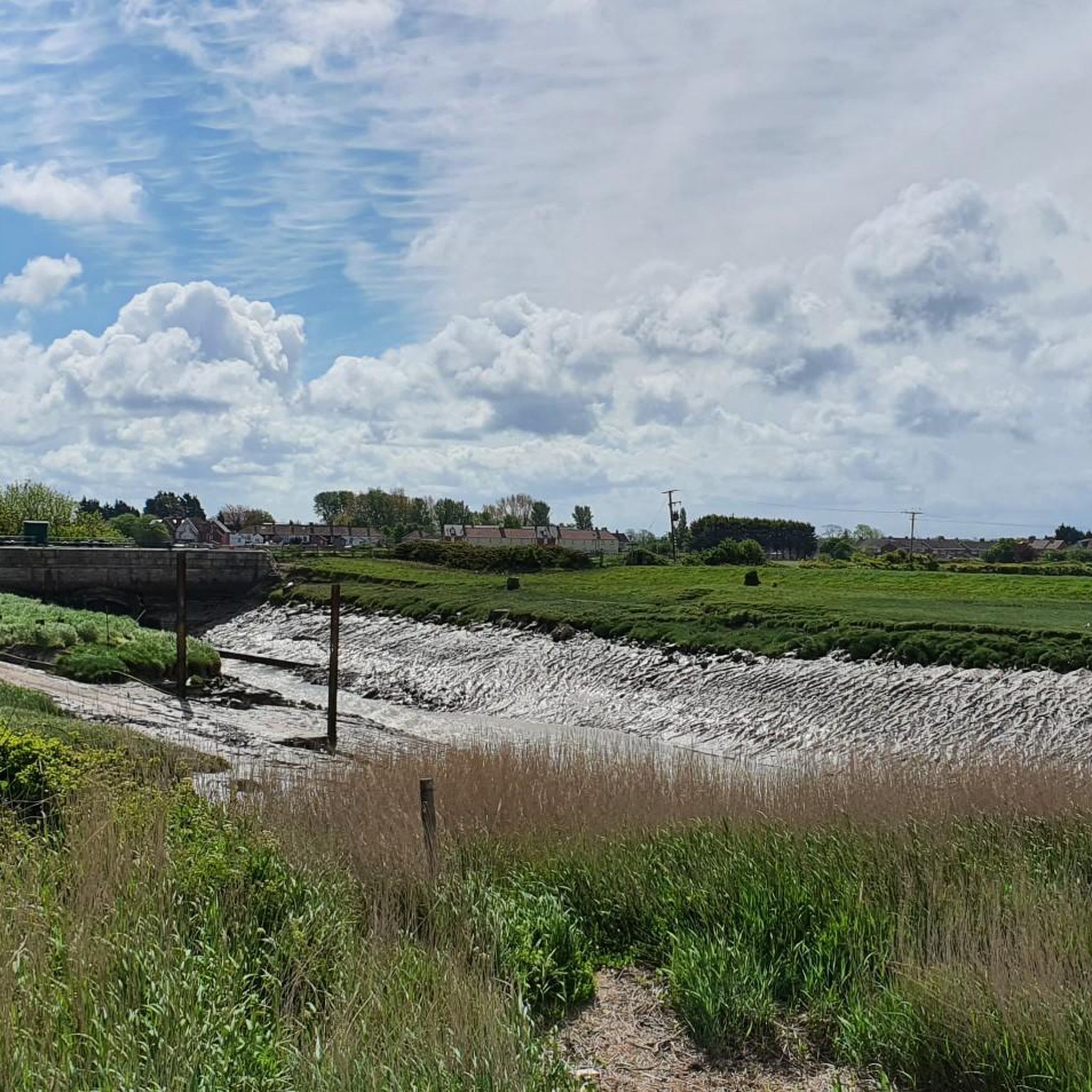
‘Clyce’ or ‘clyse’ is a regional word for sluice and you’ll find many if you walk along the River Parrett. The Somerset Levels is reclaimed land and barely above sea level, resulting in a sprawling wetland area. The water management of the Levels has been going for hundreds, if not thousands of years and sluices are an important part of controlling the run-off from the rivers. Many of the clyces you’ll find have been in place for a considerable amount of time and are a fascinating part of the local history. New ones are still built today.
3
0
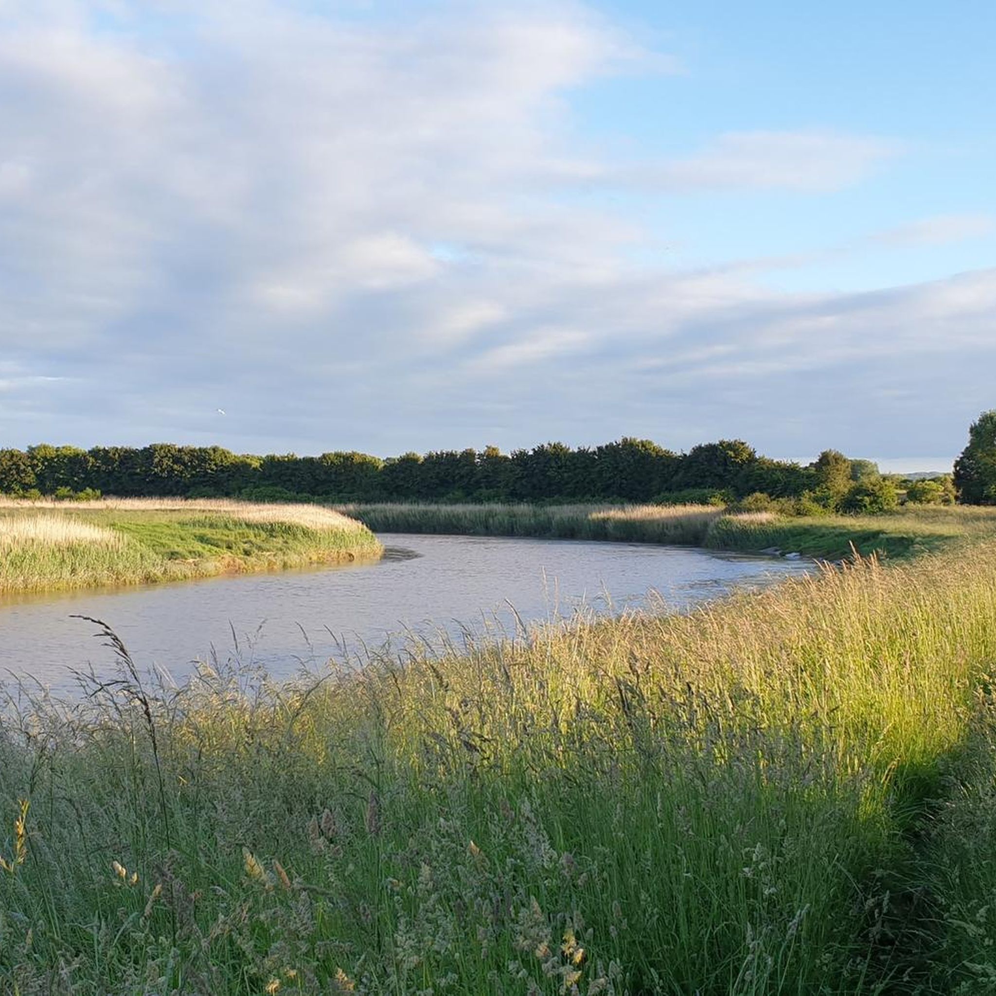
While the River Parrett is tidal all the way up to Oath, further inland, Dunball is the first point at which mudflats are particularly evident. When the tide is low, the mud here is filled with birds, hunting around for snacks. Dunball is also a working dockyard, the last on the River Parrett. It’s evidence of this river’s industrial past and the docks can be clearly seen from the River Parrett Trail on the southern bank.
2
0
The termination of the Bridgwater and Taunton Canal, Bridgwater Docks is a floating harbour. In its heyday in the 1800s, it saw thousands of vessels a year. The construction had been done under a mortgage and the company, unable to keep up with payments, sold the canal and docks to a railway company instead. The docks were last used for commercial activity in 1971 and are now operated by council. It’s a pretty area to walk around and you’ll see plenty of narrowboats in the marina.
2
0

Gravel section of the NCN route 3 alongside the river.
1
0

Nice offroad stretch along the drain. Not one for road bikes though
0
0
Frequently Asked Questions
How many hiking trails are available around Puriton?
There are over 100 hiking trails around Puriton, offering a wide range of options for exploring the tranquil rural landscapes and waterways of Somerset. The majority of these, 67 routes, are classified as easy.
Are there many easy hiking routes in Puriton?
Yes, Puriton is known for its gentle and accessible paths. Over 60% of the trails are rated as easy, making it an ideal location for relaxed strolls. A great example is the King's Sedgemoor Drain loop from Chedzoy, an easy 3.1-mile path that follows the historic drain through rural farmland.
What kind of landscapes can I expect to see on a hike near Puriton?
Hiking around Puriton offers diverse rural landscapes. You'll encounter the undulating terrain of the Polden Hills, the prominent King's Sedgemoor Drain, and the scenic Bridgwater & Taunton Canal. The area also features wetland environments at WWT Steart Marshes and paths along the River Parrett and Bridgwater Docks, providing views of the region's natural beauty and industrial heritage.
Are there any circular walks around Puriton?
Yes, many of the trails around Puriton are circular, allowing you to start and end in the same location. Popular options include the Church of St Mary – King's Sedgemoor Drain loop from Bawdrip, which offers views of the King's Sedgemoor Drain, and the shorter King's Sedgemoor Drain loop from Bawdrip through open countryside.
What are some interesting landmarks or attractions to see along the trails?
The trails around Puriton offer glimpses of local history and natural beauty. You might encounter the historic King's Sedgemoor Drain, the picturesque Bridgwater & Taunton Canal, and the River Parrett. Nearby attractions include the Fenlyn's Clyce, a historical site, and the Brent Knoll Summit and Jubilee Monument for panoramic views.
Are the hiking trails around Puriton suitable for families?
Absolutely. The focus on easy hiking routes and gentle terrain makes many trails around Puriton suitable for families. Paths along the King's Sedgemoor Drain and the Bridgwater & Taunton Canal are generally flat and accessible, providing pleasant outings for all ages.
Can I bring my dog on the hikes in Puriton?
Many public footpaths and trails around Puriton are dog-friendly. However, it's always recommended to keep dogs on a lead, especially when passing through farmland with livestock or in nature reserves like WWT Steart Marshes, to protect wildlife and ensure safety.
What is the best time of year to go hiking in Puriton?
Puriton offers pleasant hiking conditions throughout much of the year. Spring and summer bring vibrant greenery and warmer weather, while autumn provides beautiful colors. The generally easy terrain also makes many routes suitable for winter walks, though paths can be muddy after rain.
Are there any challenging hikes in the Puriton area?
While Puriton is primarily known for its easy and moderate routes, there are a few options for those seeking a bit more challenge. For instance, the Curved Metal Bridge Over River – Fenlyn's Clyce loop from Bridgwater is a moderate 10.4-mile hike that offers a longer distance, though the elevation gain remains minimal.
Where can I find parking for hiking trails in Puriton?
Parking is generally available in or near the villages that serve as starting points for many trails, such as Bawdrip or Chedzoy. For routes closer to Bridgwater, you can often find parking in town, which provides access to paths along the Bridgwater & Taunton Canal and the River Parrett.
What do other hikers enjoy most about hiking in Puriton?
The hiking experience in Puriton is highly rated by the komoot community, with an average score of 4.4 stars. Reviewers often praise the tranquil rural landscapes, the easy accessibility of the paths, and the scenic views along the King's Sedgemoor Drain and the Bridgwater & Taunton Canal.
Are there any river or canal walks near Puriton?
Yes, Puriton is well-situated for river and canal walks. The Bridgwater & Taunton Canal offers a lovely 14.5-mile path, part of the Samaritans Way South West. You can also explore paths along the River Parrett and around the picturesque Bridgwater Docks, such as the Bridgwater Docks – Riverside Bike Path loop from Bridgwater.
Most popular routes around Puriton
Most popular attractions around Puriton

Get inspired with the komoot mobile app


Explore more
Browse the best Hikes in other regions.
