The best cycling routes around Pawlett
4.6
(202)
1,396
riders
173
rides
Touring cycling around Pawlett is characterized by the flat coastal plains and expansive wetlands of the Somerset Levels, offering a unique landscape for exploration. The region features a network of waterways, including the River Parrett and the Bridgwater and Taunton Canal, providing largely traffic-free routes. While the immediate area is low-lying, it is situated within reach of the rolling Quantock Hills and Mendip Hills, which offer more varied terrain. This diverse geography supports a range of touring cycling experiences, from…
Last updated: August 20, 2026
18
riders
Hard bike ride. Very good fitness required. Mostly paved surfaces. Suitable for all skill levels.
4.6
(5)
32
riders
Hard bike ride. Very good fitness required. Mostly paved surfaces. Suitable for all skill levels.

Sign up for free
5.0
(2)
22
riders
Easy bike ride. Great for any fitness level. Mostly paved surfaces. Suitable for all skill levels.
12
riders
Easy bike ride. Great for any fitness level. Mostly paved surfaces. Suitable for all skill levels.
2
riders
Easy bike ride. Great for any fitness level. Mostly paved surfaces. Suitable for all skill levels.
Get access to more routes and recommendations from other explorers.
Sign up for free
Already have an account?
Our route recommendations are based on thousands of hikes, rides, and runs completed by other people on komoot.
Start today with a free account
Your next adventure awaits.
Login or Signup
Tips from the Community


Featuring a wide selection of drinks, outstanding atmosphere and a fantastic menu, this uniquely decorated café and bar is sure to please. https://leatherandlacebarandgrill.com/
0
0


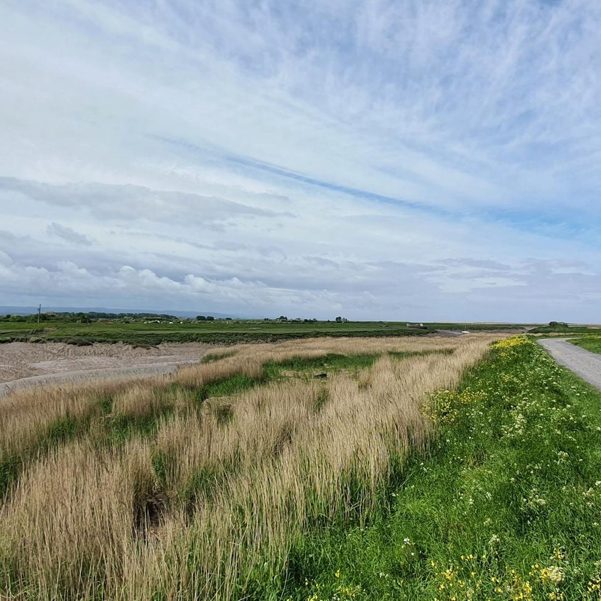
UPDATE & OPEN; The Chedzoy/Bawdrip section which was closed is now reopened to walkers and bike riders ; Information obtained from Sustran 2/7/25
1
0

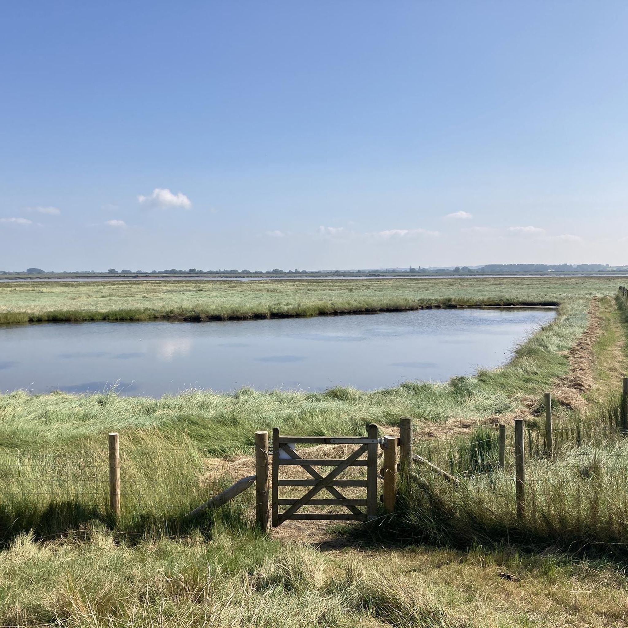
Really pretty little path. Only downside is how short it is.
0
0

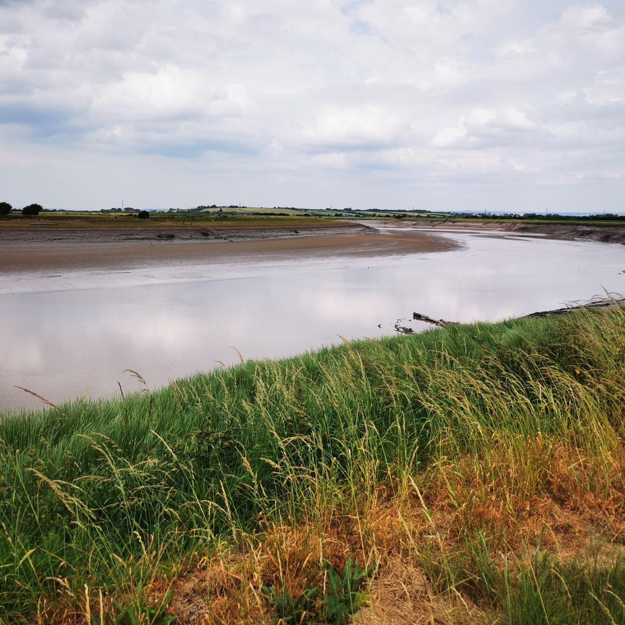
Use fat tyres with tread
0
0


Expansive stretch of sandy beach (at low tide) with views to the fort.
0
0
Frequently Asked Questions
What kind of terrain can I expect when touring cycling around Pawlett?
Touring cycling around Pawlett primarily features the flat coastal plains and expansive wetlands of the Somerset Levels. You'll find many routes along canal towpaths and rural roads, offering a generally easy riding experience. However, the region is also within reach of the rolling Quantock Hills and Mendip Hills, which provide more varied and challenging terrain for those seeking elevation.
Are there many easy touring cycling routes suitable for beginners in Pawlett?
Yes, Pawlett offers a good selection of easy touring cycling routes. There are 87 easy routes available, many of which traverse the flat Somerset Levels and follow canal towpaths, making them ideal for beginners or those preferring a relaxed ride. An example of an easy route is the Burnham-on-Sea Pier – Brean Sands Beach loop from Highbridge and Burnham, which covers nearly 30 km with minimal elevation.
What are some notable natural features or landmarks I can see along touring cycling routes near Pawlett?
The area around Pawlett is rich in natural beauty and interesting landmarks. You can explore the expansive wetlands of the Somerset Levels, witness the unique water management features like Fenlyn's Clyce (highlight), or visit the WWT Steart Marshes (highlight) for birdwatching. Further afield, the Quantock Hills offer extensive views, and you might even spot red deer in woodlands like Great Wood.
Are there any family-friendly touring cycling routes in the Pawlett area?
Absolutely. The flat terrain of the Somerset Levels and the numerous canal towpaths make many routes suitable for families. The Bridgwater and Taunton Canal, part of National Cycle Route 3, offers a largely traffic-free and flat path perfect for all ages. While specific family-friendly routes are not detailed in the guide, the abundance of easy routes (87 in total) provides plenty of options for family outings.
What do other touring cyclists say about the routes around Pawlett?
The touring cycling routes around Pawlett are highly regarded by the komoot community, with an average rating of 4.6 stars from over 190 reviews. Cyclists often praise the diverse landscape, from the tranquil wetlands to the scenic coastal paths, and appreciate the variety of routes available for different skill levels.
Can I find circular touring cycling routes starting near Pawlett?
Yes, many of the touring cycling routes around Pawlett are designed as loops, allowing you to start and finish in the same location. For example, the Somerset Levels Wetlands – Sweets Tea Rooms loop from Highbridge and Burnham is an easy 32.4 km circular route through the wetlands, perfect for a leisurely ride.
What are the options for parking when accessing touring cycling routes in Pawlett?
While specific parking facilities for each route are not detailed, Pawlett's proximity to towns like Bridgwater and Burnham-on-Sea suggests that parking options would be available in these areas, especially near popular starting points for routes like the Bridgwater and Taunton Canal or coastal paths. It's advisable to check local parking information for your chosen starting point.
Is public transport available to reach touring cycling routes around Pawlett?
Pawlett is located in Somerset, and public transport options, including bus services, connect it to nearby towns like Bridgwater and Burnham-on-Sea. These towns often serve as access points for various cycling routes, including National Cycle Route 3 and 33. Cyclists should check local bus schedules and policies regarding bicycle transport.
Are there any challenging touring cycling routes for experienced riders near Pawlett?
Yes, for experienced riders seeking a challenge, there are 22 difficult touring cycling routes available. These routes often venture into areas with more elevation, such as the approaches to the Quantock Hills or Mendip Hills. An example is the Brean Down Way Cycle Path – Bridgwater and Taunton Canal loop from Highbridge and Burnham, a demanding 90 km route with notable elevation changes.
What is the best time of year to go touring cycling in Pawlett?
The best time for touring cycling in Pawlett generally aligns with the warmer, drier months from spring through early autumn (April to October). During this period, the weather is more favorable, and the flat terrain of the Somerset Levels is particularly enjoyable. However, the region's coastal and wetland characteristics mean that conditions can change, so checking local weather forecasts is always recommended.
Are there cafes or pubs along the touring cycling routes in Pawlett for refreshments?
While specific cafes and pubs directly on every route are not listed, the region's network of routes often passes through or near villages and towns where you can find refreshment stops. The Somerset Levels Wetlands – Sweets Tea Rooms loop from Highbridge and Burnham explicitly mentions a tea room, indicating that such amenities are available along some routes. Exploring local villages will likely reveal many options for a break.
Are there any specific long-distance touring cycling routes that can be accessed from Pawlett?
Yes, Pawlett provides access to sections of longer-distance routes. The Bridgwater and Taunton Canal forms part of National Cycle Route 3. Additionally, National Cycle Route 33 runs from Bridgwater to Burnham-on-Sea, offering a 17-mile ride. The South Somerset Cycleway, an 80-mile route, can also be undertaken in stages, connecting historic towns and incorporating sections of Sustrans regional routes.
Most popular routes around Pawlett
Most popular attractions around Pawlett

Get inspired with the komoot mobile app


Explore more
Browse the best Cycling routes in other regions.
