The best running trails around Westonzoyland
4.3
(24)
2,372
runners
199
runs
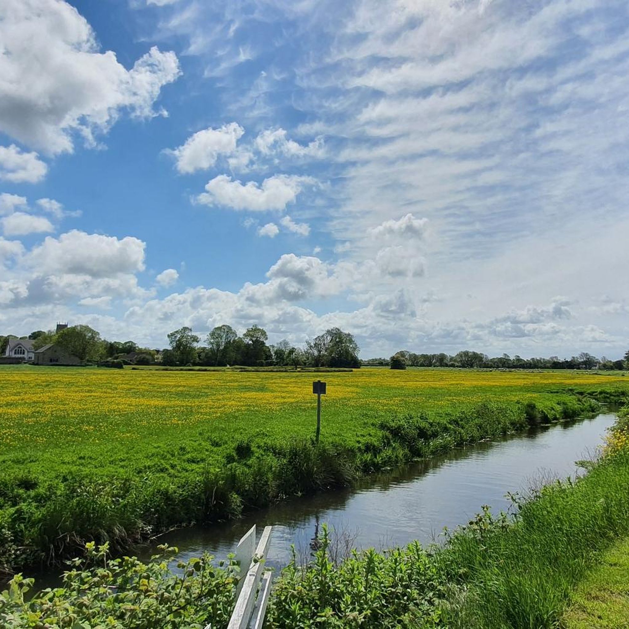
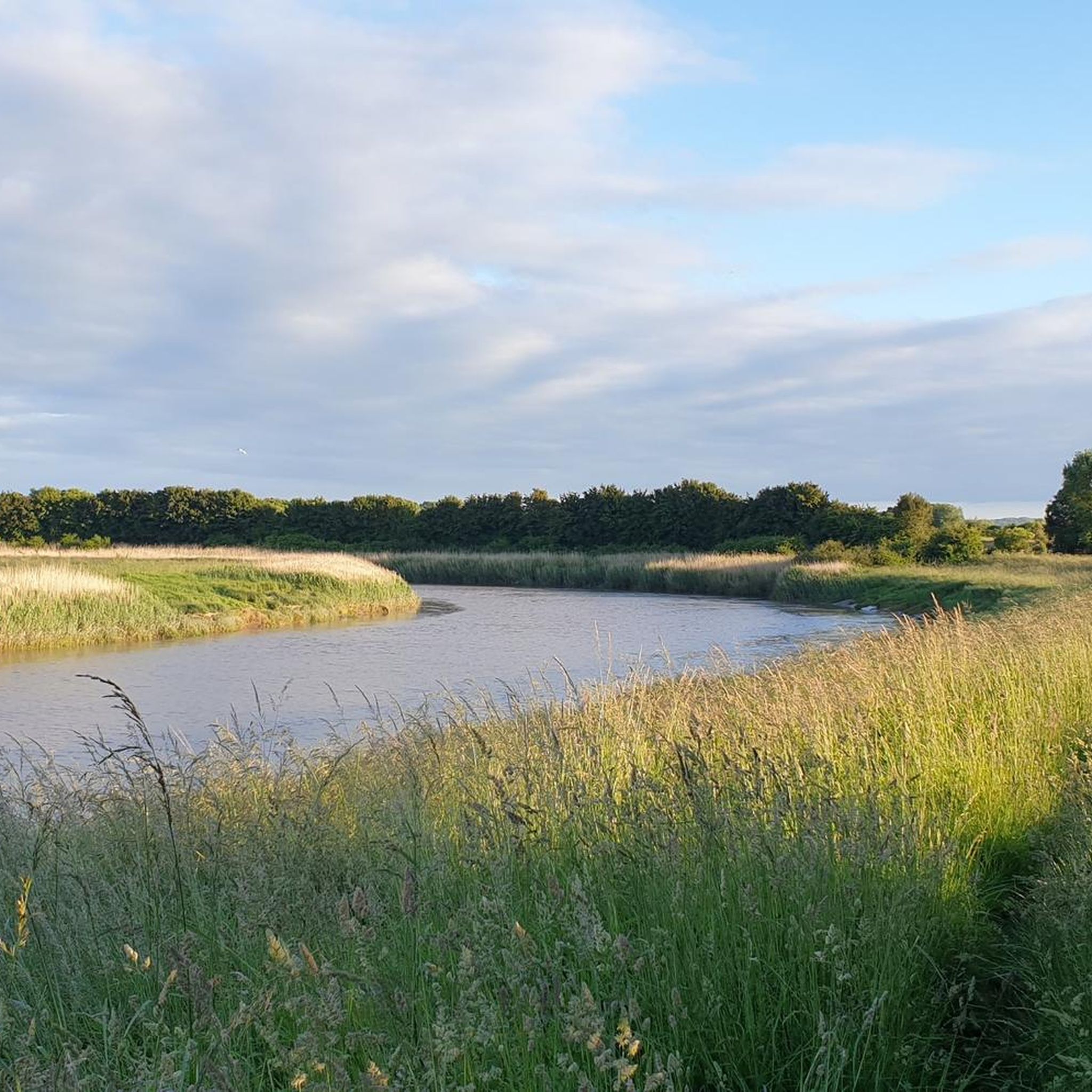
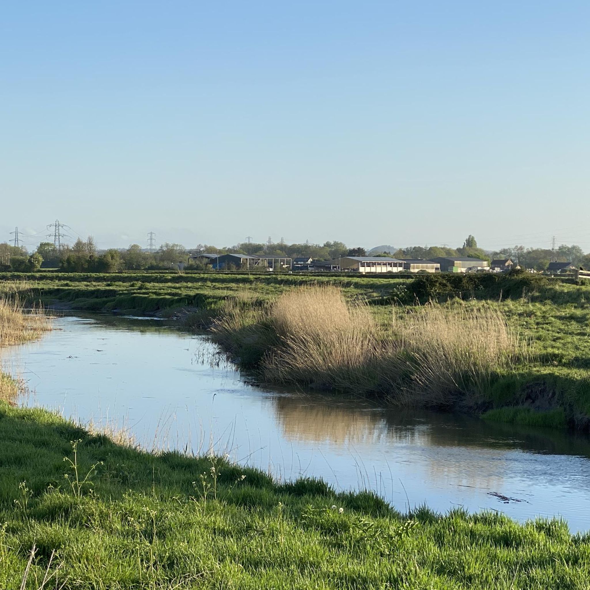
Jogging around Westonzoyland offers access to the expansive and largely flat Somerset Levels, providing an excellent environment for outdoor activities. The region is characterized by a distinctive wetland scenery with a network of drainage ditches, known as rhynes, that crisscross the land. These ancient droves and footpaths alongside waterways create numerous tranquil and accessible running routes. The generally level terrain makes for easy and accessible running routes, suitable for various fitness levels.
Best jogging routes around Westonzoyland
- The most popular…
Last updated: May 15, 2026
23
runners
6.42km
00:40
0m
0m
Moderate run. Good fitness required. Mostly paved surfaces. Suitable for all skill levels.
15
runners
Moderate run. Good fitness required. Mostly paved surfaces. Suitable for all skill levels.

Sign up for free
8
runners
9.56km
00:59
10m
10m
Moderate run. Good fitness required. Mostly paved surfaces. Suitable for all skill levels.
9
runners
3.68km
00:23
10m
10m
Easy run. Great for any fitness level. Mostly paved surfaces. Suitable for all skill levels.
8
runners
11.2km
01:09
20m
20m
Moderate run. Good fitness required. Mostly paved surfaces. Suitable for all skill levels.
Get access to more routes and recommendations from other explorers.
Sign up for free
Already have an account?
Our route recommendations are based on thousands of hikes, rides, and runs completed by other people on komoot.
Start today with a free account
Your next adventure awaits.
Login or Signup
Tips from the Community


Excellent food, either really good sandwiches or main meals. Very decent local beers and ciders. Well worth a detour but closed Monday and Tuesday
0
0


The prominent hill at Burrow Mump rises from the Somerset Levels, overlooking Southlake Moor in the village of Burrowbridge. It is a scheduled monument, and the ruined church on top of the hill is a Grade II listed building.
1
0

Frequently Asked Questions
How many running routes are available around Westonzoyland?
There are over 200 running routes available around Westonzoyland, offering a wide variety of options for different preferences and fitness levels. The komoot community has explored more than 2,400 of these routes.
What kind of terrain can I expect on the running trails in Westonzoyland?
The running trails in Westonzoyland are predominantly flat, characteristic of the expansive Somerset Levels. You'll find a distinctive wetland scenery with a network of drainage ditches (rhynes) and ancient droves, making for generally easy and accessible running. While mostly flat, some routes may feature slight inclines, such as those around landmarks like Burrow Mump.
Are there easy jogging routes suitable for beginners?
Yes, Westonzoyland offers several easy jogging routes perfect for beginners. For instance, the Entry to the Old Airfield loop from Westonzoyland is an easy 2.3-mile (3.7 km) trail that takes about 23 minutes to complete, passing through the historic disused airfield. Another accessible option is the Running loop from Bridgwater, a 3.0-mile (4.8 km) route across the flat Somerset Levels.
Are there more challenging running routes around Westonzoyland?
While the region is largely flat, there are moderate and some more difficult running routes for those seeking a greater challenge. For example, the Burrow Bridge and Toll Gate – Burrow Mump and Ruined Church loop from Burrowbridge is a moderate 6.9-mile (11.1 km) path that includes some elevation changes around Burrow Mump. There are 25 routes classified as difficult in the area for experienced runners.
What do other runners enjoy most about jogging in Westonzoyland?
The running routes around Westonzoyland are highly rated by the komoot community, with an average score of 4.3 stars from over 20 reviews. Runners frequently praise the tranquil, flat landscapes of the Somerset Levels, the well-maintained footpaths, and the unique historical features like the disused airfield and views of Burrow Mump.
Are there any circular jogging routes in the area?
Yes, many of the running routes around Westonzoyland are circular, allowing you to start and finish at the same point. A popular example is the Running loop from Burrowbridge, which offers a moderate 9.5 km (5.9 miles) circuit through the local landscape.
What historical landmarks or points of interest can I see while running?
Westonzoyland's running routes offer glimpses into the region's rich history. You can run through the area of the historic Battle of Sedgemoor site and the former RAF Westonzoyland airfield. A prominent landmark is Burrow Mump, an outcrop crowned with a ruined chapel, offering outstanding views over the flat landscape. You might also encounter Fenlyn's Clyce, a historical site related to the area's drainage system.
Are there scenic running trails with good viewpoints?
Absolutely. The generally flat landscape of the Somerset Levels means that even slight elevations offer expansive views. Running towards Burrow Mump provides a distinct landmark and rewards you with panoramic vistas over the surrounding countryside. The network of rhynes and open fields also creates a unique and serene scenic experience.
Can I bring my dog on the running trails around Westonzoyland?
Many of the public footpaths and droves in the Somerset Levels are suitable for dog walking and running. However, it's always important to keep dogs under control, especially when passing through fields with livestock or near nature reserves. Please check local signage for specific restrictions on individual routes or protected areas.
Are there nature reserves or wildlife viewing opportunities along the routes?
Yes, the region is rich in natural beauty and wildlife. While running, you might pass near significant nature reserves like Shapwick Heath National Nature Reserve or Westhay Moor National Nature Reserve, known for their wetland species and birdlife. The extensive Somerset Levels Wetlands themselves are a managed landscape teeming with diverse flora and fauna.
Is parking available near the running trails?
Parking is generally available in and around Westonzoyland and nearby villages like Burrowbridge and Bridgwater, which serve as starting points for many routes. Specific parking information can often be found in the details of individual komoot tours, or by checking local council websites for public car parks.
How accessible are the running routes by public transport?
Westonzoyland and surrounding areas have some public transport links, primarily bus services connecting to larger towns like Bridgwater. From these towns, you can often access routes directly or with a short walk. It's advisable to check local bus timetables in advance, especially for routes starting in more rural locations.
Most popular routes around Westonzoyland
Most popular attractions around Westonzoyland

Get inspired with the komoot mobile app


Explore more
Browse the best Running Trails & Routes in other regions.
