The best road cycling routes around Timberscombe
4.8
(23)
1,264
riders
108
rides
Road cycling around Timberscombe offers diverse landscapes within Exmoor National Park. The area features a mix of challenging ascents, such as those leading towards Dunkery Beacon and Selworthy Beacon, and quieter country lanes through wooded valleys like the River Avill. Terrain varies from open moorland to sheltered, forested paths, providing a range of experiences for road cyclists. This region is characterized by significant elevation changes and panoramic views across the Bristol Channel.
Best road cycling routes around Timberscombe
- The most…
Last updated: June 26, 2026
3
riders
111km
07:01
2,430m
2,430m
Hard road ride. Very good fitness required. Mostly well-paved surfaces and easy to ride.
11
riders
21.8km
01:03
260m
260m
Easy road ride. Great for any fitness level. Mostly well-paved surfaces and easy to ride.

Sign up for free
8
riders
32.5km
01:43
460m
460m
Moderate road ride. Good fitness required. Mostly well-paved surfaces and easy to ride.
7
riders
26.7km
01:25
420m
420m
Moderate road ride. Good fitness required. Mostly well-paved surfaces and easy to ride.
4
riders
125km
06:23
1,960m
1,960m
Hard road ride. Very good fitness required. Some segments of this route may be unpaved and difficult to ride.
Get access to more routes and recommendations from other explorers.
Sign up for free
Already have an account?
Our route recommendations are based on thousands of hikes, rides, and runs completed by other people on komoot.
Start today with a free account
Your next adventure awaits.
Login or Signup
Tips from the Community


Tackling Porlock Hill westwards from the village on the A39, prepare for an immediate, brutal ascent. The climb bites hard almost instantly, throwing its infamous 25% ramps at you very early, particularly around the tight hairpins. Experience the intense effort required in your lowest gears, feeling the steepness challenge every pedal stroke. As you winch yourself upwards through the woods, glance back (when safe!) at the rapidly unfolding, stunning views over Porlock Bay. Be aware you'll be sharing this famously steep A-road with other vehicles. After battling the steepest sections, the gradient lessens slightly, but the climb persists relentlessly until you emerge onto the exposed Exmoor moorland at the summit and breathtaking views over the Bristol Channel.
2
0

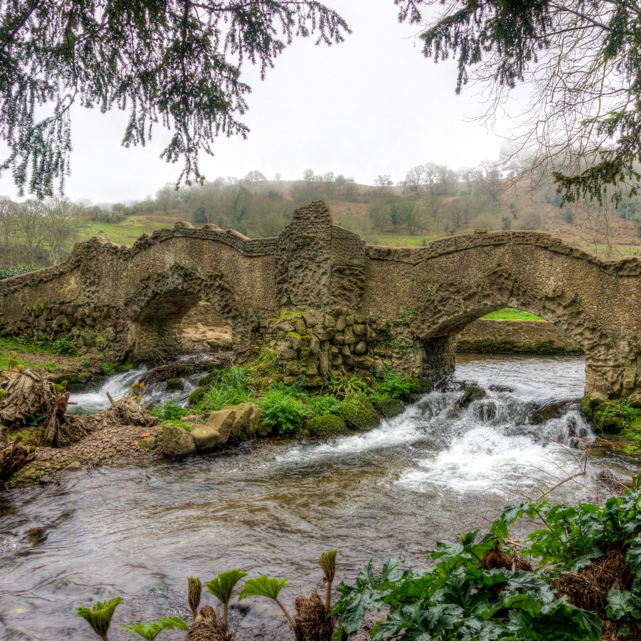
In the middle of the village there is a beautiful, old stone bridge with a ford across the stream next to it. Great photo opportunity!
2
0


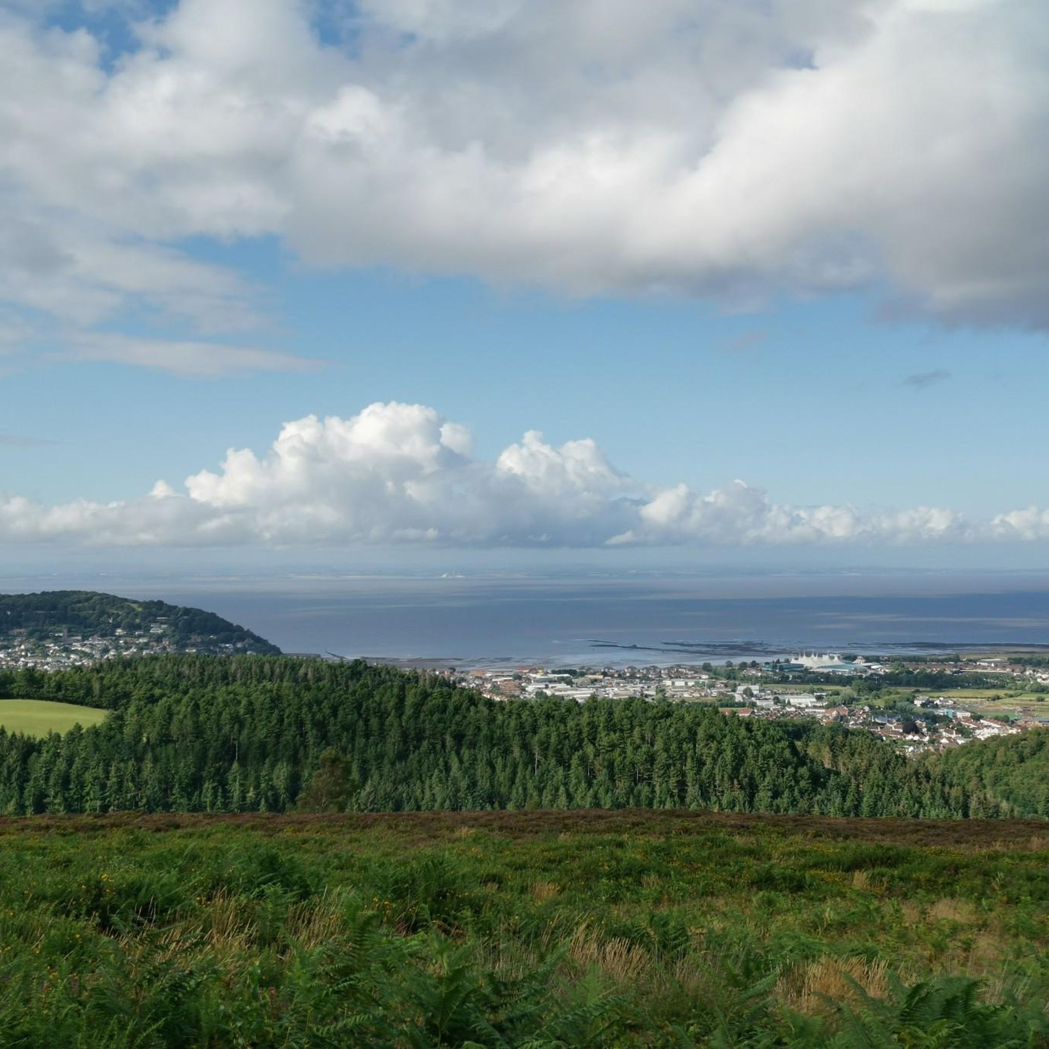
Dunster is a village and civil parish in Somerset, England, within the northeastern boundary of Exmoor National Park. It lies on the Bristol Channel 2.5 miles southeast of Minehead and 20 miles northwest of Taunton. At the 2011 Census, it had a population of 817. There are Iron Age hillforts in the area.
2
2

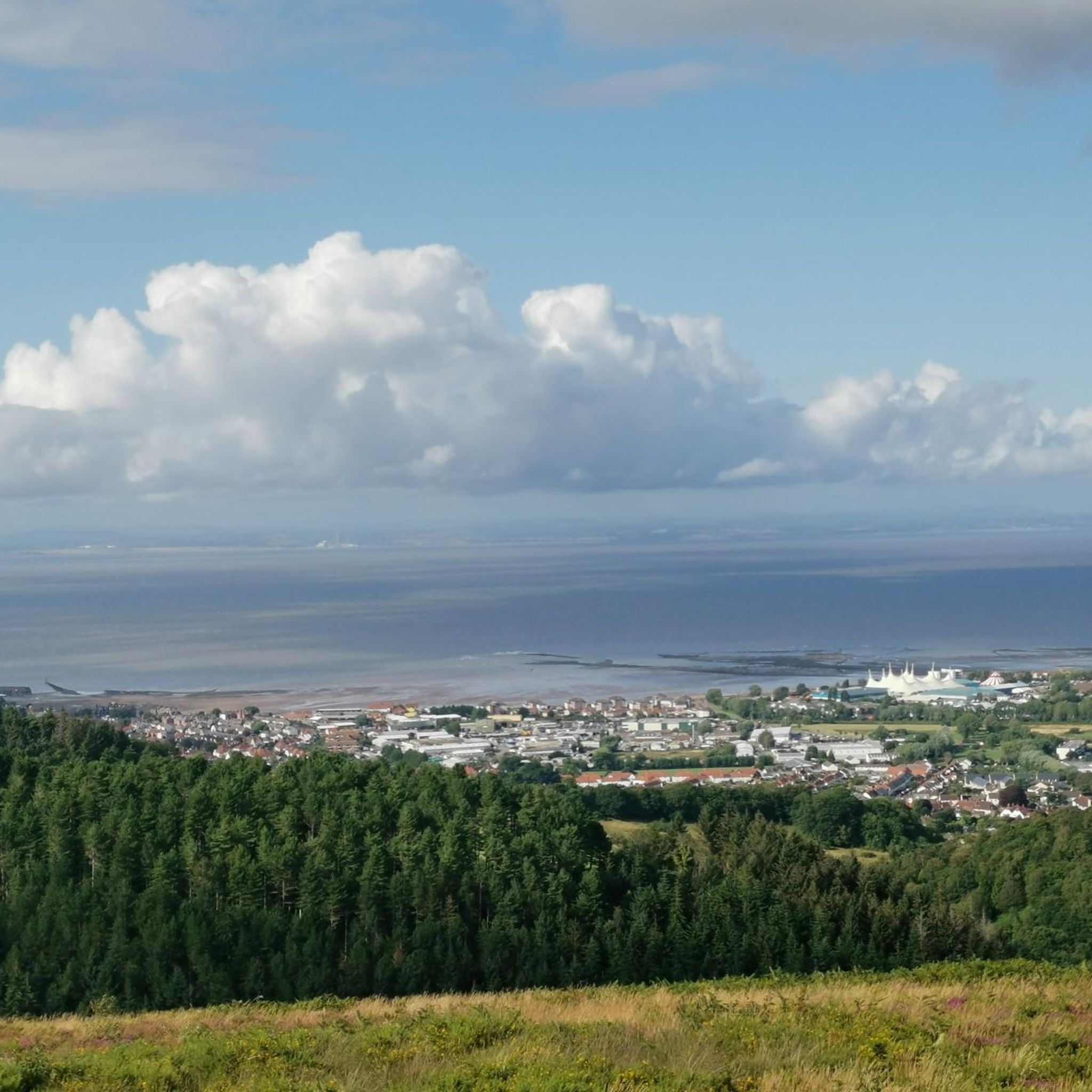
Not the prettiest Exmoor village, but probably the one with the greatest view.
1
0
Frequently Asked Questions
How many road cycling routes are available around Timberscombe?
There are over 110 road cycling routes around Timberscombe listed on komoot, offering a wide range of experiences within Exmoor National Park. These routes cater to various skill levels, from easy spins to challenging climbs.
What kind of terrain can I expect on road cycling routes near Timberscombe?
Road cycling around Timberscombe offers diverse terrain, from challenging ascents towards landmarks like Dunkery Beacon Summit and Selworthy Beacon, to quieter country lanes winding through wooded valleys. You'll encounter open moorland, sheltered forests, and significant elevation changes, all providing panoramic views across the Bristol Channel and Exmoor.
Are there road cycling routes suitable for beginners in Timberscombe?
Yes, Timberscombe offers routes suitable for beginners. For example, the Allerford Stone Bridge – Bossington Village loop from Minehead is an easy 13.4-mile path that provides scenic views through villages and along lower slopes, avoiding the steepest climbs.
Where can I find challenging road cycling routes in the Timberscombe area?
For experienced riders seeking a challenge, the region is famous for its hilly cycle routes. The Porlock Toll Road – Lynton Old Town loop from Minehead is a difficult 69-mile route featuring significant climbs and expansive views across Exmoor. Other routes incorporate demanding ascents towards Dunkery Beacon and Selworthy Beacon, including the notoriously steep Porlock Hill.
What are some scenic viewpoints or attractions along the road cycling routes?
Many routes offer breathtaking views and pass by notable attractions. You can cycle towards Dunkery Beacon Summit, the highest point in Somerset, or Selworthy Beacon for impressive vistas. The medieval Dunster Village and its historic castle are also popular stops, as is Porlock Village Centre.
Are there any circular road cycling routes around Timberscombe?
Yes, many road cycling routes in the Timberscombe area are designed as loops. For instance, the Wheddon Cross Village loop from Cutcombe is a moderate 16.6-mile circular route. The region also features a permanent circular route that follows the path of the 2007 Tour of Britain, offering a fantastic way to explore Exmoor.
What do other road cyclists say about the routes in Timberscombe?
The road cycling routes in Timberscombe are highly rated by the komoot community, with an average score of 4.9 stars from over 20 reviews. Cyclists often praise the challenging hills, quiet country lanes, and the stunning panoramic views across Exmoor National Park.
Are there any routes that include coastal views?
Yes, some routes offer beautiful coastal scenery. The Torre Cider Farm and Café – Blue Anchor Bay loop from Minehead is a 20-mile trail that leads through coastal areas, providing views of the Bristol Channel.
What is the best time of year for road cycling in Timberscombe?
Exmoor National Park, where Timberscombe is located, is beautiful year-round. However, for road cycling, spring and autumn generally offer pleasant temperatures and fewer crowds. Summer can be excellent, but be prepared for potentially warmer weather on exposed moorland sections. Always check local weather forecasts, especially for the exposed high points like Dunkery Beacon.
Can I find routes that pass through charming villages or offer cafe stops?
Absolutely. Many routes are designed to pass through picturesque villages. The 'Peaceful Back Lanes' route, for example, offers a gentle spin through villages with views towards Dunkery Beacon and Porlock Bay. The Torre Cider Farm and Café – Blue Anchor Bay loop from Minehead explicitly mentions a cider farm and café, providing a perfect stop for refreshments.
Are there any very long-distance road cycling routes available?
For those looking for longer rides, the area offers extensive options. The Porlock Toll Road – Glen Lyn Gorge loop from Minehead is a difficult 77.6-mile route, while the Porlock Toll Road – Lynton Old Town loop from Minehead is nearly 70 miles, both providing significant distances and elevation.
Most popular attractions around Timberscombe

Get inspired with the komoot mobile app


Explore more
Browse the best Road cycling routes in other regions.
