The best walks and hikes around Sunk Island
4.5
(132)
2,267
hikers
42
hikes
Hiking around Sunk Island offers routes primarily characterized by flat, estuarial landscapes and coastal views. The region, situated on the edge of the Humber Estuary, features open fields and paths along the water's edge. Elevation changes are minimal, making most routes accessible across its reclaimed land. The terrain is generally level, providing opportunities for easy walks.
Best hiking trails around Sunk Island
- The most popular hiking route is Pelican Rockery and Waterfall – Cleethorpes Pier loop from Cleethorpes, a…
Last updated: May 12, 2026
10
hikers
Moderate hike. Good fitness required. Easily-accessible paths. Suitable for all skill levels.
6
hikers
Moderate hike. Good fitness required. Easily-accessible paths. Suitable for all skill levels.

Sign up for free
5.0
(1)
6
hikers
3.70km
00:56
10m
10m
Easy hike. Great for any fitness level. Easily-accessible paths. Suitable for all skill levels.
7
hikers
21.1km
05:22
60m
60m
Hard hike. Very good fitness required. Easily-accessible paths. Suitable for all skill levels.
3.7
(3)
7
hikers
Easy hike. Great for any fitness level. Easily-accessible paths. Suitable for all skill levels.
Get access to more routes and recommendations from other explorers.
Sign up for free
Already have an account?
Our route recommendations are based on thousands of hikes, rides, and runs completed by other people on komoot.
Start today with a free account
Your next adventure awaits.
Login or Signup
Tips from the Community

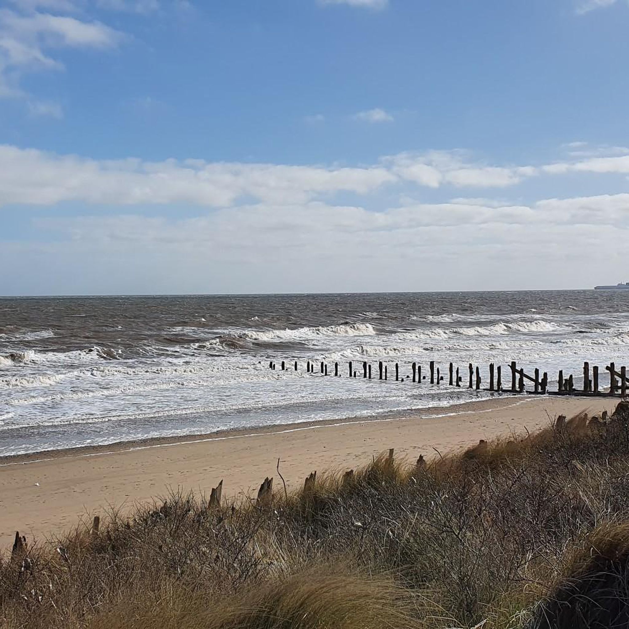
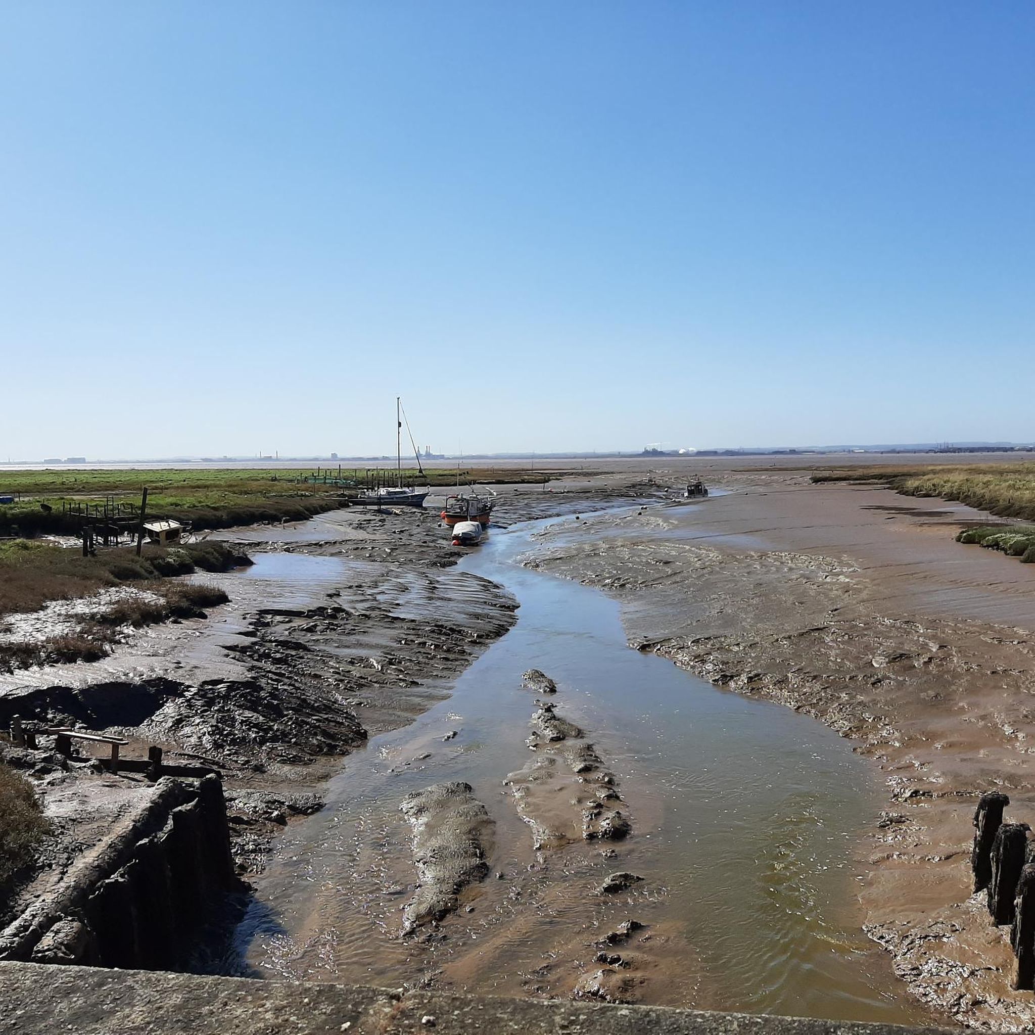
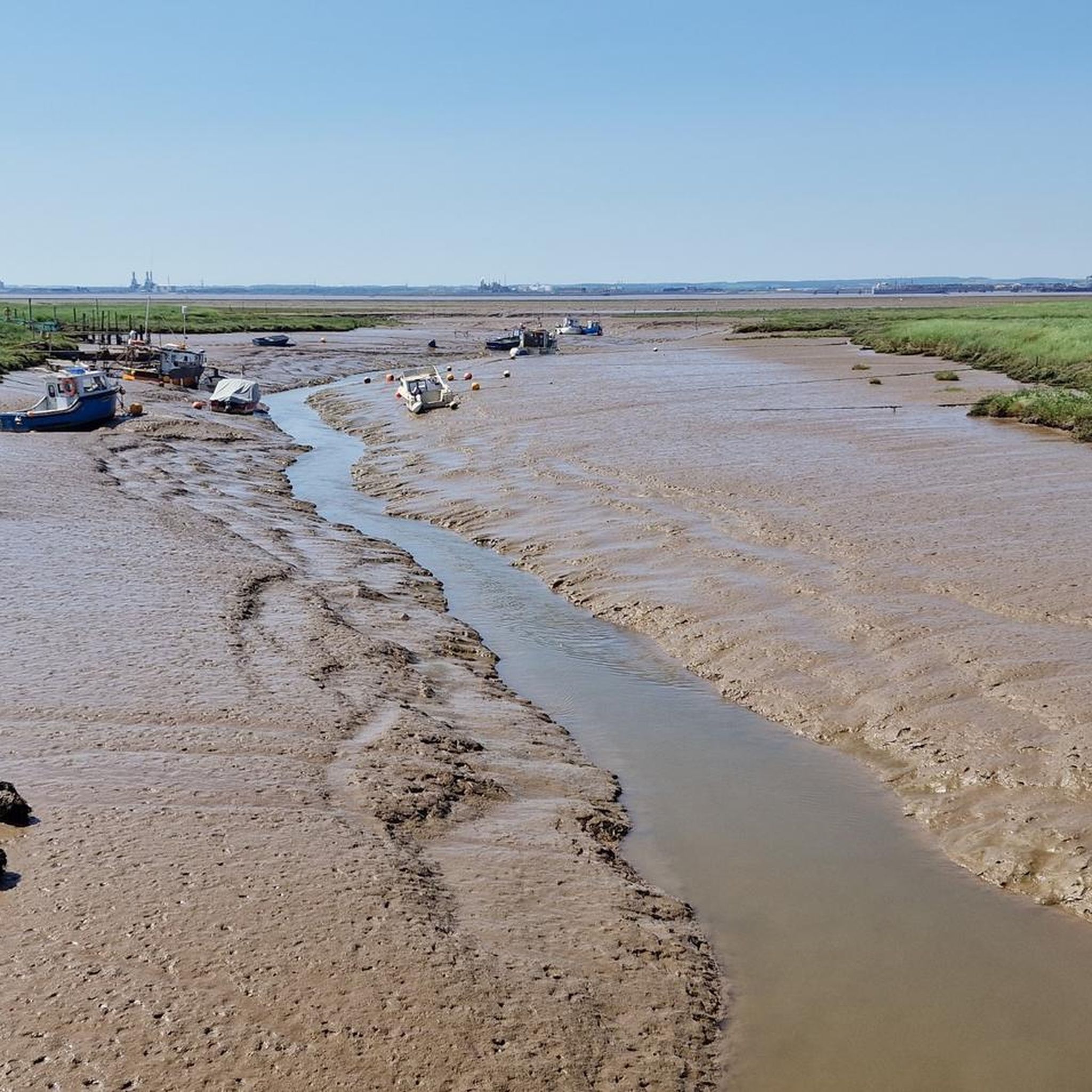
Make sure you check the tide times if you want to paddle in the sea otherwise it goes really far out for miles! Can be dangerous in some parts with the mud when the tides out so keep an eye out for signs of where not to go
0
0

You can't go much further south on the Holderness peninsula than Easington (if you do, you'll get wet). The church dates to the Norman period, with a 12th-century north aisle and 13th-century south aisle. There are a 14th-century clerestory and west tower, and a 15th-century chancel. Set into the wall of the north aisle is a lovely Early English doorway that may have been brought here from Birstall (Burstall) Priory, perhaps when that monastery sank into the Humber River due to erosion. Some of the north nave windows are made using Saxon grave slabs and evidence of the Saxon carvings can easily be seen.
1
0
Easy to miss, hiding behind a fence on the east side of the track.
1
0
The World War I early warning acoustic mirror 335m north east of Kilnsea Grange is one of only four known surviving examples in the north east of England, and the only known example in the country that still retains its sounding column. The device survives well and makes a significant contribution to the study of early 20th century defences in England. At their most sophisticated, the devices could identify the sounds of surface vessels or aircraft up to 25 miles (c40km) away.
2
0
Kilnsea Wetlands is intended to provide refuge for passage and wintering roosting waders that leave the adjacent Humber mudflats at high tide to roost. Plenty of birdwatchers around, although some of the pools were dry when I visited in November.
2
0

The Sound Mirror is the forerunner of radar and was intended to provide early warning of incoming enemy airships and aircraft.
1
0

Although the Meridian crosses several roads on its short journey across East Yorkshire, only two B-roads are known to be marked. The plaque dates from 2000.
0
0

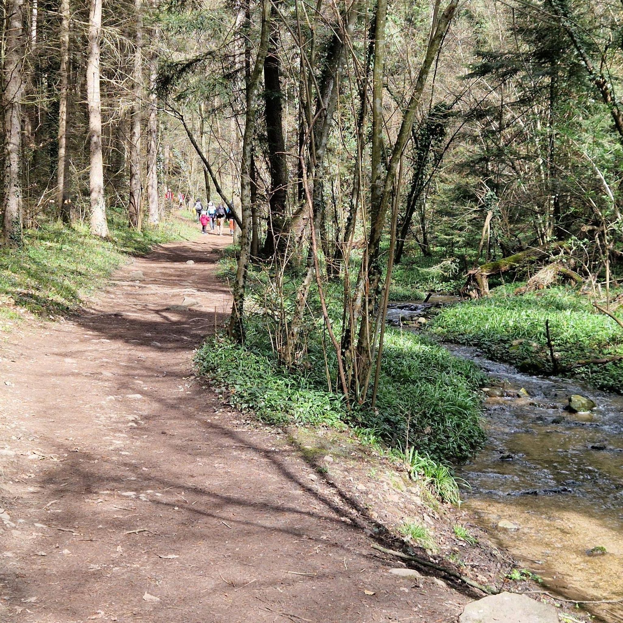
A footpath will lead you through a pretty pocket of woodland near Barnoldby le Beck, where you will discover a refreshing oasis nestled amongst the trees.
0
0
Frequently Asked Questions
What kind of hiking experience can I expect in Sunk Island?
Hiking around Sunk Island is characterized by its flat, estuarial landscapes and coastal views. The trails primarily follow open fields and paths along the Humber Estuary. Elevation changes are minimal, making most routes accessible and suitable for easy walks.
Are there many easy hiking trails in Sunk Island?
Yes, Sunk Island offers a great selection of easy trails. Out of the 43 routes available, 25 are classified as easy, making it an ideal destination for relaxed strolls and less strenuous hikes. An example is the Cleethorpes Pier loop from New Clee, which is just under 3 miles (4.8 km) long.
Are there any challenging hikes in Sunk Island?
Sunk Island is known for its generally flat terrain, with minimal elevation changes. While there are 17 moderate routes, only one trail is classified as difficult. If you're looking for significant climbs or rugged terrain, this region might not be your primary choice, but it offers plenty of opportunities for longer, moderate walks.
Are Sunk Island's hiking trails suitable for families with children?
Absolutely. The flat and generally easy terrain of Sunk Island makes it very suitable for families. Many routes offer coastal views and open spaces, perfect for children to explore. The minimal elevation changes mean less strenuous walks for younger hikers.
Can I bring my dog on the hiking trails in Sunk Island?
Many of the trails in Sunk Island are dog-friendly, offering open spaces and coastal paths for your canine companion. However, as some routes pass through agricultural land or nature reserves, it's always best to keep dogs on a lead and be mindful of local signage and wildlife, especially near the estuary.
Are there circular walking routes available in Sunk Island?
Yes, Sunk Island features several enjoyable circular routes. These are great for exploring the area without retracing your steps. An example is the moderate View of the Humber Estuary – Lockham Trig Point (S2456) loop from Easington, which offers scenic estuarial views.
What kind of wildlife can I expect to see while hiking in Sunk Island?
Given its location along the Humber Estuary, Sunk Island is a fantastic spot for birdwatching. You can often spot various wading birds and waterfowl, especially during migration seasons. The open fields and coastal areas also provide habitats for other local wildlife.
What are some interesting landmarks or attractions near the hiking trails?
The area around Sunk Island offers several points of interest. You can visit the historic Cleethorpes Pier, explore the Spurn Lighthouse, or see the Greenwich Meridian Line Monument in Cleethorpes. The Humber Lifeboat Station and Spurn Discovery Centre also offer insights into the region's maritime heritage and natural environment.
Where can I find parking for Sunk Island walks?
Parking is generally available at various points along the Sunk Island coastline and near trailheads, particularly in or near the villages and towns that serve as starting points for routes. For specific routes, such as the Pelican Rockery and Waterfall – Parking Area loop from New Clee, designated parking areas are often indicated.
What is the best time of year to hike in Sunk Island?
Sunk Island can be enjoyed year-round, but spring and summer offer the most pleasant weather for coastal walks, with longer daylight hours and milder temperatures. Autumn can also be beautiful with changing colors, while winter walks can be invigorating, though conditions may be windier and wetter, requiring appropriate gear.
What do other hikers enjoy most about Sunk Island?
The area is highly rated by the komoot community, with an average score of 4.4 stars from over 125 reviews. Reviewers often praise the peaceful, open landscapes, the refreshing coastal air, and the ease of access to flat, scenic paths, making it a great escape for a relaxing walk.
Are there any hidden gem trails in Sunk Island?
While Sunk Island's main draw is its accessible coastal and estuarial paths, exploring some of the less-trafficked routes can offer a sense of discovery. For instance, the Woodland Clearing loop from Immingham provides a different landscape experience away from the immediate coastline, offering a quieter, more secluded walk.
Most popular attractions around Sunk Island

Get inspired with the komoot mobile app


Explore more
Browse the best Hikes in other regions.
