The best walks and hikes around Kenardington
4.3
(132)
764
hikers
91
hikes
Hikes around Kenardington explore a landscape of rolling hills, ancient woodlands, and historic waterways in the county of Kent. The region is characterized by the flat terrain along the Royal Military Canal and more undulating paths through areas like Orlestone Woods. This mix of environments provides a varied network of public footpaths for walking.
Best hiking trails around Kenardington
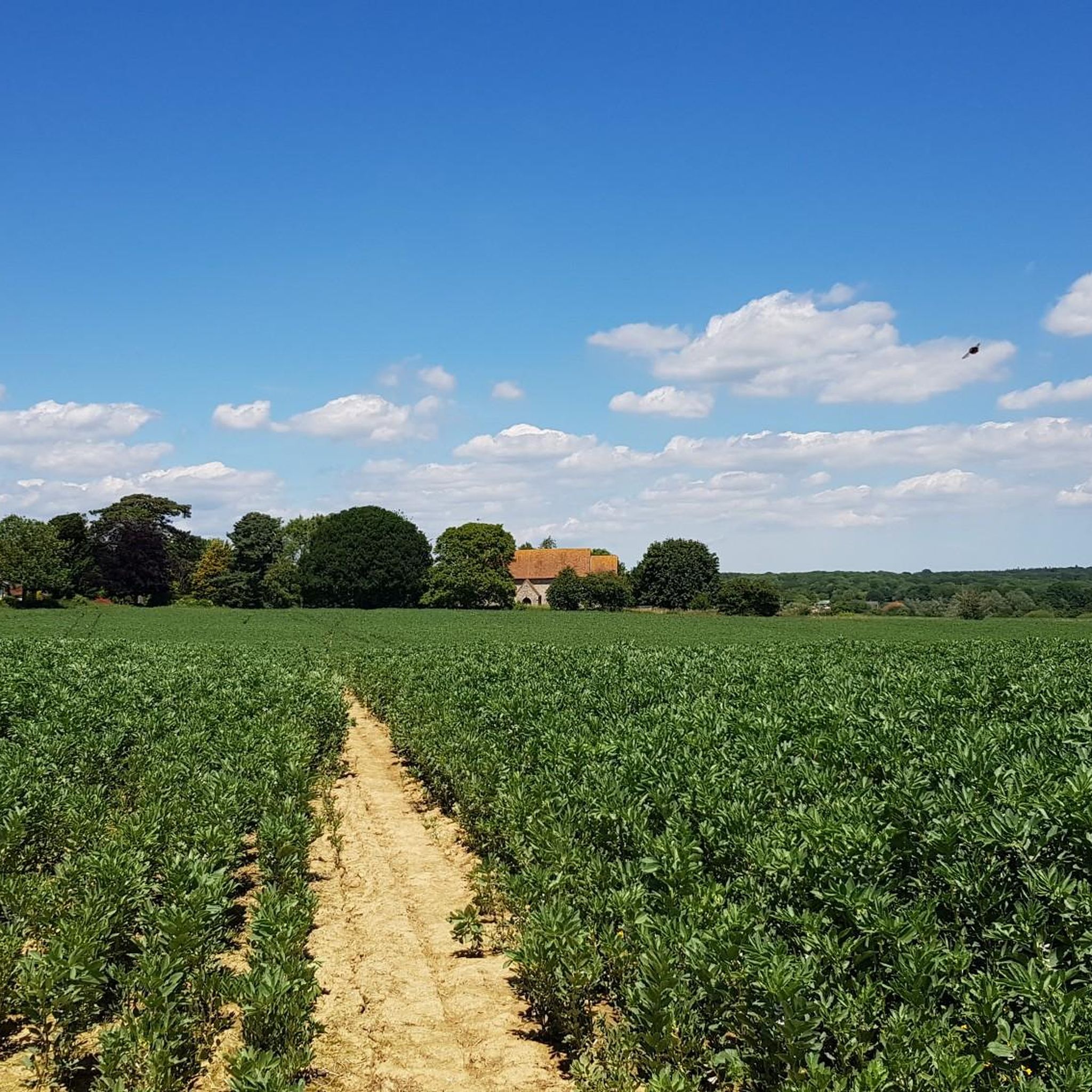
- The most popular hiking route is the View of Gusbourne Vineyards – St Mary's Church, Kenardington loop from Appledore, a 5.2 mile (8.4 km) trail that takes about 2 hours 10 minutes to complete. This route features views of local vineyards and the historic St Mary's Church.
- Another top favourite among local hiking enthusiasts is the Giant Redwoods Forest loop from Orlestone, an easy 2.9 mile (4.7 km) path. The trail leads through woodland terrain known for its notable trees.
- Local hiking enthusiasts also love the St Mary's Church, Kenardington – Royal Military Canal loop from Warehorne, a 4.5 mile (7.3 km) trail combining a section of the canal path with a gentle climb to the church, often completed in about 1 hour 55 minutes.
- Hiking around Kenardington is defined by flat canal-side paths, ancient woodlands, and gentle agricultural hills. The network of Kenardington circular walks offers options for different ability levels, from easy strolls to more moderate hikes.
- The routes in Kenardington are highly rated by the komoot community with an average score of 4.2 stars from more than 100 reviews. More than 700 hikers have used komoot to explore Kenardington's varied terrain.
Last updated: July 2, 2026
4.8
(6)
66
hikers
Moderate hike. Good fitness required. Easily-accessible paths. Suitable for all skill levels.
4.9
(10)
32
hikers
4.73km
01:15
40m
40m
Easy hike. Great for any fitness level. Easily-accessible paths. Suitable for all skill levels.

Sign up for free
5.0
(3)
20
hikers
Easy hike. Great for any fitness level. Easily-accessible paths. Suitable for all skill levels.
3.0
(2)
17
hikers
Moderate hike. Good fitness required. Easily-accessible paths. Suitable for all skill levels.
4.5
(2)
9
hikers
8.23km
02:06
20m
30m
Moderate hike. Good fitness required. Easily-accessible paths. Suitable for all skill levels.
Get access to more routes and recommendations from other explorers.
Sign up for free
Already have an account?
Our route recommendations are based on thousands of hikes, rides, and runs completed by other people on komoot.
Start today with a free account
Your next adventure awaits.
Login or Signup
Popular around Kenardington


Tips from the Community


Paying over the odds in here Is the Tax you pay for having failed to Plan and Prepare youself!
0
0

Beautiful section of walking along the wide grassy banks of the Royal Military Canal.
1
0

This simple bridge spans the Royal Military Canal at the edge of Romney Marsh. Not far from the region invaded before the Battle of Hastings, many hundreds of years later this marsh was a weak point in England's defences against the French, namely, Napoleon. The information board here talks of the deliberation involved in defending the vast marshland so close to France.
0
0
Appledore's church is dedicated to St Peter and St Paul. Dating back to the 13th-century with many 14th-century renovations, the church has plenty of interesting features. Both the tower and north chapel are original 13th-century sections, but the rest of the church is later as the French, common invaders in the region, partially burnt it down toward the end of the 14th century.
0
0
Frequently Asked Questions
Are there many circular walks around Kenardington?
Yes, the area is well-suited for circular walks. Many routes combine different types of scenery in one loop. For instance, you can find trails that take you along the flat Royal Military Canal, through ancient woodlands, and up to viewpoints like St. Mary's Church before returning to your starting point.
What are the best options for a family-friendly walk?
The paths along the Royal Military Canal are flat and easy, making them perfect for a family outing. For a woodland adventure, the Giant Redwoods Forest loop from Orlestone is an easy and relatively short walk that is engaging for all ages.
Are the hiking trails suitable for dogs?
Most public footpaths in the area are great for walking with dogs. The wide-open spaces and woodland trails, such as those in Hamstreet Woods National Nature Reserve, offer plenty of room to explore. Please keep dogs on a lead where livestock is present and be mindful of wildlife, especially near the canal.
Where can I find a good pub on a walking route?
Many walks in the region are planned to pass through or near villages with traditional pubs. The villages of Appledore, Warehorne, and Woodchurch are common start or end points for hikes and have pubs that are popular with walkers for a post-hike refreshment.
How difficult are the hikes in this area?
The difficulty varies. You'll find very easy, flat walks along the canal, which are accessible to almost everyone. There are also a number of moderate hikes with some gentle climbs, such as the View of Gusbourne Vineyards – St Mary's Church, Kenardington loop from Appledore. Overall, the region is not known for strenuous mountain climbs.
What is the terrain like? Can it get muddy?
The terrain is a mix of flat canal towpaths, woodland trails, and paths across rolling farmland. The low-lying areas, particularly near Romney Marsh and in the woods after rainfall, can become very muddy. It's always a good idea to wear waterproof hiking boots, especially outside of the summer months.
Where is the best place to park for a walk?
Parking is generally found in the villages where routes begin, such as Appledore or Warehorne, which offer on-street parking. For walks in specific nature reserves, like the highly-regarded Hamstreet Woods National Nature Reserve, there is a dedicated pay-and-display car park. Arriving early is recommended on sunny weekends.
Can I reach the trails using public transport?
Yes, several villages in the area are accessible by public transport. Hamstreet has a train station, making it a convenient starting point for walks into the nearby woods or towards the canal. Bus services also connect many of the local villages, but it's wise to check timetables in advance as services can be infrequent.
What kind of wildlife might I see?
The region is rich in wildlife. Along the Royal Military Canal, you might spot kingfishers, dragonflies, and various waterfowl. The woodlands, such as Orlestone Forest and Hamstreet Woods, are known for native birds, butterflies, and beautiful displays of bluebells and fungi depending on the season.
Are there any long-distance footpaths that pass through Kenardington?
Yes, the Saxon Shore Way, a 160-mile historical trail, passes through the region. You can walk sections of it, for example by following the path along the Royal Military Canal which forms part of the long-distance route.
What do other hikers think of the routes around Kenardington?
The area is highly rated by the komoot community. With an average score of over 4 stars, reviewers often praise the peaceful atmosphere, the variety of scenery combining woodland and waterways, and the historical points of interest like St. Mary's Church.
How many hiking trails are there to choose from?
There are over 90 hiking routes to explore around Kenardington on komoot. They range from short, easy strolls to more challenging moderate day hikes, ensuring there's a trail for every ability level.
Most popular attractions around Kenardington

Get inspired with the komoot mobile app


Explore more
Browse the best Hikes in other regions.
