The best road cycling routes around Pluckley
4.5
(121)
3,184
riders
472
rides
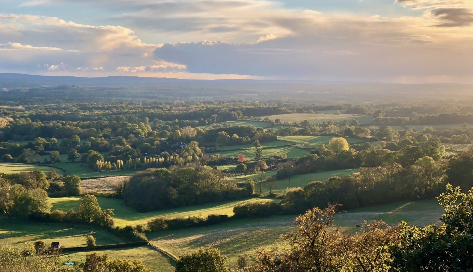
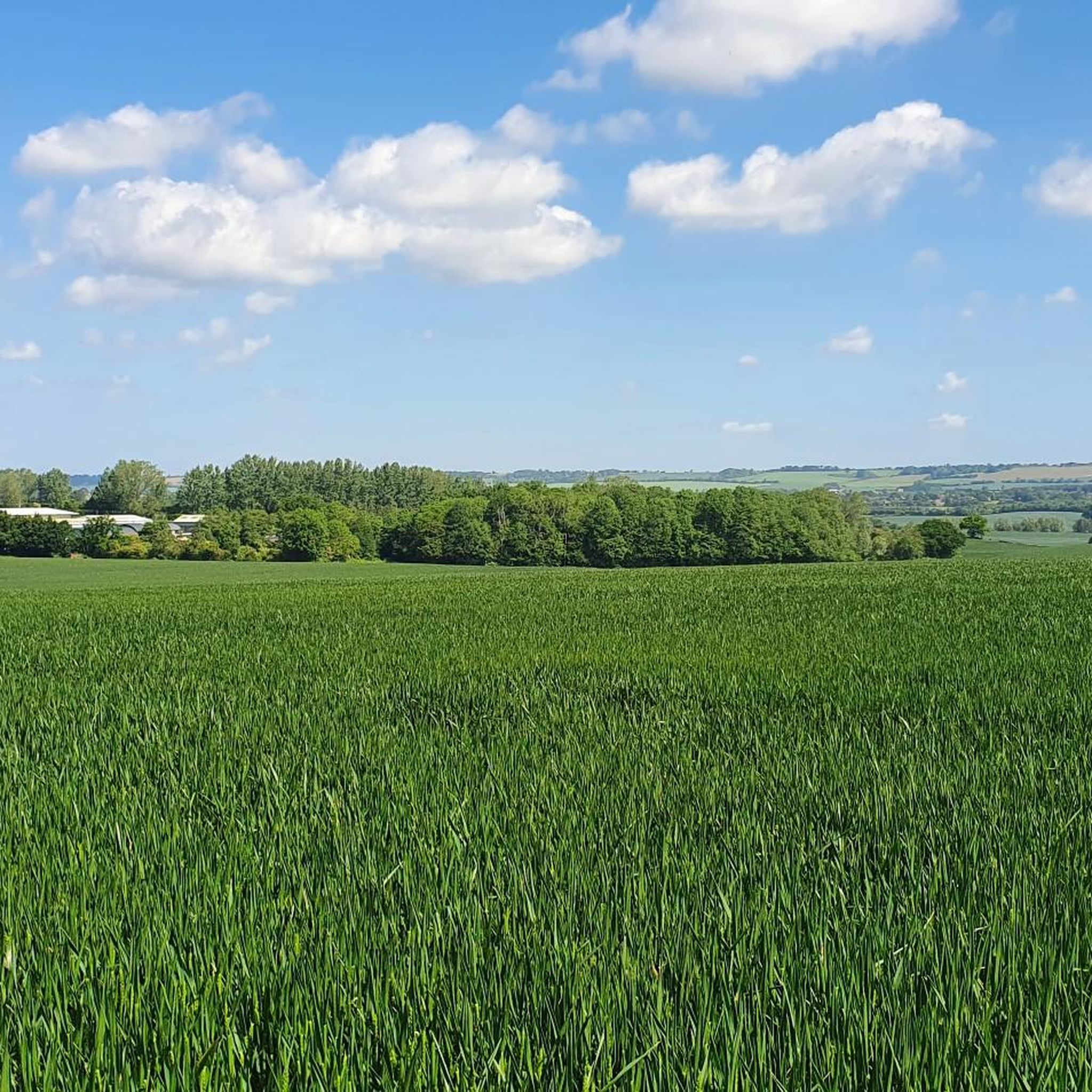
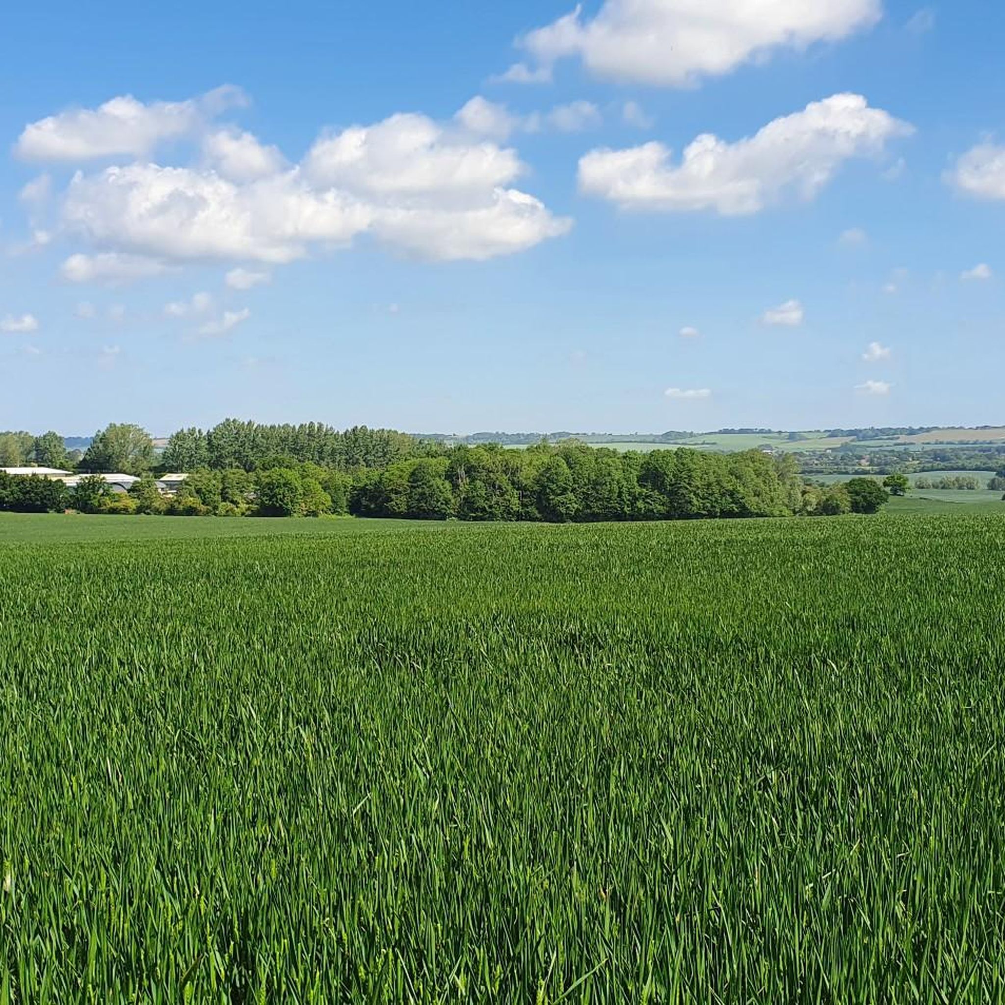
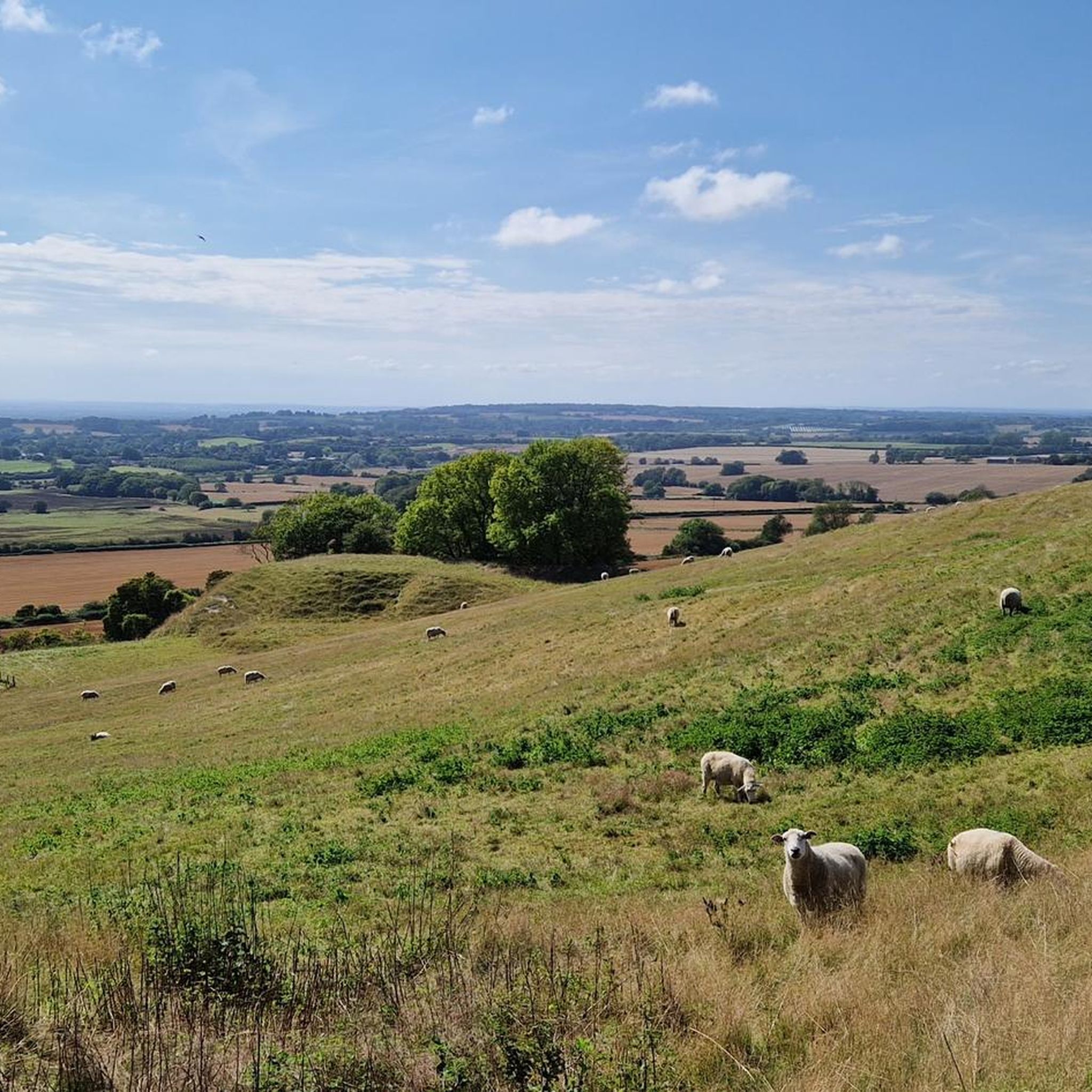
Road cycling around Pluckley offers routes through the gently undulating Kent countryside, characterized by quiet rural lanes and open fields. The region features a network of roads suitable for various skill levels, with modest elevation gains that present manageable hills rather than steep climbs. Road cyclists can explore scenic routes that traverse agricultural land and connect charming villages, providing a tranquil cycling experience.
Best road cycling routes around Pluckley
- The most popular road cycling route is Holbeam Climb – Hart…
Last updated: May 23, 2026
5.0
(1)
11
riders
25.6km
01:12
290m
290m
Easy road ride. Great for any fitness level. Mostly well-paved surfaces and easy to ride.
19
riders
111km
04:26
340m
340m
Moderate road ride. Good fitness required. Mostly well-paved surfaces and easy to ride.

Sign up for free
16
riders
40.6km
01:40
160m
160m
Easy road ride. Great for any fitness level. Mostly well-paved surfaces and easy to ride.
5.0
(1)
11
riders
56.9km
02:20
290m
290m
Moderate road ride. Good fitness required. Mostly well-paved surfaces and easy to ride.
4.0
(2)
9
riders
36.6km
01:32
150m
150m
Easy road ride. Great for any fitness level. Mostly well-paved surfaces and easy to ride.
Get access to more routes and recommendations from other explorers.
Sign up for free
Already have an account?
Our route recommendations are based on thousands of hikes, rides, and runs completed by other people on komoot.
Start today with a free account
Your next adventure awaits.
Login or Signup

Other adventures around Pluckley

Tips from the Community

The pub's name is 'Carpenters Arms'. Very friendly ideed, I stopped there during a ride myself.
0
0


Great coffee (roasted locally by Coldblow Coffee) The toasties we had were super, along with the homemade cake. Clean toilets and friendly staff. We sat in the front garden so we could see the bikes left by the old Post box. Well recommended, with good opening hours. https://www.theoldpostofficecoffeeshop.co.uk/
1
0

Feels like you can take your foot of the gass and just enjoy life in these surroundings
0
0
Moat Road is great for cycling in general, Not to congested with a few side roads from it like this one.
0
0
The Stretch of StapleHurst Road Leading into Mill lane is a good cut through for longer tours often done across the Weald such as the Coasts and Oast and Thanet Platinum Audax 200k
0
0
Home made food and great coffee and service. Cant recommend them enough!
0
0
Frequently Asked Questions
How many road cycling routes are available around Pluckley?
There are over 480 road cycling routes around Pluckley, offering a wide variety of options for different skill levels and preferences. The region is well-suited for exploration on two wheels.
What kind of terrain can I expect when road cycling near Pluckley?
Road cycling around Pluckley features the gently undulating Kent countryside, characterized by quiet rural lanes and open fields. You'll encounter modest elevation gains with manageable hills rather than steep climbs, providing a tranquil cycling experience through agricultural land and charming villages.
Are there easy road cycling routes suitable for beginners or families in Pluckley?
Yes, Pluckley offers a good selection of routes suitable for beginners and families. There are over 160 easy routes, such as the Scenic Country Lane – Woodchurch Village Green loop from Bethersden, which is 25.2 miles (40.6 km) and leads through rolling countryside with gentle gradients.
Are there more challenging or advanced road cycling routes around Pluckley?
While the region is known for its gentle hills, there are routes that offer a greater challenge. The Quiet Country Lane – Dungeness Lighthouse loop from Pluckley, for instance, is a moderate 68.2 miles (109.8 km) path that extends towards the coast, providing a longer endurance test with varied landscapes.
What are some scenic highlights or landmarks I can see along the road cycling routes?
Many routes offer picturesque views of the Kent countryside. You can pass by historical sites like Leeds Castle or enjoy the tranquility of Eastwell Lake. Other natural points of interest include Lenham Cross and the Hothfield Common Nature Reserve.
Are there many loop routes available for road cycling in Pluckley?
Yes, the majority of road cycling routes around Pluckley are designed as loops, allowing you to start and finish at the same point. This makes planning your ride convenient, whether you're looking for a short spin or a longer excursion like the View of the Kent Countryside – Staplehurst Road loop from Charing.
What is the best time of year for road cycling in Pluckley?
The gently undulating terrain of Pluckley makes it suitable for road cycling throughout much of the year. Spring and autumn offer pleasant temperatures and beautiful scenery, while summer provides longer daylight hours. Even in winter, many routes remain accessible, though conditions can be cooler and require appropriate gear.
What do other road cyclists enjoy most about the routes in Pluckley?
The road cycling routes in Pluckley are highly rated by the komoot community, with an average score of 4.5 stars from over 117 reviews. Cyclists often praise the quiet country lanes, the open fields, and the manageable hills that define the region, providing a peaceful and enjoyable riding experience.
Are there any routes that pass through charming villages or offer opportunities for a cafe stop?
Many routes connect charming villages throughout the Kent countryside, offering opportunities for breaks. For example, the St Margaret's Church – View of the Kent Countryside loop from Smarden passes through picturesque areas where you can often find local cafes or pubs to refuel.
How long do road cycling routes around Pluckley typically take to complete?
Route durations vary significantly based on distance and your cycling pace. Shorter, easy routes like the Holbeam Climb – Hart Hill loop from Charing (18.9 miles / 30.5 km) can be completed in about 1 hour 23 minutes, while longer routes may take several hours.
Is parking generally available near the starting points of road cycling routes in Pluckley?
Parking availability varies by specific starting point. Many routes begin from villages or rural areas where on-street parking or small public car parks may be available. It's advisable to check specific route details on komoot for recommended parking locations near your chosen starting point.
Most popular routes around Pluckley
Most popular attractions around Pluckley

Get inspired with the komoot mobile app


Explore more
Browse the best Road cycling routes in other regions.
