The best road cycling routes around Forbach
4.6
(381)
5,431
riders
12
rides
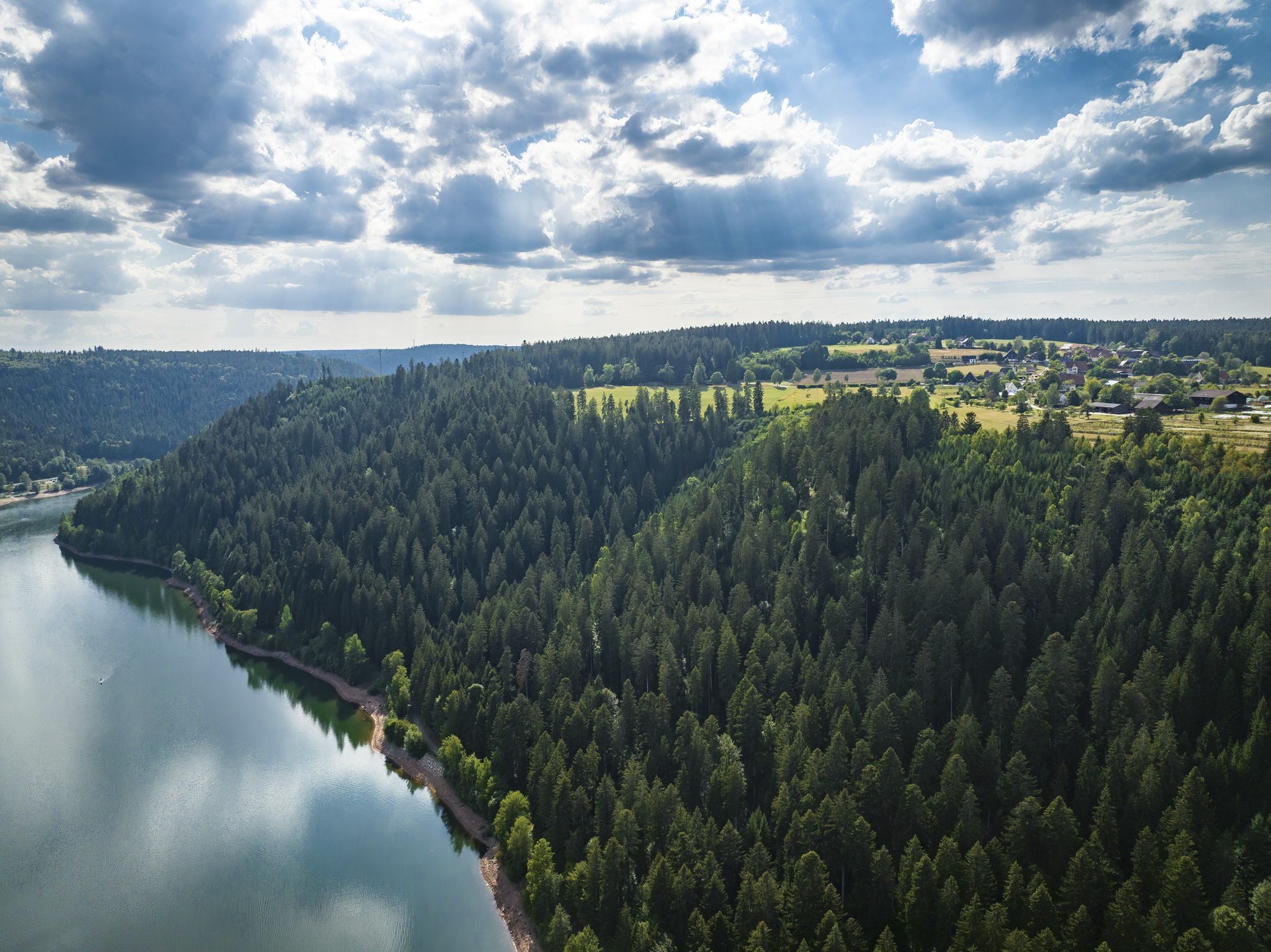
Road cycling routes around Forbach are situated at the confluence of the Black Forest and the Murg Valley, offering diverse landscapes for cyclists. The region features mountains, deep valleys, and extensive forests, with the Murg river carving through rocks. Terrain includes steep hillsides and varied elevations, providing a range of challenges for road cyclists.
Best road cycling routes around Forbach
- The most popular road cycling route is Murgtal Rock Tunnel – Murgtal Cycle Path loop from Langenbrand, a 31.0…
Last updated: September 28, 2026
4.7
(15)
133
riders
49.7km
02:10
460m
460m
Moderate road ride. Good fitness required. Mostly well-paved surfaces and easy to ride.
5.0
(3)
48
riders
82.7km
04:12
1,440m
1,440m
Hard road ride. Very good fitness required. Mostly well-paved surfaces and easy to ride.

3.8
(4)
67
riders
41.5km
02:07
700m
700m
Moderate road ride. Good fitness required. Mostly well-paved surfaces and easy to ride.
5.0
(4)
48
riders
69.8km
04:02
1,630m
1,630m
Hard road ride. Very good fitness required. Mostly well-paved surfaces and easy to ride.
5.0
(4)
43
riders
52.7km
02:39
840m
840m
Moderate road ride. Good fitness required. Mostly well-paved surfaces and easy to ride.
Get access to more routes and recommendations from other explorers.
Already have an account?
Our route recommendations are based on thousands of hikes, rides, and runs completed by other people on komoot.
Start today with a free account
Your next adventure awaits.
Popular around Forbach
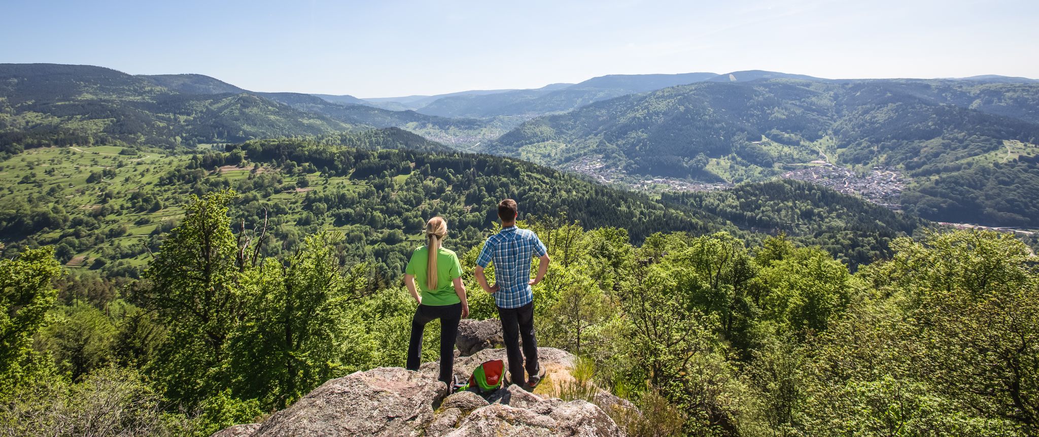
Murgleiter Trail – Experience the diverse Murg Valley in 5 stages
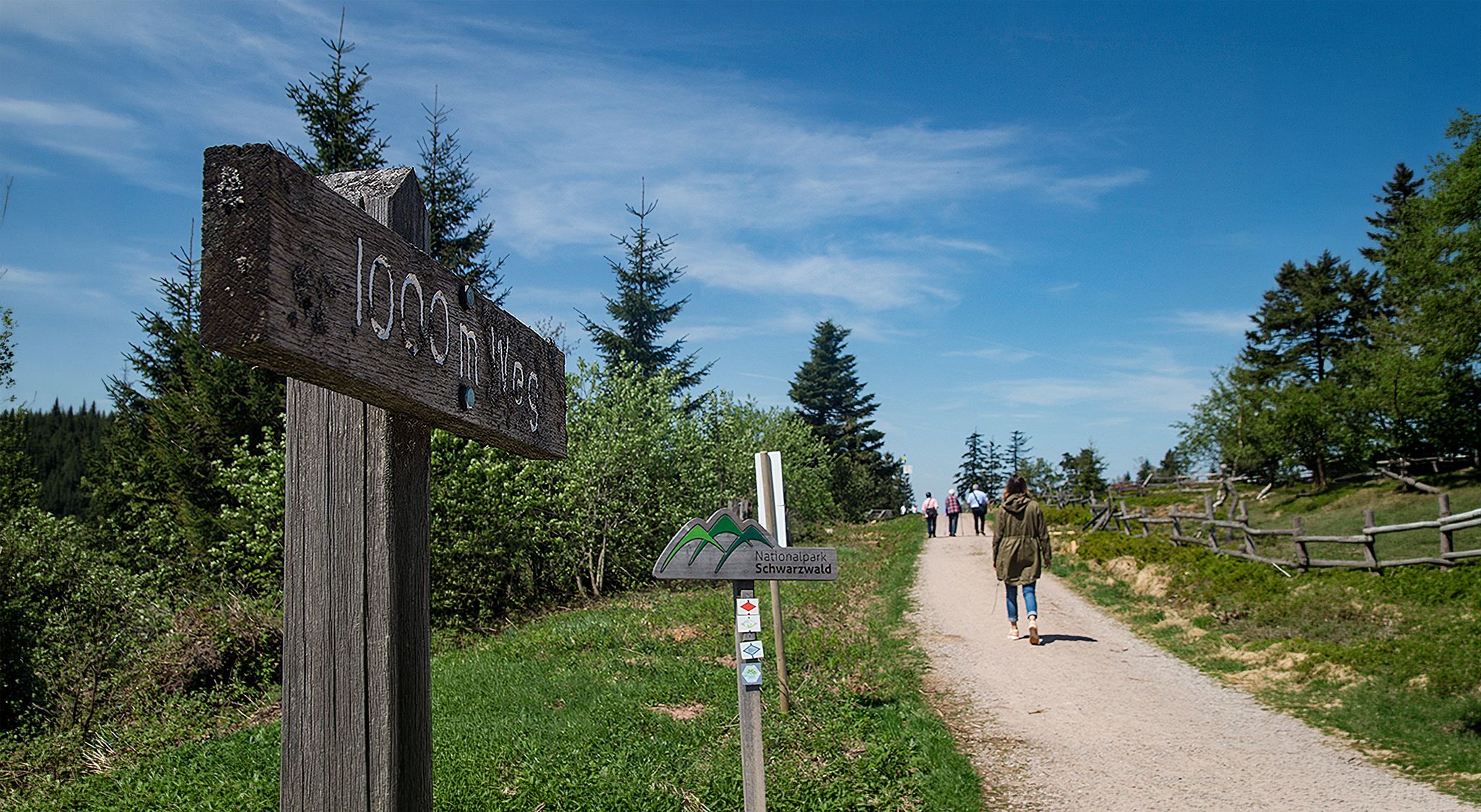
Barrier-free hikes in the Black Forest National Park

Coolcation in the Black Forest – hiking and cooling off in summer
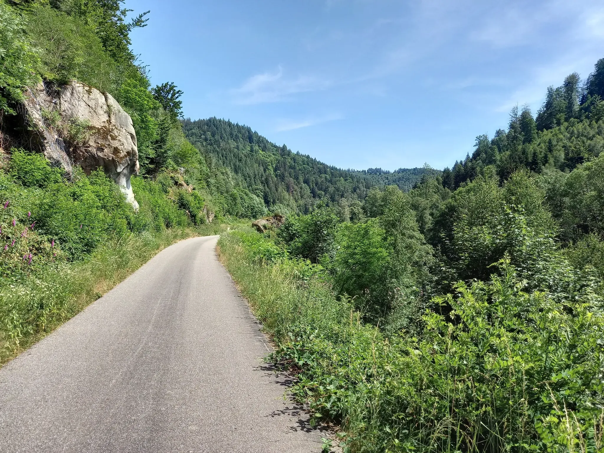
Exploring Southern Germany – Karlsruhe to Constance by bike
Deep in the Black Forest - Crossing on the Westweg
Trekking Schwarzwald 8-day tour from Forbach to Alpirsbach
Trekking Black Forest 7-day tour from Forbach to Biberach
Trekking Schwarzwald 6-day tour from Forbach to Gengenbach
Trekking Black Forest 4-day tour to camps Grimbach, Seibelseckle & Erdbeerloch
Trekking in the Black Forest 4-day tour to camps Seibelseckle, Grimbach & Schwarzenbach
Other adventures around Forbach


Tips from the Community

Great stretch through open, quite flat terrain.
0
0

The lakeside road at the Schwarzenbach reservoir is the state road L 83, which leads directly along the reservoir and connects the Murg valley with the Schwarzwaldhochstraße.
3
0
The spectacular rock formations on the Murgtalradweg are mainly located on the particularly scenically attractive section between Raumünzach and Forbach
3
0
scenically particularly attractive section of the Murgtalradweg and the Murgtal-Wanderweg in the northern Black Forest
3
0
called „Tour de Murg“) is an approx. 60 to 65 km long cycle path from the Northern Black Forest to the Rhine Valley
3
0
Currently still a construction site
3
0

The upper part, which previously had considerable damage, has now been redone. A dream.
1
0

Great trails with a view over the Rhine valley 😍
0
0
Frequently Asked Questions
What kind of terrain can I expect on road cycling routes around Forbach?
The Forbach region, situated at the confluence of the Black Forest and the Murg Valley, offers a diverse landscape for road cyclists. You'll encounter mountains, deep valleys, and extensive forests, with the Murg river carving through rocks. The terrain includes steep hillsides and varied elevations, providing a range of challenges from moderate rides to routes with significant climbs.
Are there challenging road cycling routes with significant climbs in Forbach?
Yes, Forbach is known for its challenging road cycling routes, particularly those venturing into the Black Forest. For instance, the Allerheiligenstraße – Murgtal Rock Tunnel loop from Hinterlangenbach is a difficult 83 km path featuring substantial elevation gains. Another demanding option is the Hornisgrinde Tower – View of the Rhine Plain loop from Raumünzach, which covers nearly 70 km with over 1600 meters of ascent towards the Hornisgrinde peak.
Are there any easier road cycling routes for beginners in Forbach?
While many routes offer significant climbs, there are also more moderate options. The Murgtal Rock Tunnel – Murgtal Cycle Path loop from Langenbrand is a popular moderate route, approximately 50 km long, following the scenic Murgtal Cycle Path with manageable elevation changes. This allows for a more relaxed ride while still enjoying the beautiful river views.
What scenic viewpoints can I reach by road bike in the Forbach region?
The region offers several rewarding viewpoints. The Hohloh Tower (Kaiser Wilhelm Tower) provides excellent panoramic views. The Hornisgrinde Tower, mentioned in one of the challenging routes, also offers expansive vistas of the Northern Black Forest and the Rhine Plain. These towers make for great destinations during a ride.
Are there any waterfalls or natural attractions to see along the road cycling routes?
Absolutely. The Forbach area is rich in natural beauty, including several cascading waterfalls. You can explore highlights such as the Gaishöll Waterfalls, Edelfrauengrab Waterfalls, and All Saints Waterfalls. The Geroldsauer Waterfall is also a notable natural attraction in the vicinity. These natural features add a picturesque element to your cycling experience.
What historical or cultural sights can I visit while road cycling near Forbach?
Beyond its natural landscapes, Forbach offers cultural stops. You can incorporate visits to local landmarks like the Schlossberg Park, which features a medieval tower with panoramic city views, and the Holy Cross Chapel, a 13th-century historic monument. The town also has numerous old fountains, some with sculptures, providing interesting points of interest during your ride.
Are there circular road cycling routes available around Forbach?
Yes, many of the road cycling routes around Forbach are designed as loops, allowing you to start and end at the same point. Examples include the Schwarzenbach Dam loop from Gausbach and the Murgtal Rock Tunnel – Langenbacher Steige loop from Forbach (Schwarzwald). These circular routes make planning your ride convenient.
Is it possible to access road cycling routes in Forbach using public transport?
Forbach is well-situated for public transport access, particularly as it lies approximately midway along the Tour de Murg Cycle Path. This suggests good connectivity, making it feasible to reach starting points for various road cycling routes via public transport options that serve the Murg Valley.
What do other road cyclists enjoy most about road cycling in Forbach?
The road cycling routes around Forbach are highly rated by the komoot community, with an average score of 4.9 stars from over 20 reviews. Cyclists frequently praise the diverse landscapes, ranging from the Black Forest mountains to the Murg Valley, and the variety of routes that cater to different ability levels, from moderate rides to challenging climbs.
Are there any specific cycle paths or routes that are particularly scenic in the Forbach area?
The Tour de Murg Cycle Path, which runs through Forbach, is highlighted as a particularly beautiful route, offering picturesque views along the Murg river. Additionally, scenic rides through the Warndt region and loops around the Schwarzenbach Dam are popular for their natural beauty and varied landscapes.
What is the best time of year for road cycling in Forbach?
The region's diverse landscapes, including mountains and valleys, suggest that spring through autumn would generally be the most favorable seasons for road cycling. During these months, the weather is typically milder, and the natural scenery of the Black Forest and Murg Valley is at its most vibrant. Winter conditions may present challenges due to snow or ice at higher elevations.
Most popular routes around Forbach
Most popular attractions around Forbach

Get inspired with the komoot mobile app


Explore more
Browse the best Road cycling routes in other regions.
