The best running trails around Upchurch
4.5
(37)
4,596
runners
15
runs
Jogging around Upchurch offers a variety of routes through its gentle landscapes. The region is characterized by rural paths, often skirting alongside water bodies and through open countryside. Elevation changes are generally modest, making it suitable for various fitness levels. These running routes in Upchurch provide opportunities to explore the local environment at a comfortable pace.
Best jogging routes around Upchurch
- The most popular jogging route is Horrid Hill – Horrid Hill loop from Rainham, a 5.6 miles (9.0…
Last updated: May 27, 2026
43
runners
14.8km
01:33
40m
40m
Moderate run. Good fitness required. Mostly paved surfaces. Suitable for all skill levels.
5.0
(1)
6
runners
7.46km
00:49
30m
30m
Moderate run. Good fitness required. Mostly paved surfaces. Suitable for all skill levels.

Sign up for free
5
runners
7.55km
00:47
70m
80m
Moderate run. Good fitness required. Mostly paved surfaces. Suitable for all skill levels.
4
runners
13.0km
01:22
140m
140m
Moderate run. Good fitness required. Mostly paved surfaces. Suitable for all skill levels.
5
runners
13.6km
01:25
100m
100m
Moderate run. Good fitness required. Mostly paved surfaces. Suitable for all skill levels.
Get access to more routes and recommendations from other explorers.
Sign up for free
Already have an account?
Our route recommendations are based on thousands of hikes, rides, and runs completed by other people on komoot.
Start today with a free account
Your next adventure awaits.
Login or Signup
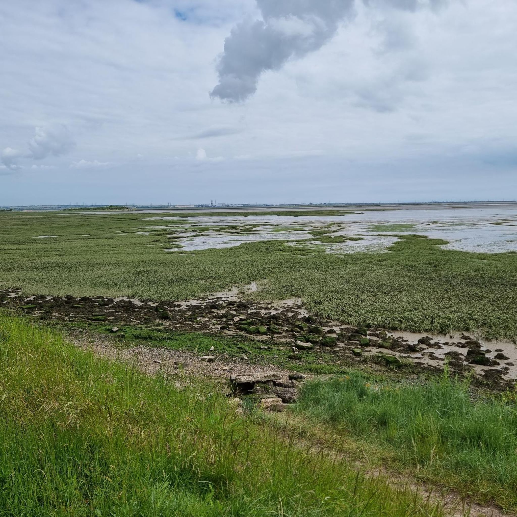

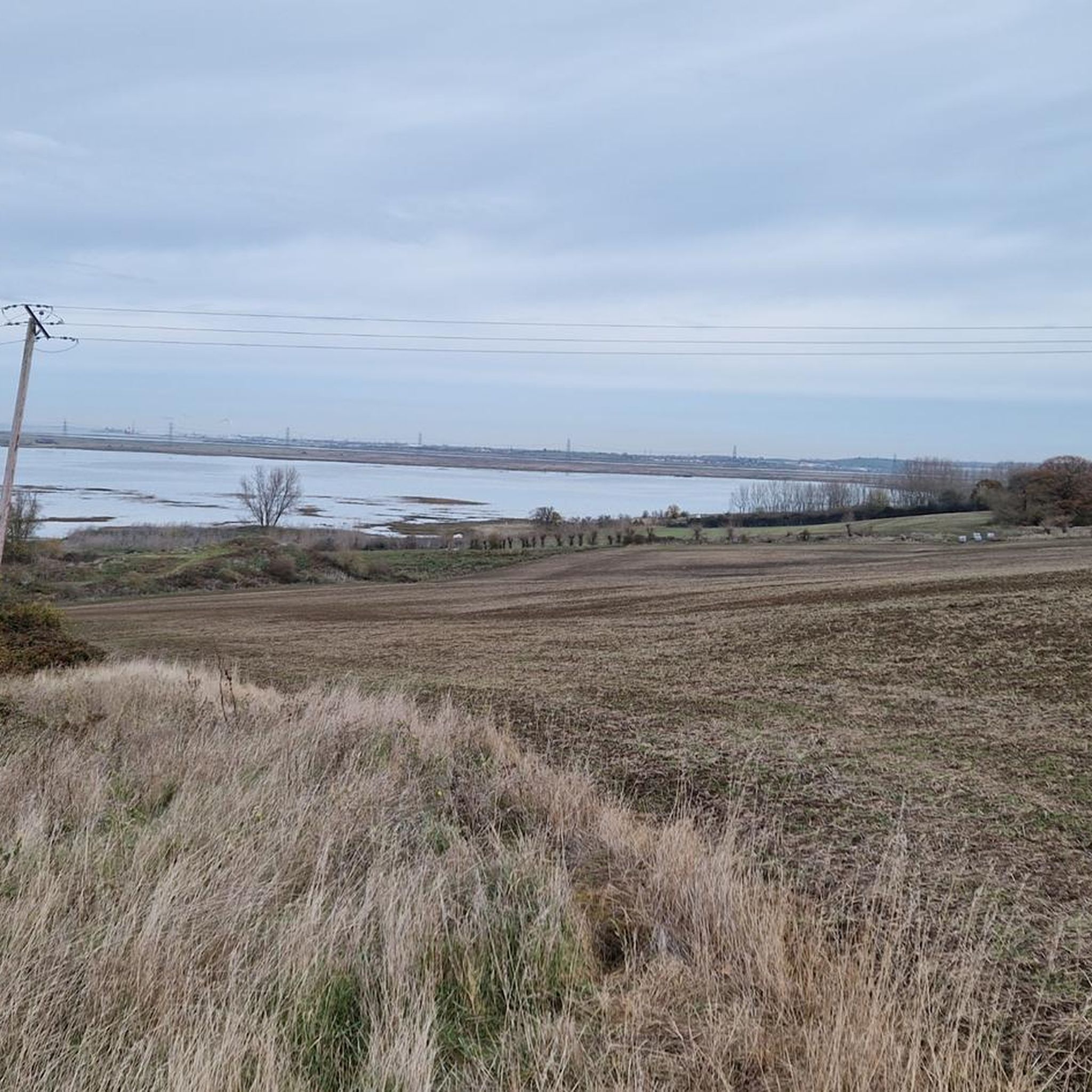
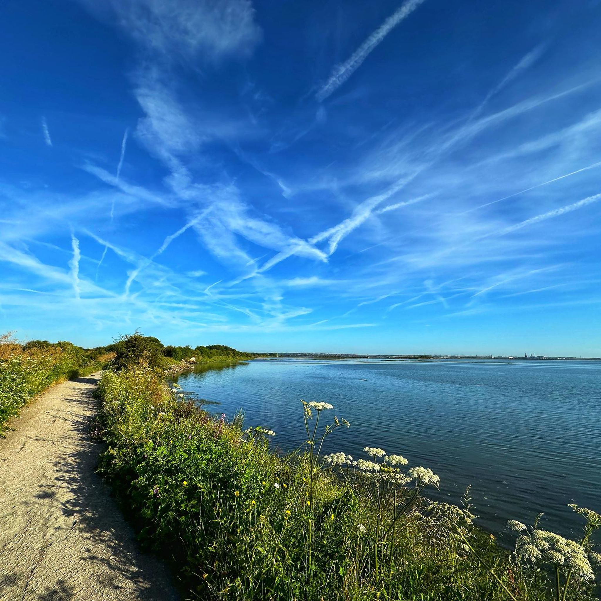
Tips from the Community


Just up from the path, has an old sign next to it.
0
0

There's a nice stretch here that helps you avoid walking up Hollow Lane and puts you right opposite the church
1
0

St Margaret of Antioch is an 11th-century village church, situated on the banks of the river Medway. The church has an ancient font and has been in use for over 8oo years. Some wall paintings and other item of historical significance. A history of the village and church is available in the church.
0
0
Walking along the natural coast a man-made wharf appears from the middle of nowhere. After researching it used to be a scrap metal/ ship breakers yard. Amazing all these weird and wonderful businesses existed on along this waterway.
0
0

Part of Riverside Country Park, Horrid Hill was originally an island. It is now joined to the mainland by a causeway.
0
0

despite the name it's worth a visit, with footpaths through and around this strip of land, and panoramic views available. plenty of spots for a picnic.
1
0

Frequently Asked Questions
How many running routes are available in Upchurch?
There are over 450 running routes around Upchurch listed on komoot, offering a wide variety of options for all abilities.
What kind of terrain can I expect on the jogging trails around Upchurch?
The jogging routes in Upchurch are characterized by gentle landscapes, primarily featuring rural paths, open countryside, and trails that often skirt alongside water bodies. Elevation changes are generally modest, making most routes accessible.
Are there running routes suitable for beginners or those looking for an easy jog?
Yes, Upchurch offers a good selection of easier running routes. There are 47 routes classified as easy, and many of the 324 moderate routes also feature gentle terrain suitable for a comfortable jog. The overall modest elevation changes in the region make it beginner-friendly.
Are there any challenging long-distance running trails in Upchurch?
For those seeking a challenge, Upchurch has 80 difficult running routes. One notable long-distance option is the Blue Crane, Chatham Dockyard – Riverside Country Park loop from Rainham, which is a difficult 14.9-mile (24.1 km) path offering scenic views through Riverside Country Park.
What do other runners enjoy most about jogging in Upchurch?
The running routes in Upchurch are highly rated by the komoot community, with an average score of 4.5 stars from over 35 reviews. Runners often praise the varied terrain, from rural paths to riverside trails, and the opportunities to explore the local environment at a comfortable pace.
Are there any circular running routes in Upchurch?
Yes, many of the running routes in Upchurch are circular, allowing you to start and end your run in the same location. Examples include the popular Horrid Hill – Horrid Hill loop from Rainham and the Sharp's Green Pond loop from Rainham.
Can I find running routes that pass by water bodies?
Absolutely. The region's jogging routes often skirt alongside water bodies. For instance, the Horrid Hill – Horrid Hill loop from Rainham features gentle terrain near the water, and the Sharp's Green Pond loop from Rainham leads past Sharp's Green Pond.
Are there any interesting landmarks or attractions to see along the running routes?
While running, you might encounter various points of interest. The wider area around Upchurch features several historical sites and natural monuments. You could explore highlights like Rochester Castle or the Cooling Castle Gatehouse. For natural sights, consider the Hucking Woodland Trust Entrance and Sunset Tree or the Westfield Wood Nature Reserve.
Are there any scenic running routes with viewpoints in Upchurch?
While specific viewpoints directly on the routes are not detailed, the Blue Crane, Chatham Dockyard – Riverside Country Park loop from Rainham offers scenic views through Riverside Country Park. Additionally, the broader region includes highlights like the View of the Medway Valley from Blue Bell Hill, which might be accessible from some trails.
What is the average distance and duration for running routes in Upchurch?
The routes vary significantly, but popular options like the Horrid Hill – Horrid Hill loop from Rainham are around 5.6 miles (9.0 km) and take about 55 minutes. Longer routes, such as the Blue Crane, Chatham Dockyard – Riverside Country Park loop from Rainham, can be up to 14.9 miles (24.1 km) and take over 1 hour 30 minutes.
Are there running routes that pass through open countryside?
Yes, many of the running routes in Upchurch traverse open countryside, providing a sense of space and natural beauty. The Sharp's Green Pond loop from Rainham, for example, leads through rural landscapes.
Most popular attractions around Upchurch

Get inspired with the komoot mobile app


Explore more
Browse the best Running Trails & Routes in other regions.
