Thurcaston And Cropston
Thurcaston And Cropston
The best road cycling routes around Thurcaston And Cropston
4.6
(228)
11,776
riders
719
rides
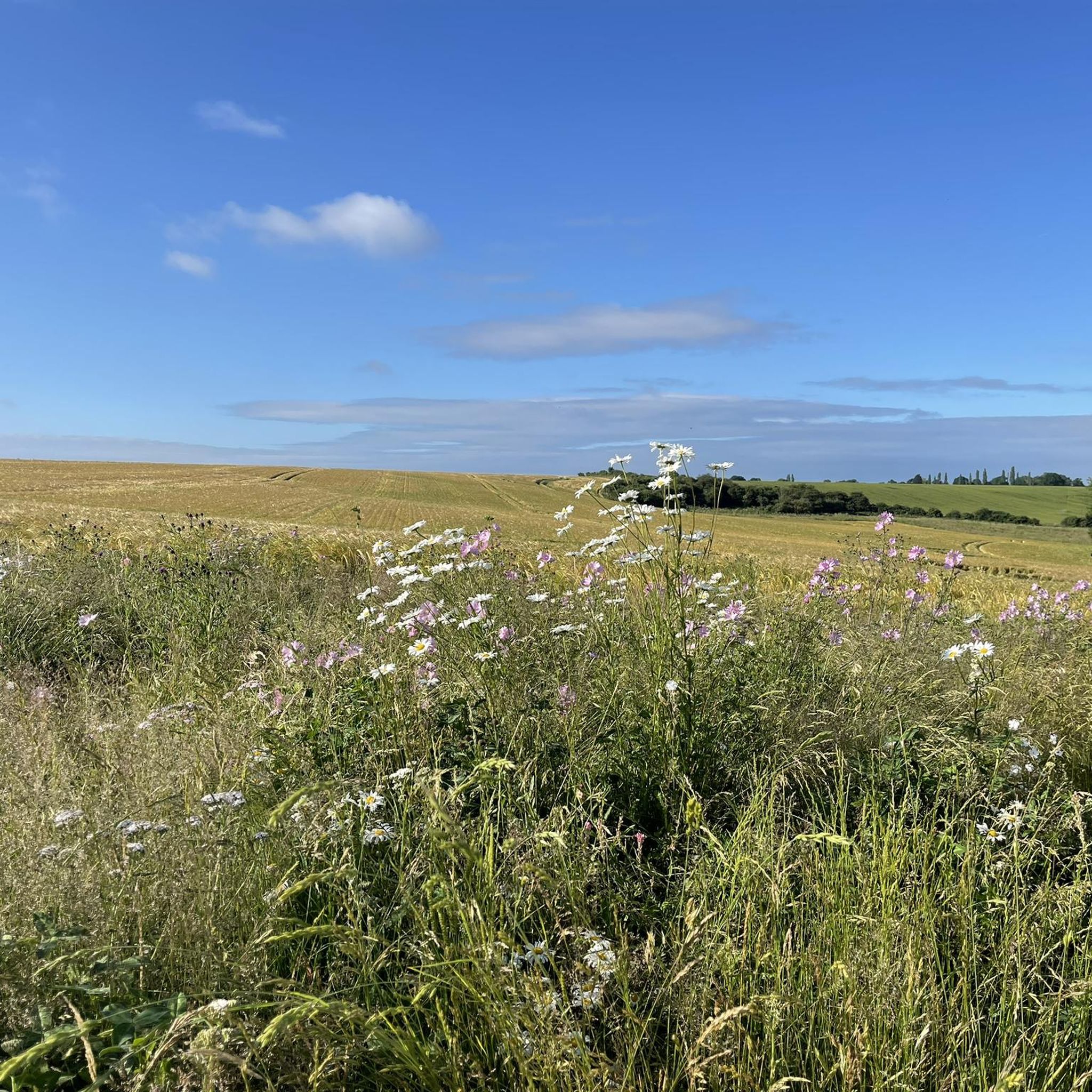
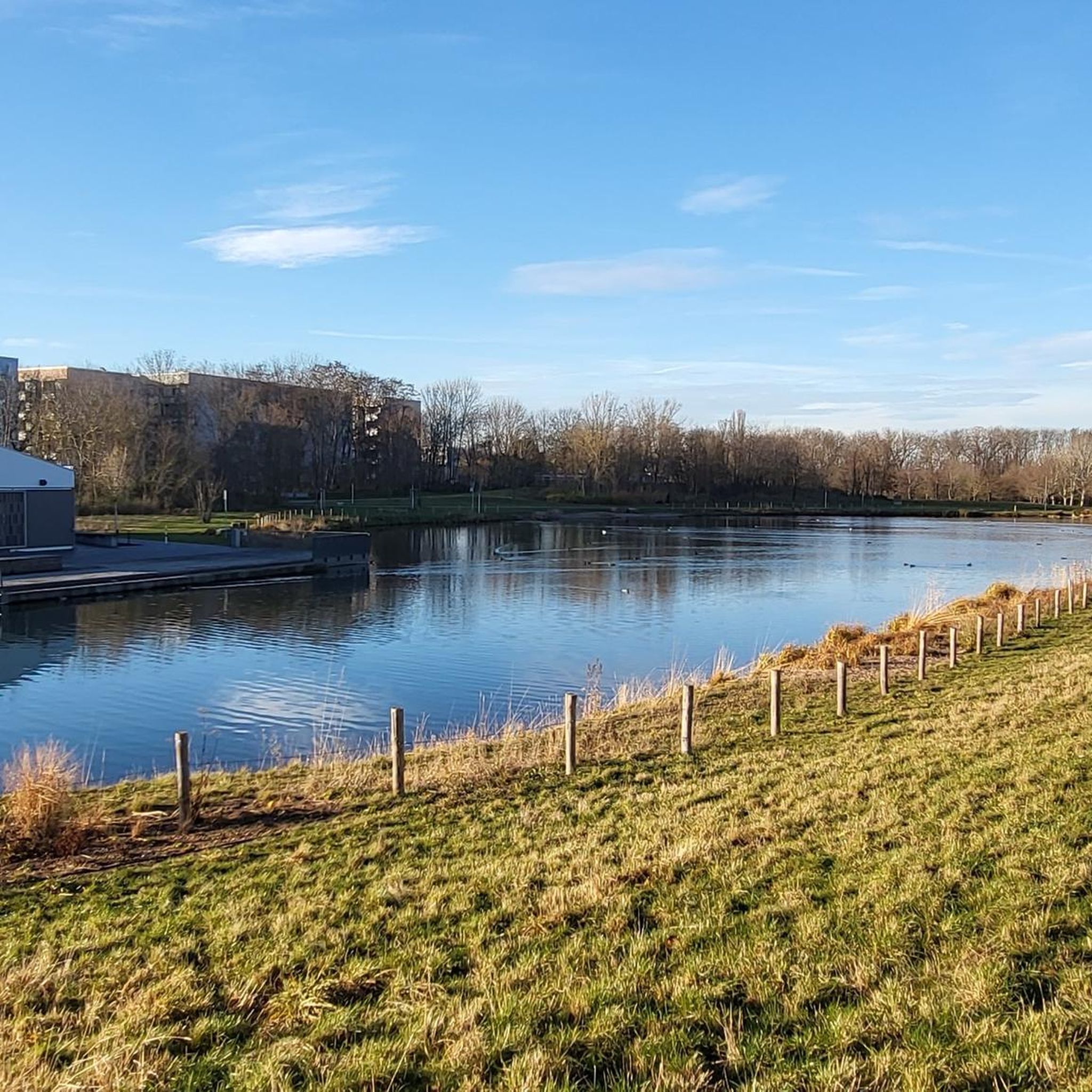
Road cycling routes around Thurcaston And Cropston traverse the gently rolling landscapes of Leicestershire, featuring a mix of quiet rural roads and routes around local reservoirs. The area is characterized by open countryside, agricultural land, and small villages, with moderate elevation changes suitable for various fitness levels. Cyclists can expect to encounter scenic views of the Cropston Reservoir and the surrounding pastoral scenery.
Best road cycling routes around Thurcaston And Cropston
- The most popular road cycling route is View of Cropston Reservoir – Rothley Railway Station loop from Leicestershire, a 29.4 miles (47.3 km) trail that takes 2 hours 6 minutes to complete. This route offers views of Cropston Reservoir and passes by Rothley Railway Station.
- Another top favourite among local road cyclists is Quiet Road to Wymeswold – Barrow Bridge loop from Rothley, an easy 26.3 miles (42.4 km) path. This route features quiet roads through the countryside towards Wymeswold and Barrow Bridge.
- Local road cyclists also love the Rothley Railway Station – Rural Road Near Gaddesby loop from Leicestershire, a 25.6 miles (41.3 km) trail leading through rural roads near Gaddesby, often completed in about 1 hour 56 minutes.
- Road cycling around Thurcaston And Cropston is defined by quiet rural roads, reservoir views, and gentle rolling terrain. The network offers options for different ability levels, from easy loops to more moderate distances.
- The routes in Thurcaston And Cropston are highly rated by the komoot community with an average score of 4.6 stars from over 180 reviews. More than 9,000 road cyclists have used komoot to explore Thurcaston And Cropston's varied terrain.
Last updated: June 26, 2026
5.0
(1)
33
riders
Easy road ride. Great for any fitness level. Mostly well-paved surfaces and easy to ride.
3.0
(2)
30
riders
27.1km
01:10
80m
80m
Easy road ride. Great for any fitness level. Mostly well-paved surfaces and easy to ride.

Sign up for free
26
riders
36.7km
01:36
230m
230m
Easy road ride. Great for any fitness level. Mostly well-paved surfaces and easy to ride.
24
riders
19.4km
00:51
180m
180m
Easy road ride. Great for any fitness level. Mostly well-paved surfaces and easy to ride.
5.0
(1)
17
riders
Easy road ride. Great for any fitness level. Mostly well-paved surfaces and easy to ride.
Get access to more routes and recommendations from other explorers.
Sign up for free
Already have an account?
Our route recommendations are based on thousands of hikes, rides, and runs completed by other people on komoot.
Start today with a free account
Your next adventure awaits.
Login or Signup
Tips from the Community


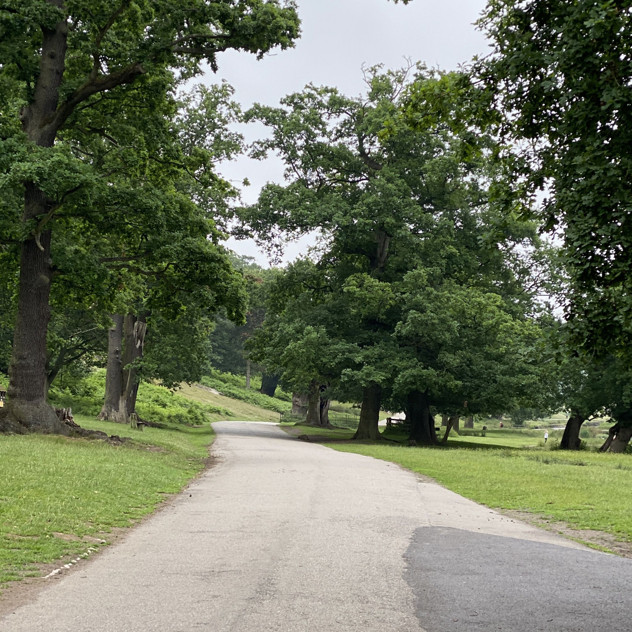
Cycling is only permitted on the one route through the park, which gets busy with walkers, take it slow in the park. Cafe and toilets in the middle.
2
0

In September 1867, 180 acres of land was purchased for a cost of £24,000. Most of the land required for the reservoir, dam and waterworks belonged to the Bradgate Estate. Lord Stamford insisted that a stone wall be built around the boundary to separate the deer park from the reservoir, instead of the proposed iron railings. This wall, 1,500 yards long was eventually built at a cost of 8s 10d per yard. Joseph Reeves, Head Gamekeeper, outside his house. Some of the Bradgate Estate land was part of the deer park, but most was farmland let out on very long leases. One farmer, Joseph Allen, lost virtually all his farm. Two members of the Matts family had theirs considerably reduced in size. The Gamekeeper’s house and land, together with a nearby bridge, were also in the area to be flooded. The house, together with its stables and outhouses, were demolished and the bricks sold. Part of the footpath between Anstey and Hallgates was submerged, as was the site of the old rabbit warren (or conery).
3
0
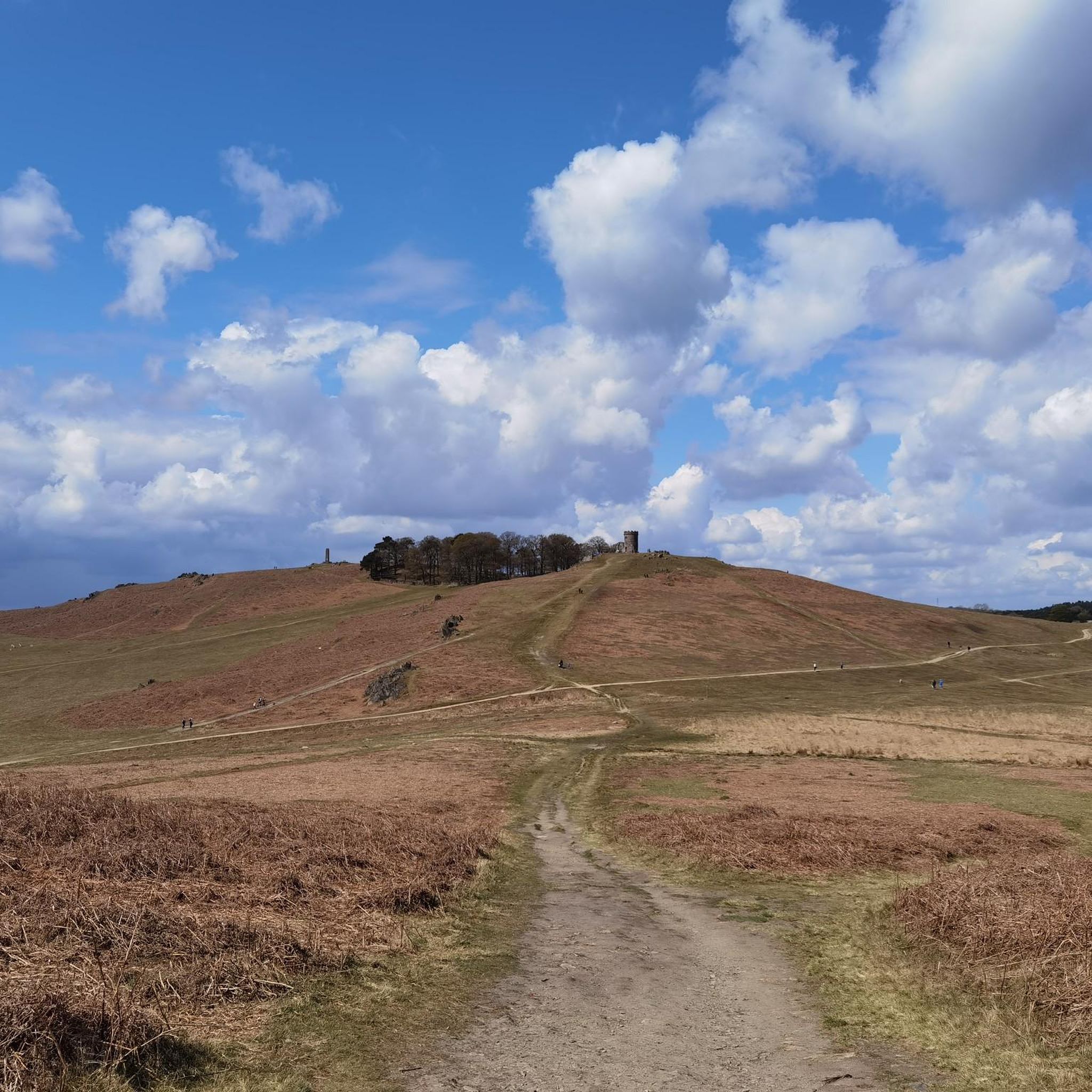
Bradgate Park was first enclosed as a deer park (for hunting) in the 12th Century. Herds of Red and Fallow Deer still roam freely across the Park's 800 acres today.The Park is designated as a Site of Special Scientific Interest for its importance as a wildlife habitat and its geological interest - the 600 million year old Precambrian rocks here are some of the oldest in England. Bradgate House, built around the year 1500, was one of the first unfortified, brick-built country houses in the country and was the childhood home of Lady Jane Grey and played an important role in the English Civil War. Abandoned in the 18th Century, the house is now an evocative ruin set in a landscape that has changed little since the house's heyday.
4
0


Managed a very enjoyable ride through Switland Woods on my Rd Bike. But more suited to MBs
0
0

Just a small diversion from the delightful but popular (ie busy) drive running along the south side of Bradgate Park.
0
0

The Old Post Office Tearooms, is next to the entrance to Bradgate Park, the start and end point of the Leicestershire Round long distance walking route. Once the Village Shop, Café, and Post Office, it transformed into a family-run tearoom offering breakfast, brunch, lunch, and handmade cakes. It’s an excellent way to mark the end of the Leicestershire Round, but bear in mind it closes at 4pm. Dogs are very welcome, and there is outside seating. There’s also a takeout counter should you wish to start your walk with a coffee in hand!
0
0
Frequently Asked Questions
How many road cycling routes are available around Thurcaston And Cropston?
There are over 740 road cycling routes available around Thurcaston And Cropston, offering a wide range of options for different skill levels. You can find routes traversing the gently rolling landscapes of Leicestershire, featuring quiet rural roads and scenic reservoir views.
Are there easy road cycling routes suitable for beginners in the area?
Yes, Thurcaston And Cropston offers over 200 easy road cycling routes. A good option for beginners is the Quiet Road to Wymeswold – Barrow Bridge loop from Rothley, which is 26.3 miles (42.4 km) long and features quiet roads through the countryside. Another accessible route is the Roadbike loop from Birstall, a 17.7-mile (28.5 km) ride with minimal elevation.
What kind of scenery can I expect on road cycling routes in Thurcaston And Cropston?
The routes in Thurcaston And Cropston are characterized by open countryside, agricultural land, and small villages. Cyclists can enjoy scenic views of the Cropston Reservoir and the surrounding pastoral scenery. Many routes also pass by historical sites and natural landmarks.
Are there any circular road cycling routes around Thurcaston And Cropston?
Yes, many of the road cycling routes in the area are circular, allowing you to start and end at the same point. For example, the popular View of Cropston Reservoir – Rothley Railway Station loop from Leicestershire is a 29.4-mile (47.3 km) circular route offering diverse scenery.
What are some notable landmarks or attractions I can see along the road cycling routes?
Along the routes, you can encounter several interesting landmarks. The View of Cropston Reservoir – Rothley Railway Station loop from Leicestershire passes by Rothley Railway Station. Other nearby attractions include the Old John Tower and the Ruins of Bradgate House within Bradgate Park, and the scenic Swithland Reservoir.
What do other road cyclists enjoy most about cycling in Thurcaston And Cropston?
The area is highly rated by the komoot community, with an average score of 4.6 stars from over 180 reviews. Reviewers often praise the quiet rural roads, the beautiful reservoir views, and the gentle rolling terrain that makes the routes enjoyable for various ability levels.
Are there family-friendly road cycling options in Thurcaston And Cropston?
While specific 'family-friendly' designations aren't always given for road cycling, the numerous easy routes with moderate elevation changes are generally suitable for families with older children or those comfortable with road cycling. Routes like the Stone Bridge in Abbey Park – Great Central Way loop from Birstall, at 16.7 miles (26.9 km) with minimal elevation, could be a good option.
When is the best time of year for road cycling in Thurcaston And Cropston?
The gently rolling landscapes of Thurcaston And Cropston are enjoyable for road cycling throughout much of the year. Spring and summer offer pleasant weather and lush scenery, while autumn provides beautiful colors. Winter cycling is also possible, though conditions may vary, and routes might be quieter.
Are there options for cafes or pubs along the road cycling routes?
Many routes in Thurcaston And Cropston pass through or near small villages, which often have local cafes or traditional pubs where cyclists can stop for refreshments. While not explicitly listed for every route, the presence of villages like Rothley and Wymeswold suggests opportunities for breaks.
What is the typical difficulty level of road cycling routes in this region?
The road cycling routes around Thurcaston And Cropston offer a mix of difficulties. There are over 200 easy routes, more than 500 moderate routes, and a smaller number of more challenging options. The area's moderate elevation changes make it accessible for various fitness levels, from casual riders to more experienced cyclists.
Can I find routes that offer scenic viewpoints?
Absolutely. The region is known for its scenic beauty, particularly around the reservoirs. Routes often provide views of Cropston Reservoir. Additionally, nearby highlights like Swithland Reservoir and Beacon Hill Summit offer elevated perspectives of the Leicestershire countryside.
Most popular routes around Thurcaston And Cropston
Most popular attractions around Thurcaston And Cropston

Get inspired with the komoot mobile app


Explore more
Browse the best Road cycling routes in other regions.
