The best road cycling routes around Laterns
4.5
(605)
13,881
riders
117
rides
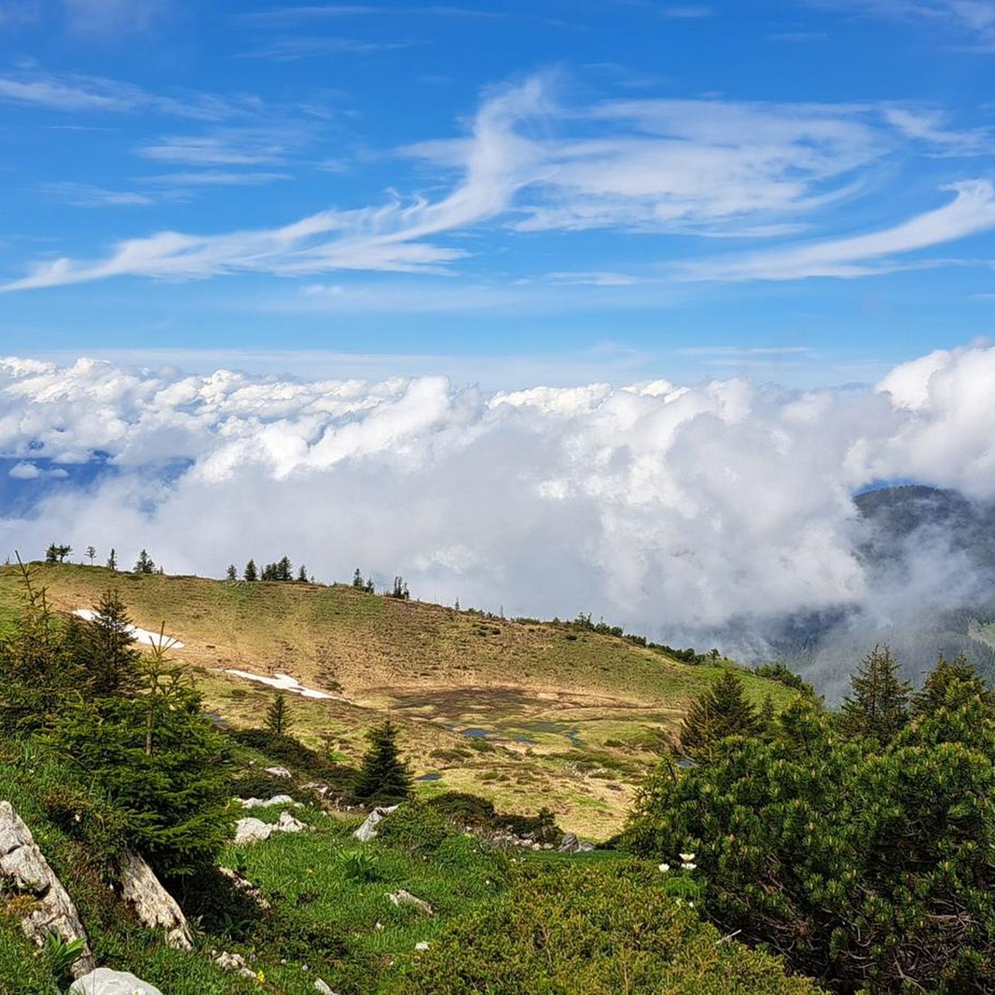
Road cycling routes around Laterns are set within a mountainous environment in the district of Feldkirch, Austria. The region features varied topography, offering diverse terrain for road cyclists. This alpine setting provides a backdrop for routes that range from flat valley paths to challenging ascents. The area is characterized by its natural features, making it suitable for different fitness levels.
Best road cycling routes around Laterns
- The most popular road cycling route is New Rhine bridge near Fussach – Rhein…
Last updated: August 24, 2026
4.7
(45)
750
riders
66.8km
02:35
110m
110m
Moderate road ride. Good fitness required. Some segments of this route may be unpaved and difficult to ride.
4.5
(8)
211
riders
49.3km
02:32
820m
820m
Moderate road ride. Good fitness required. Some segments of this route may be unpaved and difficult to ride.

Sign up for free
5.0
(2)
111
riders
21.6km
00:52
100m
100m
Easy road ride. Great for any fitness level. Mostly well-paved surfaces and easy to ride.
5.0
(6)
68
riders
47.6km
03:11
1,560m
1,560m
Hard road ride. Very good fitness required. Mostly well-paved surfaces and easy to ride.
58
riders
26.7km
01:25
520m
520m
Moderate road ride. Good fitness required. Mostly well-paved surfaces and easy to ride.
Get access to more routes and recommendations from other explorers.
Sign up for free
Already have an account?
Our route recommendations are based on thousands of hikes, rides, and runs completed by other people on komoot.
Start today with a free account
Your next adventure awaits.
Login or Signup
Popular around Laterns

Min Weag long-distance hiking trail – From Lake Constance to the Alps

Magnificent mountain biking on Austria's alpine pastures
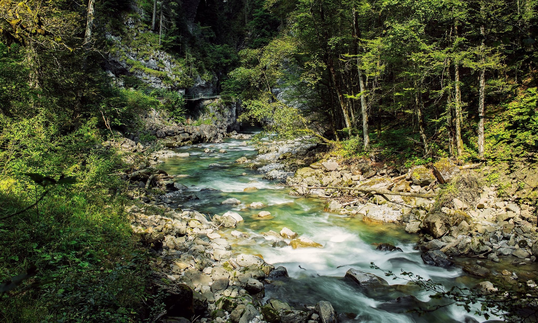
Refreshing cool downs – gorge hikes in Vorarlberg
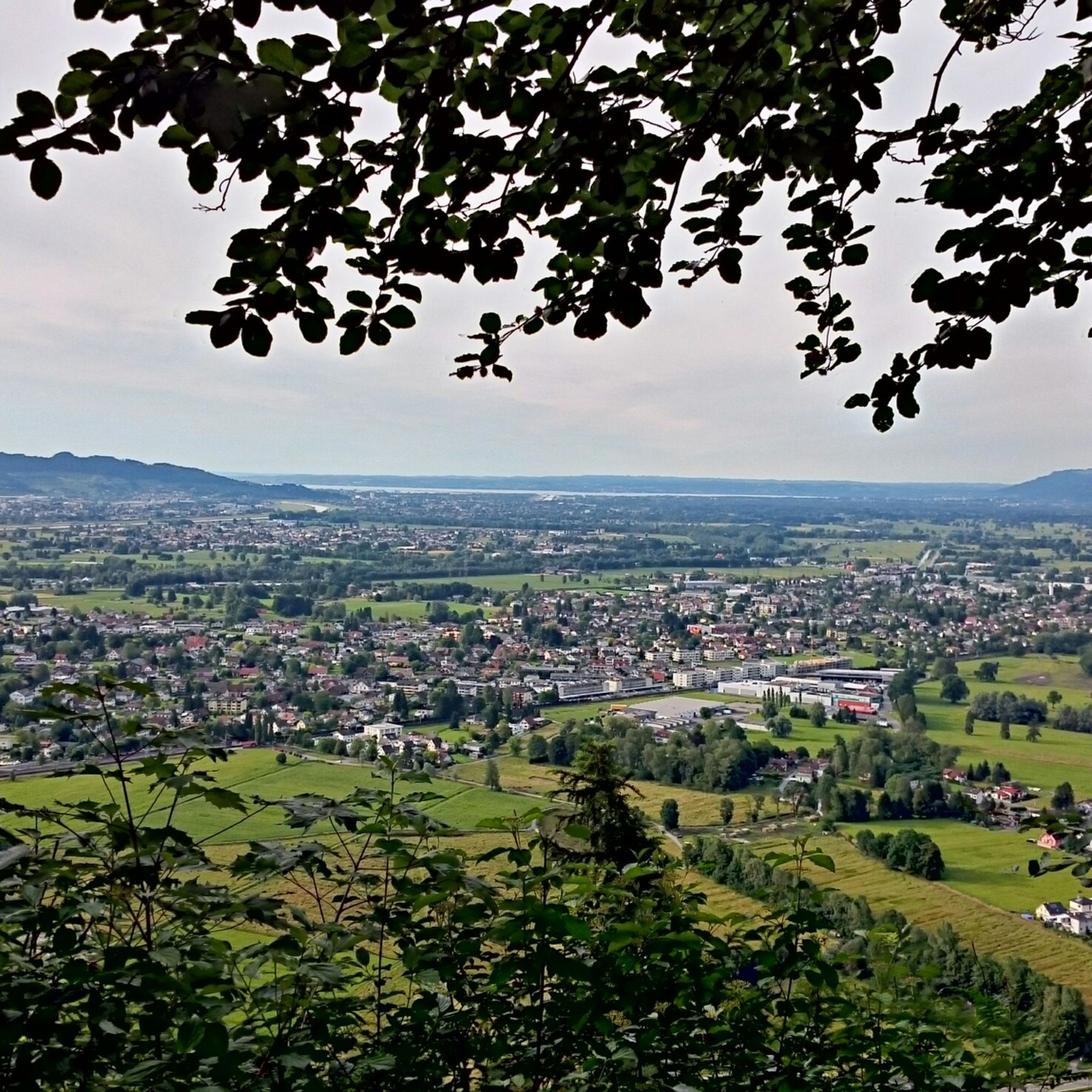
Hiking around Laterns

Gravel biking around Laterns

Mountain Hikes around Laterns
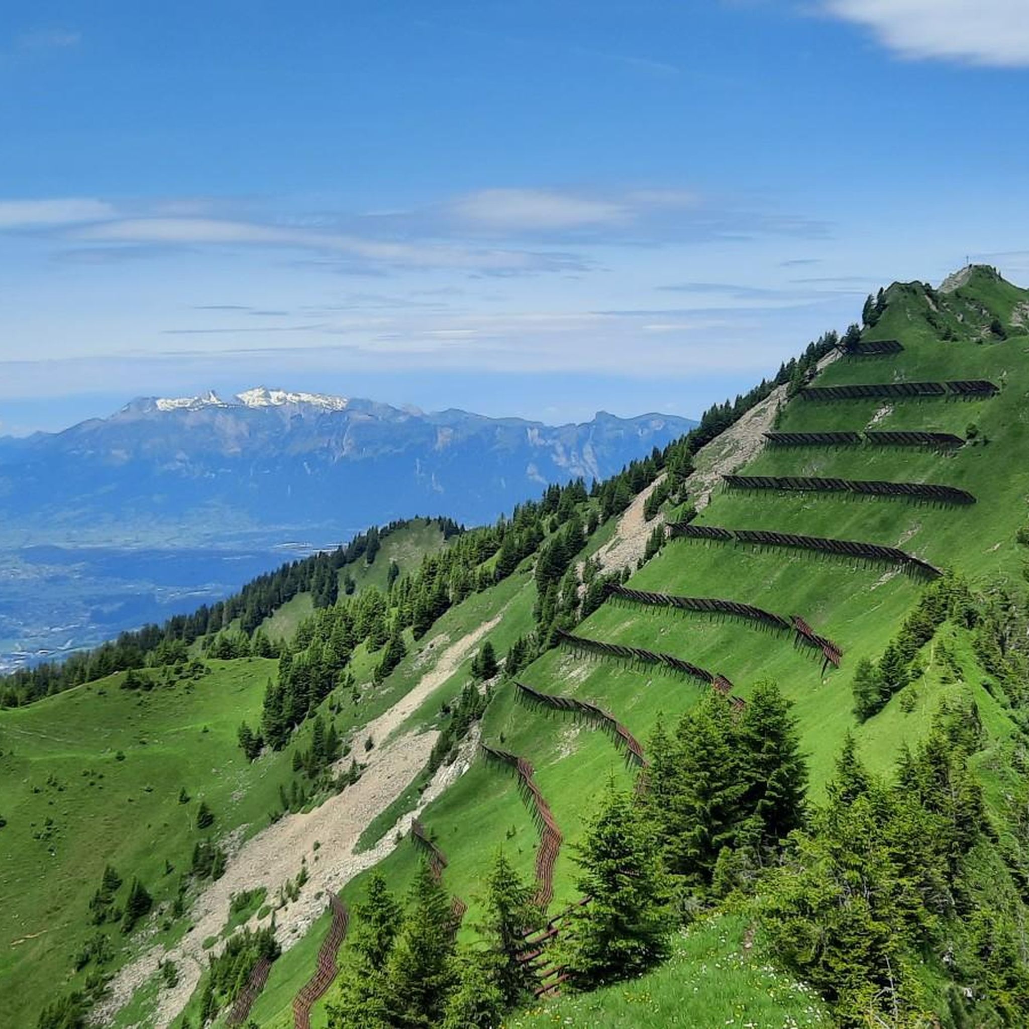
MTB Trails around Laterns
Cycling around Laterns
Running Trails around Laterns
Other adventures around Laterns


Tips from the Community

Great bridge with plenty of space for cyclists!
0
0

Parish Church of St. John the Baptist, Schnifis The history of the Schnifis church is shaped by significant historical events and restorations. The parish church was redesigned in 1972/73 according to plans by the Feldkirch architect Hugo Purtscher. Notable elements include the wooden busts of Joseph, Jesus, Mary, and Mary Magdalene, the large rectangular windows in the vestibule, and the view of the mountains. The church also houses a Gothic baptismal font and four silver-plated wooden busts from the 18th century. Text / Source: Schnifis Municipal Office, Jagdbergstraße 200, Schnifis https://www.schnifis.at/Leben_in_Schnifis/Historisches/Pfarrkirche_Schnifis
14
0
Church, St. Apostle Andrew, Thüringerberg The church was built in the years 1782 and 1783 due to lack of space, but the consecration did not take place until 1790. In 1786, Thüringerberg finally got its own pastor and the curacy was elevated to an independent parish in 1835. In 1864, the church received three new altars, which were replaced by a people's altar in 1960. The current altar has been in the church since 1990. The first organ was in 1805 and a new one was bought in 1860. Since 1994, the parish church has had a new organ again, which was largely financed by six organ godmothers. As the church was too small from the very beginning, it was enlarged in 1894. In 1959/60, the church was extended again and also modernized. The last renovation took place in 1989/90. Text / Source: Großes Walsertal Tourismus, Rathausgasse 5, Bludenz https://www.vorarlberg-alpenregion.at/walsertal/de/pfarrkirche-hl-apostel-andreas_vc3870
14
0

The Dornbirner Ach (also known as Dornbirnerach or Dornbirner Ache), along with the more northerly Bregenzer Ach, is one of the most important outflows for the smaller streams of the western Bregenzerwald Mountains and the lower Rhine Valley in the Austrian state of Vorarlberg. Until the Rhine was regulated, the Dornbirner Ach flowed into Lake Constance near Fußach. Today, the approximately 30-kilometer-long river flows east of and parallel to the Rhine near Hard into Lake Constance, crossing the municipal area of the city of Dornbirn. This large bridge is also accessible by car, and the cycle path and pedestrian path are separated from it.
1
0

Very pleasant cycling on smooth asphalt, slightly elevated with views parallel to the Dornbirner Ache.
1
0
A magnificent, modern bridge between Hard and Fussach (completed in 2023) that provides a very comfortable, wide pedestrian and bicycle path to the Rhine crossing. Protected from car and bus traffic, several people can pass each other comfortably, whether by bike or on foot. Truly a wonderful thing!
4
0

Excellent alternative to avoid the tunnel, all asphalted.
2
0

Perfect drinking water, fill up your water bottle and off we go
0
0
Frequently Asked Questions
How many road cycling routes are available around Laterns?
There are over 120 road cycling routes around Laterns, offering a wide range of options for different skill levels. You'll find 25 easy routes, 71 moderate routes, and 28 difficult routes to explore.
What kind of terrain can I expect when road cycling in Laterns?
Laterns offers a varied topography, from flat valley paths to challenging ascents through its mountainous environment. The region's alpine setting provides a diverse backdrop for rides, catering to both leisurely valley tours and demanding climbs.
Are there any easy road cycling routes suitable for beginners in Laterns?
Yes, Laterns offers several easy road cycling routes. An example is the Lutz near Ludesch – Ill River near Nüziders loop from Bludesch, a 21.4 km trail with minimal elevation gain, often completed in under an hour.
What are some challenging road cycling routes for experienced riders in Laterns?
For experienced riders seeking a challenge, the Damüls – Faschinajoch Pass (1,486 m) loop from Damüls is a demanding option. This 47 km route features over 1500 meters of elevation gain, providing a significant test of endurance.
What do other cyclists say about road cycling in Laterns?
The road cycling routes in Laterns are highly rated by the komoot community, with an average score of 4.5 stars from over 500 reviews. More than 14,000 road cyclists have used komoot to explore the varied terrain, often praising the stunning natural beauty and diverse options.
Are there any notable landmarks or natural attractions along the road cycling routes in Laterns?
Yes, the region around Laterns is rich in natural beauty. You can find impressive natural monuments like the Alploch Gorge and the Rappenloch Gorge. For panoramic views, consider routes that pass near the Karren Viewing Platform or the Hohe Kugel summit.
Can I find mountain passes to cycle over in the Laterns region?
Absolutely. The mountainous environment of Laterns includes several passes that are popular with cyclists. Notable passes in the vicinity include the Tiefensee Saddle, Hählesattel, and Sünser Pass, offering challenging climbs and rewarding descents.
Are there any family-friendly road cycling options in Laterns?
While specific family-friendly road cycling routes are not detailed, the region is known for its welcoming environment for visitors of all ages. Routes with minimal elevation gain, such as those along valley paths, would be most suitable for families. The general description of Laterns as a family-friendly area suggests that easier, less technical routes can be found.
What is the best time of year for road cycling in Laterns?
Given Laterns' mountainous and alpine setting, the best time for road cycling is typically during the warmer months, from late spring through early autumn. This period offers more favorable weather conditions and ensures that higher elevation passes are clear of snow, providing access to the full range of routes.
Are there any loop routes available for road cycling in Laterns?
Yes, many road cycling routes in Laterns are designed as loops, allowing you to start and end in the same location. For example, the Black Lake – Church of Thūringerberg loop from Rankweil is a popular moderate option, and the New Rhine bridge near Fussach – Rhein Bridge near St. Gallen loop from Rankweil offers a longer, flatter experience.
Where can I find parking for road cycling in Laterns?
While specific parking locations for cyclists are not detailed, Laterns, as a village nestled in a popular outdoor region, typically offers parking facilities for visitors. It's advisable to check local signage or inquire at the village's tourism office upon arrival for the most convenient parking options for starting your ride.
Can I access road cycling routes in Laterns using public transport?
Laterns is part of the Feldkirch district in Austria, and public transport connections are generally available in the region. For specific information on transporting bikes via public transport to Laterns, it's recommended to consult the local public transport provider's website or the Laterns tourism office for their policies and schedules.
Most popular routes around Laterns
Most popular attractions around Laterns

Get inspired with the komoot mobile app


Explore more
Browse the best Road cycling routes in other regions.
