The best walks and hikes in Brunei
4.7
(71)
563
hikers
11
hikes
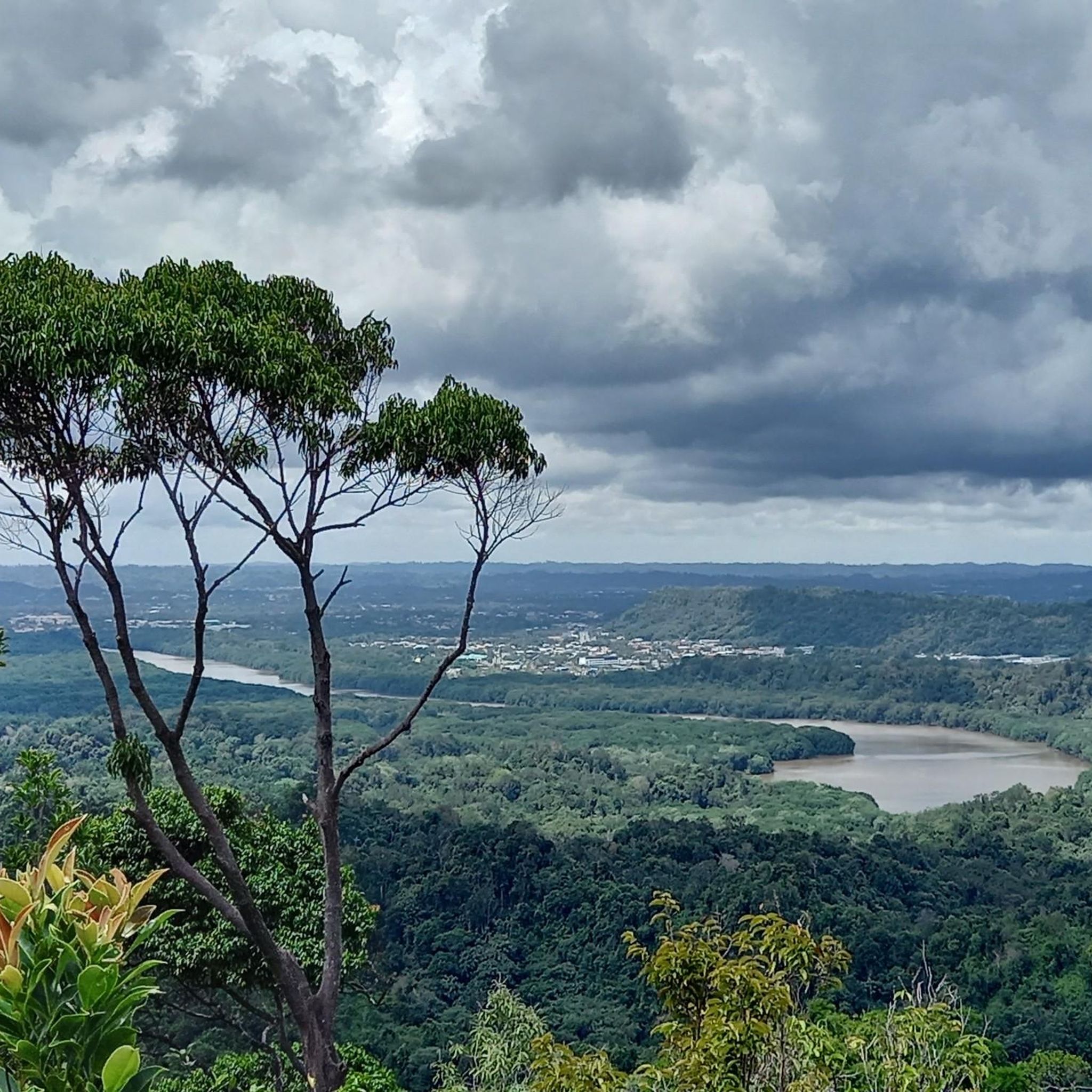
Hiking in Brunei offers exploration through a landscape dominated by pristine rainforests, rolling hills, and winding rivers. Over 70% of the country is covered in lush jungle, providing a rich environment for diverse flora and wildlife. The terrain features numerous hills that offer elevation changes and panoramic viewpoints overlooking the jungle and rivers. This region provides a network of trails suitable for various fitness levels, allowing hikers to experience one of the world's best-preserved ecosystems.
Best hiking trails in Brunei
- The most popular hiking route is Paku Waterfall – Tree Top Tower loop from Mulu, an 8.4 miles (13.5 km) trail that takes about 3 hours 30 minutes to complete. This moderate route leads through dense rainforest to a treetop tower.
- Another top favourite among local hikers is Bukit Shahbandar Hiking Trail loop from Bukit Shahbandar Recreational Park, an easy 2.2 miles (3.5 km) path. This trail offers views over rolling hills and lush canopies.
- Local hikers also love the Jalan Pipit Trail, Tasek Lama – Puncak Sarang Helang loop from Bandar Seri Begawan, a 3.0 miles (4.9 km) trail leading through Tasek Lama Park, often completed in about 1 hour 20 minutes.
- Hiking in Brunei is defined by dense rainforests, undulating hills, and scenic viewpoints. The network offers options for different ability levels, from easy walks to moderate treks.
- The routes in Brunei are highly rated by the komoot community with an average score of 4.7 stars from over 60 reviews. More than 500 hikers have used komoot to explore Brunei's varied terrain.
Last updated: July 1, 2026
4.6
(11)
75
hikers
13.5km
03:33
110m
110m
Moderate hike. Good fitness required. Easily-accessible paths. Suitable for all skill levels.
4.4
(5)
51
hikers
3.59km
01:01
80m
80m
Easy hike. Great for any fitness level. Easily-accessible paths. Suitable for all skill levels.

Sign up for free
4.7
(3)
34
hikers
Easy hike. Great for any fitness level. Easily-accessible paths. Suitable for all skill levels.
5.0
(15)
25
hikers
Easy hike. Great for any fitness level. Easily-accessible paths. Suitable for all skill levels.
11
hikers
2.71km
00:43
30m
30m
Easy hike. Great for any fitness level. Easily-accessible paths. Suitable for all skill levels.
5.0
(1)
7
hikers
Moderate hike. Good fitness required. Easily-accessible paths. Suitable for all skill levels.
7
hikers
3.44km
00:58
70m
70m
Easy hike. Great for any fitness level. Easily-accessible paths. Suitable for all skill levels.
7
hikers
Easy hike. Great for any fitness level. Easily-accessible paths. Suitable for all skill levels.
Get access to more routes and recommendations from other explorers.
Sign up for free
Already have an account?
Our route recommendations are based on thousands of hikes, rides, and runs completed by other people on komoot.
Start today with a free account
Your next adventure awaits.
Login or Signup
Popular around Brunei
Tips from the Community

The tree is several meters wide due to its enormous plank roots on the ground and a group of several people can comfortably fit in front of it. An impressive photo opportunity.
0
0
The waterfall is in two parts. One part falls next to the other into the river. The best view is from the opposite bank. A few steps away there is a kind of covered wooden perch that is suitable as a place to take a break.
0
0


The natural beauty and serene quietness of Brunei’s sustained forests is one of the many places to visit for experiencing a feeling of calmness, away from the hectic everyday life. Bukit Shahbandar Forest Recreational Park would be one of them, being well-known for its mountain hiking trail to go along with the peaceful atmosphere to bask in. The park is located 15 kilometers from the capital city and sits opposite to the stunning Empire Hotel and Country Club. The vast greenery covers up to 234 hectares of land area while being equipped with all sorts of facilities perfect for a family outing or a lone escapade into the wilderness. As its name implies, the park is filled with various recreational facilities such as a playground for the kids and exercising equipment. The large fish pond is particularly popular amongst the visitors to walk around or to take pictures, while an outdoor arena hosts activities such as gasing. You can also grab a bite to eat at the food stalls lined along the entrance before making your way into Bukit Shahbandar.
2
0
Frequently Asked Questions
How many hiking trails are available in Brunei?
Brunei offers a selection of over 10 hiking trails, catering to various fitness levels. The majority of these, around 8, are considered easy, while 3 are moderate, providing options for both casual walkers and more experienced trekkers.
What kind of terrain can I expect on Brunei's hiking trails?
Brunei's hiking trails primarily traverse lush rainforests, featuring undulating hills and occasional elevation changes. You can expect to encounter dense jungle, winding rivers, and sometimes serene waterfalls, offering a rich and immersive natural experience.
Are there any trails with waterfalls in Brunei?
Yes, several trails lead to waterfalls. For example, the Paku Waterfall – Tree Top Tower loop from Mulu is a moderate route that takes you through dense rainforest to a waterfall. Tasek Lama Park, an urban oasis, also features a serene waterfall.
Are there family-friendly hiking options in Brunei?
Absolutely. Many trails in Brunei are suitable for families, especially those rated as easy. The Bukit Shahbandar Hiking Trail loop from Bukit Shahbandar Recreational Park is an easy 3.5 km path offering views over rolling hills and lush canopies, making it a popular choice for families.
Can I find circular hiking routes in Brunei?
Yes, many of Brunei's trails are designed as loops, allowing for a continuous journey without retracing your steps. The Jalan Pipit Trail, Tasek Lama – Puncak Sarang Helang loop from Bandar Seri Begawan is a popular 4.9 km circular route through Tasek Lama Park.
What are some notable viewpoints or landmarks accessible via hiking trails?
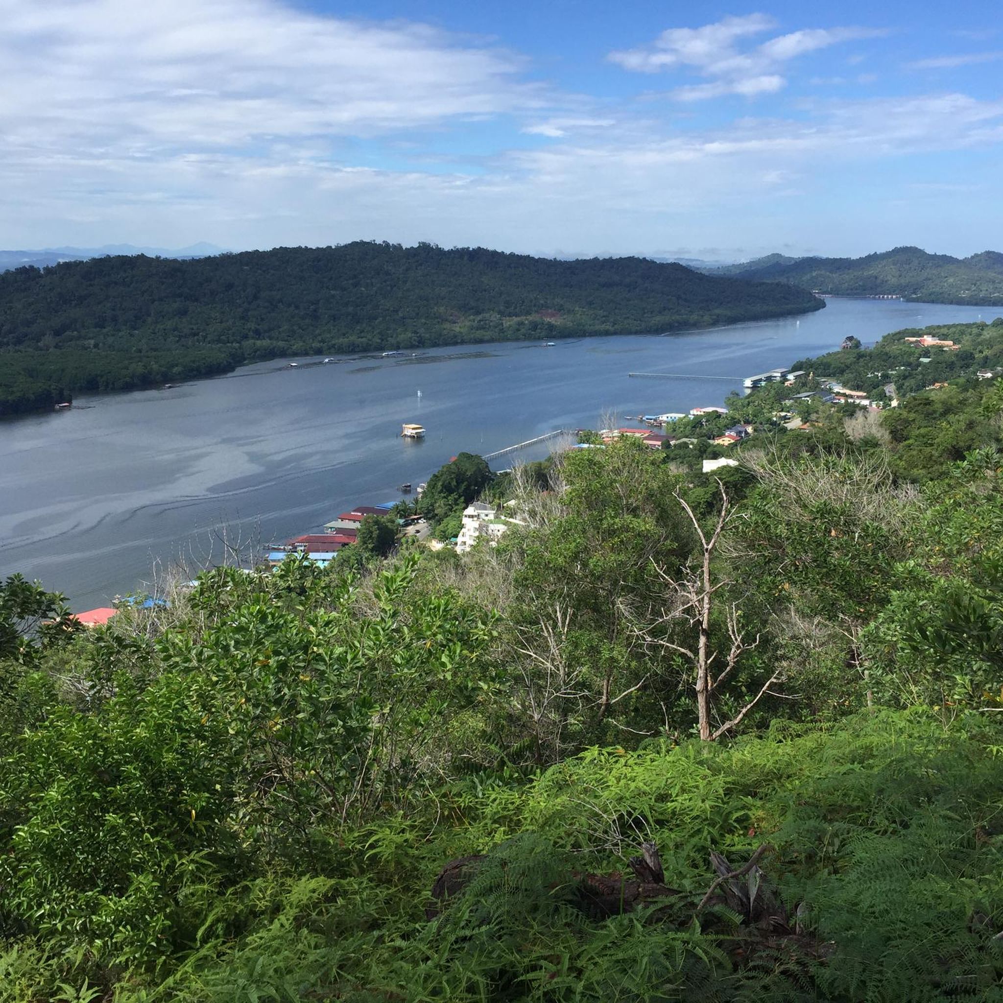
Hikers can discover several scenic viewpoints. The Pondok Perahu Ajung – Bukit Sipatir Viewpoint loop from Subok offers amazing scenery of Brunei Bay and the Brunei River. Additionally, the Tasek Lama Observation Platform provides excellent views within Tasek Lama Park.
What do other hikers enjoy most about hiking in Brunei?
The hiking community highly rates Brunei's trails, with an average score of 4.7 stars. Reviewers often praise the immersive experience of the dense rainforests, the well-maintained paths, and the opportunity to connect with nature in a tranquil setting.
Is it possible to spot wildlife while hiking in Brunei?
Brunei's protected ecosystems are rich in biodiversity, making wildlife spotting a possibility, especially in denser jungle areas. Hikers might encounter various species, including gibbons, hornbills, and proboscis monkeys, particularly in areas like Ulu Temburong National Park.
Are there any specific permits required for hiking in Brunei?
For certain protected areas, such as Ulu Temburong National Park, entry is regulated and requires a guide to preserve its delicate ecosystem. It's advisable to check specific requirements for national parks or remote jungle treks before planning your hike.
What is the best time of year to go hiking in Brunei?
Brunei experiences a tropical climate. While hiking is possible year-round, the drier months, typically from February to April and June to August, might offer more comfortable conditions with less rainfall. However, the rainforest remains lush and vibrant even during wetter periods.
Are there any trails suitable for beginners?
Yes, Brunei has several trails perfect for beginners. The Jalan Pipit Trail, Tasek Lama loop from Bandar Seri Begawan is an easy 2.7 km route, ideal for those new to hiking. Bukit Ambog is also known as a beginner-friendly trail with verdant forests and panoramic views.
Are there any dog-friendly hiking trails in Brunei?
While many trails are in natural settings, specific regulations regarding dogs on hiking trails in Brunei's national parks and forest reserves can vary. It is recommended to check with local authorities or park management for the most current information on pet policies before bringing your dog.
Where can I find parking for hiking trails in Brunei?
Many popular hiking spots, such as Bukit Shahbandar Forest Recreation Park and Tasek Lama Park, offer designated parking areas for visitors. For trails near urban centers like Bandar Seri Begawan, parking facilities are generally available close to the trailheads.
Most popular routes in Brunei
Most popular attractions in Brunei

Get inspired with the komoot mobile app


Explore more
Browse the best Hikes in other regions.
