The best walks and hikes around Foston
4.2
(100)
715
hikers
57
hikes
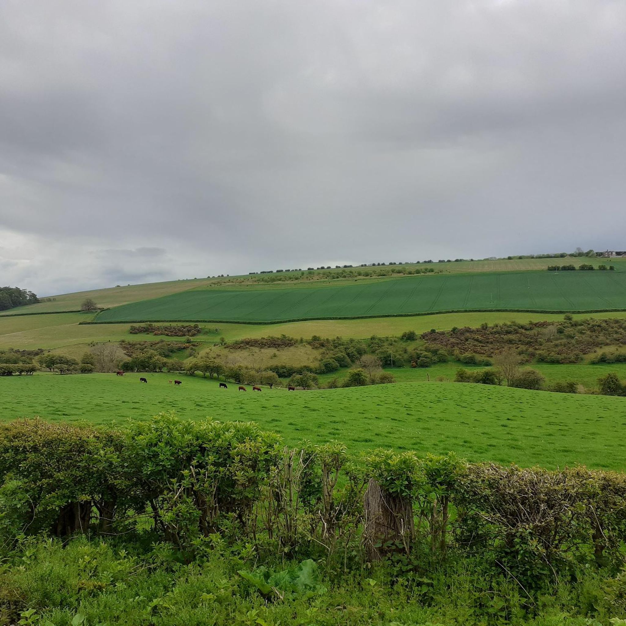
Hiking trails around Foston are characterized by gently undulating landscapes, often featuring arable farmland, pastures, and riverside meadows. The terrain is largely flat with minor undulations, accommodating a wide array of fitness levels. Natural features include rivers and streams, contributing to the area's rural charm. The region offers a network of paths suitable for walking and cycling.
Best hiking trails around Foston
- The most popular hiking route is Boats on the River Hull – High Emmotland Trig Point loop from…
Last updated: June 24, 2026
4.6
(7)
19
hikers
Moderate hike. Good fitness required. Easily-accessible paths. Suitable for all skill levels.
5.0
(2)
11
hikers
12.9km
03:16
30m
30m
Moderate hike. Good fitness required. Easily-accessible paths. Suitable for all skill levels.

Sign up for free
4.7
(3)
11
hikers
10.4km
02:41
40m
40m
Moderate hike. Good fitness required. Easily-accessible paths. Suitable for all skill levels.
11
hikers
6.15km
01:33
10m
10m
Easy hike. Great for any fitness level. Easily-accessible paths. Suitable for all skill levels.
3.0
(1)
8
hikers
9.56km
02:27
40m
40m
Moderate hike. Good fitness required. Easily-accessible paths. Suitable for all skill levels.
Get access to more routes and recommendations from other explorers.
Sign up for free
Already have an account?
Our route recommendations are based on thousands of hikes, rides, and runs completed by other people on komoot.
Start today with a free account
Your next adventure awaits.
Login or Signup
Tips from the Community


Kinship coffee shop. They do hot and cold drinks, cake and lunch options. Vegan and vegetarian friendly. Lovely little local cafe with warm and friendly owner and locals.
1
0
Train station linking the village to driffield, the East Yorkshire coast and over toward hull and beyond. Far side is outbound to hull and near side is the coast. No ticket office, just a ticket machine for self service and shelters. Free car parking. Can be used as a start of a hike or ride.
0
0

Can be slippery in winter conditions - be cautious.
1
0
Dividing the fields, plenty of these can be found around the local area. If you're on a run it's a great way to have a break in between sections.
1
0
Frequently Asked Questions
How many hiking trails are available around Foston?
There are over 50 hiking trails around Foston, offering a variety of options for different preferences and fitness levels. The komoot community has explored these routes over 700 times.
What is the typical terrain like for hiking in Foston?
The terrain around Foston is generally characterized by gently undulating landscapes, featuring arable farmland, pastures, and serene riverside meadows. The area is largely flat with minor undulations, making it accessible for a wide array of fitness levels. You'll often find quiet country lanes and a network of paths suitable for walking.
Are there options for different fitness levels?
Yes, Foston offers a good range of trails for various fitness levels. You'll find over 30 easy routes perfect for a leisurely stroll, 23 moderate trails for a more engaging hike, and a few more challenging options for experienced hikers.
What do other hikers say about the trails in Foston?
The trails in Foston are highly regarded by the komoot community, with an average rating of 4.2 stars from over 90 reviews. Hikers often praise the peaceful riverside paths, open farmland, and the well-maintained network of routes that cater to different abilities.
Are there any interesting landmarks or natural features to see while hiking in Foston?
Yes, the area around Foston offers several points of interest. You can visit the RAF Lissett 158 Squadron Memorial, explore the historic Burton Agnes Hall and Gardens, or enjoy the natural beauty of the River Hull at Skerne Road and the Driffield Canal. The broader East Riding of Yorkshire Countryside also provides scenic views.
Are there family-friendly hiking options in Foston?
Many trails in Foston are suitable for families, especially the easier routes with minimal elevation changes. For example, the Wansford Lock – Wansford Lock loop from Nafferton is an easy 6.1 km route that takes less than 2 hours, perfect for a family outing. The region's generally flat terrain and lack of stiles on some paths make it accessible for children.
Can I bring my dog on the trails around Foston?
Yes, many trails around Foston are dog-friendly. The region's open farmland and riverside paths provide ample space for walks with your canine companion. Always remember to keep your dog under control, especially near livestock, and clean up after them.
Are there any circular walks available?
Yes, Foston offers numerous circular walks. Many of the popular routes, such as the Boats on the River Hull – High Emmotland Trig Point loop from North Frodingham (11.2 km) and the NCN Way of the Roses Route – Railway Crossing loop from Nafferton (13.0 km), are designed as loops, allowing you to start and end at the same point.
Where can I find parking for hiking trails in Foston?
While specific parking details vary by trailhead, many routes around Foston originate from villages like North Frodingham, Nafferton, or Hutton Cranswick, where local parking options are often available. It's advisable to check the starting point of your chosen route for the most convenient parking.
What is the best time of year to go hiking in Foston?
The best time to hike in Foston is generally during the spring, summer, and early autumn months (April to October) when the weather is milder and the countryside is in full bloom. The gently undulating landscape makes it enjoyable even in cooler weather, but always check local forecasts before heading out.
Are there any trails that follow canals or rivers?
Yes, Foston is bordered by the River Witham and Foston Beck, and the region features several trails that follow waterways. For example, the Driffield Navigation Canal – Driffield Canal loop from Nafferton offers a pleasant 9.5 km walk alongside the canal, and the James White Butchers – Streamside Walk loop from Hutton Cranswick leads through open countryside and alongside streams.
Can I access trails in Foston using public transport?
While specific public transport links to every trailhead may vary, many routes start from villages like Nafferton or Hutton Cranswick, which may have local bus services or be accessible via regional transport networks. Planning your route in advance and checking local transport schedules is recommended.
Most popular routes around Foston
Most popular attractions around Foston

Get inspired with the komoot mobile app


Explore more
Browse the best Hikes in other regions.
