The best walks and hikes around Cropwell Butler
4.4
(839)
7,617
hikers
361
hikes
Hiking around Cropwell Butler features a gently rolling rural landscape, characterized by the Mercia Mudstone escarpment which slopes eastward towards the hills of the Vale of Belvoir. The area offers varied terrain, including paths alongside the Grantham Canal and routes through traditional village settings with red brick buildings and mature trees. This geological setting contributes to fertile soils and picturesque surroundings for walks.
Best hiking trails around Cropwell Butler
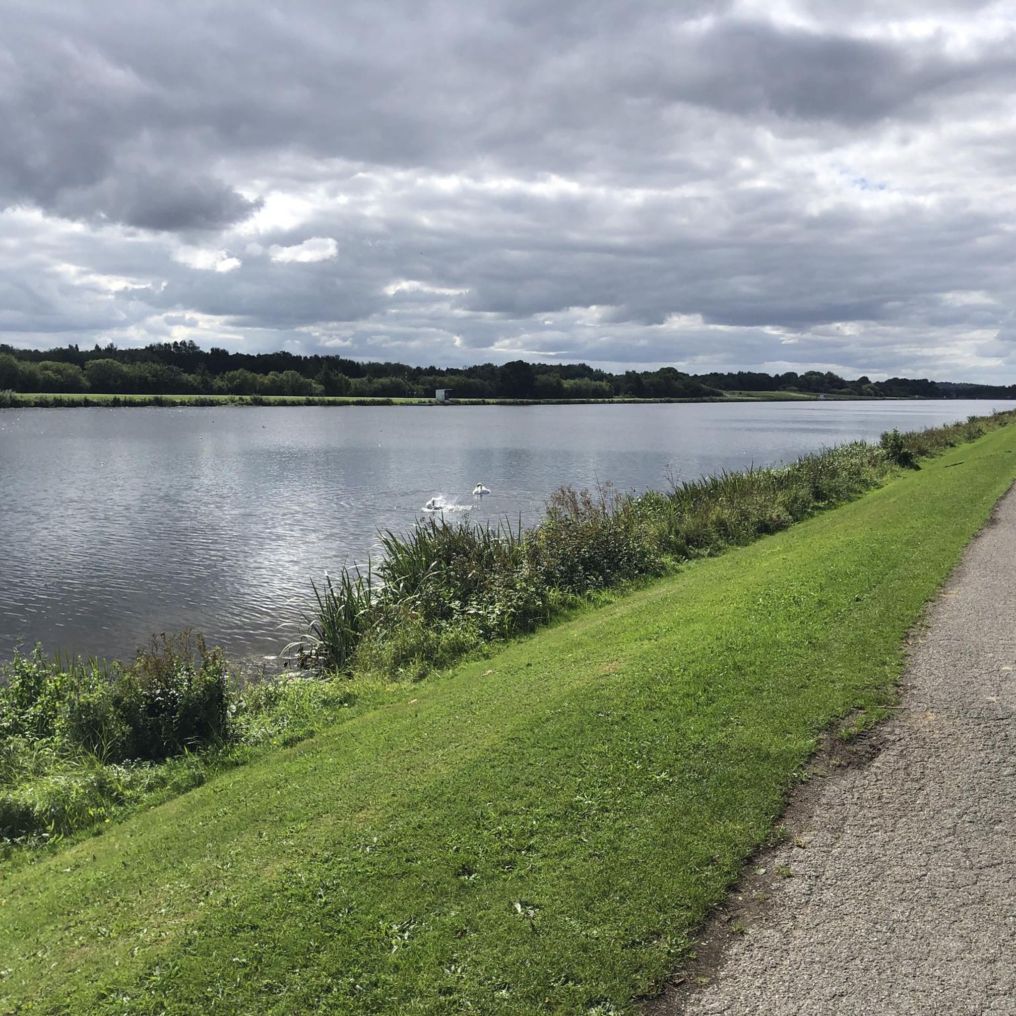
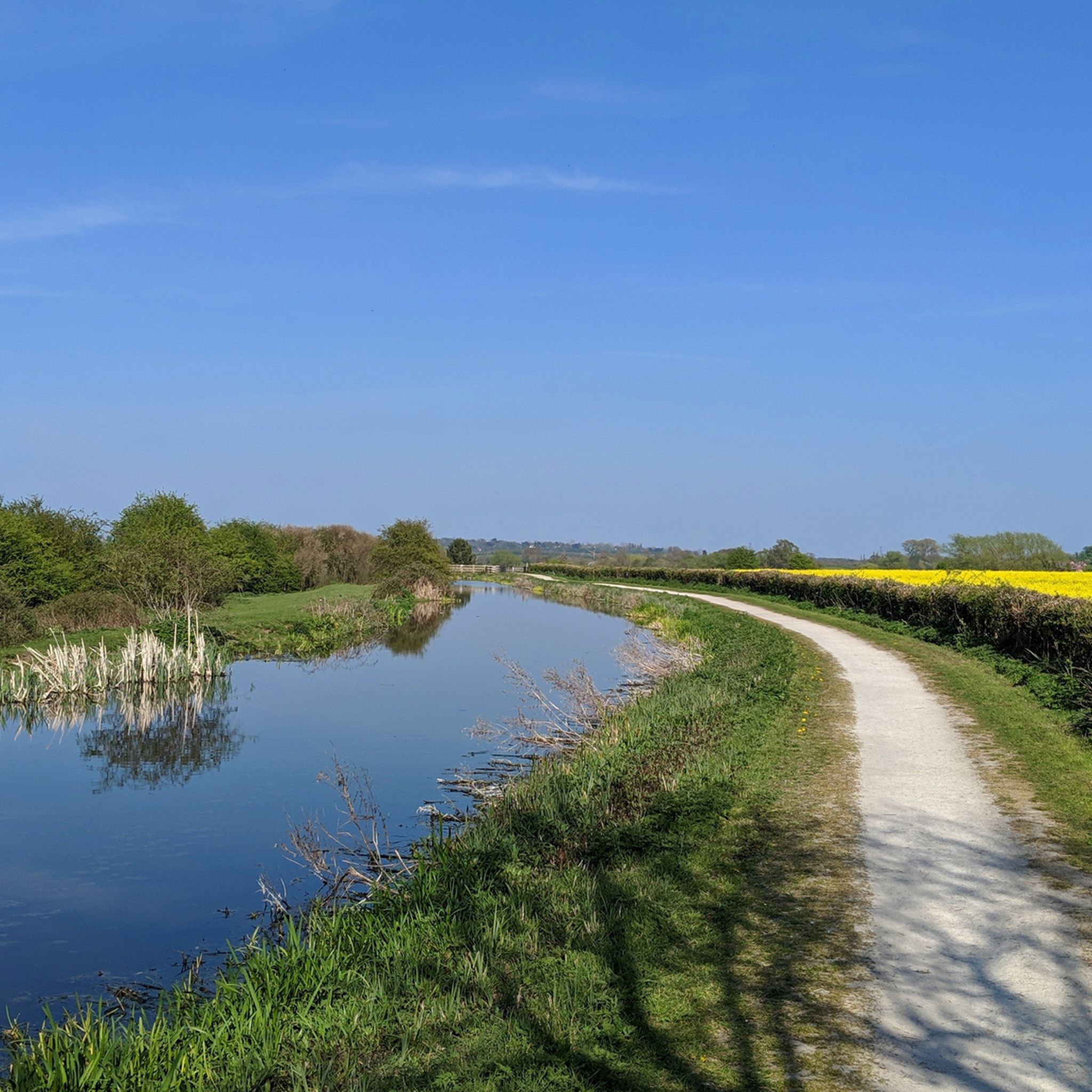
- The most popular hiking route is Grantham Canal Path – Colliery Canal Lock Gates loop from Rushcliffe, a 4.9 miles (7.9 km) trail that takes 2 hours 3 minutes to complete. This route follows the historic Grantham Canal, offering waterside views.
- Another top favourite among local hikers is St Luke's Church, Kinoulton loop from Rushcliffe, a moderate 8.8 miles (14.1 km) path. This trail explores the rural surroundings, passing by St Luke's Church.
- Local hikers also love the Radcliffe Cliff Walk loop from Stoke Bardolph, a 3.1 miles (5.0 km) trail leading through varied landscapes, often completed in about 1 hour 19 minutes.
- Hiking around Cropwell Butler is defined by gently rolling rural landscapes, paths along the Grantham Canal, and routes through traditional village settings. The network offers options for different ability levels, from easy strolls to moderate excursions.
- The routes in Cropwell Butler are highly rated by the komoot community with an average score of 4.4 stars from over 750 reviews. More than 7,500 hikers have used komoot to explore Cropwell Butler's varied terrain.
Last updated: June 26, 2026
4.5
(8)
23
hikers
14.1km
03:36
50m
50m
Moderate hike. Good fitness required. Easily-accessible paths. Suitable for all skill levels.
4.6
(7)
34
hikers
7.40km
01:52
10m
10m
Easy hike. Great for any fitness level. Easily-accessible paths. Suitable for all skill levels.

Sign up for free
4.3
(3)
21
hikers
4.97km
01:19
50m
50m
Easy hike. Great for any fitness level. Easily-accessible paths. Suitable for all skill levels.
5.0
(7)
26
hikers
8.76km
02:16
50m
50m
Moderate hike. Good fitness required. Easily-accessible paths. Suitable for all skill levels.
4.0
(1)
14
hikers
Moderate hike. Good fitness required. Easily-accessible paths. Suitable for all skill levels.
Get access to more routes and recommendations from other explorers.
Sign up for free
Already have an account?
Our route recommendations are based on thousands of hikes, rides, and runs completed by other people on komoot.
Start today with a free account
Your next adventure awaits.
Login or Signup
Tips from the Community

There are four colour-coded & waymarked routes to follow. There is now a ☀️⚡Solar Power Station on site at Stragglethorpe
1
0
Formerly the site of Cotgrave Colliery, one of the most modern pits in Britain, employing up to 2,000 people it closed in 1993. The coal was used to fuel the Ratcliffe-on-Soar Power Station. The shafts were filled-in, the land was reclaimed and the Park opened in 2000.
1
0
Narrow section of mostly natural woodland path through the trees alongside the stream.
1
0
The colliery closed in 1993 and the park opened in 2000. The gates are no longer in use as the canal has become overgrown at this point, although they look to be in working condition.
1
0

An avenue of poplar trees leads to Vimy Ridge Farm. This was originally called Pasture Hill Farm, but was purchased in 1919 by Sir Jesse William Hind and renamed to commemorate his son, Lt. Francis Montagu Hind who was killed in action on 27 September 1916 at the Battle of the Somme. The memorial also included an avenue of 184 Lombardy Poplars lining the drive to the farm, the number of trees representing the number of officers and men of the 9th Battalion The Sherwood Foresters Regiment who died during the battle over the period 7 July to 30 November of 1916. The original poplars were successively felled, due to their age and height becoming a hazard, but were replaced by new planting of the same species as part of the village of Kinoulton's 2000 Millennium celebrations. The farm itself has been derelict for many years, and its current state of decay makes it look as if it could have been transplanted from the battlefield from which it takes its name.
0
0
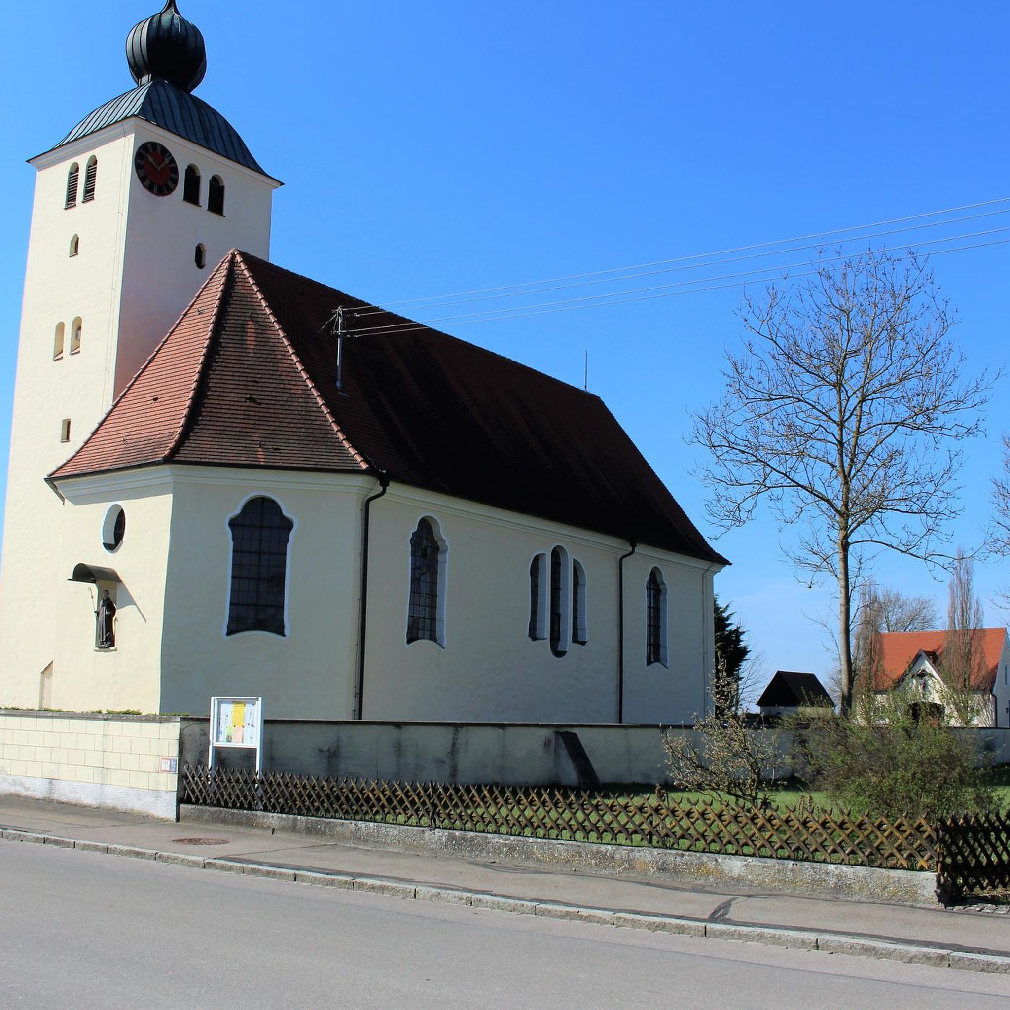
The church dates from 1793 and was built in the Classical style for Henry Noel, 6th Earl of Gainsborough. It replaced a church dedicated to St Wilfred which was located to the north of Kinoulton Lane. Although the building was demolished, the churchyard remains and contains a group of 34 headstones dating from the 1700s.
0
1

Head here for sign on at the nottingham clarion 10
0
0

Very good canal towpath riding. Not that busy and reasonably wide. Good cafe to stop at in Hickling.
0
0
Frequently Asked Questions
How many hiking trails are available around Cropwell Butler?
There are over 370 hiking routes available around Cropwell Butler, catering to a wide range of preferences and abilities. This includes over 200 easy trails and 150 moderate options.
What kind of terrain can I expect on hikes around Cropwell Butler?
The terrain around Cropwell Butler is characterized by a gently rolling rural landscape, influenced by the Mercia Mudstone escarpment. You'll find paths alongside the historic Grantham Canal, routes through traditional village settings with red brick buildings, and trails across fertile agricultural land. The area offers a picturesque mix of natural and cultivated scenery.
Are there easy hiking trails suitable for beginners or families in Cropwell Butler?
Yes, Cropwell Butler offers over 200 easy hiking trails, making it ideal for beginners and families. An example of a family-friendly option is the Radcliffe Cliff Walk loop from Stoke Bardolph, which is 3.1 miles (5.0 km) long and generally takes about 1 hour 19 minutes to complete.
What are some notable natural features or landmarks to look out for on hikes?
Hikers can explore several notable features. The Grantham Canal runs nearby, offering pleasant waterside strolls. You might also spot Hoe Hill, a prominent rounded hill, and enjoy the distinct rural feel of the village with its traditional red brick buildings and mature trees. The Cropwell Butler Conservation Area also highlights the protected landscape.
Are there any circular walks around Cropwell Butler?
Yes, many of the hiking routes around Cropwell Butler are circular, allowing you to start and end in the same location. An example is the Grantham Canal Path – Colliery Canal Lock Gates loop from Rushcliffe, which offers a scenic waterside experience.
What do other hikers enjoy most about the trails in Cropwell Butler?
The hiking routes in Cropwell Butler are highly rated by the komoot community, with an average score of 4.4 stars from over 750 reviews. Hikers often praise the tranquil rural setting, the varied footpaths, and the picturesque surroundings that make for enjoyable walks.
Are there any attractions or points of interest near the hiking trails?
Beyond the trails themselves, you can find interesting attractions nearby. For those interested in water-based activities or views, consider visiting Netherfield Lagoons Nature Reserve or the National Water Sports Centre, Holme Pierrepont. For a historical experience, Ye Olde Trip to Jerusalem, reputedly England's oldest inn, is also within reach.
What is the best time of year to go hiking in Cropwell Butler?
Cropwell Butler's gently rolling landscape and agricultural character make it enjoyable throughout much of the year. Spring and summer offer lush greenery and pleasant weather, while autumn brings beautiful colors to the rural surroundings. Winter walks can also be charming, though some paths might be muddier.
Are there any longer, more challenging hikes available?
While many routes are easy to moderate, there are longer options for those seeking a more extended walk. For example, the St Luke's Church, Kinoulton loop from Rushcliffe is a moderate 8.8 miles (14.1 km) path that explores the rural surroundings and passes by the historic church.
Are there any community spaces or gardens to visit in Cropwell Butler?
Yes, Cropwell Butler has community-focused outdoor spaces. The Village Green serves as a central public open space, and Sheldon Field is regularly used for walks and village sports. The Cropwell Community Garden also provides a space for growing local produce and community engagement.
Where can I find information about the Cropwell Butler Conservation Area?
The Cropwell Butler Conservation Area encompasses a significant portion of the village, highlighting its protected and culturally important landscape. You can find more detailed information about the conservation area, including its appraisal, on the Rushcliffe Borough Council website: Cropwell Butler Conservation Area Appraisal.
Are there any routes that offer views of the Vale of Belvoir?
Cropwell Butler is situated on the Mercia Mudstone escarpment, which slopes eastward towards the distinctive hills of the Vale of Belvoir. While Hoe Hill, a prominent local landmark, was historically known for expansive views, its peak is now covered in trees. However, many routes in the area will offer glimpses and perspectives of the broader Vale of Belvoir landscape as you hike.
Most popular attractions around Cropwell Butler

Get inspired with the komoot mobile app


Explore more
Browse the best Hikes in other regions.
