The best walks and hikes around South Ferriby
4.5
(811)
6,028
hikers
241
hikes
Hiking around South Ferriby offers varied terrains, from expansive waterscapes along the Humber Estuary to gentle countryside trails. The region is characterized by its location on the southern bank of the Humber Estuary, where the Lincolnshire Wolds meet the water. Trails often follow the New River Ancholme and traverse chalk grassland, providing a mix of riverside paths and open landscapes. The terrain is generally relatively flat, making it accessible for a range of fitness levels.
Best hiking trails around South Ferriby
- The most popular hiking route is Far Ings Nature Reserve – Humber Bridge loop from South Ferriby, a 7.1 miles (11.5 km) trail that takes 2 hours 58 minutes to complete. This route explores the Far Ings National Nature Reserve and provides perspectives of the Humber Bridge.
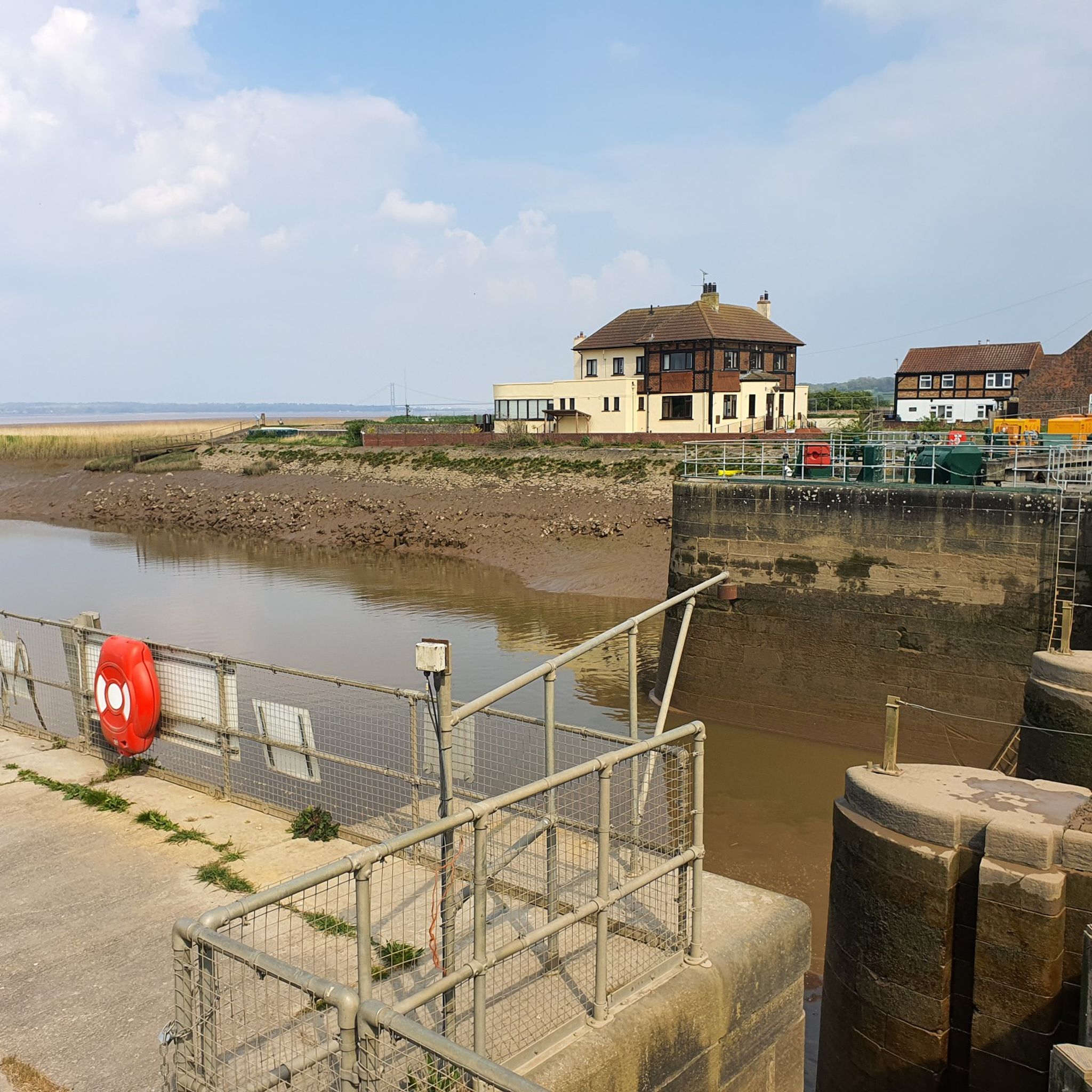
- Another top favourite among local hikers is South Ferriby Lock – Horkstow Suspension Bridge loop from South Ferriby, a moderate 4.7 miles (7.6 km) path. This trail leads through riverside landscapes and past the Horkstow Suspension Bridge.
- Local hikers also love the Humber Bridge – Far Ings Nature Reserve loop from South Ferriby, a 9.5 miles (15.3 km) trail leading through the Humber Estuary foreshore and Far Ings Nature Reserve, often completed in about 4 hours 1 minute.
- Hiking around South Ferriby is defined by Humber Estuary foreshore paths, the New River Ancholme, and chalk grassland. The network offers options for different ability levels, from easy walks to moderate hikes.
- The routes in South Ferriby are highly rated by the komoot community with an average score of 4.5 stars from over 650 reviews. More than 5000 hikers have used komoot to explore South Ferriby's varied terrain.
Last updated: September 1, 2026
5.0
(3)
117
hikers
5.58km
01:25
10m
10m
Easy hike. Great for any fitness level. Easily-accessible paths. Suitable for all skill levels.
4.3
(6)
35
hikers
11.3km
02:53
40m
40m
Moderate hike. Good fitness required. Easily-accessible paths. Suitable for all skill levels.

Sign up for free
4.0
(1)
9
hikers
12.5km
03:16
100m
100m
Moderate hike. Good fitness required. Easily-accessible paths. Suitable for all skill levels.
4.0
(5)
20
hikers
15.2km
04:00
130m
130m
Moderate hike. Good fitness required. Easily-accessible paths. Suitable for all skill levels.
8
hikers
7.87km
02:01
30m
30m
Moderate hike. Good fitness required. Easily-accessible paths. Suitable for all skill levels.
Get access to more routes and recommendations from other explorers.
Sign up for free
Already have an account?
Our route recommendations are based on thousands of hikes, rides, and runs completed by other people on komoot.
Start today with a free account
Your next adventure awaits.
Login or Signup

Tips from the Community


The Grade II listed monument & drinking trough dates from 1897 & was restored in 1957. A plaque on the front of the pedestal records the 60th year of the reign of Queen Victoria & the memory of Frederick Horsley who had died in 1897 having served as steward of the Saxby estate for 42 years. A second plaque records the 1957 restoration & the Silver Jubilee of Queen Elizabeth II.
0
0

Bridge closed completely, April 2025. To cross the river you need to go to South Ferriby.
3
0

Has a carpark with picnic area, lovely walk around nature Reserve with bird watching hides all around.
0
0

Small, very beautiful nature reserve, formerly a clay/lime pit. Amazingly diverse bird life - lots of young birds in June.
1
0


The River Ancholme is a tributary of the Humber. It rises at Ancholme Head, a spring just north of the village of Ingham and west of the Roman Road, Ermine Street. It flows east and then north to Bishopbridge, west of Market Rasen, where it is joined by the Rase.
0
0
Frequently Asked Questions
What kind of terrain can I expect on hikes around South Ferriby?
Hiking around South Ferriby offers a diverse landscape. You'll find expansive waterscapes along the Humber Estuary, peaceful paths beside the New River Ancholme, and trails traversing chalk grassland where the Lincolnshire Wolds meet the water. The terrain is generally relatively flat, making it accessible for a range of fitness levels.
Are there hiking options for all skill levels in South Ferriby?
Yes, South Ferriby provides options for various abilities. While the terrain is generally gentle, you can find routes ranging from easy walks to moderate hikes. For example, the Humber Foreshore Walk – Humber Bridge Country Park loop from South Ferriby is a moderate 17.8 km trail, while other shorter, easier options are also available.
Are there family-friendly walks in South Ferriby?
Many of the trails around South Ferriby are suitable for families due to the generally flat and accessible terrain. Routes along the Humber Estuary foreshore or the New River Ancholme offer pleasant, less strenuous options for a family outing.
Can I bring my dog on the hiking trails in South Ferriby?
Most public footpaths and trails around South Ferriby are dog-friendly. However, if you plan to visit nature reserves like Far Ings, it's advisable to keep dogs on a lead to protect wildlife. Always ensure your dog is under control and clean up after them.
Are there many circular hiking routes available in South Ferriby?
Yes, South Ferriby is well-suited for circular walks. Many popular routes are designed as loops, allowing you to start and end in the same location. Examples include the Far Ings Nature Reserve – Humber Bridge loop from South Ferriby or the South Ferriby Lock – Horkstow Suspension Bridge loop from South Ferriby.
What natural features or landmarks can I see while hiking near South Ferriby?
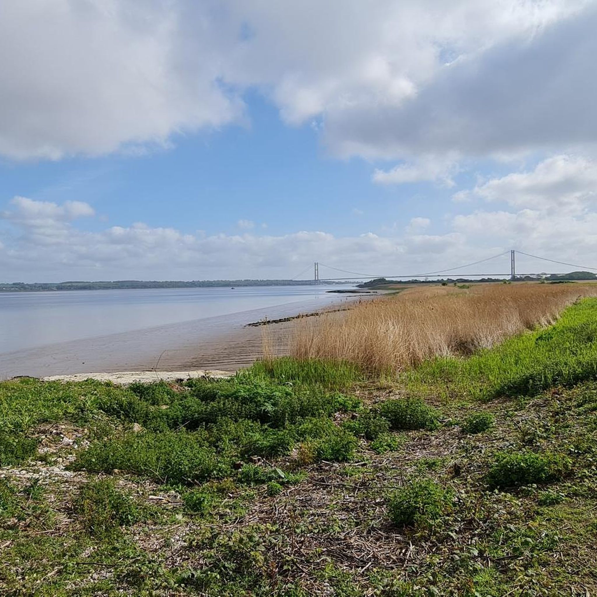
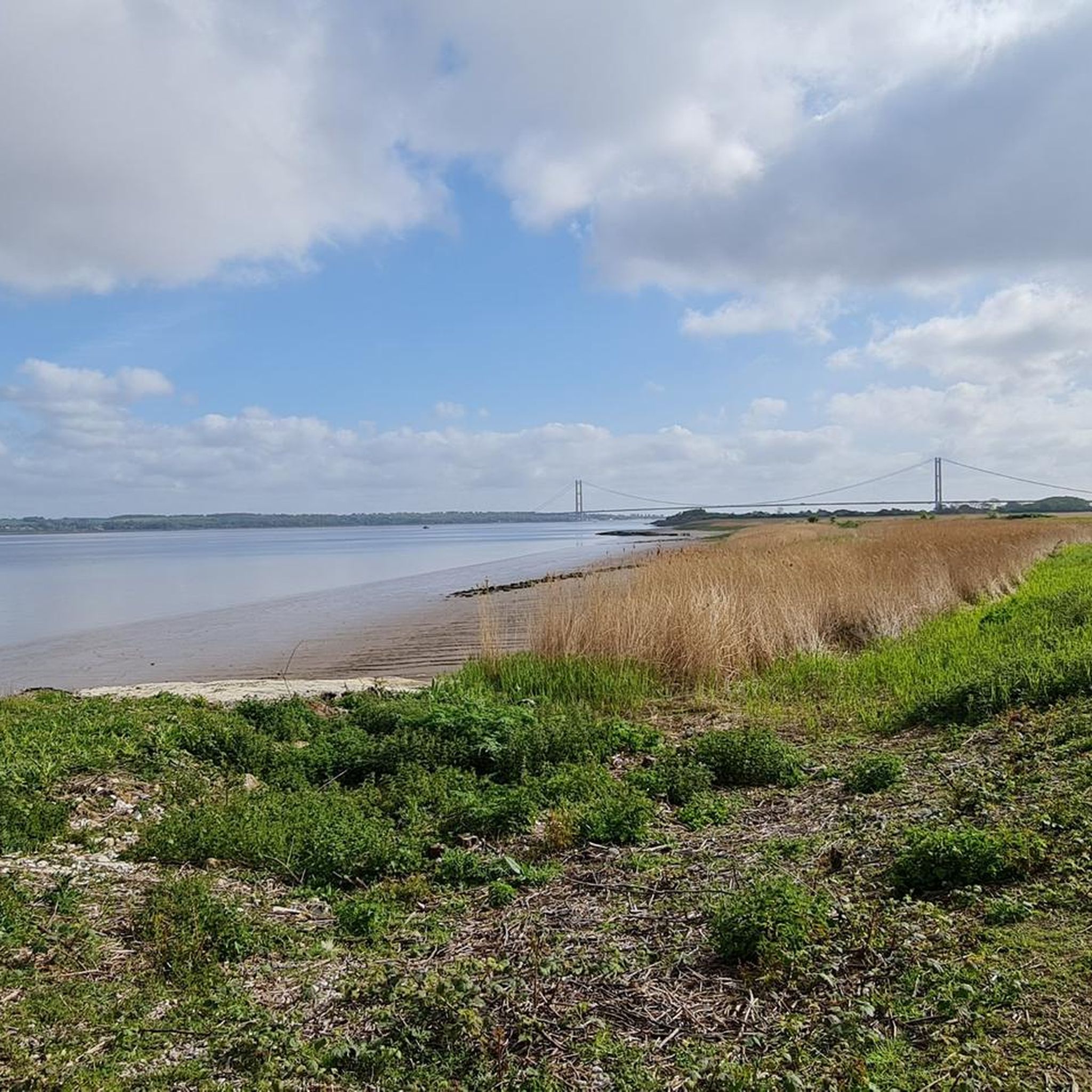
Hikers can enjoy stunning views of the Humber Estuary, observe wading birds, and explore the unique chalk grassland where the Lincolnshire Wolds meet the water. The foreshore is also a significant site for geology, with fossils visible at low tide. You can also visit the Far Ings Nature Reserve for wildlife observation or see the historic Horkstow Suspension Bridge.
Are there any historical sites to explore on hikes around South Ferriby?
The area around South Ferriby is rich in history. You might encounter remains of an ancient Roman villa, medieval cultivation strips, or an Iron Age settlement site. The village itself has St Nicholas' Church, dating back to the 13th century, and the wreck of the 'Mary Maria' can be seen at low tide. Other historical points of interest include St Helen’s Church, Welton and Welton Mill Ponds.
Is parking available near the trailheads in South Ferriby?
While specific parking areas aren't detailed for every trailhead, South Ferriby is a village with various access points to trails. You can typically find roadside parking or designated small car parks in and around the village, especially near popular starting points for walks.
What do other hikers enjoy the most about hiking in South Ferriby?
The hiking routes in South Ferriby are highly rated by the komoot community, with an average score of 4.5 stars from over 700 reviews. Hikers often praise the varied terrain, from the expansive estuary views to the peaceful riverside paths, and the accessibility for different fitness levels.
Are there any longer-distance walking routes that pass through South Ferriby?
Yes, South Ferriby is located on the route of the Viking Way, a significant 147-mile long-distance footpath that begins at the Humber Bridge. This offers opportunities for longer excursions or connecting to other sections of the trail.
What is the best time of year to go hiking in South Ferriby?
Hiking in South Ferriby can be enjoyed year-round. Spring brings blooming chalk grassland flora like cowslip, while autumn offers beautiful estuary views. Summer is ideal for longer walks, and even in winter, the generally flat terrain makes for accessible walks, though conditions can be windier along the estuary.
Can I combine my hike with a visit to a nature reserve?
Absolutely. The Far Ings National Nature Reserve is located northeast of South Ferriby and offers excellent opportunities for wildlife observation. Several loop walks, such as the Humber Bridge – Far Ings Nature Reserve loop from South Ferriby, connect the village to the reserve.
Most popular attractions around South Ferriby

Get inspired with the komoot mobile app


Explore more
Browse the best Hikes in other regions.
