The best walks and hikes around Crowle And Ealand
4.4
(159)
1,009
hikers
18
hikes
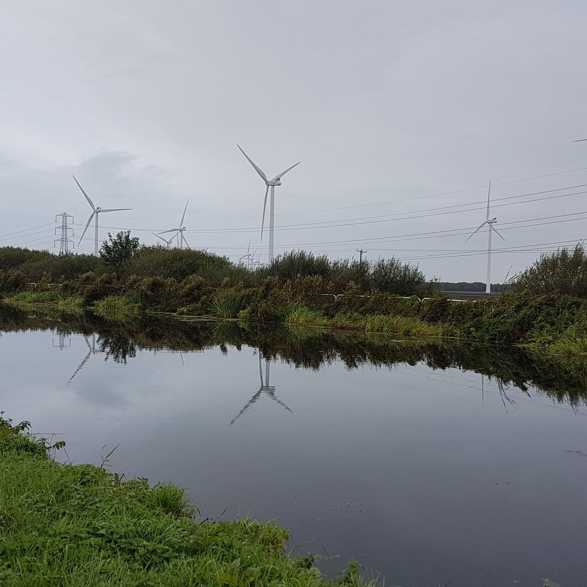
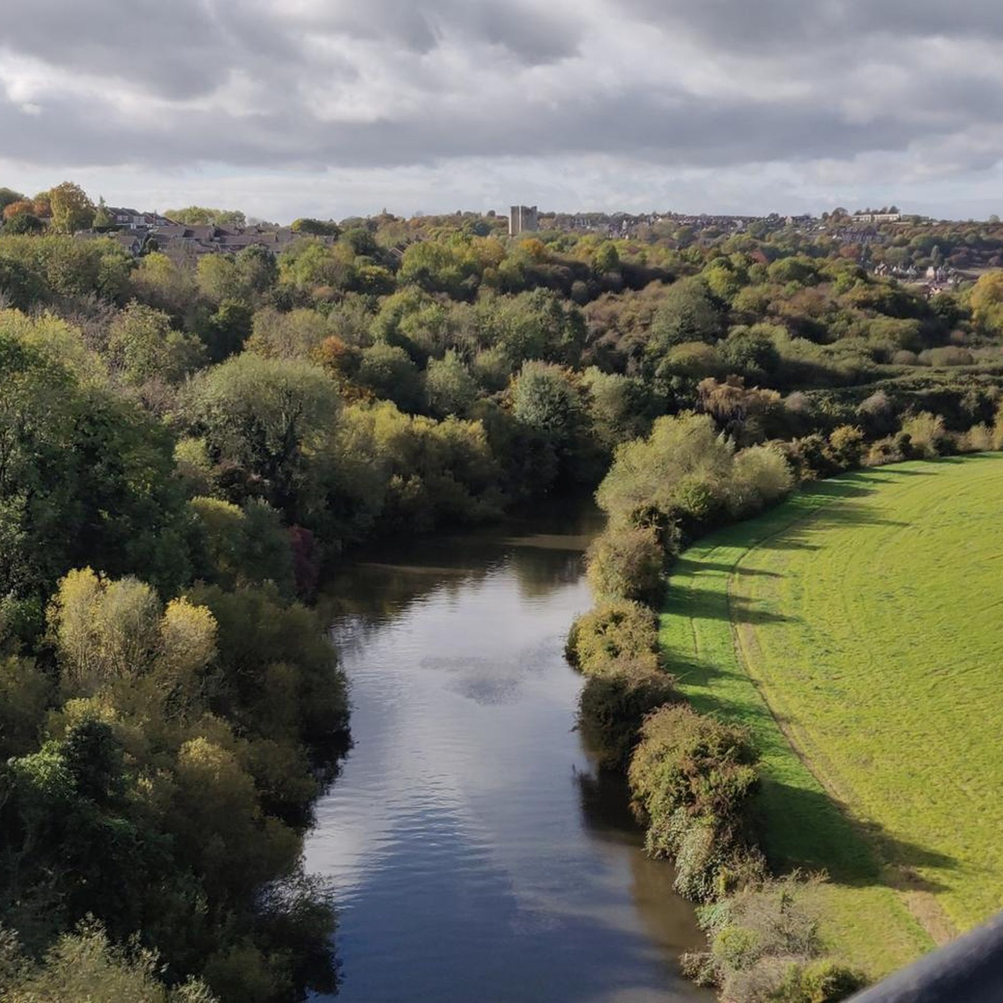
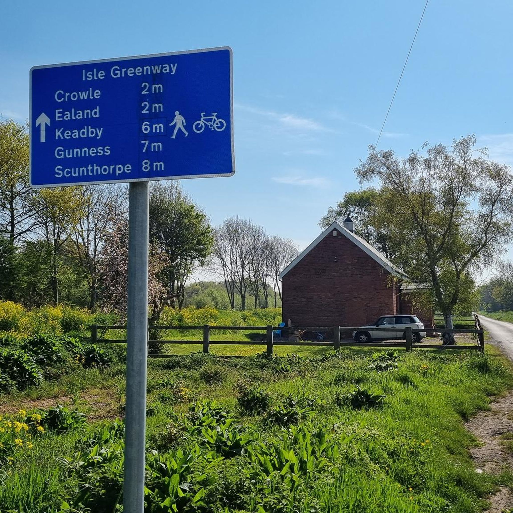
Hikes around Crowle and Ealand explore the unique landscape of North Lincolnshire's Isle of Axholme. The region is characterized by its vast, open skies and the Humberhead Peatlands, a large lowland raised bog system. Many routes follow canal towpaths and traverse the flat terrain of the moors, offering straightforward navigation with minimal elevation change.
Best hiking trails around Crowle And Ealand
- The most popular hiking route is Stainforth & Keadby Canal loop from Crowle, a 10.3 mile (16.6 km) trail that takes about 4 hours 15 minutes to complete. This moderate hike follows the canal towpath, providing a long, flat walk through the area.
- Another top favourite among local hiking enthusiasts is Godnow Bridge loop from Ealand, an easy 4.0 mile (6.4 km) path. This short loop is suitable for most skill levels and passes Godnow Bridge.
- Local hiking enthusiasts also love the Wheat Field loop from Eastoft, a 5.9 mile (9.5 km) trail leading through open fields, often completed in about 2 hours 25 minutes.
- Hiking around Crowle and Ealand is defined by canal-side paths, expansive peatlands, and open agricultural fields. The network of trails offers options for different ability levels, from short, easy walks to longer moderate routes.
- The routes in Crowle and Ealand are highly rated by the komoot community with an average score of 4.4 stars from more than 90 reviews. More than 900 hikers have used komoot to explore Crowle and Ealand's varied terrain.
Last updated: August 26, 2026
4.0
(2)
8
hikers
16.6km
04:13
30m
30m
Moderate hike. Good fitness required. Easily-accessible paths. Suitable for all skill levels.
23
hikers
6.51km
01:38
10m
10m
Easy hike. Great for any fitness level. Easily-accessible paths. Suitable for all skill levels.

Sign up for free
9
hikers
9.54km
02:25
20m
20m
Moderate hike. Good fitness required. Easily-accessible paths. Suitable for all skill levels.
10
hikers
6.17km
01:34
20m
20m
Easy hike. Great for any fitness level. Easily-accessible paths. Suitable for all skill levels.
4.0
(1)
9
hikers
12.7km
03:12
10m
10m
Moderate hike. Good fitness required. Easily-accessible paths. Suitable for all skill levels.
Get access to more routes and recommendations from other explorers.
Sign up for free
Already have an account?
Our route recommendations are based on thousands of hikes, rides, and runs completed by other people on komoot.
Start today with a free account
Your next adventure awaits.
Login or Signup
Tips from the Community

Vazon Swing Bridge is a conventional swing bridge but nearby the railway crosses to the south side of the canal on a very rare type of sliding bridge. This is the Vazon sliding railway bridge, which moves aside to allow boats to navigate down the Stainforth and Kneadby canal.
0
0
Godnow Bridge railway station was a small railway station on the line between Doncaster and Keadby. Now it is a great little bridge to cross over the Stainforth and Keadby canal.
0
0
Crowle is a small market town next to the Stainforth and Keadby Canal. It's a quaint place and has a parish church that contains the Crowle Stone runic cross shaft along with a striking Gothic revival market hall.
0
0

Godnow Bridge railway station was a small railway station on the line between Doncaster and Keadby, between Medge Hall Halt and Crowle. The area is shown on old maps as "Godknow Bridge". It was opened with the line from Thorne (Old) railway station in September 1859 and closed in 1917.
0
0
Frequently Asked Questions
Are there many circular walks available around Crowle and Ealand?
Yes, the area is well-suited for circular walks. Many trails are designed as loops, taking you through the varied landscapes of the Isle of Axholme and back to your starting point without needing to retrace your steps. A good example is the Wheat Field loop from Windsor, which offers a pleasant circuit through open fields.
What are the trails like for beginners or those looking for an easy walk?
The region is excellent for beginners. The terrain is predominantly flat with minimal elevation change, especially along the canal towpaths and across the moors. There are over 10 easy-rated hikes to choose from, such as the Hiking loop from Windsor, which provides a straightforward and enjoyable experience.
Can I bring my dog on the hiking trails?
Most trails in the area are suitable for walking with dogs, especially the open-field and canal-side paths. However, when walking in or near the Crowle Moors, it is crucial to keep your dog on a lead to protect the sensitive ecosystem and ground-nesting birds. Always be mindful of local signage regarding dogs.
Are there any family-friendly walks in the Crowle and Ealand area?
Yes, the flat and easy-to-navigate trails make this a great destination for family outings. Shorter loops are perfect for little legs. The paths around nature reserves like Ashby Ville Nature Reserve can be particularly engaging for children, with opportunities to see wildlife and interesting wood carvings.
What kind of wildlife might I see while hiking?
The Humberhead Peatlands, particularly Crowle Moors, are a sanctuary for diverse wildlife. Birdwatchers can look for species like the long-eared owl, nightjar, and woodcock. It's also possible to spot roe deer, and reptiles such as grass snakes and adders, so it's wise to stay on the marked paths.
What is the terrain like and do I need special footwear?
The terrain is mostly flat, consisting of canal towpaths, agricultural tracks, and paths across the peatlands. The moors can be very wet and boggy, especially outside of the summer months. It is highly recommended to wear waterproof hiking boots, and wellington boots are often a good choice for exploring the moors.
Where can I park to access the walking routes?
There are several informal and official parking areas to access the trails. For walks on the moors, there is a car park for Crowle Moors. For other routes, walkers often find parking in the villages of Crowle, Ealand, or Eastoft, which serve as convenient starting points for many of the circular trails.
Are there any pubs or cafes along the walking routes?
While the trails themselves primarily traverse natural and rural landscapes, the villages of Crowle and Ealand serve as the main hubs for amenities. You can typically find pubs and cafes in these villages to enjoy before or after your hike, but there are very few options directly on the remote moorland paths.
What do other hikers say about the trails around Crowle and Ealand?
The trails are well-regarded by the komoot community. Hikers often praise the sense of peace and the vast, open skies of the moors. The flat terrain and straightforward navigation of the canal towpaths are also frequently mentioned as positive features for a relaxing day of walking.
Are there any longer distance hikes in the area?
Yes, for those seeking a more challenging day out, there are several moderate routes available. You can tackle a longer trail like the 10.3-mile (16.6 km) Stainforth & Keadby Canal loop from Crowle, which offers an extended walk along the flat canal towpath.
What are some interesting landmarks to see on a walk?
A key point of interest is Godnow Bridge, an old structure that features on several local walks. The Crowle Moors themselves are a significant landmark, offering a unique lowland bog landscape with features like a Bailey bridge and a viewing tower on the adjoining Thorne Moors for panoramic views.
Most popular routes around Crowle And Ealand
Most popular attractions around Crowle And Ealand

Get inspired with the komoot mobile app


Explore more
Browse the best Hikes in other regions.
