The best road cycling routes around Zotzenheim
4.5
(518)
9,549
riders
331
rides
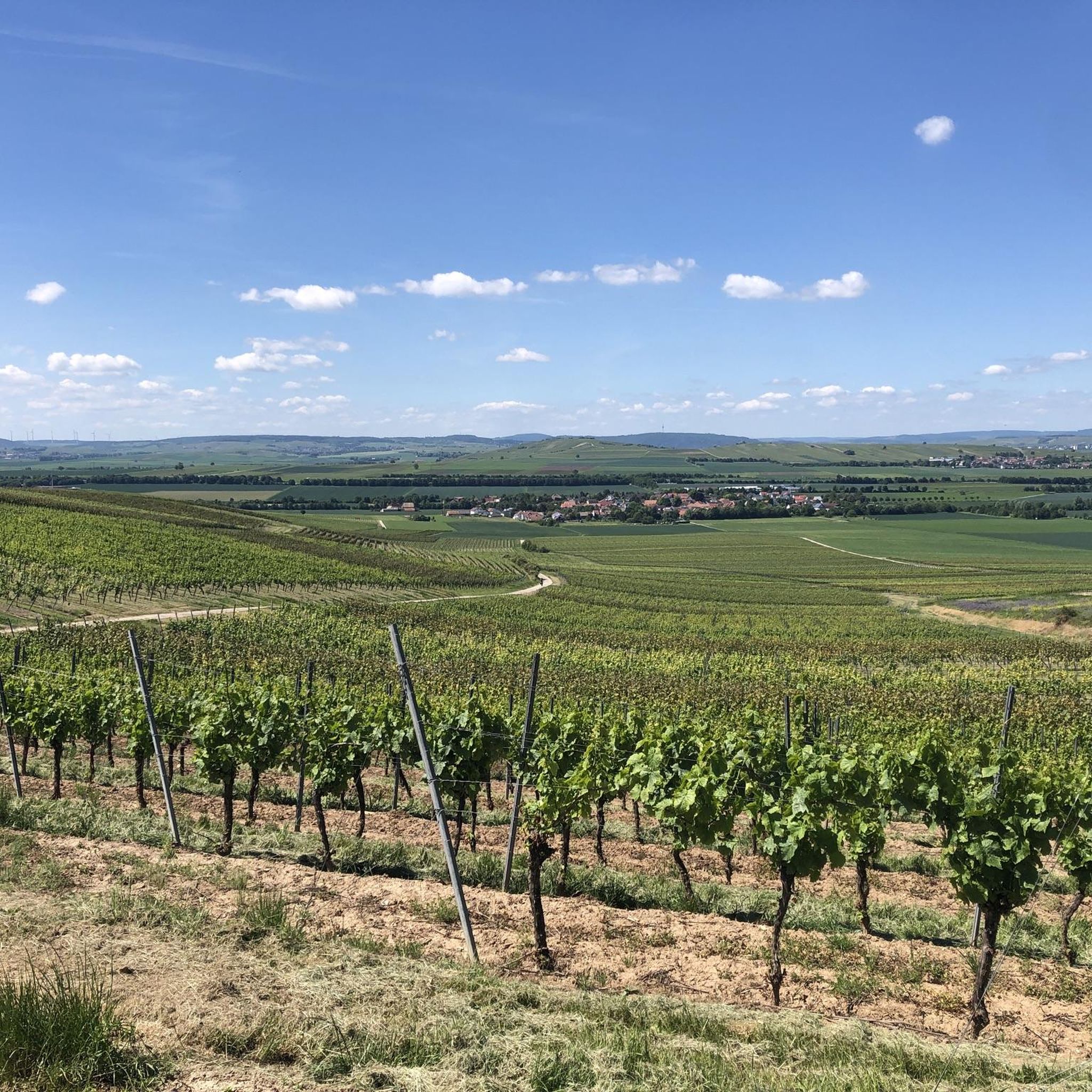
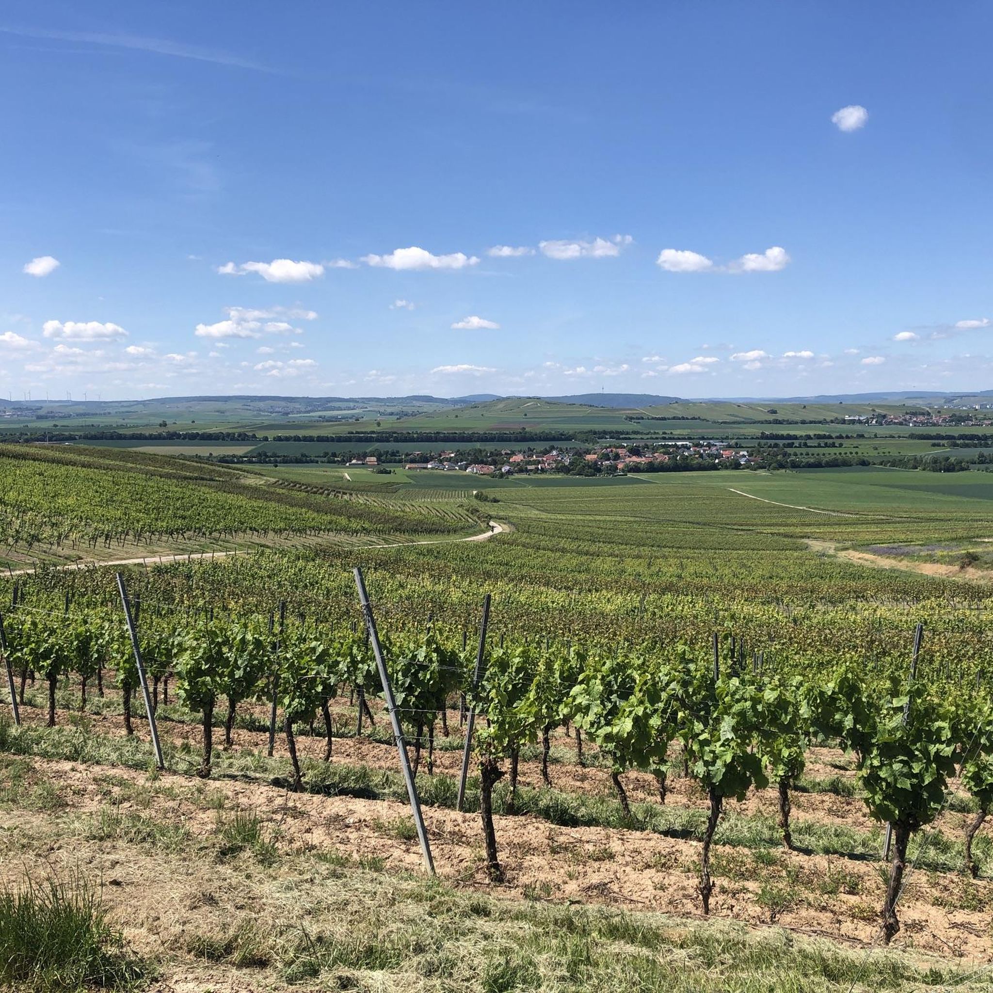
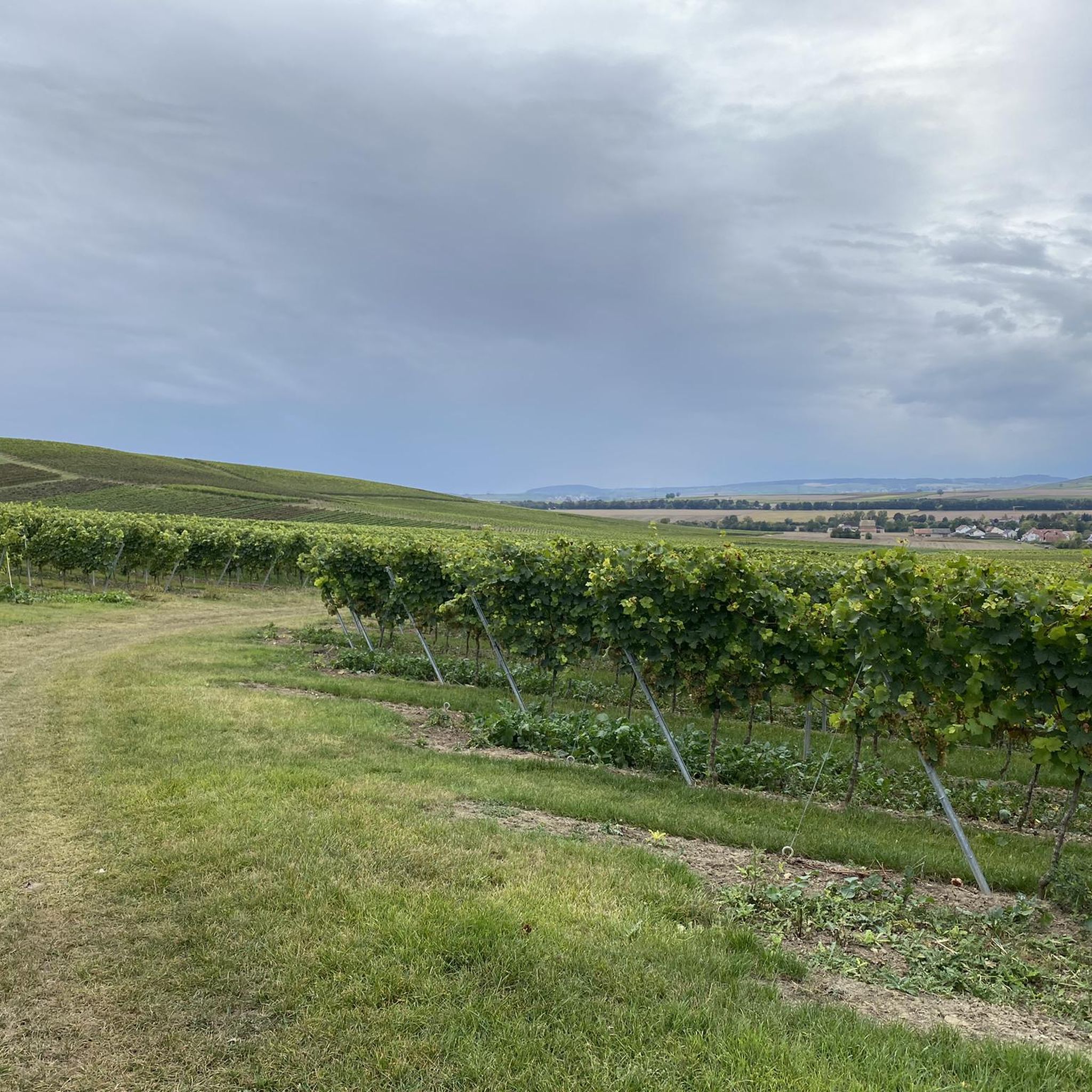
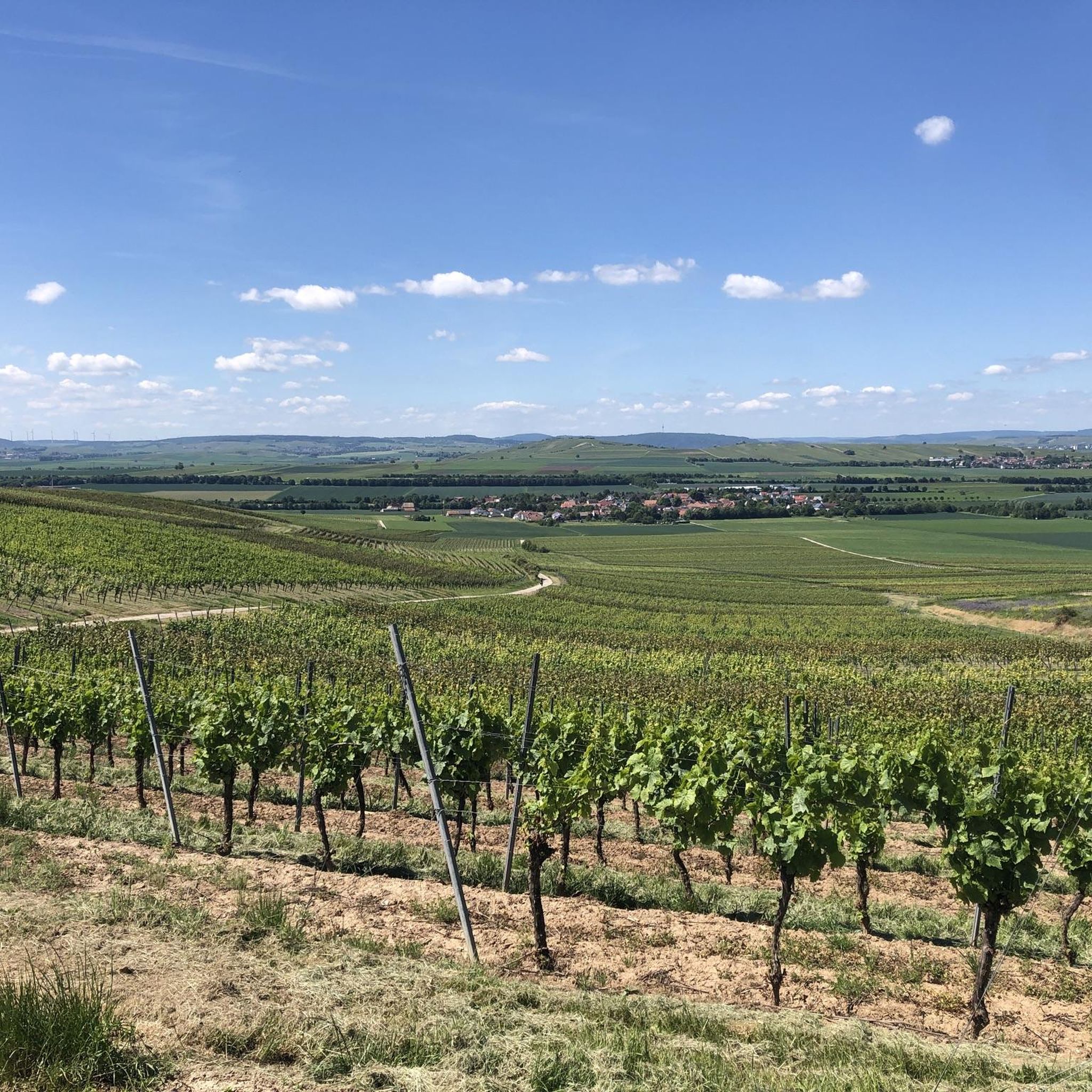
Road cycling around Zotzenheim is characterized by its location within the Rheinhessen wine region, featuring rolling hills, extensive vineyards, and river valleys. The terrain offers a mix of gentle gradients suitable for leisurely rides and more challenging climbs. The area is influenced by the Nahe River, providing routes that follow its course and offer views of its associated cliffs and landscapes.
Best road cycling routes around Zotzenheim
- The most popular road cycling route is Bridge Houses in Bad Kreuznach –…
Last updated: May 20, 2026
4.7
(3)
107
riders
Moderate road ride. Good fitness required. Mostly well-paved surfaces and easy to ride.
5.0
(3)
65
riders
91.7km
03:59
800m
800m
Moderate road ride. Good fitness required. Mostly well-paved surfaces and easy to ride.

Sign up for free
5.0
(2)
59
riders
43.7km
01:48
130m
130m
Moderate road ride. Great for any fitness level. Some segments of this route may be unpaved and difficult to ride.
5.0
(1)
36
riders
41.6km
01:44
240m
240m
Easy road ride. Great for any fitness level. Mostly well-paved surfaces and easy to ride.
15
riders
74.4km
03:28
840m
840m
Moderate road ride. Good fitness required. Mostly well-paved surfaces and easy to ride.
Get access to more routes and recommendations from other explorers.
Sign up for free
Already have an account?
Our route recommendations are based on thousands of hikes, rides, and runs completed by other people on komoot.
Start today with a free account
Your next adventure awaits.
Login or Signup
Tips from the Community

Beautiful tower, good landmark
0
0
Beautiful cycle path without car traffic
0
0

A really beautiful route for biking
0
0
It's always great to bike here.
0
0

Is it worth hiking or cycling there by mountain bike?
0
1
Beautiful cycle path, easy to ride
0
0
Newly constructed cycle path 🚴♂️
0
0
Great route always nice to drive
0
0
Frequently Asked Questions
How many road cycling routes are available around Zotzenheim?
There are over 330 road cycling routes around Zotzenheim, offering a wide variety of options for different skill levels and preferences.
Are there easy road cycling routes suitable for beginners in Zotzenheim?
Yes, Zotzenheim offers a good selection of easy routes. There are 55 routes classified as easy, such as the Tiefenthaler Höfchen – Vineyards Near Münsterappel loop from Sprendlingen, which covers 25.8 miles (41.5 km) with moderate elevation gain.
What kind of terrain can I expect on road cycling routes in Zotzenheim?
The terrain around Zotzenheim is characterized by the Rheinhessen wine region, featuring rolling hills, extensive vineyards, and river valleys. You'll find a mix of gentle gradients for leisurely rides and more challenging climbs, especially near the Nahe River.
Which routes offer the best scenic views or viewpoints?
Many routes provide scenic vistas. For impressive views, consider the Rotenfels Cliffs – Niederhausen–Hüffelsheim Climb loop from Sprendlingen, which offers significant climbs and panoramic views of the Rotenfels Cliffs. The Bridge Houses in Bad Kreuznach – Rheingrafenstein Cliffs on the Nahe loop from Sprendlingen also provides beautiful views of the Nahe River and its cliffs.
Are there challenging road cycling routes with significant climbs?
Absolutely. Zotzenheim has 91 routes classified as difficult. The View of the River Nahe – View of Ebernburg Castle loop from Sprendlingen, for example, is a moderate route covering 46.2 miles (74.4 km) with over 840 meters of elevation gain, offering a good challenge.
What are some interesting landmarks or attractions I can see along the routes?
You can encounter several interesting landmarks. Along routes near Bad Kreuznach, you might see the historic Bridge Houses in Bad Kreuznach or the Salinental Graduation Towers. Other routes offer views of the Rheingrafenstein Castle or the Bismarck Tower in Ingelheim am Rhein.
What do other road cyclists enjoy most about cycling in Zotzenheim?
The area is highly rated by the komoot community, with an average score of 4.5 stars from over 500 reviews. Road cyclists often praise the varied terrain, the scenic vineyards, and the well-maintained paths that offer both leisurely rides and challenging climbs.
Are most road cycling routes around Zotzenheim circular?
Yes, many of the road cycling routes around Zotzenheim are designed as loops, allowing you to start and finish at the same point. This is convenient for planning your ride and returning to your starting location.
When is the best season for road cycling in Zotzenheim?
Given its location in a wine region with river valleys, spring and autumn are particularly pleasant for road cycling in Zotzenheim. The weather is generally mild, and the landscapes are vibrant with blossoming vines or autumn colors. Summer can also be great, but be prepared for warmer temperatures.
Are there any routes that follow the Nahe River?
Yes, the Nahe River significantly influences the routes in the area. The Bridge Houses in Bad Kreuznach – Rheingrafenstein Cliffs on the Nahe loop from Sprendlingen is a prime example, offering views and stretches along the Nahe River.
What is the typical distance and elevation for road cycling routes in this region?
Routes vary widely. Easy routes might be around 25-30 miles (40-50 km) with a few hundred meters of elevation. Moderate routes, like the Bridge Houses in Bad Kreuznach – Rheingrafenstein Cliffs on the Nahe loop from Sprendlingen, are typically 35-40 miles (55-65 km) with 400-500 meters of climbing. More challenging routes can exceed 55 miles (90 km) with over 800 meters of elevation gain.
Most popular routes around Zotzenheim
Most popular attractions around Zotzenheim

Get inspired with the komoot mobile app


Explore more
Browse the best Road cycling routes in other regions.
