The best walks and hikes around Zimmernsupra
4.5
(2279)
12,465
hikers
604
hikes
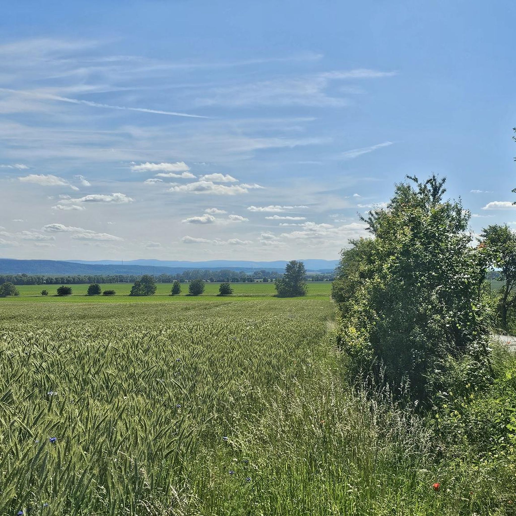
Hiking around Zimmernsupra features a landscape characterized by gentle rolling hills, open fields, and forested sections, often following stream valleys. The region offers a variety of terrain suitable for different hiking preferences, with many routes exploring local villages and historical sites. Elevations are generally moderate, making the area accessible for a range of abilities.
Best hiking trails around Zimmernsupra
- The most popular hiking route is Orphalkloster Memorial Cross – Tiefthal Village loop from Töttelstädt, an 8.7 miles (14.0 km)…
Last updated: July 1, 2026
5.0
(1)
11
hikers
14.0km
03:47
180m
180m
Moderate hike. Good fitness required. Easily-accessible paths. Suitable for all skill levels.
4.5
(4)
12
hikers
10.9km
02:55
130m
130m
Moderate hike. Good fitness required. Easily-accessible paths. Suitable for all skill levels.

Sign up for free
4.0
(1)
5
hikers
12.0km
03:19
210m
210m
Moderate hike. Good fitness required. Easily-accessible paths. Suitable for all skill levels.
4.8
(6)
12
hikers
Moderate hike. Good fitness required. Easily-accessible paths. Suitable for all skill levels.
4.8
(9)
25
hikers
5.16km
01:22
50m
50m
Easy hike. Great for any fitness level. Easily-accessible paths. Suitable for all skill levels.
Get access to more routes and recommendations from other explorers.
Sign up for free
Already have an account?
Our route recommendations are based on thousands of hikes, rides, and runs completed by other people on komoot.
Start today with a free account
Your next adventure awaits.
Login or Signup

Tips from the Community

Premium hiking area with the highlight Grundmühle.
9
0

You can eat and drink very well here, top.
0
0

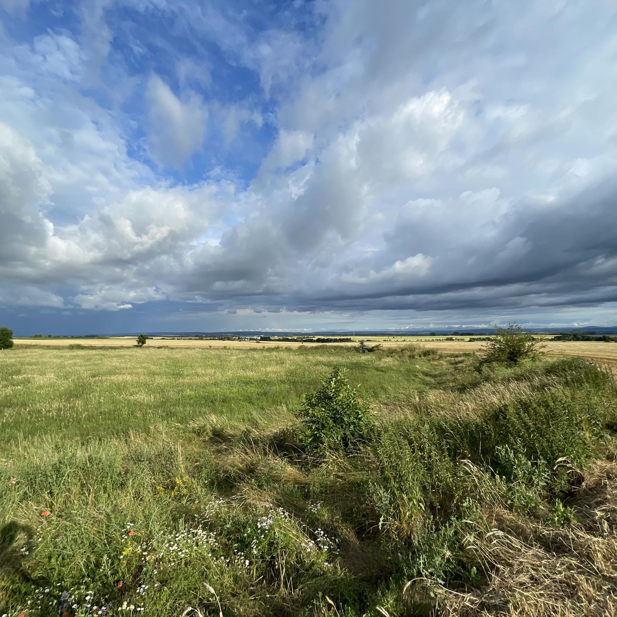
A varied section with open expanses. Depending on the season, the meadow presents a different appearance – from fresh green to golden grasses. A lovely spot for a short break.
0
0


On warm weekends, it's packed and full anyway. Better to park somewhere further into town.
0
0

Actually a nice path from Tiefthal to Grundmühle, but at the moment it is totally sloppy and not necessarily recommendable.
1
0

Most of the sculptures are by the sculptor and theater sculptor Christian Paschold (1949 - 2021), who lived in Tiefthal in the Casa del Artista from the 1990s until his death. The pantomime artist and clown Helmut Besser (Clown Helmi), who died in January 2025, lived in the colorfully designed Kreativthal artists' house with his wife, the textile designer Monika Besser.
0
0
The slender limestone column with strong signs of weathering is generally known as the "Long Stone". Flattenings on the sides, on which remnants of inscriptions can be seen, indicate that it was used as a signpost at one time. However, the inscription above an arrow is no longer visible. The appearance of the direction arrow indicates that the inscription dates to the period around 1850-1880.
0
0
Frequently Asked Questions
How many hiking trails are available around Zimmernsupra?
The Zimmernsupra region offers a wide variety of hiking opportunities, with over 600 recorded trails. This includes approximately 350 easy routes, 250 moderate trails, and a smaller selection of more challenging hikes.
Are there easy hiking trails suitable for beginners or families in Zimmernsupra?
Yes, Zimmernsupra features many easy hiking trails perfect for beginners and families. The terrain generally consists of gentle rolling hills and open fields, making it accessible. An example of an easy route is the Weißbachtal – Orphalkloster Memorial Cross loop from Töttelstädt, which is about 3.2 miles (5.1 km) long.
What is the typical length and duration of hikes in Zimmernsupra?
Hikes in Zimmernsupra vary in length and duration. Many popular routes range from 2 to 4 hours, covering distances between 5 to 9 miles (8 to 14 km). For instance, the Orphalkloster Memorial Cross – Tiefthal Village loop from Töttelstädt is 8.7 miles (14.0 km) and takes about 3 hours 45 minutes.
Are there circular hiking routes available in Zimmernsupra?
Yes, many of the hiking trails around Zimmernsupra are designed as circular routes, allowing you to start and end at the same point. Popular examples include the Fahner Höhe – Weißbachtal loop from Töttelstädt and the Orphal Spring – Orphalkloster Memorial Cross loop from Töttelstädt.
What kind of natural scenery can I expect on hikes around Zimmernsupra?
The hiking trails around Zimmernsupra showcase a diverse landscape of gentle rolling hills, expansive open fields, and charming forested sections. Many routes also follow stream valleys and pass through local villages, offering a mix of natural beauty and cultural insights.
Are dogs allowed on the hiking trails in Zimmernsupra?
Generally, dogs are welcome on the hiking trails around Zimmernsupra. It's always a good idea to keep your dog on a leash, especially when passing through agricultural areas or near wildlife, and to respect local regulations.
What are some interesting landmarks or attractions to see near the hiking trails?
While hiking, you can explore several interesting landmarks. Nearby attractions include historical sites like the Petersberg Citadel and religious buildings such as St. Mary's Cathedral. For natural sights, consider visiting Schwellenburg Hill or the Gera River and the Arch Bridge at Gispersleben.
When is the best time of year to go hiking in Zimmernsupra?
The best time to hike in Zimmernsupra is typically from spring through autumn (April to October). During these months, the weather is generally pleasant, and the landscape is vibrant. The moderate elevations make it enjoyable even in warmer temperatures, and the open fields offer beautiful views.
What do other hikers enjoy most about hiking in Zimmernsupra?
The komoot community highly rates the hiking experience in Zimmernsupra, with an average score of 4.6 stars from over 2,100 reviews. Hikers often praise the well-maintained paths, the varied scenery of rolling hills and forests, and the opportunity to explore charming villages and historical sites along the way.
Are there any viewpoints or scenic spots along the hiking routes?
Yes, the rolling hills and open areas around Zimmernsupra offer several scenic spots. You can find viewpoints that provide expansive vistas of the surrounding landscape, such as the Seeberg View Towards Gotha and Siebleben, which offers panoramic views.
Is public transport available to reach trailheads in Zimmernsupra?
While specific trailhead public transport options vary, the region is generally accessible. For example, the Neudietendorf Station serves as a local transport hub, which may provide connections to areas near some hiking starting points. It's advisable to check local bus schedules for specific routes.
Are there any cafes or places to eat near the hiking trails?
Many hiking routes in Zimmernsupra pass through or near local villages. These villages often have small cafes, bakeries, or guesthouses where you can stop for refreshments or a meal. It's recommended to check ahead for opening times, especially in smaller communities.
Most popular attractions around Zimmernsupra

Get inspired with the komoot mobile app


Explore more
Browse the best Hikes in other regions.
