The best walks and hikes around Ziegendorf
4.7
(81)
236
hikers
21
hikes
Hiking around Ziegendorf offers exploration through a varied landscape characterized by ground moraine, a result of glacial activity. The region features a mix of open fields, dense forests, and tranquil meadows, providing diverse scenery for hikers. Trails often lead past serene village ponds and offer views of the surrounding rural environment. The terrain generally presents gentle elevation changes, making it accessible for various hiking abilities.
Best hiking trails around Ziegendorf
- The most popular hiking route is Ruhner Berge Observation Tower…
Last updated: May 16, 2026
4.6
(10)
40
hikers
12.3km
03:18
150m
150m
Moderate hike. Good fitness required. Easily-accessible paths. Suitable for all skill levels.
4.5
(6)
20
hikers
9.35km
02:30
110m
110m
Moderate hike. Good fitness required. Easily-accessible paths. Suitable for all skill levels.

Sign up for free
4.0
(5)
23
hikers
Easy hike. Great for any fitness level. Easily-accessible paths. Suitable for all skill levels.
5.0
(4)
19
hikers
Easy hike. Great for any fitness level. Easily-accessible paths. Suitable for all skill levels.
5.0
(2)
18
hikers
Easy hike. Great for any fitness level. Easily-accessible paths. Suitable for all skill levels.
Get access to more routes and recommendations from other explorers.
Sign up for free
Already have an account?
Our route recommendations are based on thousands of hikes, rides, and runs completed by other people on komoot.
Start today with a free account
Your next adventure awaits.
Login or Signup
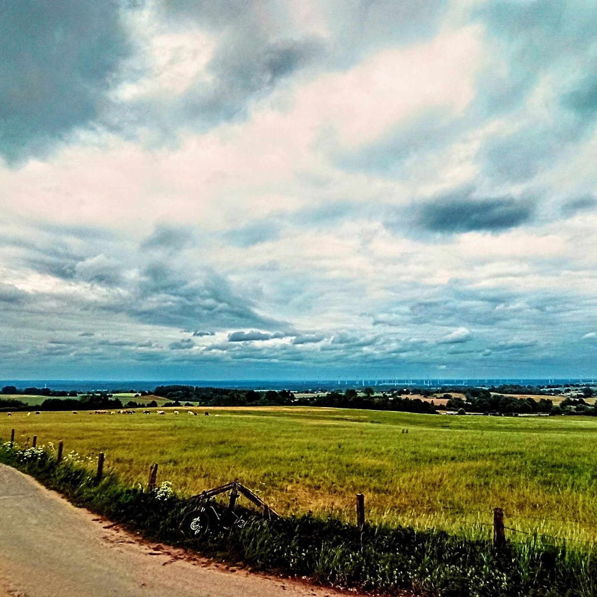
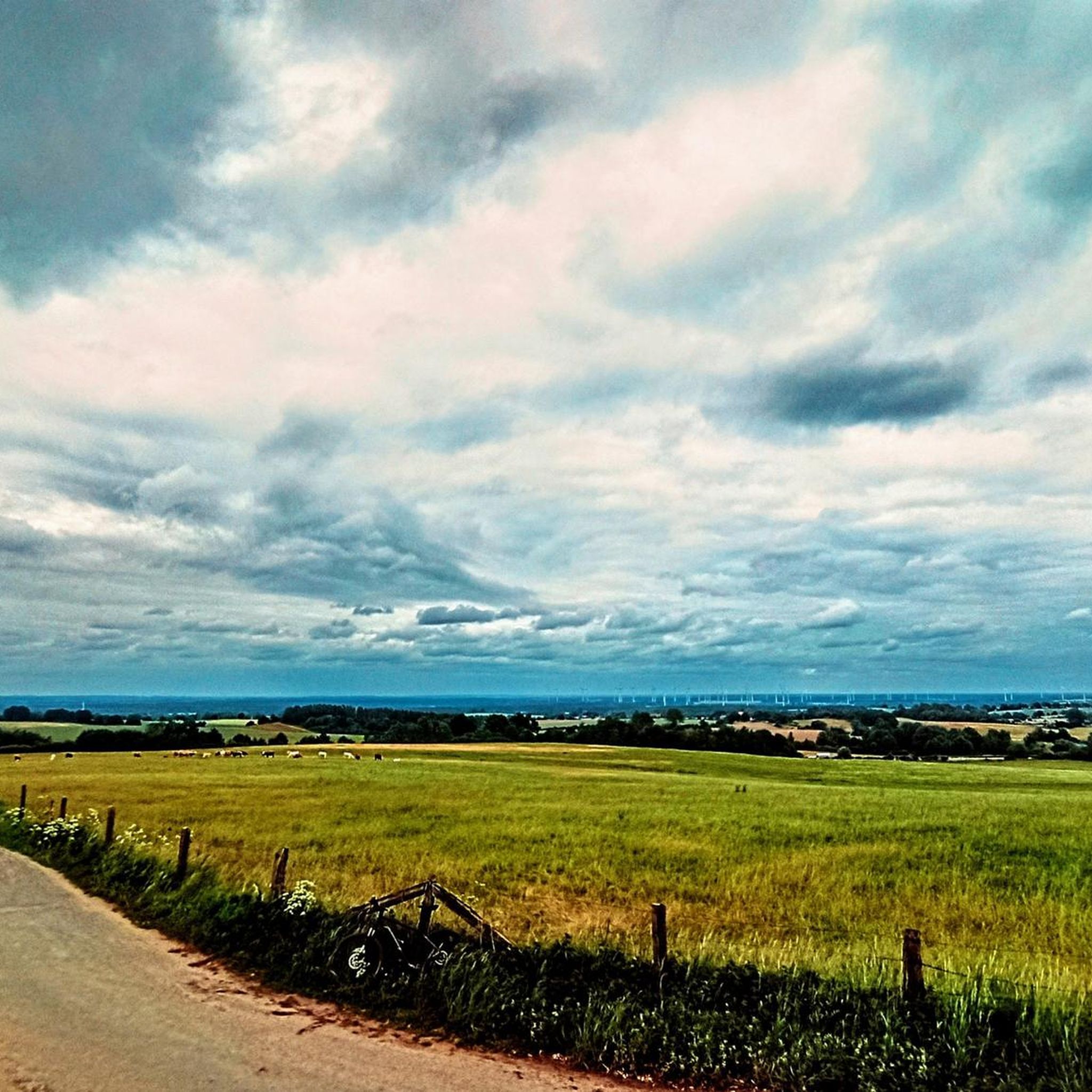
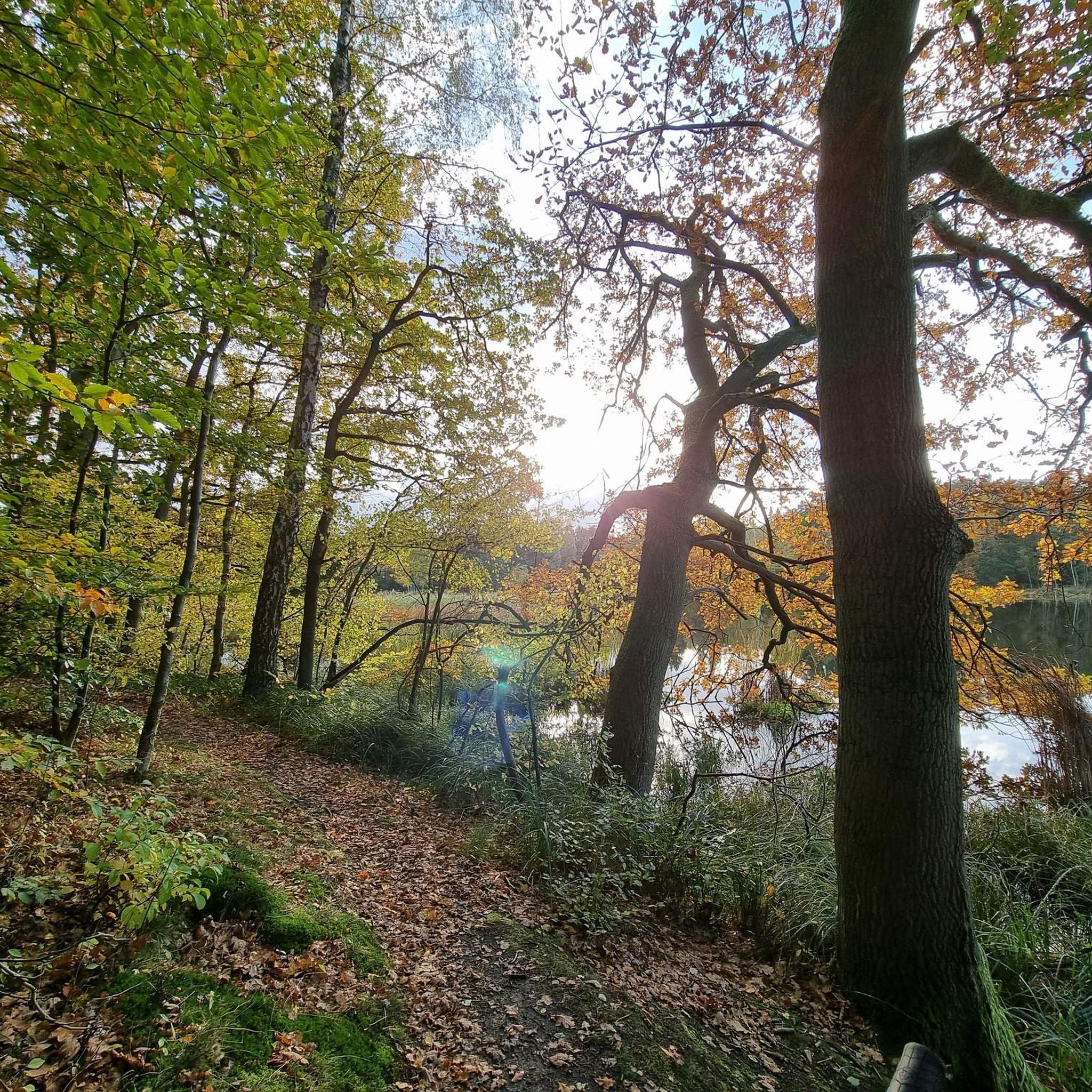
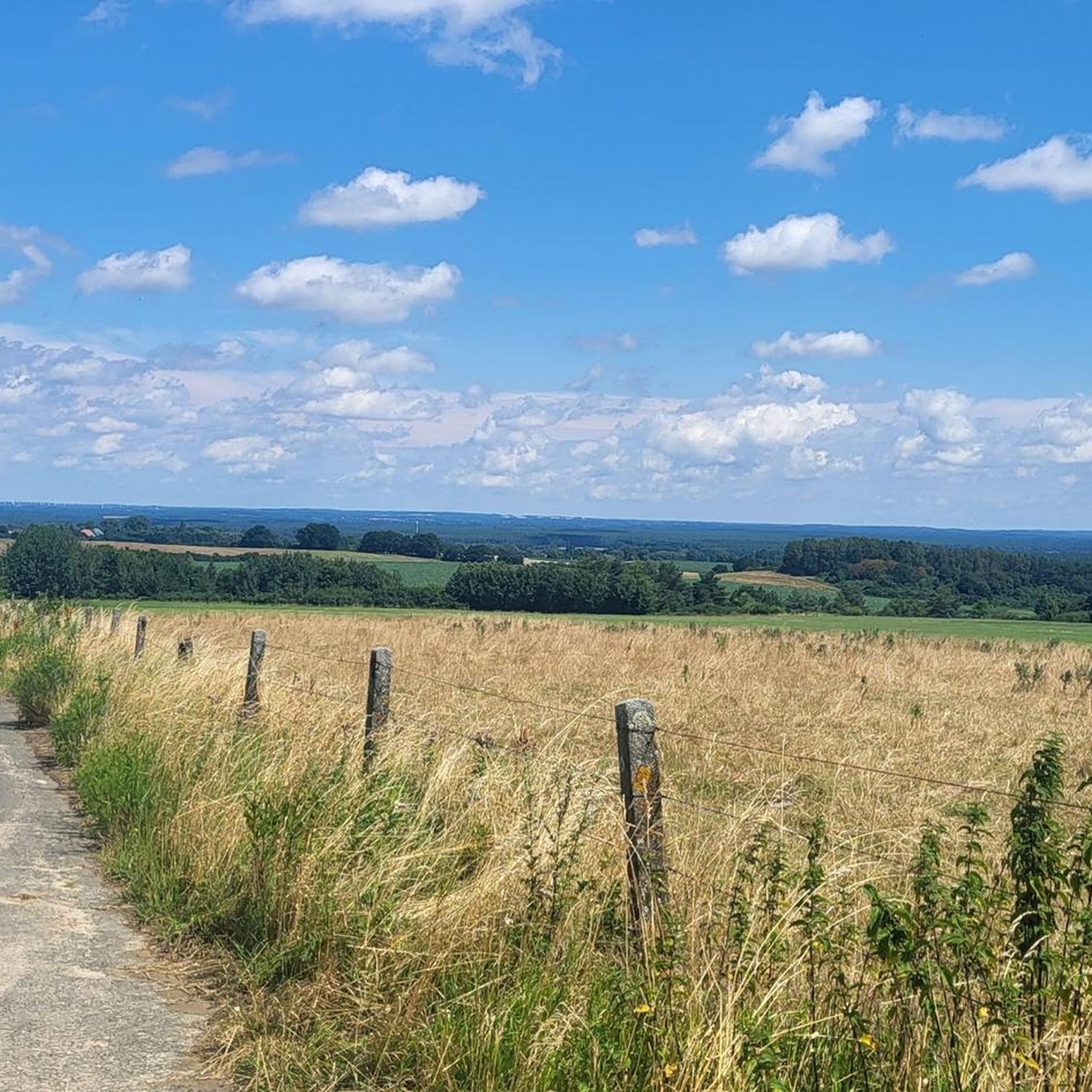
Tips from the Community


The stairs from the path up to the tower were steep enough. You don't really need to lug your bike up as well. Do you? - Yes!
1
0

Between KM 8.0 and 8.3 there is the opportunity to run in two federal states on a paved avenue: The state border between Mecklenburg-Western Pomerania and Brandenburg runs right in the middle of the avenue - whoever walks on the left runs in Mecklenburg, whoever runs on the right runs in Brandenburg.
1
0
The area around the namesake of the Ruhner Mountains is a little more open - the former village of Ruhn, which existed until 1982 and is now just a desert area. Apart from a covered monument, there is nothing left to remind us of the former village, where around 149 people still lived in 1949. Since Ruhn is located in a lowland, from here it goes back up to the Ruhner Berg. Thanks to the many cultivated paddocks and pastures, you can get a better view of the hilly landscape than from the forests, because unfortunately the individual mountains in the dense forests can only be glimpsed.
1
0

The village of Ruhn once stood here, giving the Ruhner mountains their name. In 1982 the buildings were demolished; today there is a pavilion here and explains the history of the village.
0
0
Great view from above, but you should be free from giddiness.
0
0
Frequently Asked Questions
What kind of landscape can I expect when hiking around Ziegendorf?
The Ziegendorf region is characterized by its diverse ground moraine landscape, a result of glacial activity. You'll find a varied terrain featuring a mix of open fields, dense forests, and tranquil meadows. Trails often lead alongside the Waidbach and Beke rivers and past serene village ponds, offering a constantly changing scenic backdrop.
How many hiking trails are available in Ziegendorf?
There are over 20 hiking trails around Ziegendorf, offering a range of options for different abilities. The komoot community has explored more than 200 routes in the area, with 21 officially listed tours.
Are there easy hiking trails suitable for families or beginners in Ziegendorf?
Yes, Ziegendorf offers 13 easy hiking trails. An example is the Path Along the Fields – Ruhner Berge Observation Tower loop from Marnitz, which is 4.7 km long and typically takes about 1 hour 30 minutes to complete. Another easy option is the Ruhner Berge Observation Tower – Ruhner Berge Observation Tower loop from Ruhner Berge, covering 6.6 km.
What are some moderate hiking options in Ziegendorf?
For those seeking a more challenging experience, there are 8 moderate trails. A popular choice is the Ruhner Berge Observation Tower – Path Along the Fields loop from Marnitz, which spans 12.3 km and offers expansive views. Another great moderate route is the Path Along the Fields – To the observation tower loop from Neu Drefahl, a 9.4 km path navigating through open fields and forested sections.
Are there any circular hiking routes in Ziegendorf?
Many of the trails in Ziegendorf are designed as circular routes, allowing you to start and end at the same point. For instance, the Ruhner Berge Observation Tower – Path Along the Fields loop from Marnitz and the Ruhner Berge Observation Tower – Ruhner Berge Observation Tower loop from Ruhner Berge are both excellent circular options.
What interesting landmarks or attractions can I discover along the hiking trails?
The Ziegendorf area offers several points of interest. You might encounter the historic Löwenkopf Bridge, explore the mysterious Vieting's Cave (Robber Vieting's Cave), or see the impressive Mentin Castle. The region also features a significant natural monument, the Riesensteingrab (Giant Stone Grave), which is a notable point of interest on some local routes.
What do other hikers say about the trails in Ziegendorf?
The hiking trails in Ziegendorf are highly rated by the komoot community, with an average score of 4.6 out of 5 stars from over 70 reviews. Hikers often praise the varied terrain, the peaceful atmosphere of the forests and meadows, and the well-maintained paths that make for enjoyable outdoor experiences.
Are the hiking trails in Ziegendorf dog-friendly?
Many trails in Ziegendorf are suitable for hiking with dogs, especially those that traverse open fields and forest paths. It's always recommended to keep your dog on a leash, especially in areas with wildlife or near agricultural land, and to respect local regulations regarding pets.
Is there parking available at the trailheads in Ziegendorf?
While specific parking information for every trailhead isn't detailed, most hiking areas in rural regions like Ziegendorf typically offer designated parking spots near popular starting points or village centers. It's advisable to check local signage upon arrival.
What is the best time of year to go hiking in Ziegendorf?
Ziegendorf offers enjoyable hiking experiences throughout much of the year. Spring brings blooming landscapes, while summer provides lush greenery. Autumn is particularly beautiful with vibrant fall colors. Even in winter, the ground moraine landscape can offer serene, crisp walks, though conditions may vary.
Are there any trails that lead to viewpoints or observation towers?
Yes, several trails in Ziegendorf lead to the Ruhner Berge Observation Tower, offering expansive views of the surrounding landscape. For example, the Ruhner Berge Observation Tower – Path Along the Fields loop from Marnitz is a popular route that includes this viewpoint.
Most popular attractions around Ziegendorf

Get inspired with the komoot mobile app


Explore more
Browse the best Hikes in other regions.
