The best walks and hikes around Broadheath
4.5
(403)
4,125
hikers
291
hikes
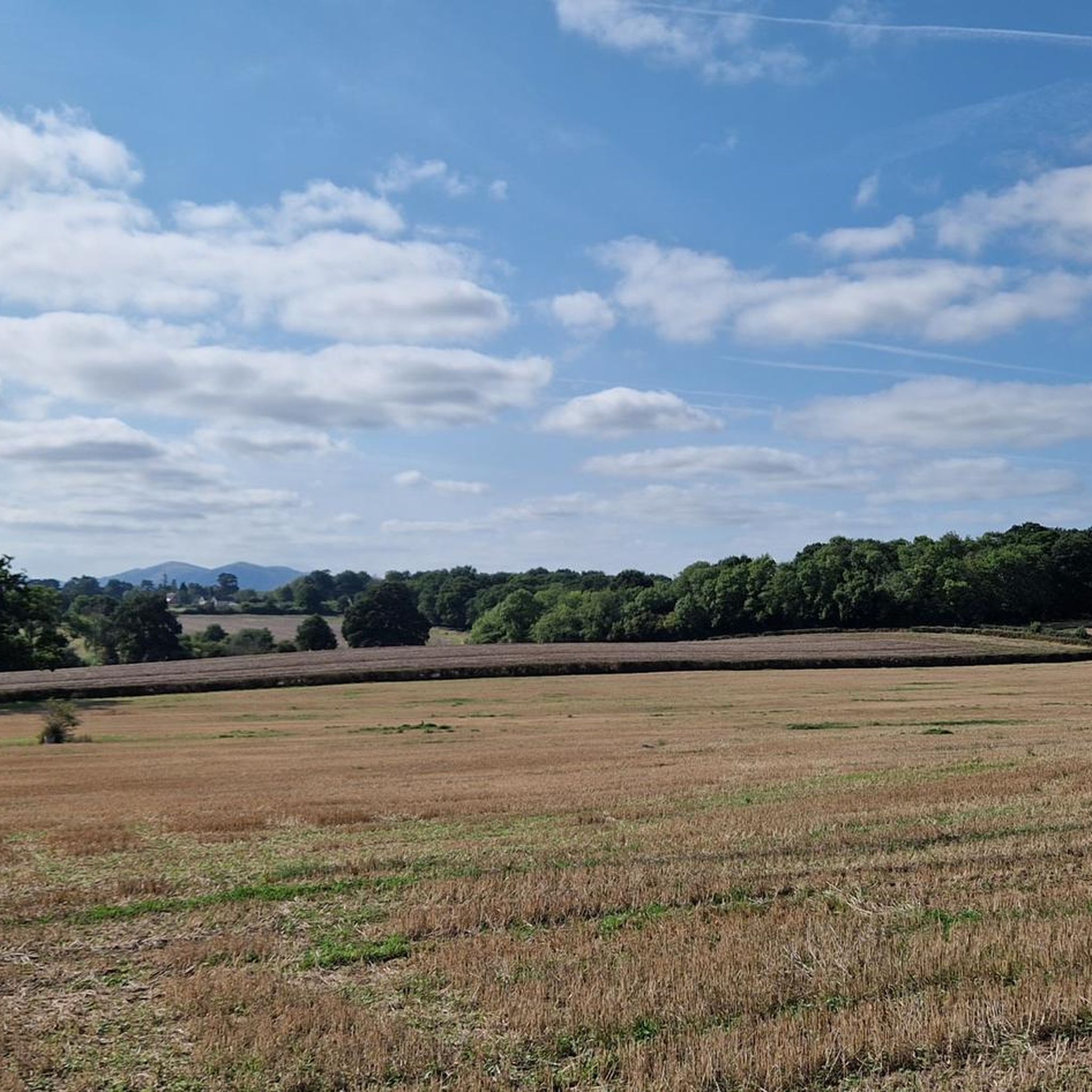
Hiking around Broadheath offers a variety of routes through diverse landscapes, characterized by its network of rivers, canals, and open countryside. The region features accessible paths along the River Severn and River Salwarpe, as well as routes through woodlands and past fishing ponds. While generally low in elevation, the area provides varied terrain suitable for different fitness levels, with the Malvern Hills visible in the distance.
Best hiking trails in Broadheath
- The most popular hiking route is Diglis Bridge – River Severn Footbridge loop from Worcester, a 3.9 miles (6.2 km) trail that takes 1 hour 36 minutes to complete. This easy route follows the picturesque River Severn.
- Another top favourite among local hikers is Bevere Lock Weir Exit – Bevere Green loop from Charles Hastings, a moderate 5.5 miles (8.8 km) path. This route explores riverside and green spaces, offering varied scenery.
- Local hikers also love the Worcester Racecourse Pathway – River Severn Footbridge loop from Worcester, a 3.9 miles (6.2 km) trail leading through riverside paths, often completed in about 1 hour 35 minutes.
- Hiking around Broadheath is defined by riverside paths, canal routes, and charming woodlands. The network offers options for different ability levels, from easy strolls to moderate hikes.
- The routes in Broadheath are highly rated by the komoot community with an average score of 4.5 stars from over 300 reviews. More than 3,500 hikers have used komoot to explore Broadheath's varied terrain.
Last updated: August 26, 2026
4.9
(18)
463
hikers
4.99km
01:17
20m
20m
Easy hike. Great for any fitness level. Easily-accessible paths. Suitable for all skill levels.
3.7
(3)
47
hikers
8.77km
02:15
30m
30m
Moderate hike. Good fitness required. Easily-accessible paths. Suitable for all skill levels.

Sign up for free
109
hikers
Easy hike. Great for any fitness level. Easily-accessible paths. Suitable for all skill levels.
5.0
(2)
29
hikers
Easy hike. Great for any fitness level. Easily-accessible paths. Suitable for all skill levels.
4.3
(9)
22
hikers
9.13km
02:22
50m
50m
Moderate hike. Good fitness required. Easily-accessible paths. Suitable for all skill levels.
Get access to more routes and recommendations from other explorers.
Sign up for free
Already have an account?
Our route recommendations are based on thousands of hikes, rides, and runs completed by other people on komoot.
Start today with a free account
Your next adventure awaits.
Login or Signup
Tips from the Community

Old viaduct made of red brick. Huge, impressive.
2
0

It is now completely closed off to the public by fencing as it is an unsafe structure.
0
0
The service operates from April to September, on Saturdays, Sundays and bank holidays between 12pm and 5pm. It costs 50p in each direction. There's no timetable as it is an on-demand service, and there are no guarantees it will be running.
0
0

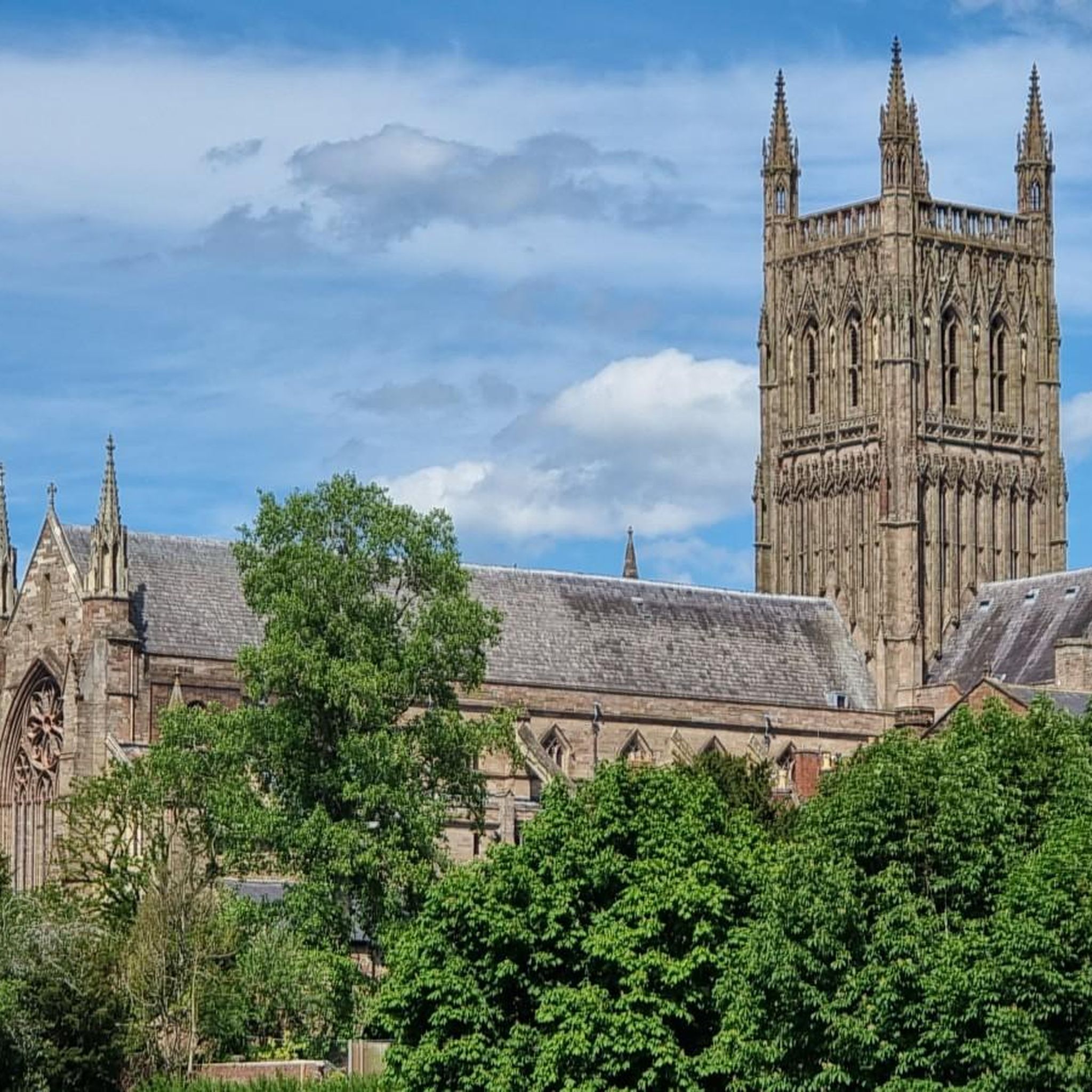
The River Severn flows through Worcester City, overlooked by Worcester Cathedral on its western side.
0
0

The ferry is open on Saturday afternoons (also Sunday and Monday on Bank Holiday weekends) from April - September. The boat is called Doris and has been recently renovated. It costs just 50p to cross the river.
0
0

The new gates replaced old wooden doors and have been much admired by local residents and visitors to the Cathedral. The gates are on the bank of the river Severn and the area is often deep in water during winter floods. The gates permit the free flow of water through the archway in times of extreme flood.
0
0
The swan is set on a plain cylindrical column within a circular area of cobbles. The swan stands facing the river, one foot raised to support a shield with the arms of Kleve shown in low relief. Its neck arches backwards and then forwards as its beak points out across the river, and its wings stretch upwards and outwards. The swan is the symbol of the town of Kleve in Germany, one of the two towns twinned with Worcester (the other being Le Vesinet, France).
0
0

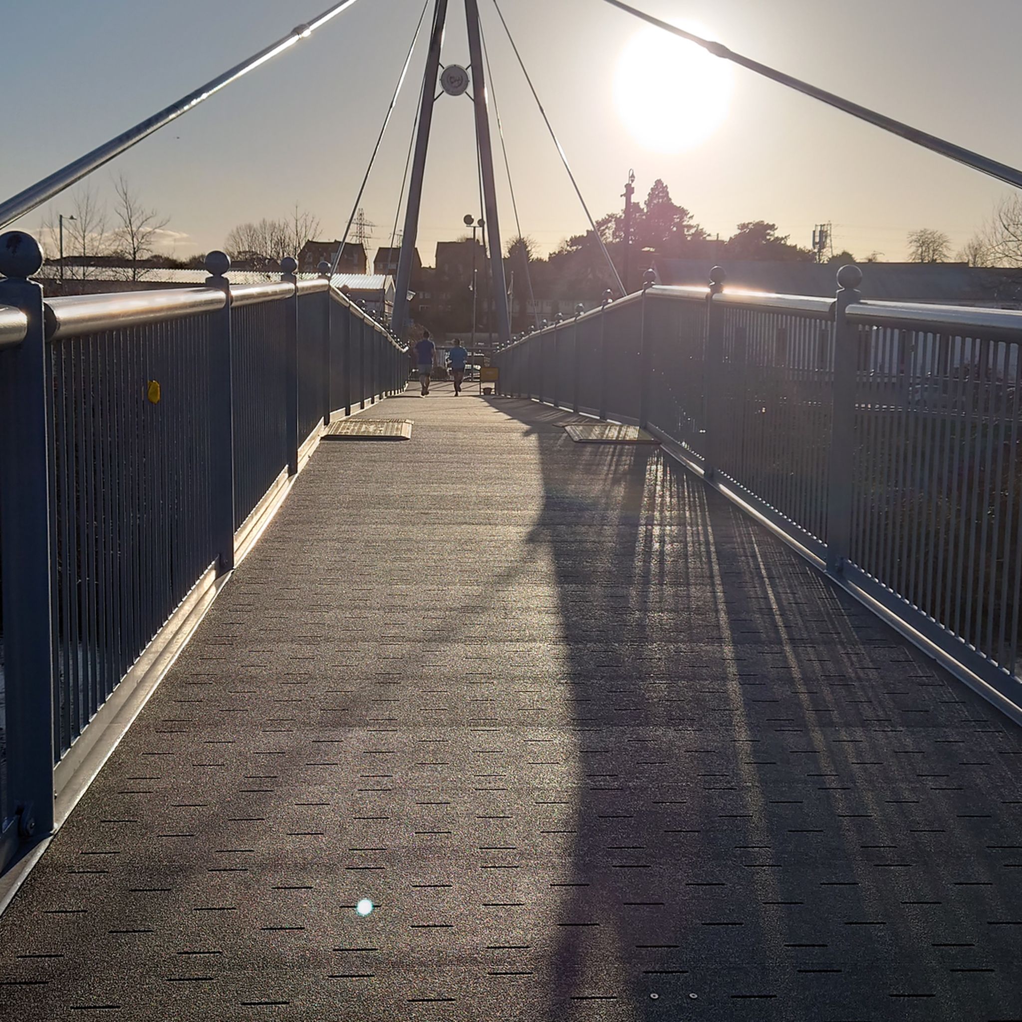
The River Severn flows through the heart of the city of Worcester - often flooding over the winter months. It's the longest river in Britain, at 220 miles, running from Pumlumon Fawr in the Cambrian Mountains to the Severn Estuary.
0
0
Frequently Asked Questions
How many hiking trails are available around Broadheath?
Broadheath offers a wide variety of hiking opportunities, with nearly 300 routes available. These range from easy riverside strolls to more moderate paths through woodlands and open countryside, ensuring options for different fitness levels.
Are there easy hiking trails suitable for beginners or casual walkers in Broadheath?
Yes, Broadheath is well-suited for easy walks. Over 180 of the available routes are classified as easy. Many of these follow the flat, picturesque paths along the River Severn and River Salwarpe, such as the Diglis Bridge – River Severn Footbridge loop from Worcester, which is 6.2 km long.
What kind of terrain can I expect on hikes around Broadheath?
The terrain around Broadheath is quite varied. You'll find flat riverside paths, sections along canals, and gentle slopes through woodlands and open fields. While generally low in elevation, some paths can be uneven or muddy, especially after rain, so appropriate footwear is recommended.
Are there any circular hiking routes in Broadheath?
Yes, many of the hiking routes around Broadheath are circular, allowing you to start and end at the same point. Examples include the Bevere Lock Weir Exit – Bevere Green loop from Charles Hastings, which explores riverside and green spaces, and the View of the River Severn – Hawford Canal loop from Bevere Lock.
What are some notable natural features or landmarks to see while hiking near Broadheath?
Hikers can enjoy the scenic River Severn and River Salwarpe, as well as the Worcester Birmingham Canal. In the distance, the dramatic Malvern Hills are often visible, offering a stunning backdrop. For those interested in local history, the Elgar Birthplace Museum in Lower Broadheath is a cultural attraction. You can also explore highlights like North Hill Summit or Table Hill (375 m) in the nearby Malvern Hills.
Are the hiking trails around Broadheath suitable for families with children?
Many of the easier routes along the rivers and through woodlands are ideal for families. The relatively flat terrain and shorter distances make them accessible for children. Consider routes that incorporate open spaces for play or offer interesting sights like the riverboats.
Can I bring my dog on the hiking trails in Broadheath?
Broadheath is generally very dog-friendly, with many trails suitable for walks with your canine companion. Most paths through the countryside and along the rivers are open to dogs, though it's always advisable to keep them on a lead, especially near livestock or in nature conservation areas.
What do other hikers say about the trails in Broadheath?
The hiking experience in Broadheath is highly regarded by the komoot community, with an average rating of 4.5 stars from over 300 reviews. Hikers often praise the peaceful riverside paths, the varied scenery of woodlands and canals, and the accessibility of the routes for different abilities.
Are there any longer, more challenging hikes available for experienced hikers?
While most routes are easy to moderate, there are longer options for those seeking more challenge. For example, the River Severn Footbridge – Bevere Lock Weir Exit loop from Worcester Foregate Street is a moderate 13.8 km trail. For truly challenging terrain and significant elevation, the nearby Malvern Hills offer more demanding hikes, though these may require a short drive from Broadheath.
Is public transport an option for accessing hiking trails in Broadheath?
Broadheath is a village, and while local bus services connect it to nearby towns like Worcester, direct public transport access to specific trailheads might be limited. Many routes are easily accessible from Worcester, which has better public transport links. Planning your route in advance and checking local bus schedules is recommended.
Where can I find parking for hiking trails in Broadheath?
Parking availability varies by trailhead. In Broadheath itself, you may find roadside parking or small public car parks. For routes starting closer to Worcester, there are more established parking facilities. Always check local signage for parking restrictions and fees.
What is the best season for hiking in Broadheath?
Broadheath offers enjoyable hiking year-round. Spring brings blooming wildflowers and fresh greenery, while autumn showcases beautiful fall foliage. Summer is pleasant for longer walks, and even winter can be charming, though some paths may be muddy. Always check weather conditions before heading out.
Most popular attractions around Broadheath

Get inspired with the komoot mobile app


Explore more
Browse the best Hikes in other regions.
