The best walks and hikes around Zehrental
4.6
(1328)
4,711
hikers
290
hikes
Hiking trails around Zehrental traverse a landscape shaped by diverse ecosystems and historical significance. The region features the Green Belt, a valuable biotope network along the former Inner German border, now a natural monument. Hikers encounter varied terrain, including the floodplains of the Lower Saxony Elbe Valley Biosphere Reserve, expansive heathlands like Nemitzer, and unique inland dunes. Water bodies such as Lake Gartow and the Elbe River also define the area's natural environment.
Best hiking trails around Zehrental
- The most…
Last updated: May 15, 2026
5.0
(11)
29
hikers
8.61km
02:11
20m
20m
Moderate hike. Good fitness required. Easily-accessible paths. Suitable for all skill levels.
4.8
(6)
23
hikers
9.86km
02:29
10m
10m
Moderate hike. Good fitness required. Easily-accessible paths. Suitable for all skill levels.

Sign up for free
4.8
(4)
18
hikers
Easy hike. Great for any fitness level. Easily-accessible paths. Suitable for all skill levels.
5.0
(3)
10
hikers
5.17km
01:18
10m
10m
Easy hike. Great for any fitness level. Easily-accessible paths. Suitable for all skill levels.
4.6
(5)
15
hikers
7.67km
01:56
10m
10m
Easy hike. Great for any fitness level. Easily-accessible paths. Suitable for all skill levels.
Get access to more routes and recommendations from other explorers.
Sign up for free
Already have an account?
Our route recommendations are based on thousands of hikes, rides, and runs completed by other people on komoot.
Start today with a free account
Your next adventure awaits.
Login or Signup
Tips from the Community

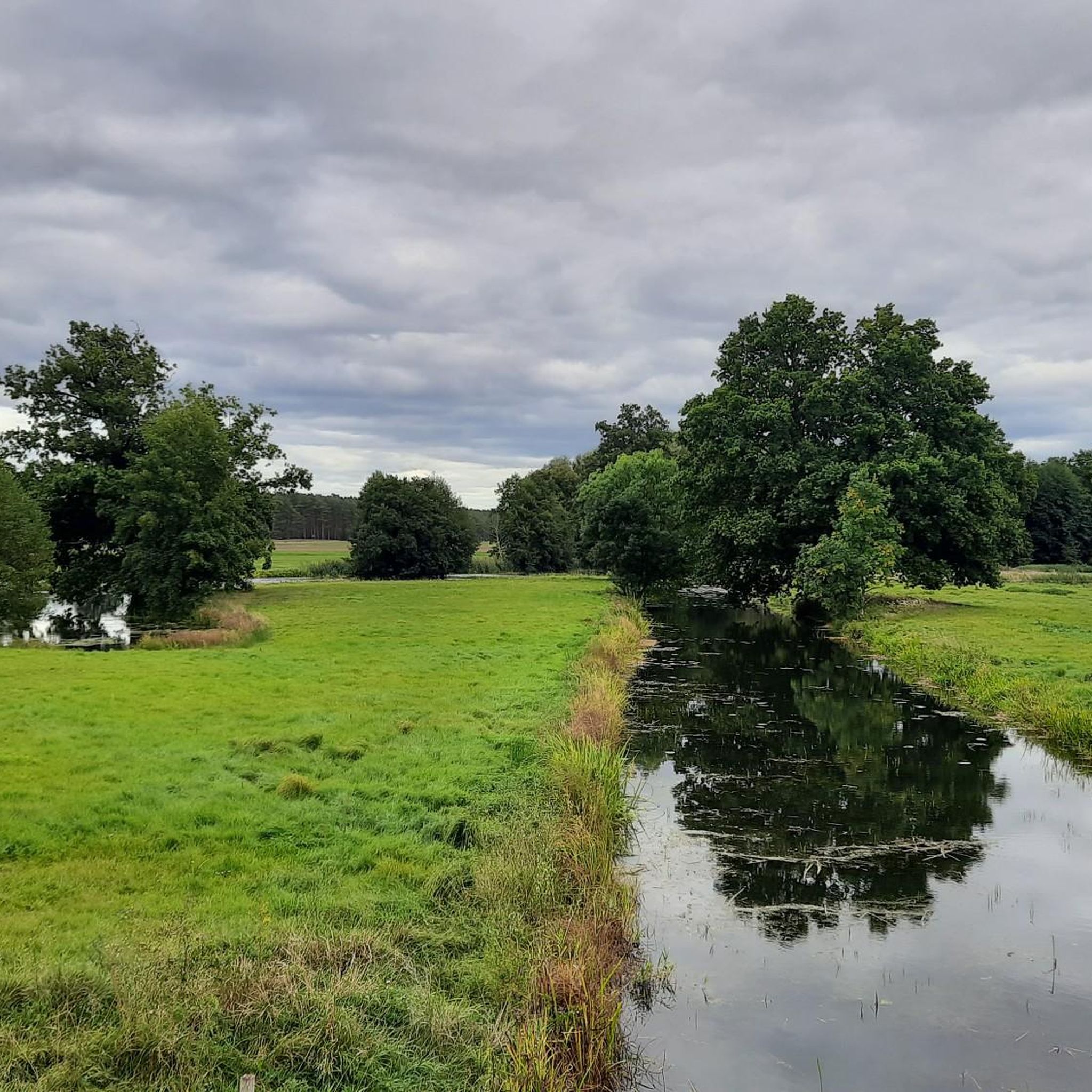
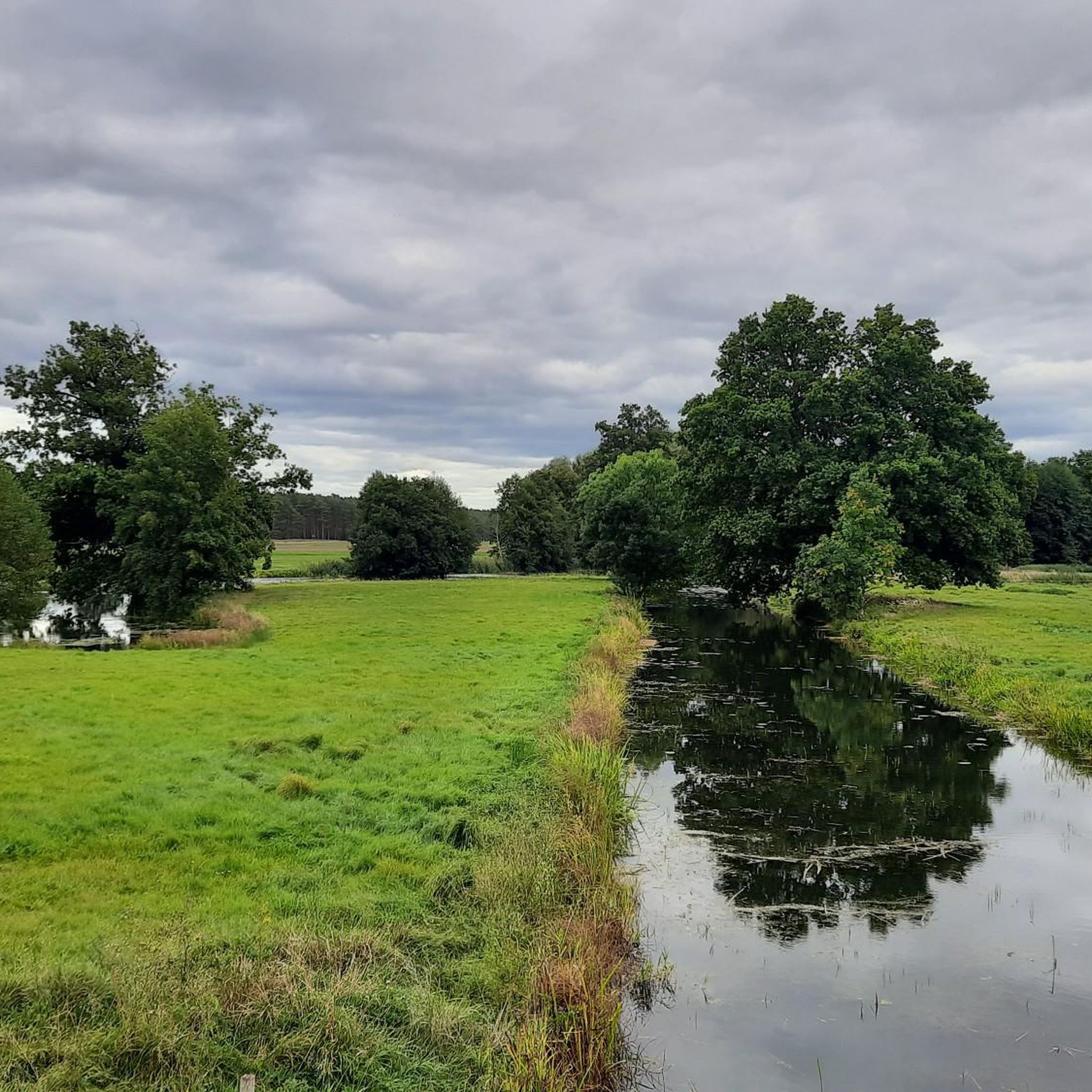
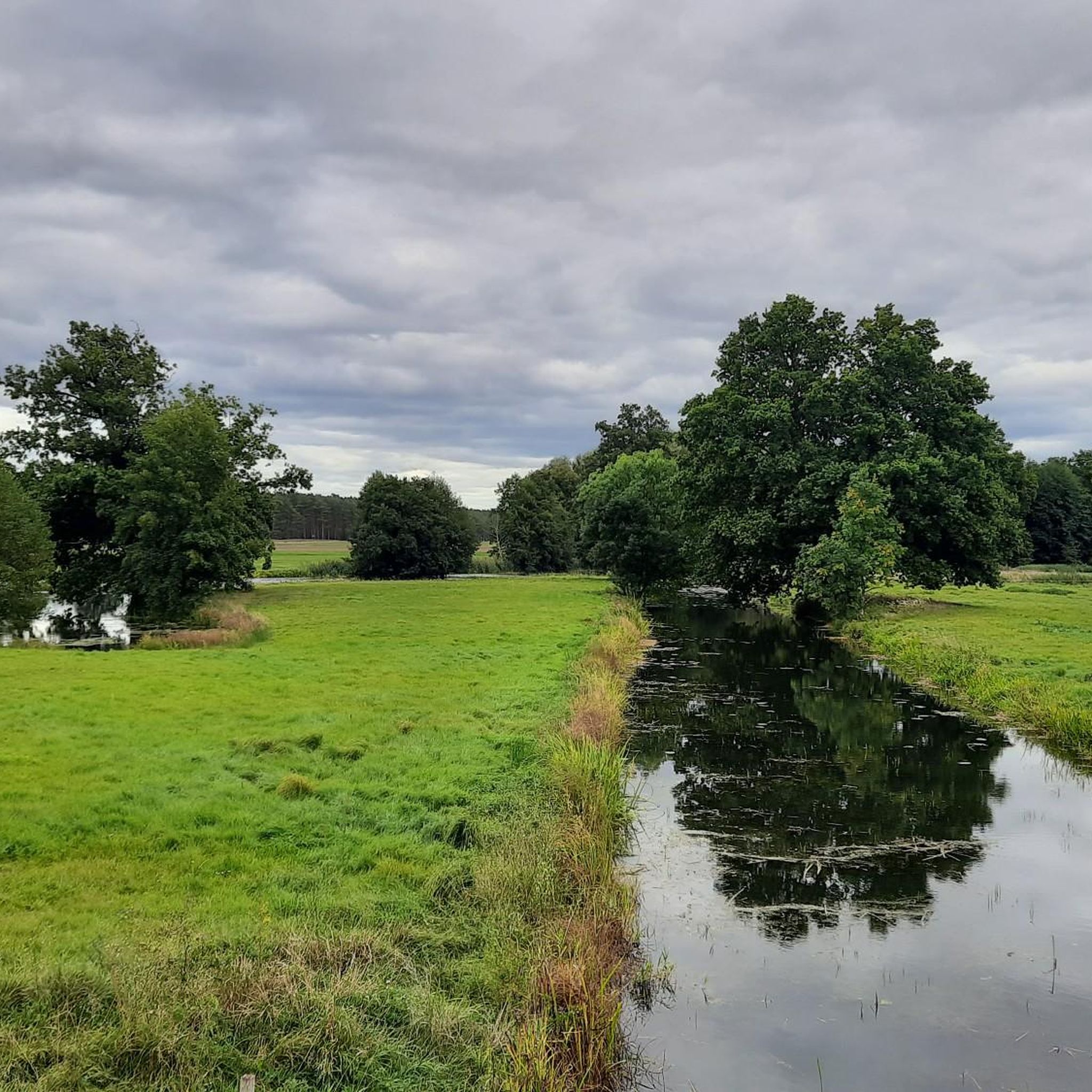
Actually, there are two lakes. Beautifully situated in the landscape, on the Green Belt, the former border strip between West Germany and East Germany. The beautiful river Aland also flows past here. Here you also have good opportunities to observe and photograph birds and wild animals. On my bike tours, I always enjoy cycling past here and like to make a stopover here.
0
0

a new, more stable blue bench now stands in this memorable place
0
0
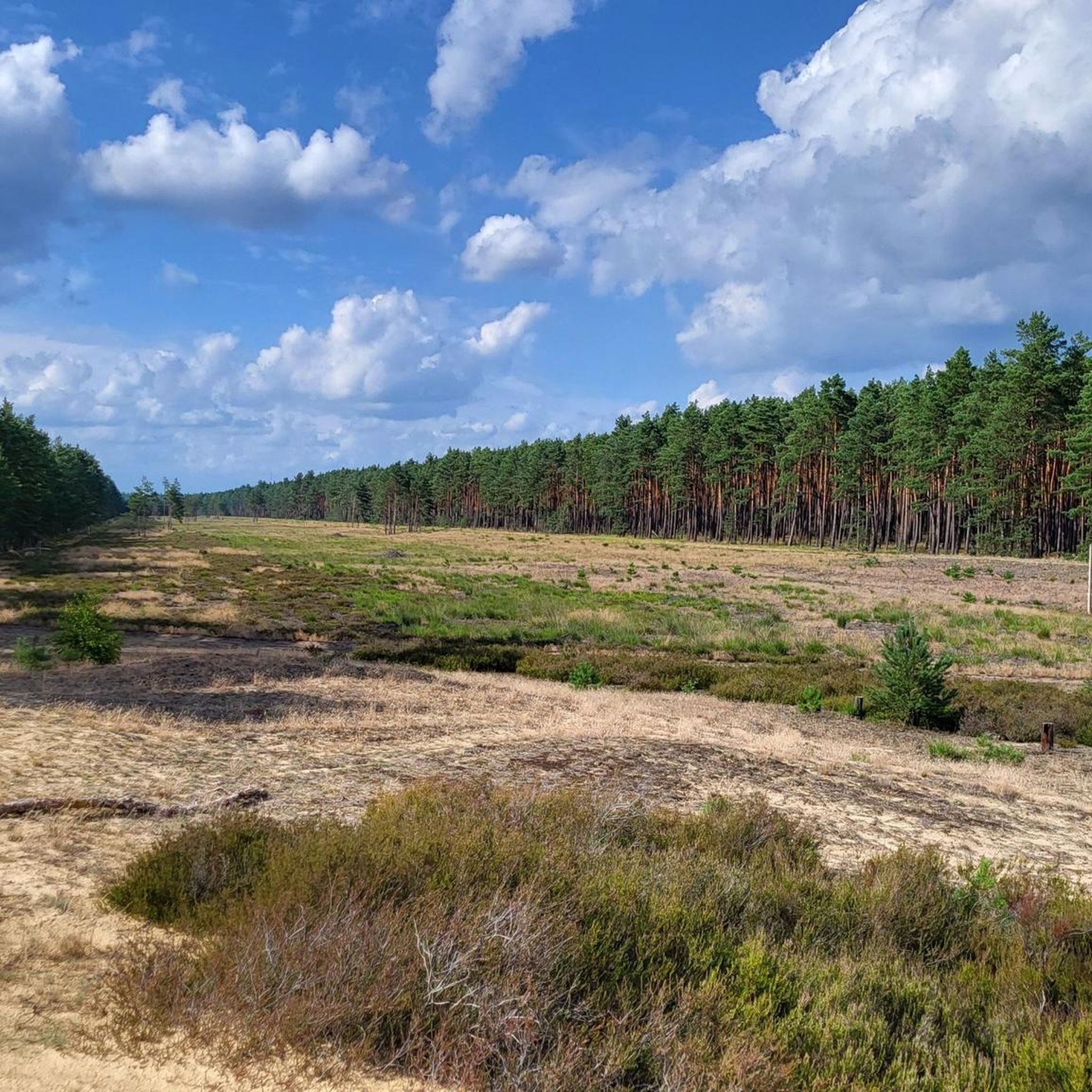
At this point, the West German area jutted pointedly into the GDR, the next place in the West is Wirl, hence Wirler Spitze as it seems, it was one of many visitor points to look into the East. Opposite the Spitze on the Kolonnenweg stood an observation tower (BT) a small sand hill or dune named Klocksberg, here you can move freely today, in all directions! There are some nature conservation projects: biotopes, pulling pines, etc. It should also be a place of remembrance and reflection. 2 posts of the border fence have remained
0
0
Border signal and barrier fence GSSZ II once almost unreachable, almost insurmountable.. today "wild boar field" and accessible to everyone
0
0

Observation of waterfowl and cranes is possible.
0
0

Windmills have existed in Wanzer since at least 1611. This particular windmill was built in 1805, though originally in Pollitz, 3 km away. It was moved to Wanzer in 1868 and is now maintained by many volunteers. We were lucky enough to witness an interior inspection.
0
0

Hikers heading towards Wirler Spitze should take the BGS trail and not the bridle path suggested by komoot.
0
0
On the Altmark side, there is a rest area, unfortunately only in the shade, with information about nature conservation along the Green Belt.
0
0
Frequently Asked Questions
How many hiking trails are available in Zehrental?
Zehrental offers a wide variety of hiking opportunities, with over 290 routes to explore. These range from easy strolls to more challenging paths, ensuring there's something for every skill level.
Are there hiking trails suitable for beginners or families in Zehrental?
Yes, Zehrental is very accommodating for beginners and families. There are over 120 easy routes, such as the Alandauen Nature Reserve – Aulosen Observation Tower loop from Stresow, which is 4.0 miles (6.5 km) long and takes about 1 hour 37 minutes. Many paths are easily accessible and suitable for various fitness levels.
What unique natural features can I expect to see while hiking in Zehrental?
Zehrental is rich in diverse natural landscapes. You can explore the unique biotope network of the Green Belt, which follows the former Inner German border. Other notable features include the expansive Nemitzer heathland, the Lower Saxony Elbe Valley Biosphere Reserve, and the inland dune at Wirler Spitze and Klocksberg Dune. Scenic water bodies like Gartower Lake and the Elbe River also define the area's natural beauty.
Are there any historical sites or memorials along the hiking routes in Zehrental?
Yes, Zehrental's history as part of the former inner-German border is reflected in several sites. You can encounter memorials like the Simon Cross Memorial – GDR Border Marker 324 loop from Ziemendorf, the Wirler Spitze – Green Belt Memorial, and the Stresow Memorial and Border Site. The historical Wanzer Post Mill also adds a cultural element to the natural surroundings.
Can I find circular hiking routes in Zehrental?
Yes, many of the hiking trails in Zehrental are circular routes, offering convenient starting and ending points. Examples include the popular View of Lake Gartow – Klaus Bahlsen Tower loop from Nienwalde and the Blue Bench at the Green Belt loop from Ziemendorf.
What do other hikers say about their experience in Zehrental?
The hiking routes in Zehrental are highly rated by the komoot community, with an average score of 4.6 stars from over 1200 reviews. Hikers often praise the diverse terrain, the historical significance of the Green Belt, and the well-maintained paths that cater to various skill levels.
Are dogs allowed on the hiking trails in Zehrental?
Generally, dogs are welcome on hiking trails in Zehrental. However, it's always advisable to keep them on a leash, especially in nature reserves like the Alandauen Nature Reserve or areas with wildlife, to protect both your pet and the local ecosystem. Please check local signage for any specific regulations.
What are some notable viewpoints or observation towers in the region?
For scenic views, you can visit the View of Lake Gartow, which is part of the Klaus Bahlsen Tower loop. The Aulosen Observation Tower is another excellent spot, particularly for birdwatching, offering views of waterfowl and cranes.
What is the best time of year to go hiking in Zehrental?
Zehrental offers enjoyable hiking experiences throughout much of the year. Spring and autumn are particularly pleasant, with mild temperatures and beautiful natural colors. Summer is also suitable, especially for walks around Lake Gartow or through shaded forest paths. Winter hikes can be serene, especially in areas like the Nemitzer Heathland, but be prepared for colder conditions.
Are there any long-distance hiking trails that pass through Zehrental?
Yes, Zehrental is traversed by several well-defined long-distance routes. The Wendland Circular Trail (191 km) and the Wendenstieg (68.6 km) are notable examples that lead hikers through the region's diverse landscapes, including forests, heathlands, and traditional circular villages.
Where can I find parking facilities for hiking trailheads in Zehrental?
Parking is generally available near popular trailheads and attractions throughout Zehrental. Specific parking information can often be found on individual route pages on komoot or by checking local tourist information resources for towns like Gartow or Stresow.
Are there any cafes or restaurants near the hiking trails in Zehrental?
Yes, you can find cafes and restaurants in the towns and villages surrounding the hiking areas, such as Gartow. These establishments offer opportunities to refuel and relax after your hike. For specific recommendations, it's best to check local listings or inquire at tourist information centers.
Most popular attractions around Zehrental

Get inspired with the komoot mobile app


Explore more
Browse the best Hikes in other regions.
