The best cycling routes around Zapfendorf
4.7
(717)
3,168
riders
52
rides
Touring cycling routes around Zapfendorf traverse the scenic Main River valley, offering paths along the river and the Main-Danube Canal. The region features rolling hills, dense forests, and diverse landscapes, providing varied terrain for cyclists. It borders the Franconian Switzerland-Veldenstein Forest Nature Park, contributing to its natural appeal with expansive views towards the prominent Staffelberg mountain.
Best touring cycling routes around Zapfendorf
- The most popular touring cycling route is Bad Staffelstein Town Hall – View of Staffelberg loop from Reuthlos, a 51.3 miles (82.5 km) trail that takes 4 hours 54 minutes to complete, offering views towards Staffelberg.
- Another top favourite among local touring cyclists is Lower bridge – Old Town Bamberg loop from Zapfendorf, a moderate 43.0 miles (69.2 km) path that leads through the historic Old Town of Bamberg.
- Local touring cyclists also love the West Lake, Bad Staffelstein – View of Kloster Banz loop from Zapfendorf, a 30.5 miles (49.1 km) trail leading through the picturesque Main River valley, often completed in about 2 hours 52 minutes.
- Touring cycling around Zapfendorf is defined by the Main River valley, rolling hills, and the Main-Danube Canal. The network offers options for both leisurely rides and more challenging routes.
- The routes in Zapfendorf are highly rated by the komoot community with an average score of 4.8 stars from over 700 reviews. More than 3000 touring cyclists have used komoot to explore Zapfendorf's varied terrain.
Last updated: October 7, 2026
4.4
(83)
315
riders
Moderate bike ride. Good fitness required. Mostly paved surfaces. Suitable for all skill levels.
4.5
(479)
2,090
riders
68.9km
03:59
220m
220m
Moderate bike ride. Good fitness required. Mostly paved surfaces. Suitable for all skill levels.

4.2
(14)
45
riders
27.1km
01:38
180m
180m
Moderate bike ride. Good fitness required. Mostly paved surfaces. Suitable for all skill levels.
4.3
(13)
96
riders
63.3km
03:44
280m
280m
Moderate bike ride. Good fitness required. Mostly paved surfaces. Suitable for all skill levels.
4.5
(11)
52
riders
Easy bike ride. Great for any fitness level. Mostly paved surfaces. Suitable for all skill levels.
Get access to more routes and recommendations from other explorers.
Already have an account?
Our route recommendations are based on thousands of hikes, rides, and runs completed by other people on komoot.
Start today with a free account
Your next adventure awaits.

Tips from the Community

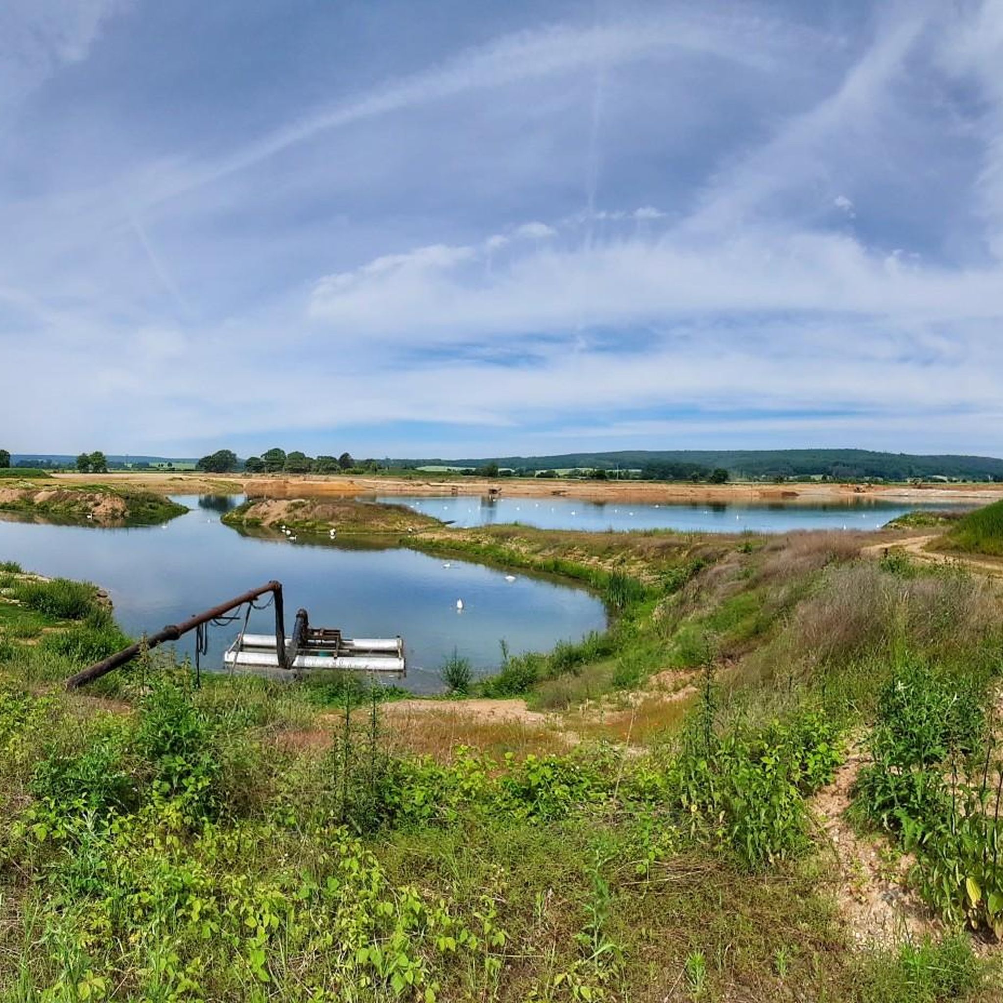
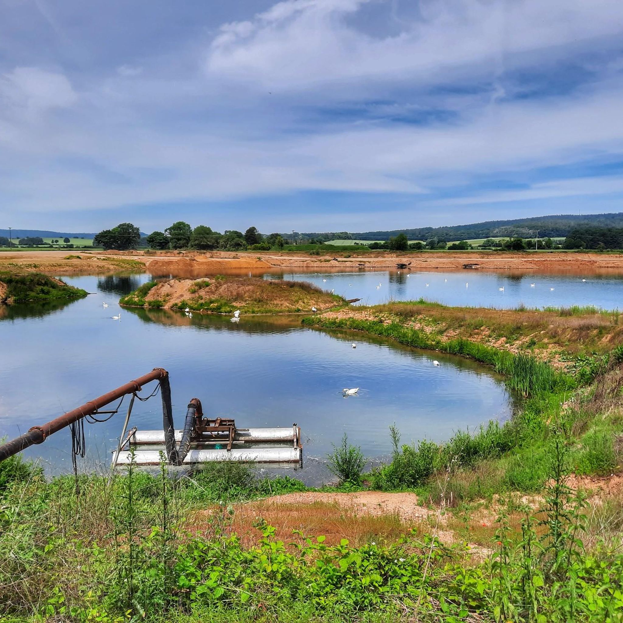
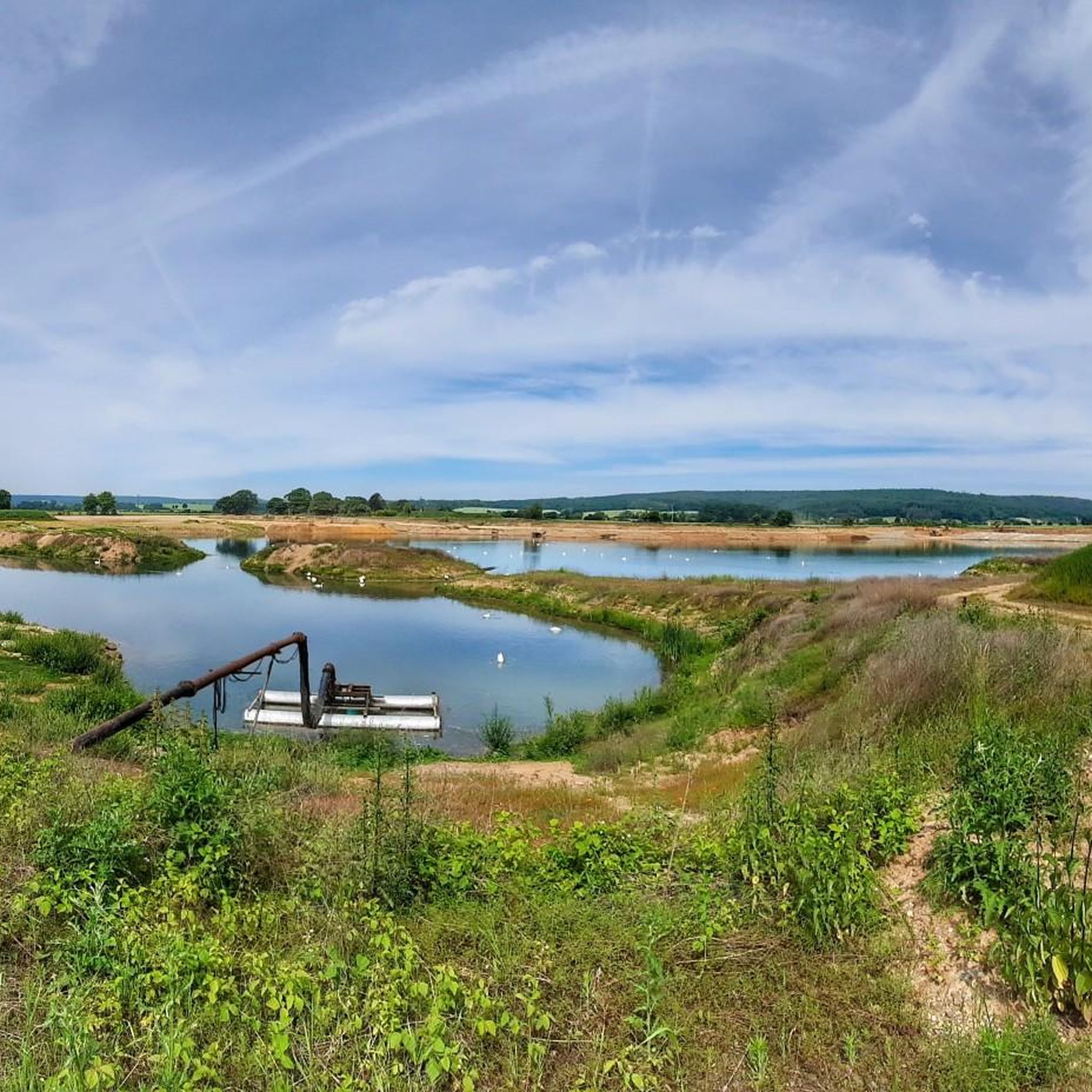
This lake was created very beautifully.
0
0

The ensemble within the 14th and 15th century fortification ring developed from the earliest mention of the present settlement around 800. The town parish church of St. Kilian was founded centrally within it even before 1007. In 1130, the settlement received market rights, a good 250 years later full jurisdiction. From 1422, the town's fortifications were built. In 1473, the town burned down, including the parish church and the town hall. In the Thirty Years' War, in 1684, almost the entire place fell prey to the flames again. The symbol of the subsequent reconstruction is the town hall from 1686/87. Of particular importance is the cohesive appearance of the buildings, which is shaped by the reconstruction after the town fire of 1684. These typically include two-storey front houses, often with gables facing the street, featuring decorative half-timbering on the upper floor. In addition to wall remnants, the Bamberger Torturm gate tower, dating back to the 16th century in its core, has been preserved from the town's fortifications.
7
0

Beautiful chapel from the late Baroque period. The exterior alone is worth a detour if you are nearby. Unfortunately, I could not visit the interior.
0
0
Now that the Staffelberg has been cleared of some of the trees, it shows off well.
1
0

The harbor quay at the cranes served as a hub and transshipment point between land and water routes. As a landing place, here is the sandstone quay wall, which was rebuilt during the construction of the Ludwig-Danube-Main Canal between 1836 and 1845. In this context, the two medieval cranes were replaced in 1864 by two iron cranes manufactured by the company J. W. Späth, Nürnberg-Dutzendteich.
6
0

It's beautiful to see how the Itz River meanders alongside the cycle path for a long stretch.
0
0
It's really very nice to drive.
3
0
Frequently Asked Questions
How many touring cycling routes are available around Zapfendorf?
There are over 50 touring cycling routes to explore around Zapfendorf, catering to various skill levels. You'll find a good mix of easy, moderate, and challenging options.
What kind of terrain can I expect on touring cycling routes in Zapfendorf?
The routes in Zapfendorf offer diverse terrain. You can expect leisurely rides along the scenic Main River valley and the Main-Danube Canal, as well as routes that traverse rolling hills and picturesque landscapes, providing options for different preferences.
Are there any easy touring cycling routes suitable for beginners or families?
Yes, Zapfendorf offers 23 easy touring cycling routes, perfect for beginners or families looking for a relaxed ride. These often follow the river valleys, providing gentle gradients and beautiful scenery. The Cycle Path to Ebensfeld – Itz River Cycle Path loop from Zapfendorf is a moderate option that can be enjoyed by those looking for a slightly longer, but still manageable, ride.
What are some notable attractions or landmarks I can see along the cycling routes?
Many routes pass by historical and natural attractions. You might encounter the magnificent 18th-century Baroque Seehof Castle, or the historic Giechburg. Natural highlights include the Breitengüßbacher See recreational area. For specific natural features, consider routes that pass by the Hohler Stein rock formation or the Ivy-Covered Grotto by the Main River.
Are there any circular touring cycling routes around Zapfendorf?
Yes, many of the touring cycling routes around Zapfendorf are designed as loops, allowing you to start and end in the same location. A popular moderate circular route is the Bad Staffelstein Town Hall – View of Staffelberg loop from Zapfendorf, which takes you through the picturesque Main River valley.
What is the typical length and duration of touring cycling routes in this area?
Route lengths vary significantly. You can find shorter rides like the Cycle Path to Ebensfeld – Itz River Cycle Path loop from Zapfendorf at about 27 km (17 miles) taking around 1 hour 38 minutes. Longer routes, such as the Rothenberg Gate Tower – Itz River Cycle Path loop from Zapfendorf, can be over 85 km (53 miles) and take more than 5 hours to complete.
What do other cyclists say about touring cycling in Zapfendorf?
The touring cycling routes in Zapfendorf are highly regarded by the komoot community, with an average rating of 4.8 out of 5 stars from over 700 reviews. Cyclists often praise the diverse landscapes, well-maintained paths, and the scenic beauty of the Main River valley.
Can I bring my dog on the touring cycling routes?
While specific regulations can vary, generally, dogs are welcome on many cycling paths in the Zapfendorf region, especially those in natural areas. It's always recommended to keep your dog on a leash and ensure they are comfortable with longer distances. Please be mindful of other cyclists and pedestrians.
Are there places to stop for refreshments or a meal along the routes?
Yes, the region is known for its hospitality. You'll find opportunities to stop at traditional beer cellars, especially along the MainRadweg, and places like the Giechburg offer gastronomy. The Staffelberg Inn is another option for a break.
What is the best season for touring cycling in Zapfendorf?
The spring, summer, and early autumn months are ideal for touring cycling in Zapfendorf. During these seasons, the weather is generally pleasant, and the landscapes, including the 'Obstparadies Bamberger Land' with its fruit trees, are at their most vibrant. The Main River valley and vineyards are particularly beautiful during these times.
How accessible are the Zapfendorf cycling routes by public transport?
Zapfendorf is a town with public transport connections, making it possible to reach the starting points of many cycling routes. For specific route access, it's advisable to check local bus and train schedules, especially if you plan to combine your ride with public transport.
Are there any challenging touring cycling routes for experienced riders?
Yes, for experienced riders seeking more of a challenge, there are 10 difficult touring cycling routes available. These routes typically feature more significant elevation gains and longer distances, such as the Rothenberg Gate Tower – Itz River Cycle Path loop from Zapfendorf, which includes over 440 meters of elevation gain.
Most popular routes around Zapfendorf
Most popular attractions around Zapfendorf

Get inspired with the komoot mobile app


Explore more
Browse the best Cycling routes in other regions.
