The best walks and hikes around Frithville And Westville
4.1
(45)
493
hikers
44
hikes
Hikes around Frithville and Westville explore the flat, expansive fenland landscape of Lincolnshire. The region is characterized by its network of drainage channels, riverbanks, and agricultural fields, offering long-distance views under open skies. Most walking routes near Frithville Lincolnshire follow level paths along waterways like the River Witham, making them accessible for various fitness levels.
Best hiking trails around Frithville And Westville
- The most popular hiking route is Witham Way Country Park loop from Gipsey Bridge, a 5.5 mile…
Last updated: September 3, 2026
5.0
(3)
9
hikers
16.4km
04:07
20m
20m
Hike the 10.2-mile River Witham loop via Witham House, a moderate route with river views and wildlife, featuring St Botolph's Church.
4
hikers
21.7km
05:27
20m
20m
Experience the challenging 13.5-mile Boston “Stump” to Hobhole Drain loop, a difficult hike with 80 feet of elevation gain and scenic waterw

Sign up for free
21.6km
05:27
30m
30m
Hike the 13.4-mile King Charles III England Coast Path from Boston to Freiston Shore, exploring coastal landscapes and bird-rich estuaries.
7.30km
01:50
10m
10m
Easy hike. Great for any fitness level. Easily-accessible paths. Suitable for all skill levels.
14
hikers
Moderate hike. Good fitness required. Easily-accessible paths. Suitable for all skill levels.
Get access to more routes and recommendations from other explorers.
Sign up for free
Already have an account?
Our route recommendations are based on thousands of hikes, rides, and runs completed by other people on komoot.
Start today with a free account
Your next adventure awaits.
Login or Signup

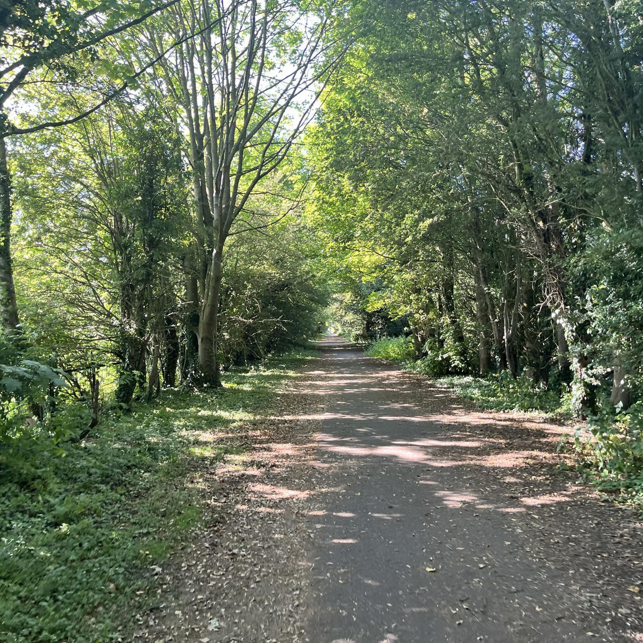
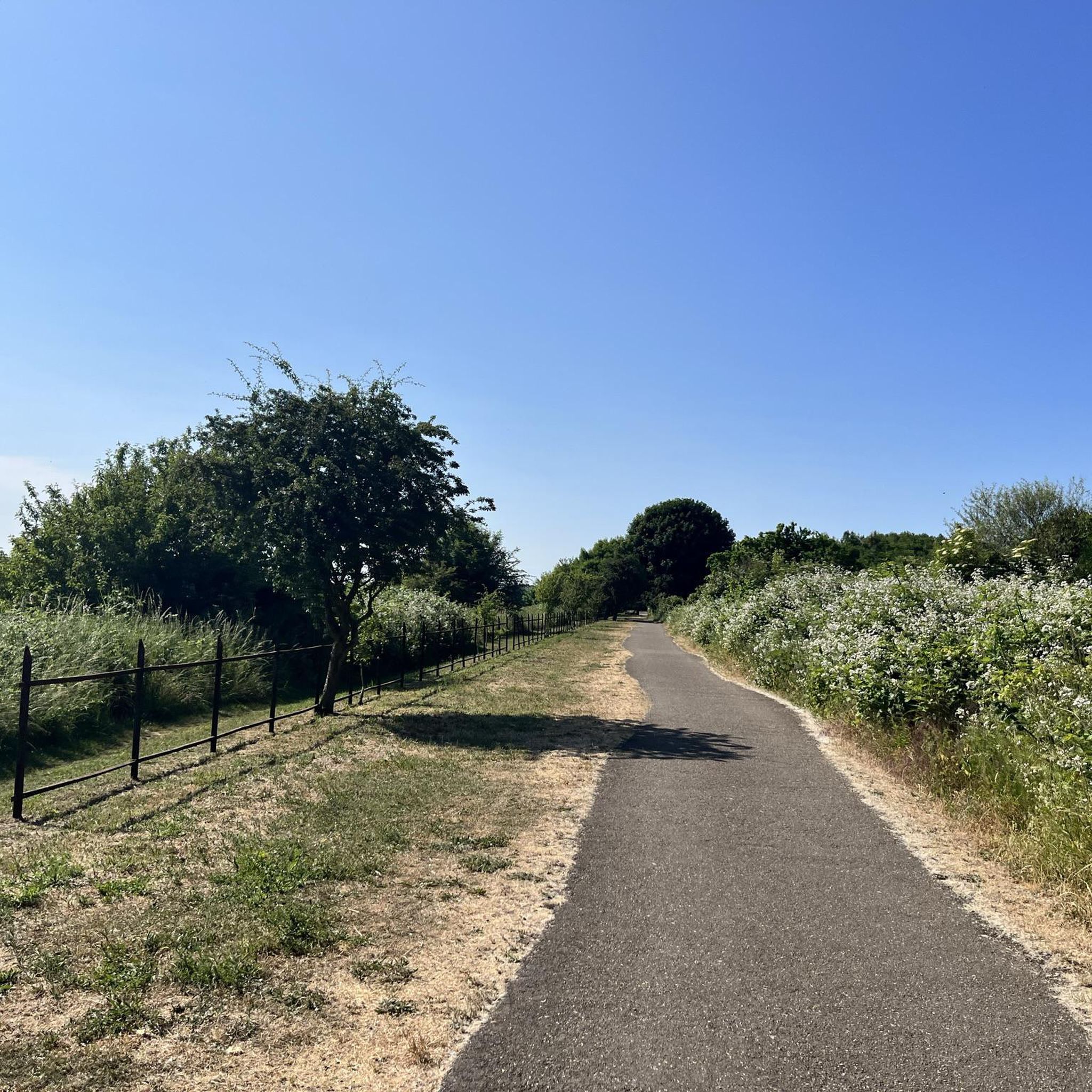
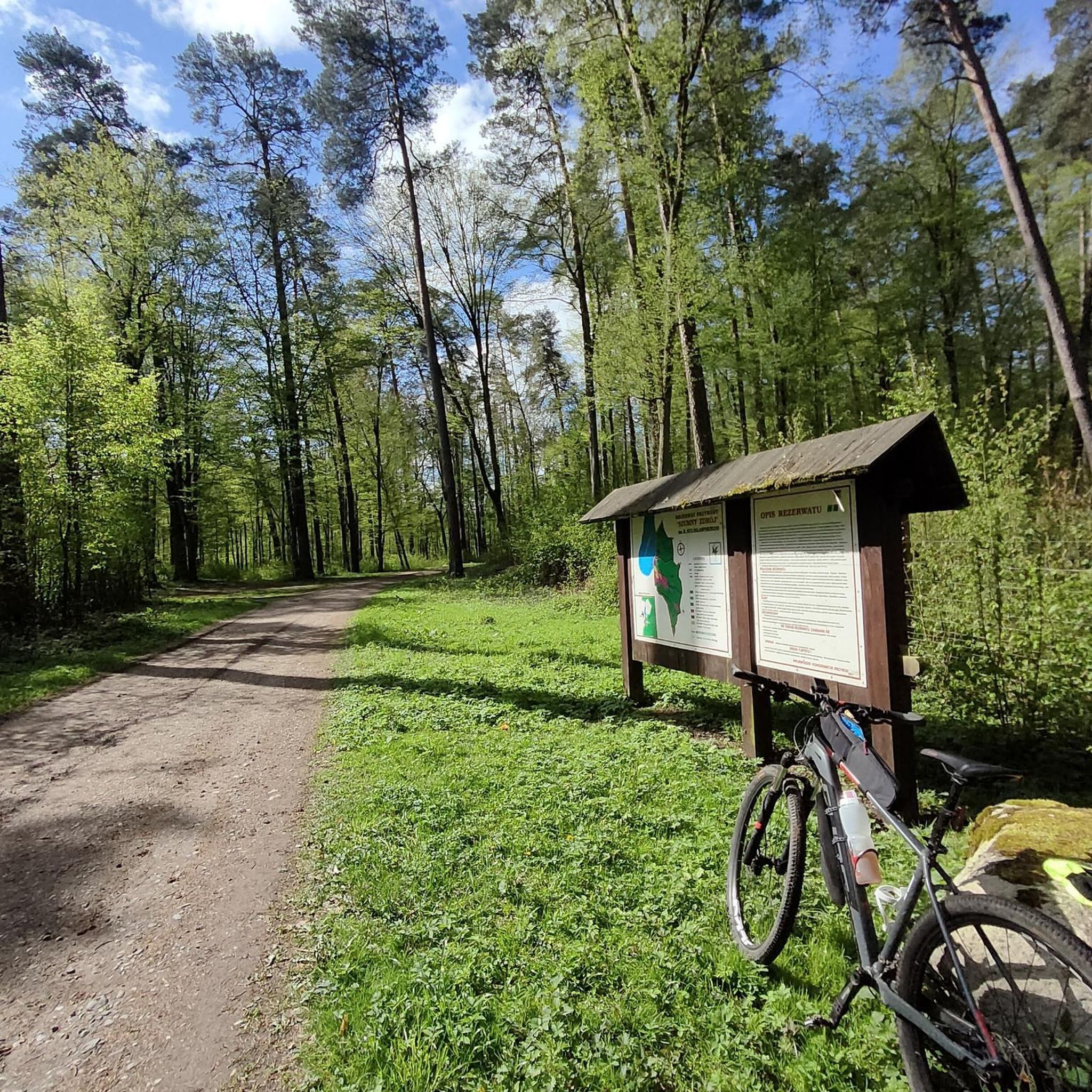
Tips from the Community


Quite a popular spot, with a small amount of seating. If using it as a cafe stop, you may have trouble getting seated during busy times.
0
0
This observation tower is named the 'Boston Pendulum' and was designed by the Belgian architect Paul Robbrecht. It is one of two towers on the Water Rail Way designed by Robbrecht. The other is positioned at the Lincoln end of the trail and is titled 'Lincoln Stump'. It is an interesting place to stop and take a look at the surrounding countryside.
0
0

Some fabulous waterway wildlife to lookout for here. Lovely princess gravel too 💅🚵♀️
1
0

Benton's Bridge stretches across the North Forty Foot Drain and provides some lovely views up and down the waterway.
1
0
Beautiful views over North Forty Foot Drain, a long drainge channel located near Boston.
1
0
A beautiful lonely footpath leads you to the mouth of The Haven river where you can enjoy soaring across The Scalp to your right and out ahead to the North Sea.
3
0
Gorgeous footpath along Macmillan Way where you can enjoy expansive views across The Haven river.
1
0
Frequently Asked Questions
What is the terrain like for hiking around Frithville and Westville?
The landscape is predominantly flat fenland, characterized by open skies and long-distance views. Most walks follow level paths along riverbanks, like the River Witham, and across agricultural fields. This makes the area very accessible, though you can find more varied terrain with rolling hills in the nearby Lincolnshire Wolds.
Are there many walking trails to choose from?
Yes, there are nearly 50 hiking routes in the area. The majority are easy or moderate, perfect for a relaxed day out. You'll find a handful of more challenging, longer trails for those seeking a bigger adventure.
Are there any good circular walks?
Definitely. While many routes follow waterways out-and-back, there are excellent loop trails available. For a longer day out, the River Witham loop via Witham House is a 10-mile circuit that takes you through quiet farmland and along the river.
Can I take my dog on the trails?
Many trails in the area are suitable for dogs, but it's always best to keep them on a lead, especially near farmland and wildlife reserves. Witham Way Country Park is a popular spot with dog walkers and has enclosed areas where dogs can run off-leash.
Are there any family-friendly hikes near Frithville and Westville?
Yes, the flat terrain is ideal for walking with children. The North Forty Foot Drain loop is an easy and relatively short walk along a waterway, making it a great option for a family outing.
What is the Water Rail Way path like?
The Water Rail Way is a well-maintained, mostly flat path that follows the course of the River Witham. It's shared by walkers and cyclists and is known for its peaceful atmosphere and views of the fenland. Along the way, you'll pass points of interest like Antons Gowt Lock.
Where can I find good views or scenery?
While the fenlands offer unique 'big sky' scenery, for classic rolling countryside views you'll need to travel a short distance to the Lincolnshire Wolds AONB. For a different kind of beauty, the coastal nature reserves like Gibraltar Point offer stunning landscapes of dunes and saltmarsh.
Are there any challenging long-distance hikes?
Yes. For a substantial challenge, you can tackle The Haven via Macmillan Way. This difficult 13.4-mile route explores the area south of Boston towards the coast, offering a full day of hiking.
What do other hikers think of the trails in this area?
The routes around Frithville and Westville are well-regarded by the komoot community. Hikers often praise the peacefulness of the waterside paths and the unique, open landscapes of the fens.
Where are the best places for nature and wildlife spotting?
The region is excellent for wildlife. Snipe Dales Country Park is a local favorite for its varied habitats and birdlife. For coastal birds and unique ecosystems, Frampton Marsh and Gibraltar Point National Nature Reserve are must-visit destinations for any nature lover.
Can I get to any trailheads using public transport?
Yes, several routes are accessible from Boston's train station. From there, you can easily access paths along the waterways, such as the North Forty Foot Drain, making it possible to plan a hike without a car.
Are there any trails suitable for trail running?
The flat, well-maintained paths along the region's waterways, like the Water Rail Way and various drain-side tracks, are ideal for trail running. They provide long, uninterrupted stretches where you can get into a good rhythm without worrying about steep climbs.
Most popular attractions around Frithville And Westville

Get inspired with the komoot mobile app


Explore more
Browse the best Hikes in other regions.
