The best walks and hikes around Holland Fen With Brothertoft
4.4
(53)
578
hikers
53
hikes
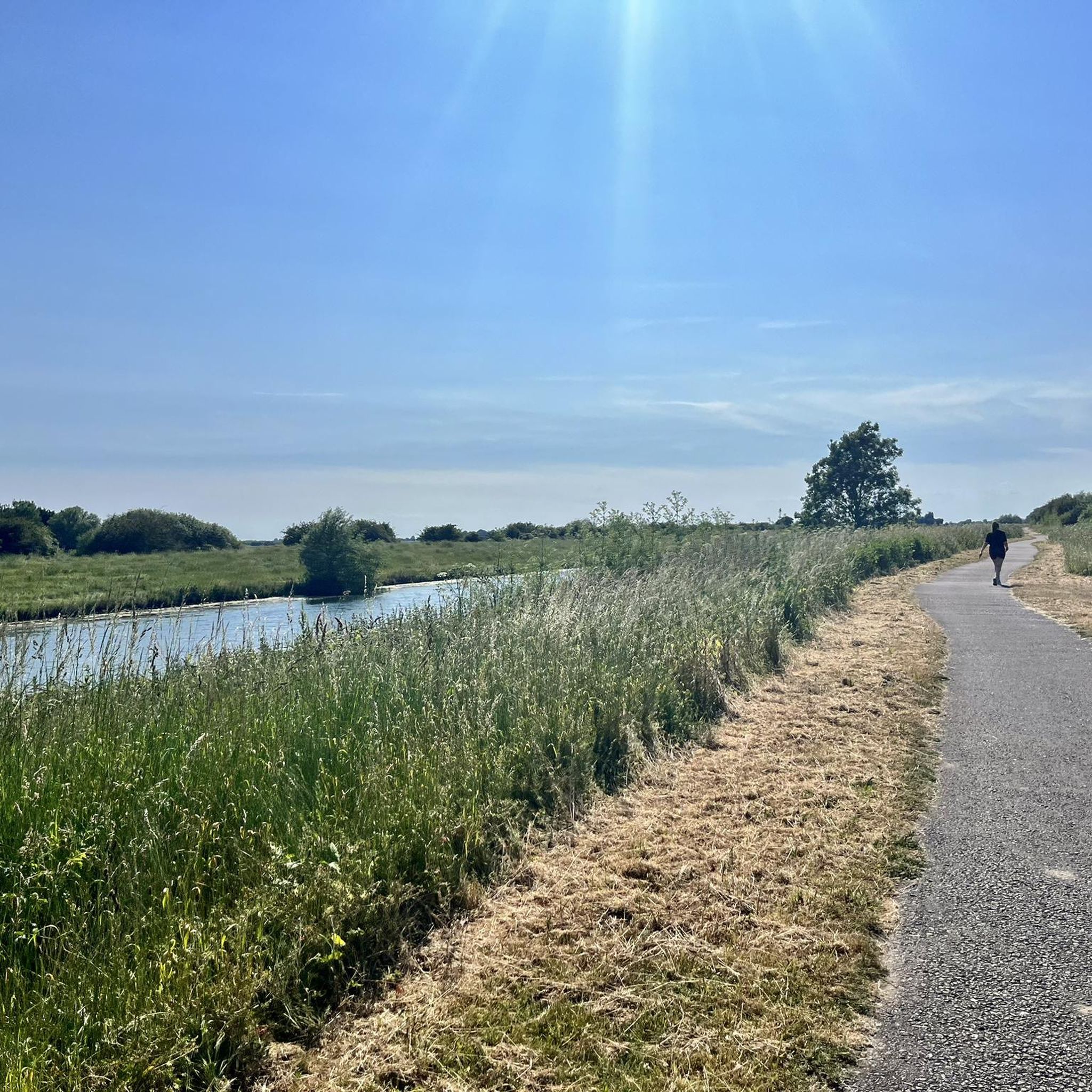
Hiking around Holland Fen With Brothertoft offers a distinctive experience within the flat, open Fenland environment. This area is characterized by its reclaimed agricultural land, extensive vistas, and level horizons, providing a sense of tranquility. The landscape is shaped by numerous waterways, including the River Witham and various drains, which are often incorporated into the walking routes. The terrain is generally flat, making paths accessible for various fitness levels.
Best hiking trails in Holland Fen With Brothertoft
- The most popular…
Last updated: July 10, 2026
5.0
(3)
9
hikers
16.4km
04:07
20m
20m
Moderate hike. Good fitness required. Easily-accessible paths. Suitable for all skill levels.
4
hikers
21.7km
05:27
20m
20m
Hard hike. Very good fitness required. Easily-accessible paths. Suitable for all skill levels.

Sign up for free
21.6km
05:27
30m
30m
Hard hike. Very good fitness required. Easily-accessible paths. Suitable for all skill levels.
7.30km
01:50
10m
10m
Easy hike. Great for any fitness level. Easily-accessible paths. Suitable for all skill levels.
4.5
(4)
37
hikers
3.50km
00:53
0m
0m
Easy hike. Great for any fitness level. Easily-accessible paths. Suitable for all skill levels.
Get access to more routes and recommendations from other explorers.
Sign up for free
Already have an account?
Our route recommendations are based on thousands of hikes, rides, and runs completed by other people on komoot.
Start today with a free account
Your next adventure awaits.
Login or Signup




Other adventures around Holland Fen With Brothertoft

Tips from the Community


Benton's Bridge stretches across the North Forty Foot Drain and provides some lovely views up and down the waterway.
1
0
Beautiful views over North Forty Foot Drain, a long drainge channel located near Boston.
1
0
A beautiful lonely footpath leads you to the mouth of The Haven river where you can enjoy soaring across The Scalp to your right and out ahead to the North Sea.
3
0
Gorgeous footpath along Macmillan Way where you can enjoy expansive views across The Haven river.
1
0
Gorgeous views across River Witham as you approach Boston.
1
0
Enjoy a wonderful stretch of flat, traffic-free, walking along Water Rail Way. The pathway runs alongside the serene River Witham and provides expansive views across the gorgeous surrounding fens landscapes. There are various viewing platforms along the route as well as some impressive art scultpures to discover.
2
0

St Botolph's Church is better known locally as Boston Stump. The octagonal 81 metre spire can be seen for miles around, even off the coast of Norfolk. The church is the largest parish church in England and has one of the tallest Medieval towers in the country.
1
0
Frequently Asked Questions
How many hiking trails are available in Holland Fen With Brothertoft?
There are over 50 hiking routes available in Holland Fen With Brothertoft. These range from easy strolls to more challenging long-distance paths, catering to various fitness levels.
What is the typical terrain like for hiking in Holland Fen With Brothertoft?
The terrain in Holland Fen With Brothertoft is predominantly flat and open, characteristic of the Fenland environment. You'll find extensive vistas, level horizons, and numerous waterways like the River Witham and various drains. Paths are generally accessible, making it suitable for many hikers.
Are there family-friendly hiking options in Holland Fen With Brothertoft?
Yes, Holland Fen With Brothertoft offers many family-friendly options. Routes like the Westgate Wood loop from Sir Joseph Banks Country Park are typically under two hours and suitable for all skill levels due to their easily accessible paths. The flat landscape makes it ideal for walks with children.
Can I bring my dog on the trails in Holland Fen With Brothertoft?
Many trails in Holland Fen With Brothertoft are suitable for dogs, but it's always recommended to keep them on a lead, especially near livestock or in nature reserve areas like Moulton Marsh or Holme Fen, which are important for birdlife and wildlife. Please respect local signage regarding dog policies.
What is the best time of year to go hiking in Holland Fen With Brothertoft?
The Fenland landscape offers unique beauty year-round. Spring and summer provide pleasant weather for enjoying the open skies and wildlife, while autumn brings distinct colours. Be aware that during wetter months, some paths, particularly those along drains and rivers, might become muddy.
Are there any circular walking routes available?
Yes, there are several circular walking routes. For example, the River Witham loop via Witham House is a moderate circular trail, and the North Forty Foot Drain loop from Boston Train Station also offers a circular experience.
What natural features or wildlife can I expect to see while hiking?
The region is a haven for wildlife, particularly birds. Moulton Marsh is excellent for birdwatching, and the Great Fen project aims to restore natural fenland, reintroducing species like water voles, bitterns, and otters. Holme Fen, a Site of Special Scientific Interest, supports diverse wildlife including various bird species, dragonflies, red kites, deer, and over 500 types of fungi.
Are there any historical landmarks or points of interest along the trails?
Yes, the area is rich in history and unique landmarks. You can visit St Botolph's Church (Boston Stump), a prominent landmark. Further afield, you might explore Tattershall Castle or the historic Heckington Windmill. Holme Fen also features the 'Holme Post,' a historical marker illustrating peat shrinkage.
Are there options for easy walks in Holland Fen With Brothertoft?
Absolutely. A significant number of routes, 38 out of 55, are classified as easy. These paths are generally flat and accessible, making them suitable for casual walkers or those seeking a gentle stroll. An example is the Westgate Wood loop from Sir Joseph Banks Country Park.
Are there any more challenging routes for experienced hikers?
While the Fenland is generally flat, there are longer routes that offer a greater challenge. The Boston “Stump” to Hobhole Drain loop is a difficult 13.5-mile path exploring the wider Fenland landscape. Another challenging option is the King Charles III England Coast Path: Boston to Freiston Shore.
What do other hikers say about the trails in Holland Fen With Brothertoft?
The trails in Holland Fen With Brothertoft are highly rated by the komoot community, with an average score of 4.5 stars from around 50 reviews. Hikers often praise the tranquility, the vast open skies, and the unique Fenland environment, as well as the accessible paths.
Is public transport available to access hiking trails in the area?
Public transport options exist, particularly to larger towns like Boston, which can serve as a starting point for some routes. For example, the North Forty Foot Drain loop starts from Boston Train Station. For more remote trailheads, a car might be more convenient.
Where can I find parking for hiking in Holland Fen With Brothertoft?
Parking is generally available at key starting points for popular trails, such as near Sir Joseph Banks Country Park or in villages and towns that serve as access points to the Fenland. Specific parking details can often be found on individual route descriptions or local information boards.
Most popular attractions around Holland Fen With Brothertoft

Get inspired with the komoot mobile app


Explore more
Browse the best Hikes in other regions.
