The best walks and hikes around Würenlos
4.6
(4774)
40,704
hikers
1,409
hikes
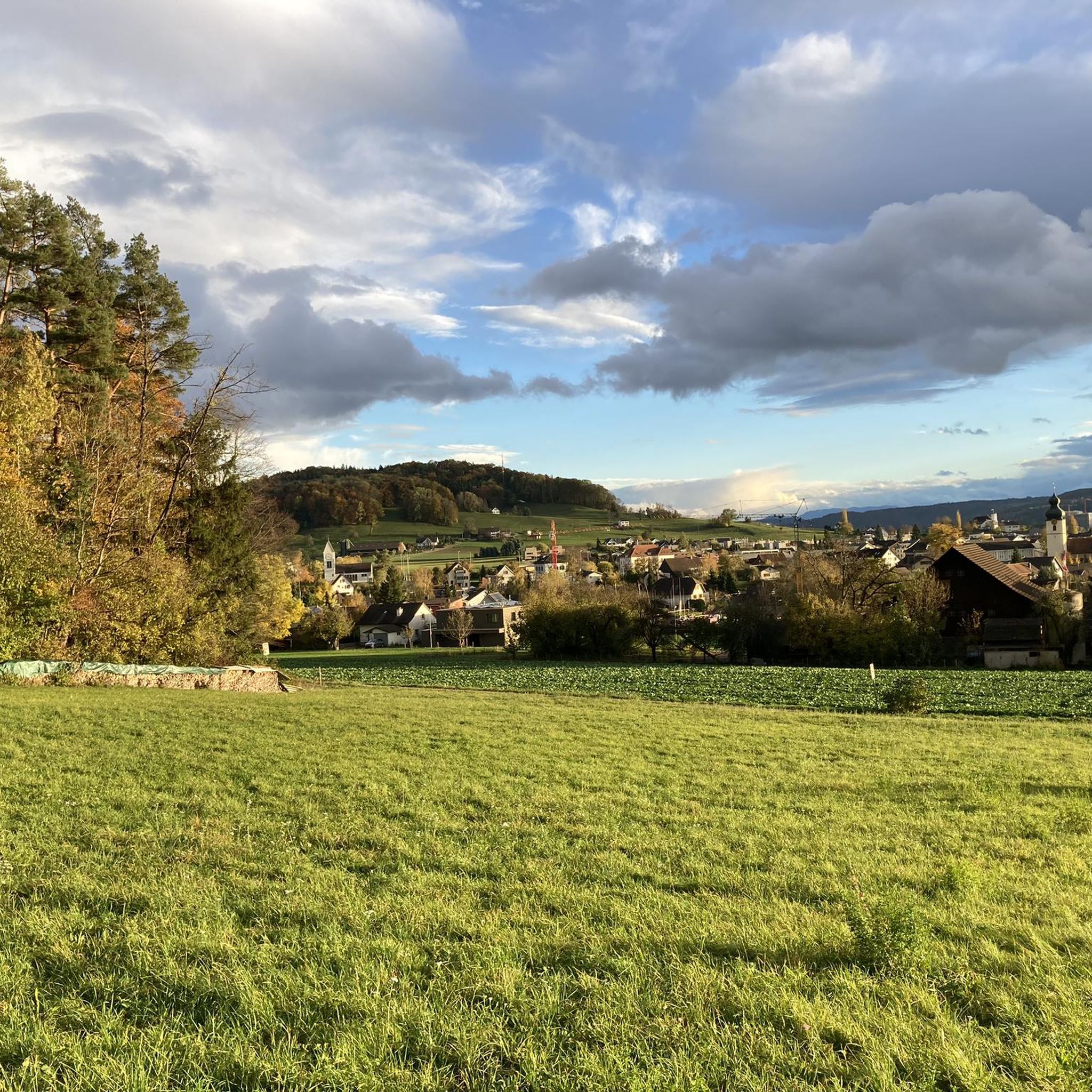
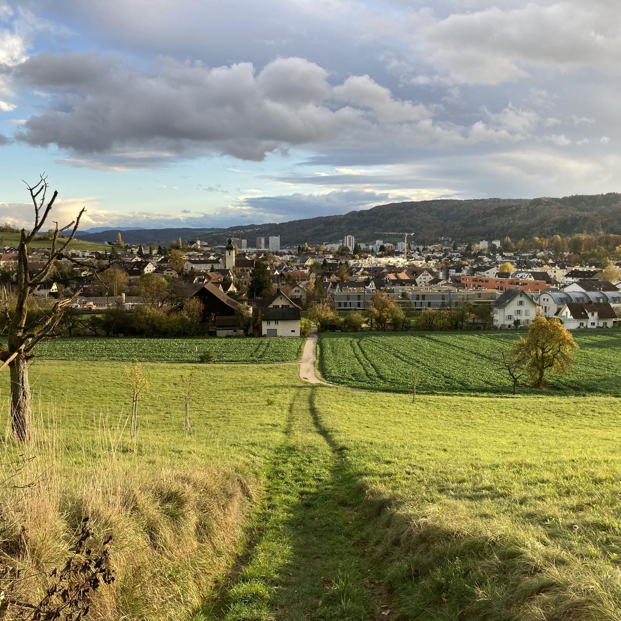
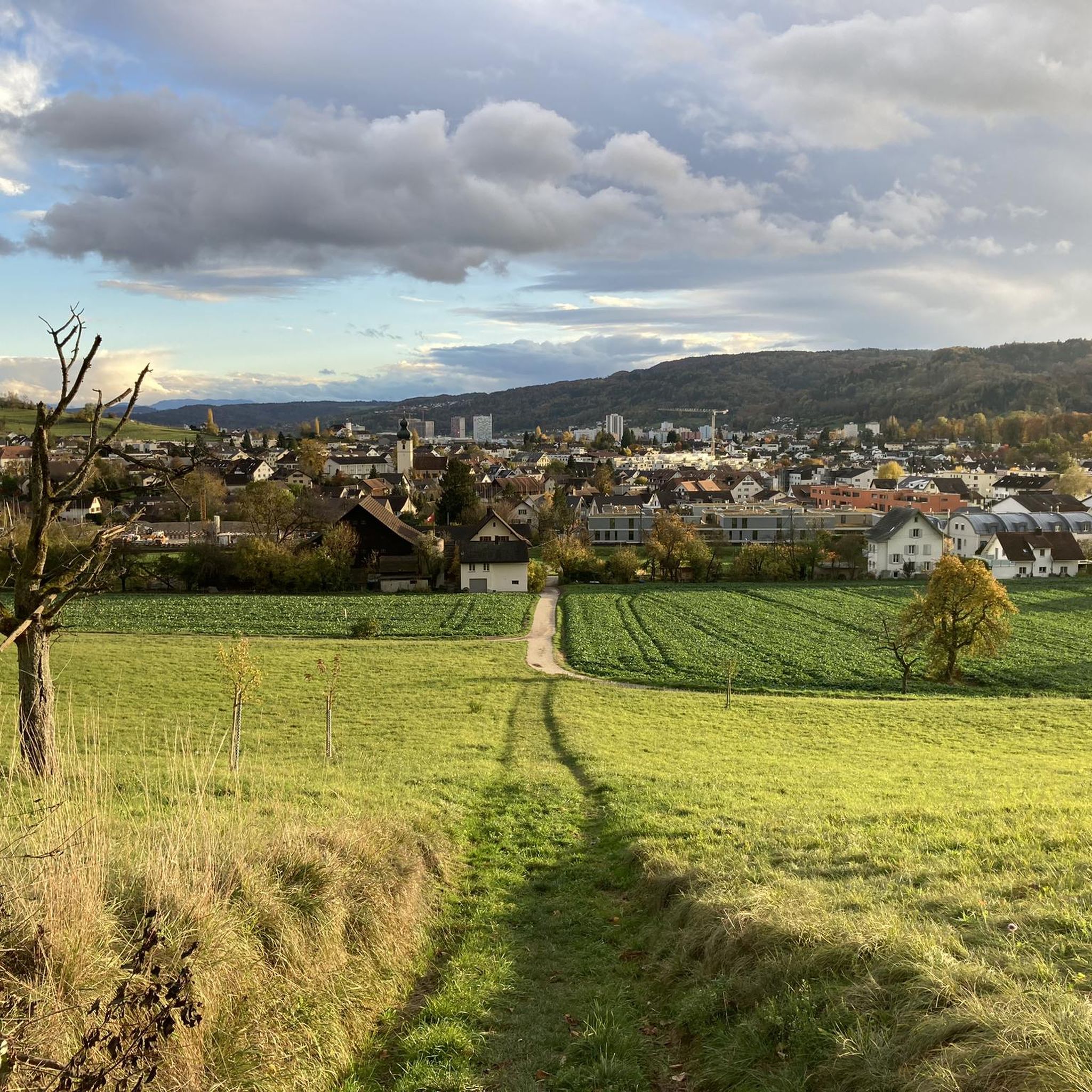
Hiking around Würenlos offers diverse landscapes characterized by green hills, river valleys, and tranquil lakes. The region is situated near the Limmat River, providing numerous riverside paths for exploration. Varied topography includes rolling hills and accessible valleys, suitable for different hiking preferences. Natural features like Egelsee and Katzensee contribute to the scenic backdrop for outdoor activities.
Best hiking trails around Würenlos
- The most popular hiking route is Limmat Riverside Path – Limmat River loop from Oetwil, a 4.6 miles…
Last updated: September 30, 2026
4.6
(5)
91
hikers
Easy hike. Great for any fitness level. Easily-accessible paths. Suitable for all skill levels.
4.5
(15)
79
hikers
Easy hike. Great for any fitness level. Easily-accessible paths. Suitable for all skill levels.

4.8
(16)
66
hikers
3.85km
01:08
100m
100m
Easy hike. Great for any fitness level. Easily-accessible paths. Suitable for all skill levels.
4.5
(14)
71
hikers
Easy hike. Great for any fitness level. Easily-accessible paths. Suitable for all skill levels.
4.6
(12)
59
hikers
Easy hike. Great for any fitness level. Easily-accessible paths. Suitable for all skill levels.
Get access to more routes and recommendations from other explorers.
Already have an account?
Our route recommendations are based on thousands of hikes, rides, and runs completed by other people on komoot.
Start today with a free account
Your next adventure awaits.
Tips from the Community

Even if it is included in cycling routes, this path is NOT for cycling! I ended up there with my touring bike and I had a lot of trouble clearing it. I also had to push, or even carry, the bike in some parts. This could be maybe done on a MTB, but I anyhow believe it is not permitted to go there by bike. A part from this, this path is beautiful, but make sure to just walk there.
0
0

free hiking parking lot; the parking time is limited to 8 hours and the parking disc must be displayed.
3
0

I would divide this Limmat riverside walk into two. Half, starting from the allotment garden, is a narrow path between the fields and the Limmat. I would call the other half more challenging. Surefootedness is required. A feast for the eyes, a feast for the soul. In some places, right on the riverbank, there are many roots.
0
0

Beautiful route directly on the water
0
0

Very nice and car-free bike path. Watch out for joggers and dog walkers.
0
0


Avoid cycling on sunny weekend days. There are too many pedestrians
0
0

Great little detour on the island between the river and the canal.
1
0
Frequently Asked Questions
How many hiking trails are available around Würenlos?
Würenlos offers a vast network of over 1,400 hiking trails. This includes more than 800 easy routes, 550 moderate trails, and around 90 more challenging options, catering to all fitness levels.
What kind of landscapes can I expect to see while hiking in Würenlos?
The region around Würenlos is characterized by diverse and picturesque landscapes. You'll find green rolling hills, tranquil river valleys along the Limmat River, and serene lakes such as Egelsee and Katzensee. These features provide a scenic backdrop for various hiking experiences.
Are there any family-friendly hiking routes in Würenlos?
Yes, Würenlos has many family-friendly options. The region's diverse topography includes accessible valleys and riverside paths that are suitable for all ages. Many of the over 800 easy routes are perfect for families looking for a pleasant outing.
Can I bring my dog on the hiking trails in Würenlos?
Many trails in Würenlos are suitable for dogs. The natural landscapes, especially the riverside paths along the Limmat River and the green hills, offer ample space for you and your canine companion to explore. Always ensure your dog is on a leash where required and respect local wildlife.
Are there any circular hiking routes around Würenlos?
Yes, Würenlos features several enjoyable circular routes. For example, the Limmat Riverside Path – Limmat River loop from Oetwil is an easy 4.6-mile (7.3 km) loop. Another option is the Altberg Observation Tower loop from Hüttikon, which is a 2.4-mile (3.9 km) trail offering varied terrain.
What are some interesting places to explore or landmarks to see along the trails?
Beyond the natural beauty, you can discover several points of interest. The Fahr Abbey loop from Schlieren combines natural exploration with a visit to the historic Fahr Monastery. You can also find natural monuments like Egelsee, or visit the Hohenstein viewpoint for panoramic views. The region also features unique sites like the Teufelskeller Nature Reserve.
What is the best time of year to go hiking in Würenlos?
Würenlos is enjoyable for hiking throughout much of the year. Spring and autumn offer pleasant temperatures and vibrant scenery, while summer is ideal for riverside walks and enjoying the lakes. Even in winter, some trails remain accessible for a peaceful stroll, though conditions may vary.
Are there any trails with good viewpoints or observation towers?
Absolutely! The Altberg Observation Tower loop from Hüttikon leads to the Altberg Observation Tower, which provides expansive panoramic views after a moderate ascent. Additionally, the Hohenstein viewpoint offers another excellent spot to take in the surrounding landscapes.
How can I reach the hiking trails in Würenlos using public transport?
Würenlos is well-connected, making many trailheads accessible by public transport. For instance, routes like the Limmat Riverside Path loop from Oetwil and the Fahr Abbey loop from Schlieren often have starting points conveniently located near bus or train stations, allowing for easy access without a car.
What do other hikers enjoy most about Würenlos?
The hiking trails in Würenlos are highly regarded by the komoot community, with an average rating of 4.6 stars from over 3,900 reviews. Hikers frequently praise the diverse landscapes, from the serene Limmat River paths to the green hills, and the variety of routes suitable for all abilities.
Are there any easy hikes suitable for beginners?
Yes, Würenlos is an excellent area for beginners, with over 800 easy routes available. Trails like the Limmat Riverside Path – Limmat River loop from Oetwil are particularly suitable, offering gentle terrain and beautiful scenery without significant elevation gain.
Where can I find parking for hiking trails in Würenlos?
Parking is generally available near many popular trailheads in Würenlos and its surrounding communities. Specific parking information can often be found on individual route descriptions on komoot, or by checking local signage at the start of trails.
Most popular attractions around Würenlos

Get inspired with the komoot mobile app


Explore more
Browse the best Hikes in other regions.
