The best road cycling routes around Wünnewil-Flamatt
4.6
(670)
13,624
riders
13
rides
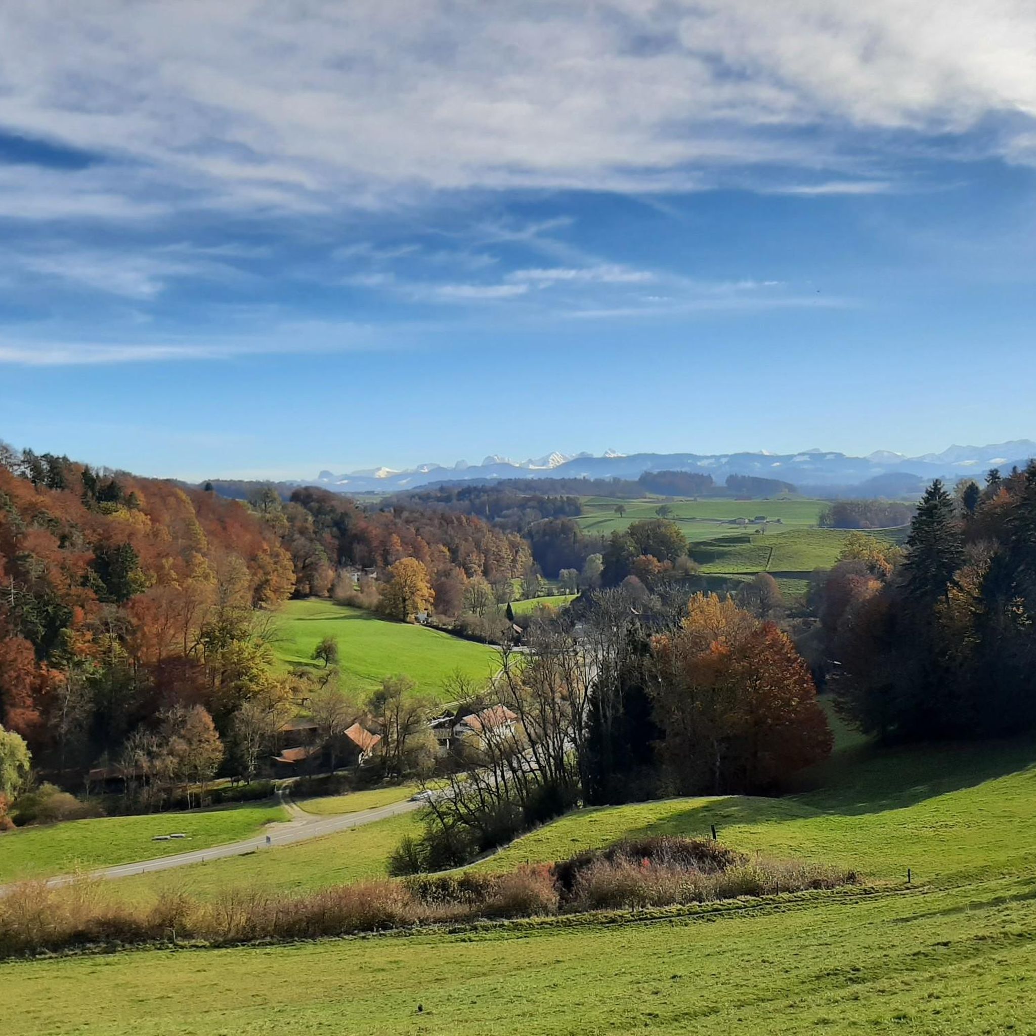
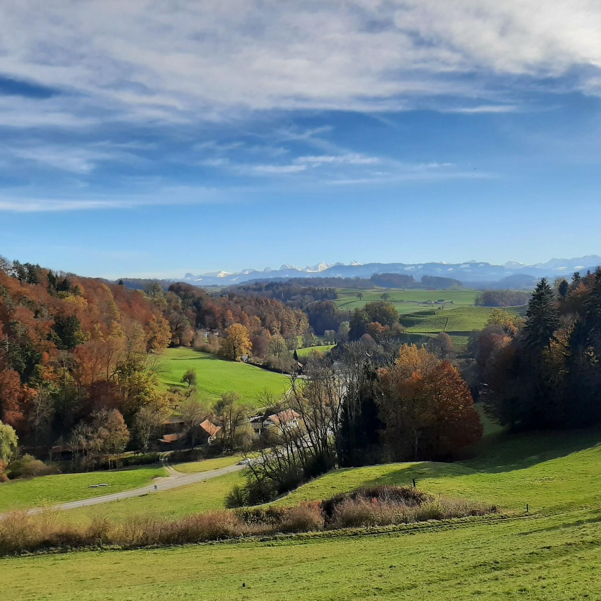
Road cycling routes around Wünnewil-Flamatt traverse the Sense district in the Fribourg Canton, Switzerland. The terrain features gentle hills, green meadows, and river valleys, providing varied landscapes for road cyclists. The region is characterized by its diverse topography, ranging from flat sections along the Sense riverbed to rolling hills like Dietisberg and Wünnewil, which offer panoramic views. Road cyclists can expect a mix of paved paths and some routes with significant elevation gains.
Best road cycling routes around Wünnewil-Flamatt
- The…
Last updated: October 4, 2026
4.8
(5)
114
riders
60.6km
02:45
440m
440m
Moderate road ride. Good fitness required. Mostly well-paved surfaces and easy to ride.
5.0
(2)
77
riders
99.0km
05:18
1,760m
1,760m
Hard road ride. Very good fitness required. Some segments of this route may be unpaved and difficult to ride.

39
riders
36.9km
01:47
400m
400m
Moderate road ride. Good fitness required. Mostly well-paved surfaces and easy to ride.
5.0
(1)
22
riders
19.2km
00:56
240m
240m
Moderate road ride. Great for any fitness level. Some segments of this route may be unpaved and difficult to ride.
8
riders
39.9km
02:10
590m
590m
Moderate road ride. Good fitness required. Some segments of this route may be unpaved and difficult to ride.
Get access to more routes and recommendations from other explorers.
Already have an account?
Our route recommendations are based on thousands of hikes, rides, and runs completed by other people on komoot.
Start today with a free account
Your next adventure awaits.
Tips from the Community


The climb that start from Rüggisberg is very steep, Very good condition required. The other side is longer and with lower average gradient.
0
0

Only during the week, otherwise there is too much traffic
1
0


Matzenriedstrasse offers a pleasant road cycling experience, winding through peaceful rural landscapes and offering panoramic views of the surrounding countryside. As you cycle along this quiet, lightly travelled route, you will enjoy smooth asphalt and gentle slopes, making it an ideal route for relaxing.
1
0
On the climb to Gurnigel you will enjoy breathtaking Alpine scenery, the road winding through meadows, dense forests and the mountainous landscape of the Gantrisch region. The climb offers stunning views of the Bernese Alps and, if you are hiking in late spring or summer, you will see wildflowers covering the hillsides, adding a splash of colour to your hike.
0
0

A worthy ascent for the stunning views of the Gantrisch and the Thun lake. There are restaurants up here for a good refuel, but it does get busy in high summer.
0
0

Frequently Asked Questions
How many road cycling routes are available around Wünnewil-Flamatt?
There are over 15 road cycling routes around Wünnewil-Flamatt, offering a diverse range of options for different skill levels and preferences.
What kind of terrain can I expect on road cycling routes in Wünnewil-Flamatt?
The region features varied terrain, from gentle hills and green meadows to picturesque river valleys. You'll find a mix of paved paths, and some routes include significant elevation gains, especially in the rolling hills like Dietisberg and Wünnewil.
Are there road cycling routes suitable for beginners in Wünnewil-Flamatt?
Yes, Wünnewil-Flamatt offers several routes suitable for beginners. There are 4 easy routes available, such as the Roadbike loop from Wünnewil, which covers 27.3 km with moderate elevation.
What are some challenging road cycling routes for experienced riders?
For experienced riders seeking a challenge, there are 2 difficult routes. A notable option is the Gurnigel Ascent – Stierenhütte at Gurnigel Pass loop from Wünnewil, a demanding 99 km path with over 1750 meters of elevation gain through mountainous terrain.
Are there any long-distance road cycling options in the region?
Yes, you can find longer routes. The Gurnigel Ascent – Stierenhütte at Gurnigel Pass loop from Wünnewil is nearly 100 km long, providing a substantial ride for those looking for extended distances.
What do other cyclists say about the road cycling experience in Wünnewil-Flamatt?
The road cycling routes in Wünnewil-Flamatt are highly rated by the komoot community, with an average score of 4.7 stars from over 8 reviews. More than 370 road cyclists have used komoot to explore the region's varied terrain, often praising the scenic landscapes and diverse route options.
Which road cycling routes offer the best scenic views or viewpoints?
Many routes offer captivating views. The View of Lake Schiffenen – View of the Poya Bridge loop from Wünnewil leads through scenic landscapes. Additionally, the Dietisberg and Wünnewil hills provide spectacular panoramic views of the Sense river valley, the Swiss Plateau, and even the distant Pre-Alps and Alps.
Can I find routes that pass by water features like lakes or rivers?
Absolutely. The region is rich in water features. Routes often follow the Sense and Aare rivers, and the Wohlensee is a particularly popular spot for cycling, offering continuous scenic views along its banks. The Saane River – Schiffenensee Dam loop is another excellent option.
Are there any historical or cultural landmarks I can visit while road cycling?
Yes, the area offers cultural points of interest. The Laupen Old Town – Laupen Castle loop provides a blend of cycling and cultural sightseeing. You can also find highlights like the Gümmenen Covered Wooden Bridge and Köniz Castle and Church nearby.
Are there any circular road cycling routes available?
Yes, many routes are designed as loops. Examples include the Laupen Old Town – Broye Canal loop from Flamatt, the Saane River – Schiffenensee Dam loop, and the Saane River – Aare at Wohlensee loop, all offering a convenient circular experience.
What is the best time of year for road cycling in Wünnewil-Flamatt?
While specific seasonal data isn't provided, the diverse landscapes with green meadows and river valleys suggest that spring, summer, and early autumn would be ideal for road cycling, offering pleasant weather and vibrant scenery.
Are there any family-friendly road cycling routes?
While specific 'family-friendly' routes are not explicitly detailed, the region offers shorter rides up to two hours with moderate elevation gain, which could be suitable for families with some cycling experience. The presence of small swimming and barbecue areas along Wohlensee also makes it an ideal location for a refreshing break during a ride.
Most popular routes around Wünnewil-Flamatt
Most popular attractions around Wünnewil-Flamatt

Get inspired with the komoot mobile app


Explore more
Browse the best Road cycling routes in other regions.
