The best walks and hikes around Wulkaprodersdorf
4.6
(1158)
5,223
hikers
554
hikes
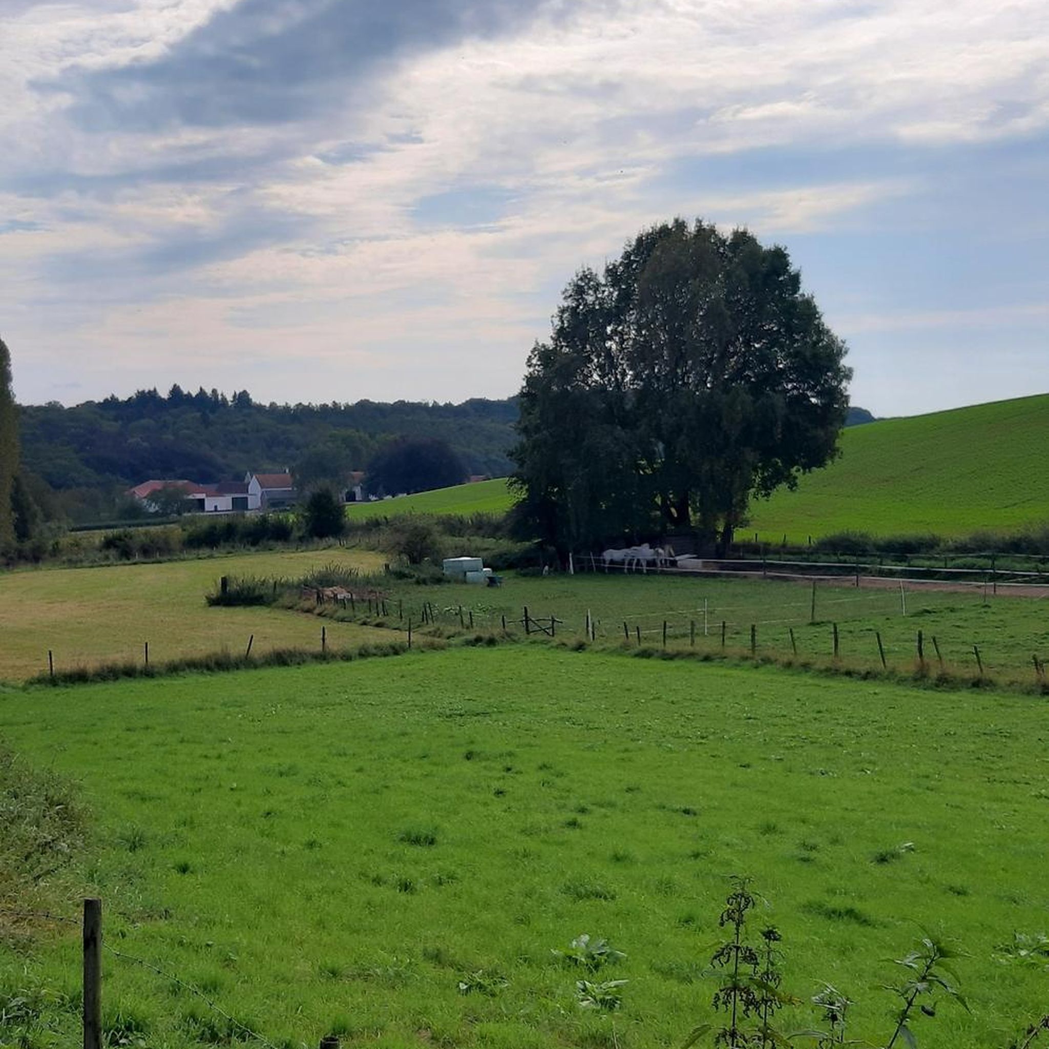
Hiking around Wulkaprodersdorf offers access to the diverse and gentle landscapes of the Wulka plain in Burgenland, Austria. The region is characterized by wide plains, rolling hills, vineyards, and wetlands, providing varied scenery for outdoor activities. The terrain features gentle ascents and riparian ecosystems along the Wulka river. This area provides a network of trails through natural features and agricultural lands.
Best hiking trails around Wulkaprodersdorf
- The most popular hiking route is Hexenhügel Burial Mound loop from Hirm, a 3.2 miles (5.2 km) trail that takes 1 hour 20 minutes to complete, exploring local historical sites.
- Another top favourite among local hikers is Klingenbach Fire Station – St. Hubertus Chapel loop from Zagersdorf/Cogrštof, a moderate 4.8 miles (7.7 km) path. This route connects local landmarks and offers varied scenery.
- Local hikers also love the Dr. Karl Renner Monument – Johann Nepomuk Chapel loop from Siegendorf/Cindrof, a 5.0 miles (8.1 km) trail leading through the local landscape and past historical sites, often completed in about 2 hours 6 minutes.
- Hiking around Wulkaprodersdorf is defined by wide plains, rolling hills, and riparian ecosystems along the Wulka river. The network offers options for different ability levels, from easy walks to moderate excursions.
- The routes in Wulkaprodersdorf are highly rated by the komoot community with an average score of 4.6 stars from over 1000 reviews. More than 5000 hikers have used komoot to explore Wulkaprodersdorf's varied terrain.
Last updated: October 5, 2026
5.0
(1)
7
hikers
5.16km
01:20
30m
30m
Easy hike. Great for any fitness level. Easily-accessible paths. Suitable for all skill levels.
4.7
(3)
11
hikers
8.08km
02:13
120m
120m
Moderate hike. Good fitness required. Easily-accessible paths. Suitable for all skill levels.

4.0
(1)
4
hikers
Moderate hike. Good fitness required. Easily-accessible paths. Suitable for all skill levels.
10
hikers
Moderate hike. Good fitness required. Easily-accessible paths. Suitable for all skill levels.
10
hikers
Easy hike. Great for any fitness level. Easily-accessible paths. Suitable for all skill levels.
Get access to more routes and recommendations from other explorers.
Already have an account?
Our route recommendations are based on thousands of hikes, rides, and runs completed by other people on komoot.
Start today with a free account
Your next adventure awaits.
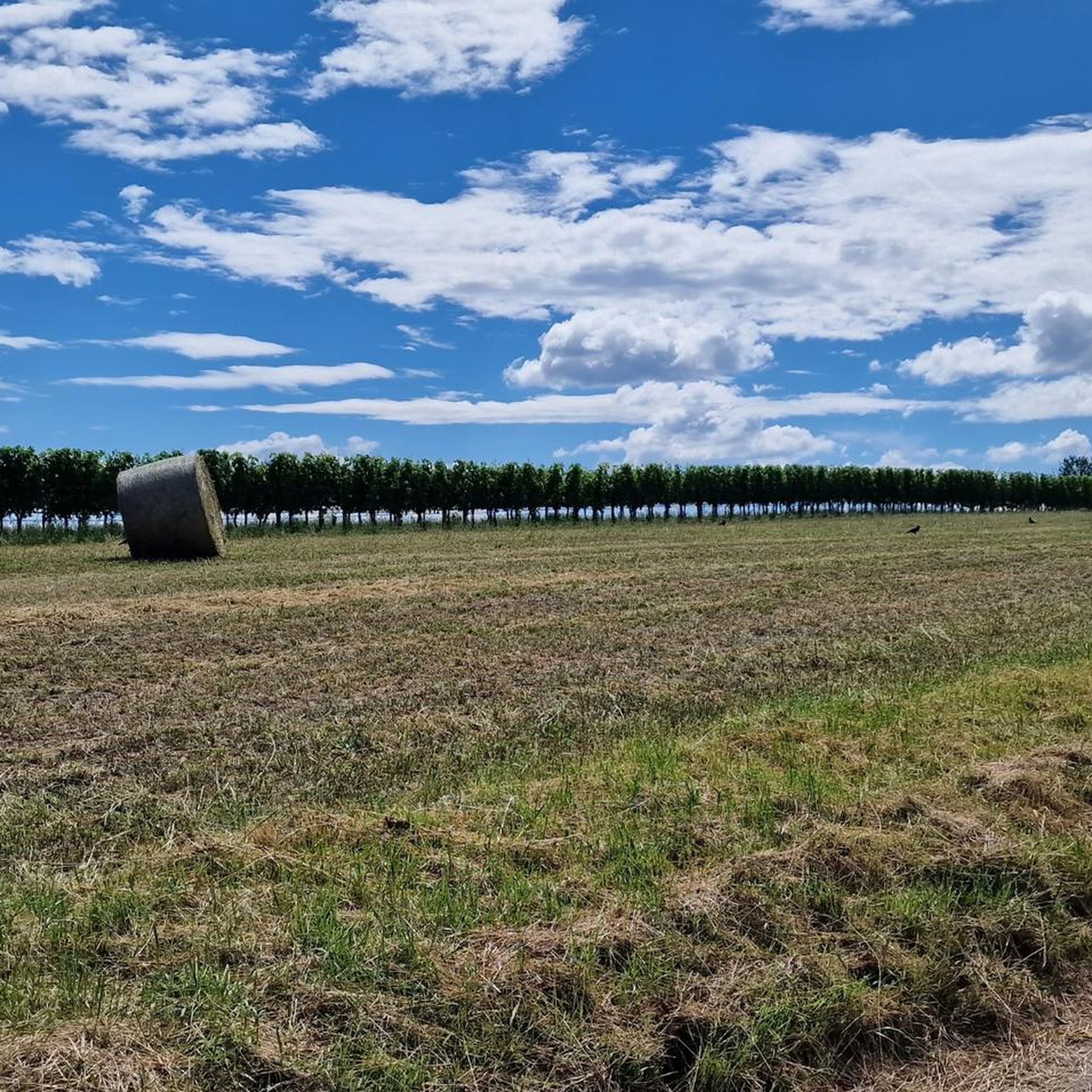
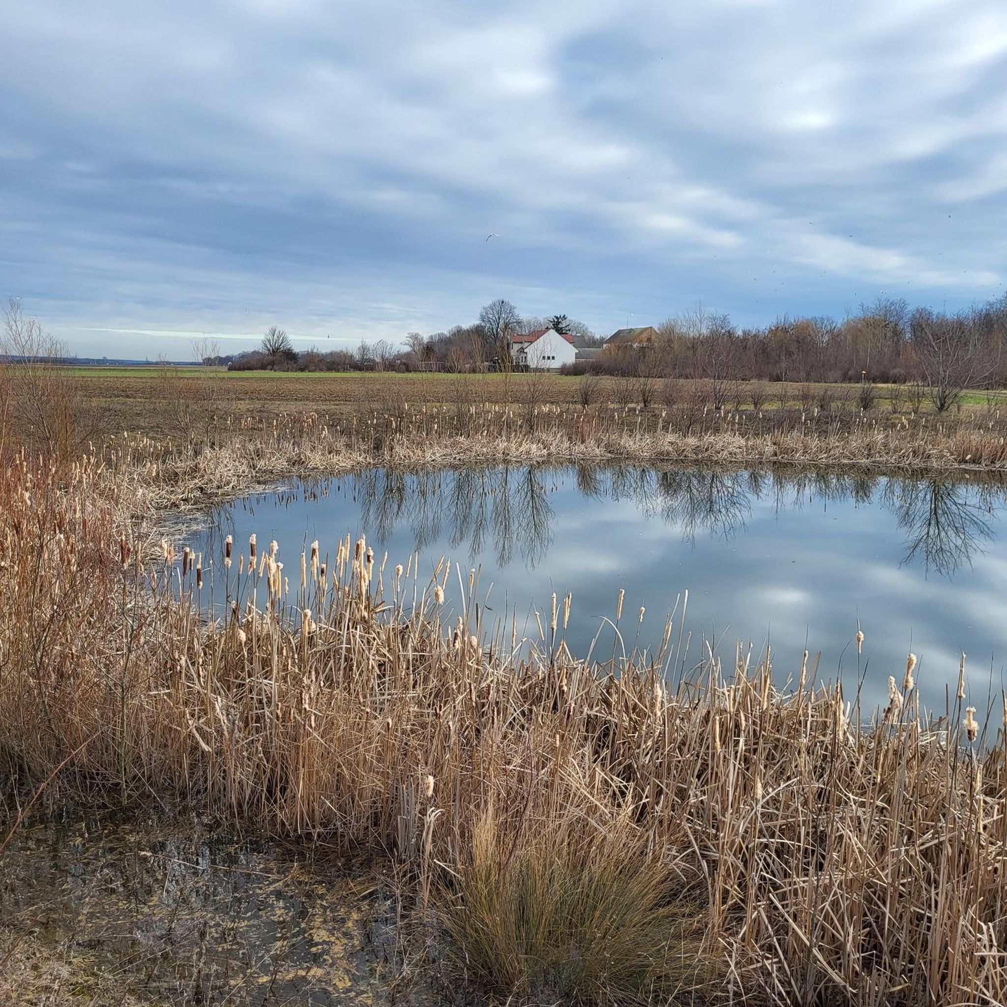
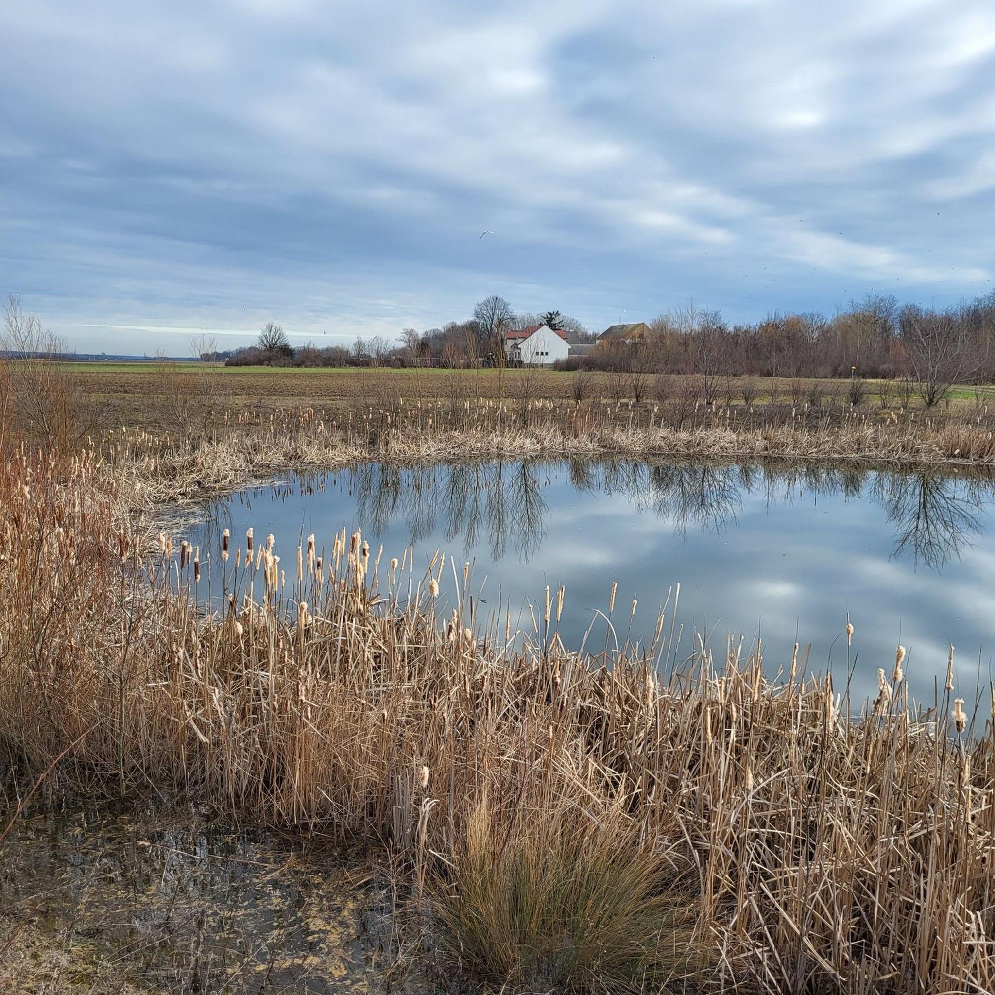
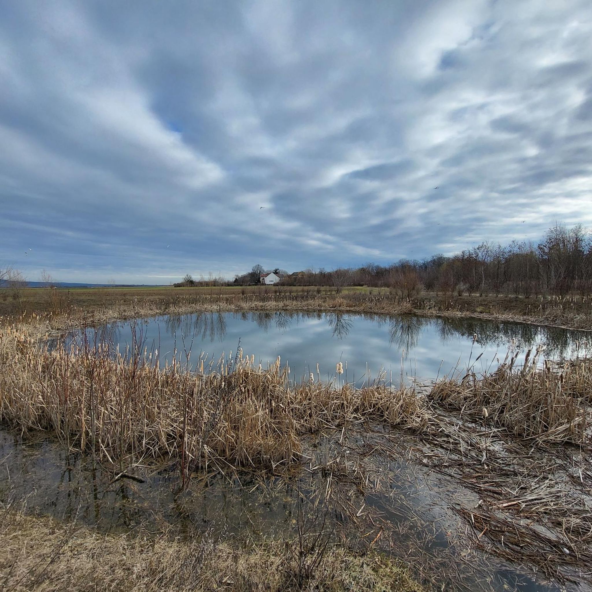
Tips from the Community

7th century BC a burial mound from the Hallstatt period
0
0

A place to sit. And there is a geocache there if you geocache.
0
0

Interesting place right next to the bike path.
0
0
Comfortable rest area and beautiful view.
0
0

Really beautiful area, generally not much going on, even at the weekend.
1
0

Good visibility combined with quiet freight cars.
0
0

The view over the area is impressive.
1
0

There is also some variety in the otherwise very rural environment and a shady place to take a break.
0
0
Frequently Asked Questions
How many hiking trails are available around Wulkaprodersdorf?
There are over 600 hiking routes recorded around Wulkaprodersdorf on komoot, offering a wide variety of options for different preferences and skill levels. These include easy walks, moderate excursions, and some more challenging trails.
What kind of terrain can I expect on hikes around Wulkaprodersdorf?
The region around Wulkaprodersdorf is characterized by the diverse and gentle landscapes of the Wulka plain in Burgenland. You can expect wide plains, rolling hills, vineyards, and woodlands. Many routes feature riparian ecosystems along the Wulka river and offer gentle ascents, making them suitable for various fitness levels.
What are some notable natural features or landmarks to explore on hikes?
The Wulkatal (Wulka Valley) is a prominent natural feature, with the Wulka river flowing through natural sections and past historical mill sites. You can also find interesting geological formations like the Kürschnergrube Cave and Quarry or the St. Margarethen Quarry. The broader Burgenland region is known for its proximity to the Neusiedler See-Leithagebirge Nature Park, offering impressive scenery.
Are there family-friendly hiking options in Wulkaprodersdorf?
Yes, Wulkaprodersdorf offers many family-friendly hiking options. The gentle terrain, with wide plains and rolling hills, is ideal for shorter excursions with children. For example, the Hexenhügel Burial Mound loop from Hirm is an easy 5.2 km trail that explores local historical sites and is suitable for families.
Can I bring my dog on the hiking trails around Wulkaprodersdorf?
Generally, dogs are welcome on hiking trails around Wulkaprodersdorf. However, it's always recommended to keep your dog on a leash, especially in agricultural areas, near livestock, or in nature protection zones. Please ensure you clean up after your pet to maintain the natural environment for everyone.
What do other hikers enjoy most about hiking in Wulkaprodersdorf?
The hiking routes in Wulkaprodersdorf are highly rated by the komoot community, with an average score of 4.6 stars from over 1000 reviews. Hikers often praise the varied scenery, the well-maintained paths, and the peaceful atmosphere of the Wulka plain, making it an enjoyable experience for many.
Are there any circular hiking routes available?
Many of the hiking routes around Wulkaprodersdorf are designed as circular loops, allowing you to start and end at the same point. An example is the Klingenbach Fire Station – St. Hubertus Chapel loop from Zagersdorf/Cogrštof, which offers varied scenery and connects local landmarks.
What is the best time of year to go hiking in Wulkaprodersdorf?
Burgenland, where Wulkaprodersdorf is located, enjoys approximately 300 days of sunshine annually, making it suitable for hiking for much of the year. Spring and autumn offer pleasant temperatures and beautiful natural colors, while summer is also popular, especially for early morning or late afternoon hikes. Winter hiking is possible on clear days, though some paths might be muddy.
Are there long-distance hiking trails accessible from Wulkaprodersdorf?
Yes, Wulkaprodersdorf is situated in a region that provides access to renowned long-distance hiking routes. The 'Bernstein Trail' and the 'Alpannonia' long-distance hiking trail both traverse diverse landscapes including vineyards, forests, and steppes, offering immersive experiences of Burgenland's natural beauty and culture.
Where can I find parking for hiking trailheads in Wulkaprodersdorf?
Parking is generally available near the starting points of many trails in and around Wulkaprodersdorf, particularly in the smaller villages like Hirm, Zagersdorf, and Siegendorf. Look for designated parking areas or public spaces near local amenities. Specific parking information is often detailed on individual route pages on komoot.
Are there options for easy hikes suitable for beginners?
Absolutely. Wulkaprodersdorf is well-suited for beginners and those looking for easy walks, with over 350 easy routes available. The gentle topography of the Wulka plain means many trails have minimal elevation gain. The Hubertus Chapel Trausdorf – Hutweide Siegendorf/Cindrof loop from Siegendorf/Cindrof is an excellent example of an easy, flat route.
Most popular attractions around Wulkaprodersdorf

Get inspired with the komoot mobile app


Explore more
Browse the best Hikes in other regions.
