The best road cycling routes around Reichraming
4.6
(71)
1,113
riders
44
rides
Road cycling around Reichraming is characterized by mountainous terrain, river valleys, and expansive forests within Upper Austria. The region is situated near the Kalkalpen National Park and the Reichraminger Hintergebirge mountains, offering diverse landscapes for cyclists. The Enns River also defines the area, providing flatter sections along the Enns Cycle Path. This environment presents a mix of paved roads suitable for road bikes, with routes featuring significant elevation gains.
Best road cycling routes around Reichraming
- The most popular road cycling…
Last updated: October 8, 2026
4.9
(19)
243
riders
65.7km
03:05
500m
500m
Moderate road ride. Good fitness required. Mostly well-paved surfaces and easy to ride.
5.0
(2)
79
riders
60.3km
03:02
780m
780m
Moderate road ride. Good fitness required. Some segments of this route may be unpaved and difficult to ride.

52
riders
64.1km
03:15
930m
930m
Hard road ride. Very good fitness required. Mostly well-paved surfaces and easy to ride.
3.0
(1)
45
riders
35.4km
01:52
570m
570m
Moderate road ride. Good fitness required. Some segments of this route may be unpaved and difficult to ride.
5.0
(1)
26
riders
51.5km
02:40
660m
660m
Moderate road ride. Good fitness required. Mostly well-paved surfaces and easy to ride.
Get access to more routes and recommendations from other explorers.
Already have an account?
Our route recommendations are based on thousands of hikes, rides, and runs completed by other people on komoot.
Start today with a free account
Your next adventure awaits.
Popular around Reichraming
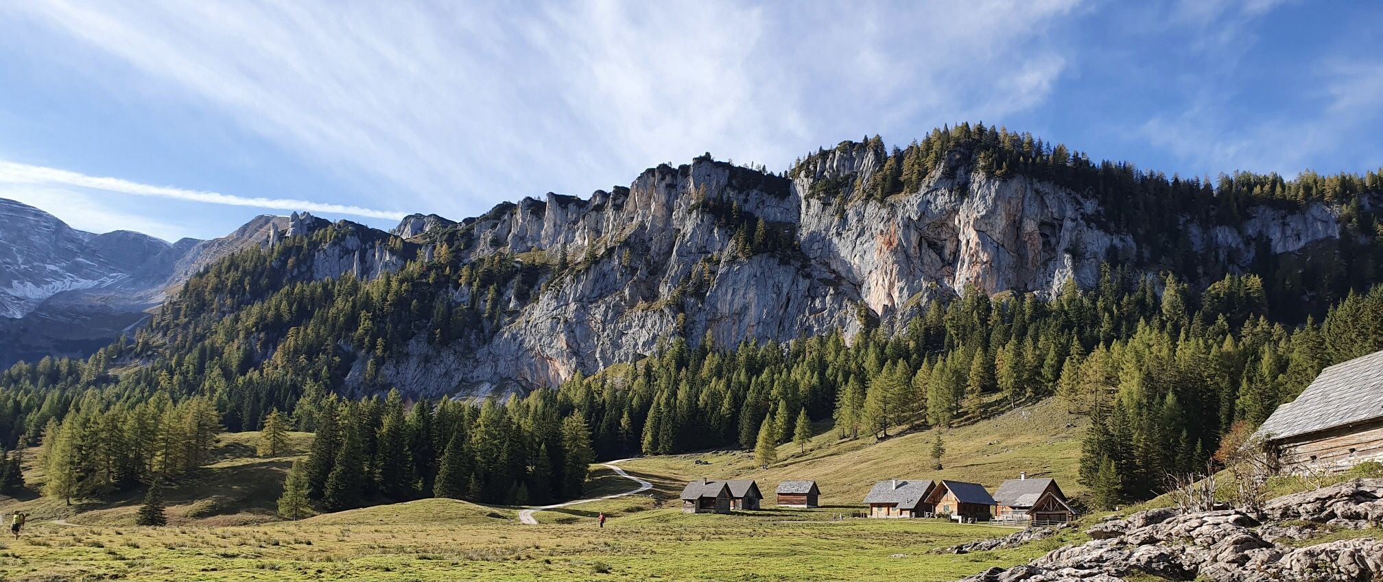
Austria's Kalkalpen Trail – Giant rocks & alpine meadows
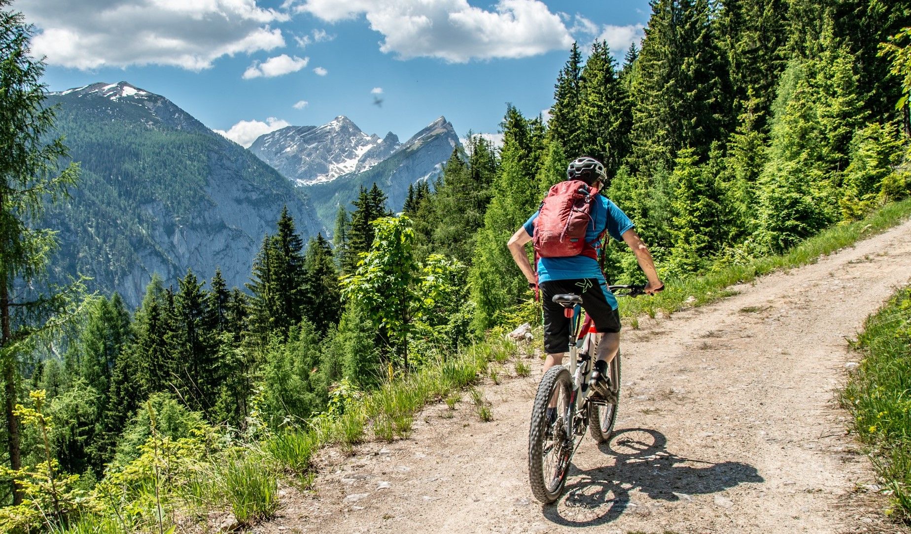
Trans National Park route — On the route through the Kalkalpen
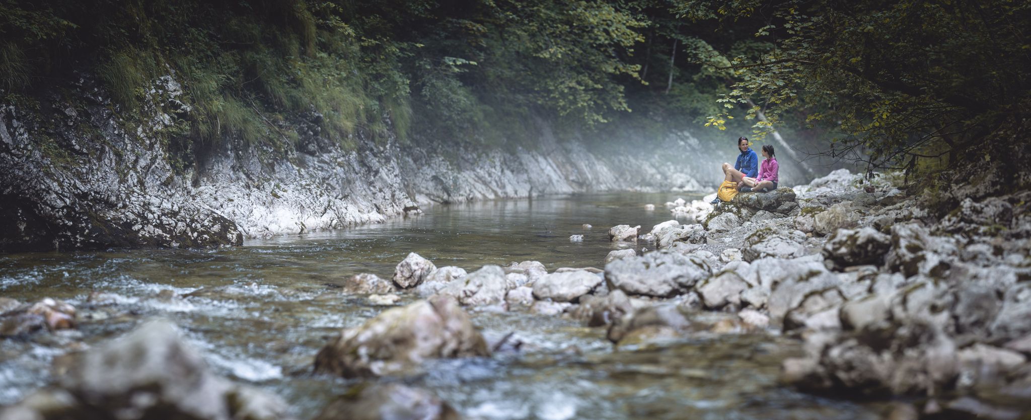
Discover the Kalkalpen National Park
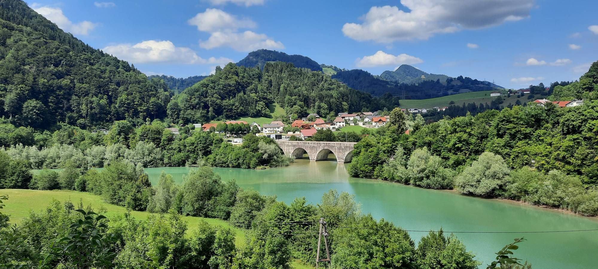
Infrastructure meets tranquillity – Hintergebirgs Cycle Path
On the cusp of the wilderness – Lynx Trail
Bikepacking the Kalkalpen Circuit – an Austrian adventure
Fun and flow – best MTB trails in Upper Austria
MTB Trails around Reichraming
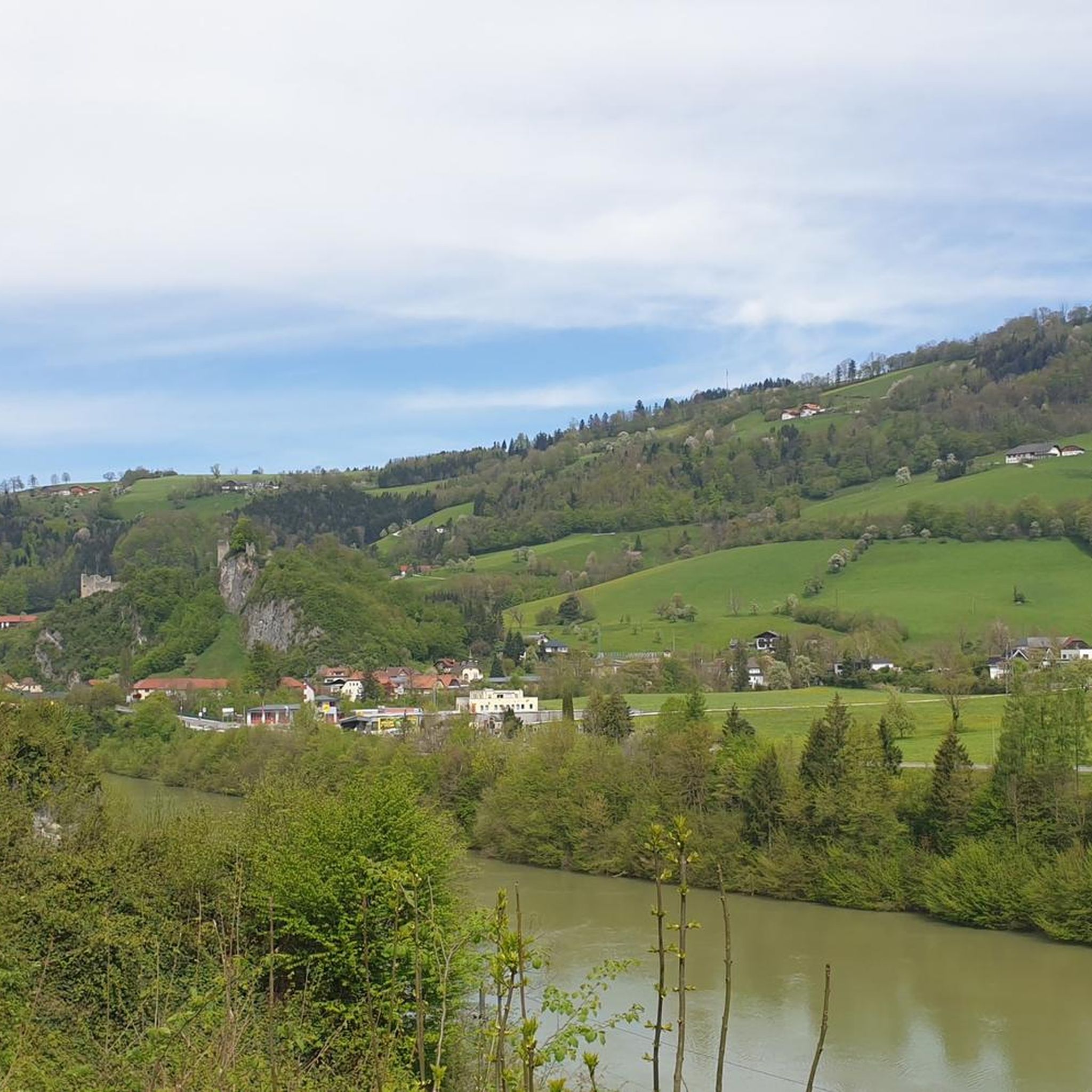
Cycling around Reichraming
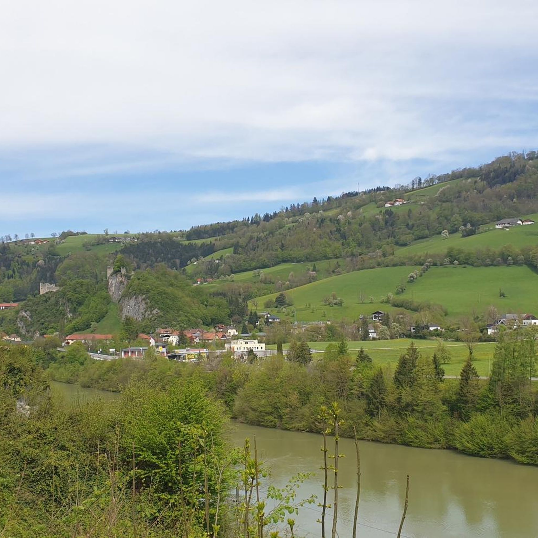
Hiking around Reichraming
Other adventures around Reichraming


Tips from the Community

Bought some knives... highly recommended
0
0

With the bypass, the market square has become less traffic-intensive
1
0

Although a bit dated, it is an idyllic place
0
0


Near Steinbach, on the right bank of the Steyr, there is a beautiful garden which, in the evening, is uniquely enchanting due to its lovely lighting.
0
0
It's worth taking a look around at any time of year!
0
0

Today, the BMW engine plant in Steyr stands on the site of the former warehouse.
0
0
After 1945, the camp barracks were partly used by displaced people from Gablonz.
0
0
Frequently Asked Questions
How many road cycling routes are available around Reichraming?
There are over 45 road cycling routes around Reichraming, offering a wide range of options for different skill levels. The komoot community has explored these routes over 1,000 times.
What is the general difficulty level of road cycling routes in Reichraming?
The majority of road cycling routes in Reichraming are classified as moderate, with 36 out of 48 routes falling into this category. There are also 8 difficult routes for experienced cyclists and 4 easy routes for those seeking a more relaxed ride.
What kind of terrain can I expect on road cycling routes in Reichraming?
Road cycling in Reichraming features a mix of mountainous terrain, picturesque river valleys, and expansive forests. You'll find mostly well-paved surfaces suitable for road bikes, with routes often including significant elevation gains, especially in the Reichraminger Hintergebirge mountains and near the Kalkalpen National Park.
When is the best time of year for road cycling in Reichraming?
The period from April 15 to October 31 is generally the best time for road cycling in Reichraming, as cycling and mountain biking are permitted within the Kalkalpen National Park during these months. This timeframe offers favorable weather conditions to enjoy the region's diverse landscapes.
Are there any easy road cycling routes suitable for beginners in Reichraming?
Yes, there are a few easy road cycling routes available. While many routes are moderate, beginners can find suitable options to enjoy the scenic beauty without overly challenging climbs. For example, sections of the Ennsradweg offer a gentler experience.
Can I find challenging road bike climbs around Reichraming?
Absolutely. Reichraming offers challenging climbs, with some routes featuring elevation gains exceeding 900 meters over distances of around 60 kilometers. Routes like the Section of the Ennstalradweg – Sandner Linde loop from Losenstein are classified as difficult and include notable elevation changes.
Are there any scenic loop routes starting directly from Reichraming?
Yes, numerous scenic loop routes start directly from Reichraming. A popular option is the View of Steyr – Steyr confluence loop from Reichraming, which offers beautiful views and covers 66 kilometers. Another is the Pechgraben – Losenstein Castle Ruins loop from Reichraming, a moderate 36-kilometer ride.
Are there routes that follow the Enns River?
Yes, the Enns River is a defining natural feature of the region, and Reichraming is a point along the scenic Ennsradweg (Enns Cycle Path). This path offers a gentler cycling experience through valleys and past historic towns. The Section of the Ennstalradweg – Sandner Linde loop from Losenstein incorporates parts of this path.
What natural features or landmarks can I see along the road cycling routes?
Road cycling routes in Reichraming offer access to diverse natural features and landmarks. You can explore the vast beech forests of the Kalkalpen National Park, ride alongside crystal-clear mountain streams, and even find natural bathing areas. Historic sites like the Losenstein Castle Ruins are also accessible on some routes. For those interested in waterfalls, highlights like Schleierfall Waterfall and Fallerbucht Waterfall are nearby.
Can I cycle through the Kalkalpen National Park on a road bike?
Yes, the Kalkalpen National Park provides over 500 kilometers of well-marked cycling and mountain bike trails. While some are geared towards mountain biking, many sections can be enjoyed on a road bike, allowing you to explore the park's natural beauty, including its old beech forests. Cycling within the national park is generally permitted from April 15 to October 31.
What do other cyclists say about road cycling in Reichraming?
The road cycling routes in Reichraming are highly rated by the komoot community, with an average score of 4.7 stars from over 40 reviews. Cyclists often praise the varied terrain, the stunning natural scenery of the Kalkalpen National Park, and the well-maintained paved surfaces that make for an enjoyable ride.
Are there any routes that pass by historic sites or towns?
Yes, several routes offer opportunities to pass by historic sites and charming towns. For instance, the Losenstein Castle Ruins – Sandner Linde loop from Losenstein takes you past historic castle ruins. The Ennsradweg, which passes through Reichraming, also leads through historic towns like Losenstein and Steyr.
Most popular routes around Reichraming
Most popular attractions around Reichraming

Get inspired with the komoot mobile app


Explore more
Browse the best Road cycling routes in other regions.
