The best MTB trails around Yelvertoft
4.4
(45)
147
riders
36
rides
Mountain biking around Yelvertoft provides routes through a landscape of mixed arable and pasture fields, hedgerows, and small woodland copses. The area features low-lying, undulating terrain influenced by River Avon tributaries, with views towards the Hemplow Hills and Honey Hill. While not a dedicated mountain biking destination with highly technical trails, it offers a network of cycling routes that cater to various skill levels. These routes include both paved and unpaved segments, allowing for exploration of the region's natural features.
…Last updated: October 9, 2026
5.0
(7)
19
riders
23.5km
01:21
80m
80m
Easy mountain bike ride. Great for any fitness level. Suitable for all skill levels.
5.0
(4)
9
riders
46.5km
02:59
280m
280m
Moderate mountain bike ride. Good fitness required. Suitable for all skill levels.

5.0
(2)
4
riders
28.4km
01:44
140m
140m
Easy mountain bike ride. Great for any fitness level. Suitable for all skill levels.
4.7
(3)
4
riders
18.7km
01:18
80m
80m
Easy mountain bike ride. Great for any fitness level. Suitable for all skill levels.
5.0
(7)
4
riders
20.8km
01:39
250m
250m
Moderate mountain bike ride. Great for any fitness level. Advanced riding skills necessary.
Get access to more routes and recommendations from other explorers.
Already have an account?
Our route recommendations are based on thousands of hikes, rides, and runs completed by other people on komoot.
Start today with a free account
Your next adventure awaits.

Tips from the Community

It’s a really nice place to get to and have a café ride. It’s nice to just ride around the reservoir. 
0
0

Nice place to stop for coffee and cake, use the ramp entrance at the bottom left hand side of the car park, press the button to have reception open the gate
1
0


Going West from the main road the bridleway crosses a Motocross track. This is best avoided at weekends when the motocross crowd is zipping about. Also, the route is badly rutted and can be difficult to negotiate. The last part of the route through the park is badly overgrown but you can avoid that by going to the right of the path and rejoining it just before it goes through the hedge - the fence has been removed there. This section is also pretty bad when wet; it gets pretty boggy and rutted. 24/4/26 - someone has dumped a load of stuff at the exit to the track and the path is still completely overgrown. The only way to get past is to lift your bike over the obstruction. Really needs two people to do it - see photo.
0
0

Mix of gravel and tarmac surface unclassified country roads, be mindful to close gates behind you livestock roaming in the area
0
0
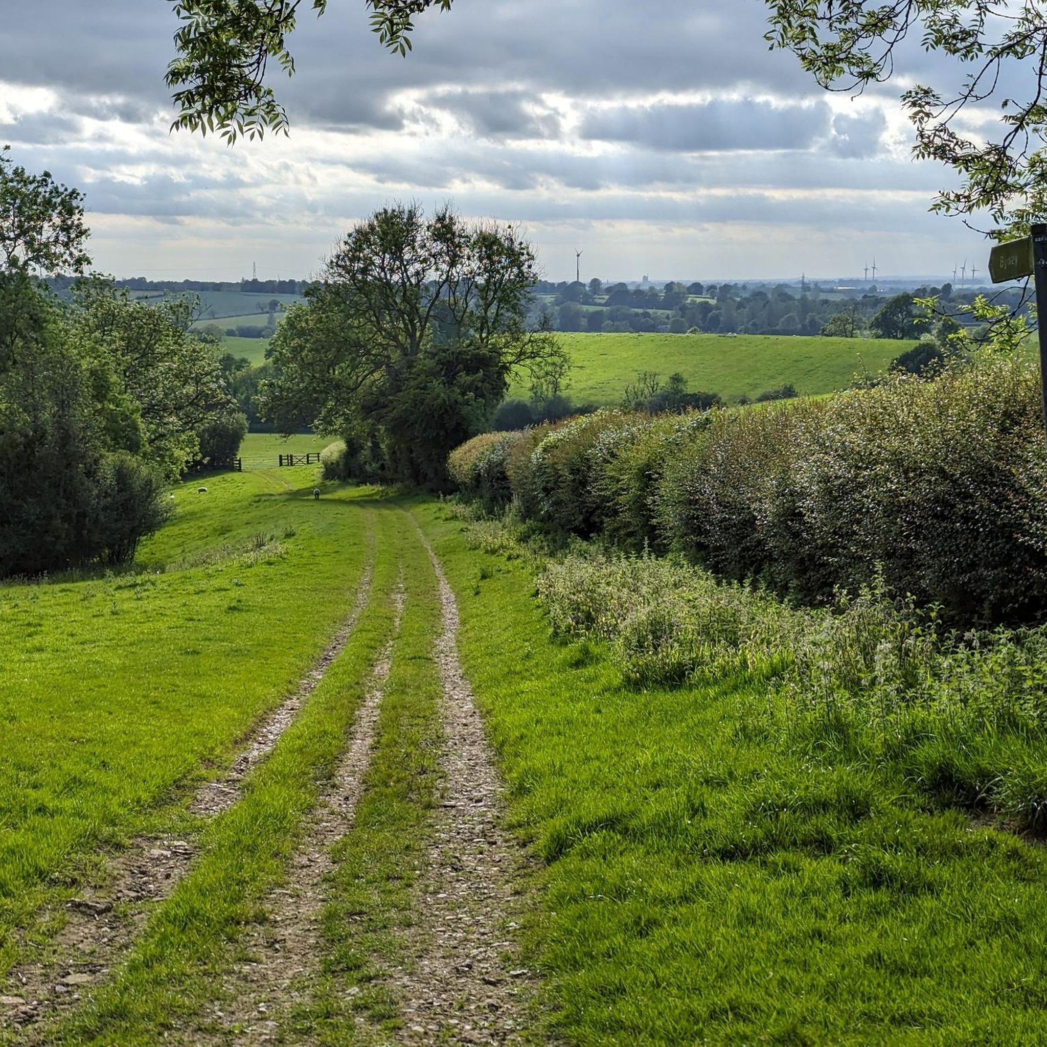
The trail is very rutted as it's a byway, be careful you don't get your wheel stuck in one as its a long fast descent (mostly). Still, it's better than trying to cycle up it.
0
0

Brandon Wood is a 178 acre forestryb situated about 6km east of Coventry. The woods feature a wide variety of flora including over 330 plant species and more than 50 species of tree, that provide habitat for a beautiful array of wildlife including Muntjac deer, buzzard, sparrowhawk, kestrel and great spotted woodpeckers.
1
0

The only underpass far and wide, here you can get to the other side of the bank. Separate for pedestrians and cyclists.
5
0
Frequently Asked Questions
How many mountain bike trails are available around Yelvertoft?
There are over 40 mountain bike routes around Yelvertoft listed on komoot. These routes cater to various skill levels, from easy to moderate, allowing riders to explore the local landscapes.
What kind of terrain can I expect on mountain bike trails around Yelvertoft?
The terrain around Yelvertoft features a mix of arable and pasture fields, hedgerows, and small woodland copses. You'll find low-lying, undulating paths influenced by River Avon tributaries, with some routes offering views towards the Hemplow Hills and Honey Hill. Trails often include both paved and unpaved segments.
Are there mountain bike trails suitable for beginners or families in Yelvertoft?
Yes, Yelvertoft offers several easy mountain bike routes perfect for beginners and families. For example, the Draycote Water – Draycote Water loop from Rugby is an easy 14.6-mile trail, and the Great Central Railway Path – Ashlawn Fields Path loop from Rugby is another easy 17.6-mile option that follows former railway lines.
Can I find challenging mountain bike routes near Yelvertoft?
While Yelvertoft is not primarily known for highly technical or difficult mountain biking, there are moderate routes that offer more challenge. For instance, the Malt Kiln Farm Shop – Pond in Brandon Wood loop from Rugby is a moderate 28.8-mile path exploring varied terrain, and the Ryton Wood – Draycote Water loop from Rugby is a longer, moderate route covering nearly 62 km.
Are there any circular mountain bike routes in the Yelvertoft area?
Yes, many of the mountain bike routes around Yelvertoft are circular, allowing you to start and end at the same point. Examples include the Draycote Water loop and the Malt Kiln Farm Shop – Pond in Brandon Wood loop.
What natural features or landmarks can I see while mountain biking around Yelvertoft?
You can explore various natural features and landmarks. The Yelvertoft Pocket Park offers a community orchard and a large pond. The Grand Union Canal, a designated Conservation Area, provides scenic towpaths. You might also encounter views of the Jurassic escarpment of the Hemplow Hills and Honey Hill. Nearby attractions include Oxford Canal Locks and Narrowboats and All Saints' Church, Braunston.
Are there any lakes or reservoirs accessible by mountain bike near Yelvertoft?
Yes, several lakes and reservoirs are within reach. You can find routes that pass by or offer views of Welford and Sulby Reservoirs, Ravensthorpe Reservoir Weir, and Naseby Reservoir. The Draycote Water loop specifically offers views of Draycote Water.
What do other mountain bikers say about the trails in Yelvertoft?
The mountain bike routes around Yelvertoft are highly rated by the komoot community, with an average score of 4.7 stars from over 40 reviews. Riders often appreciate the varied terrain, the peaceful countryside, and the options available for different skill levels.
Where can I park my car when mountain biking in Yelvertoft?
While specific parking areas for mountain biking trailheads are not detailed, Yelvertoft village itself has various open spaces and facilities. For routes starting from nearby towns like Rugby, designated parking may be available near the start points of the tours, such as those around Draycote Water or other local amenities.
Is it possible to reach mountain bike trails in Yelvertoft using public transport?
Yelvertoft is a village, and public transport options might be limited. It's advisable to check local bus schedules for connections to Yelvertoft or nearby towns like Rugby, which may offer more extensive public transport links to trail starting points. Planning your route in advance to identify accessible start points is recommended.
What is the best time of year to go mountain biking in Yelvertoft?
The best time to go mountain biking in Yelvertoft is generally during the drier months, from spring through autumn. This avoids the wettest conditions that can make unpaved sections muddy. The natural scenery, with its mixed fields and hedgerows, is particularly pleasant during these seasons.
How long are the mountain bike routes typically around Yelvertoft?
The mountain bike routes around Yelvertoft vary in length. You can find shorter, easy routes like the Oxford Canal Aqueduct – Ashlawn Fields Path loop from Rugby, which is about 18.7 km. Longer, moderate routes can extend up to nearly 62 km, such as the Ryton Wood – Draycote Water loop.
Most popular attractions around Yelvertoft

Get inspired with the komoot mobile app


Explore more
Browse the best MTB trails in other regions.
