The best walks and hikes around Guilsborough
4.4
(550)
3,274
hikers
180
hikes
Hiking around Guilsborough offers diverse landscapes, including reservoir loops, woodlands, and elevated viewpoints. The region features notable natural features such as Ravensthorpe Reservoir and Honey Hill, which provides expansive views across the heart of England. Harlestone Firs offers extensive woodland paths, while Pitsford Water provides open grassed areas alongside its large lake. The terrain varies from easy, accessible paths to more challenging routes with significant elevation gain.
Best hiking trails around Guilsborough
- The most popular hiking route is Ravensthorpe Reservoir…
Last updated: July 6, 2026
5.0
(3)
52
hikers
2.70km
00:42
10m
10m
Easy hike. Great for any fitness level. Easily-accessible paths. Suitable for all skill levels.
4.8
(11)
23
hikers
Moderate hike. Good fitness required. Easily-accessible paths. Suitable for all skill levels.

Sign up for free
4.0
(1)
7
hikers
10.7km
02:50
110m
110m
Moderate hike. Good fitness required. Easily-accessible paths. Suitable for all skill levels.
5
hikers
Easy hike. Great for any fitness level. Easily-accessible paths. Suitable for all skill levels.
3.0
(1)
3
hikers
13.0km
03:28
130m
130m
Moderate hike. Good fitness required. Easily-accessible paths. Suitable for all skill levels.
Get access to more routes and recommendations from other explorers.
Sign up for free
Already have an account?
Our route recommendations are based on thousands of hikes, rides, and runs completed by other people on komoot.
Start today with a free account
Your next adventure awaits.
Login or Signup



Tips from the Community

Going West from the main road the bridleway crosses a Motocross track. This is best avoided at weekends when the motocross crowd is zipping about. Also, the route is badly rutted and can be difficult to negotiate. The last part of the route through the park is badly overgrown but you can avoid that by going to the right of the path and rejoining it just before it goes through the hedge - the fence has been removed there. This section is also pretty bad when wet; it gets pretty boggy and rutted. 24/4/26 - someone has dumped a load of stuff at the exit to the track and the path is still completely overgrown. The only way to get past is to lift your bike over the obstruction. Really needs two people to do it - see photo.
0
0

Don't know why Komoot says cycling not permitted here as it is a designated Bridleway.
0
0

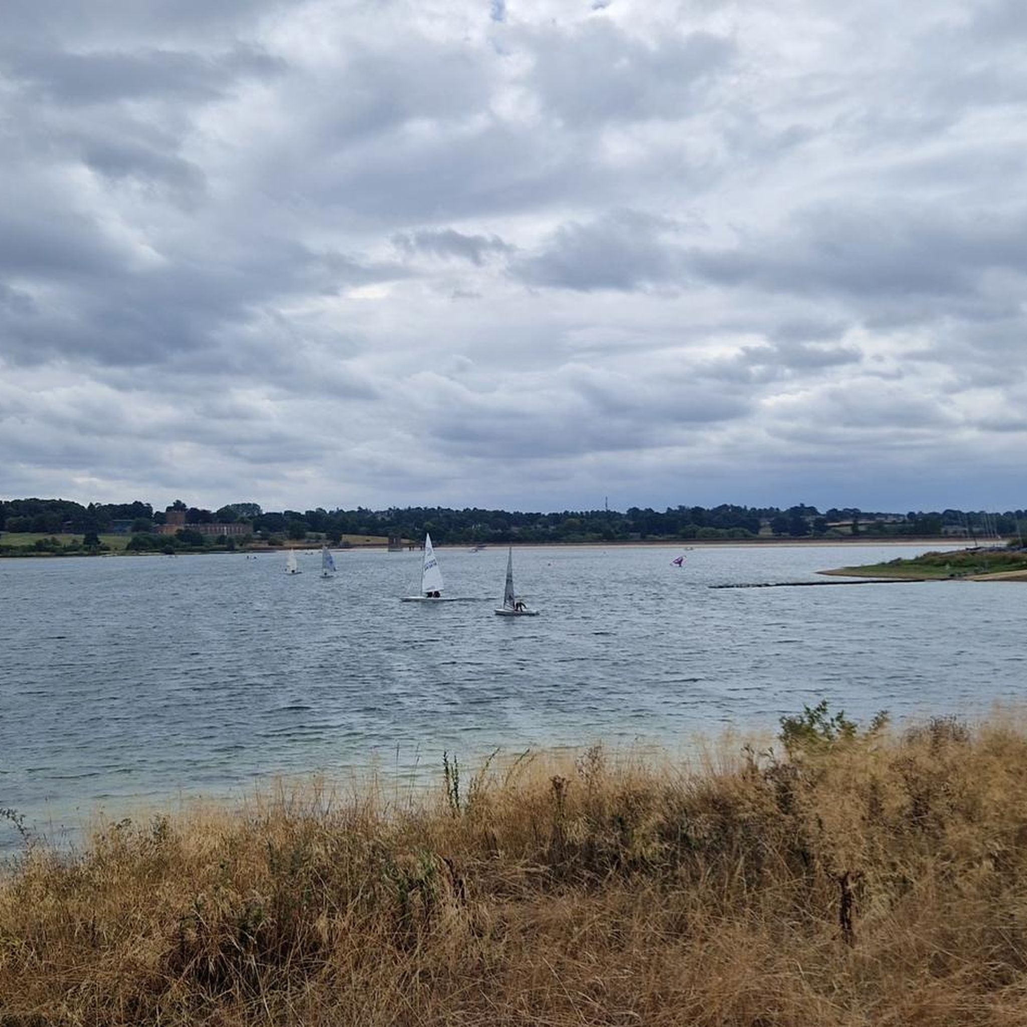
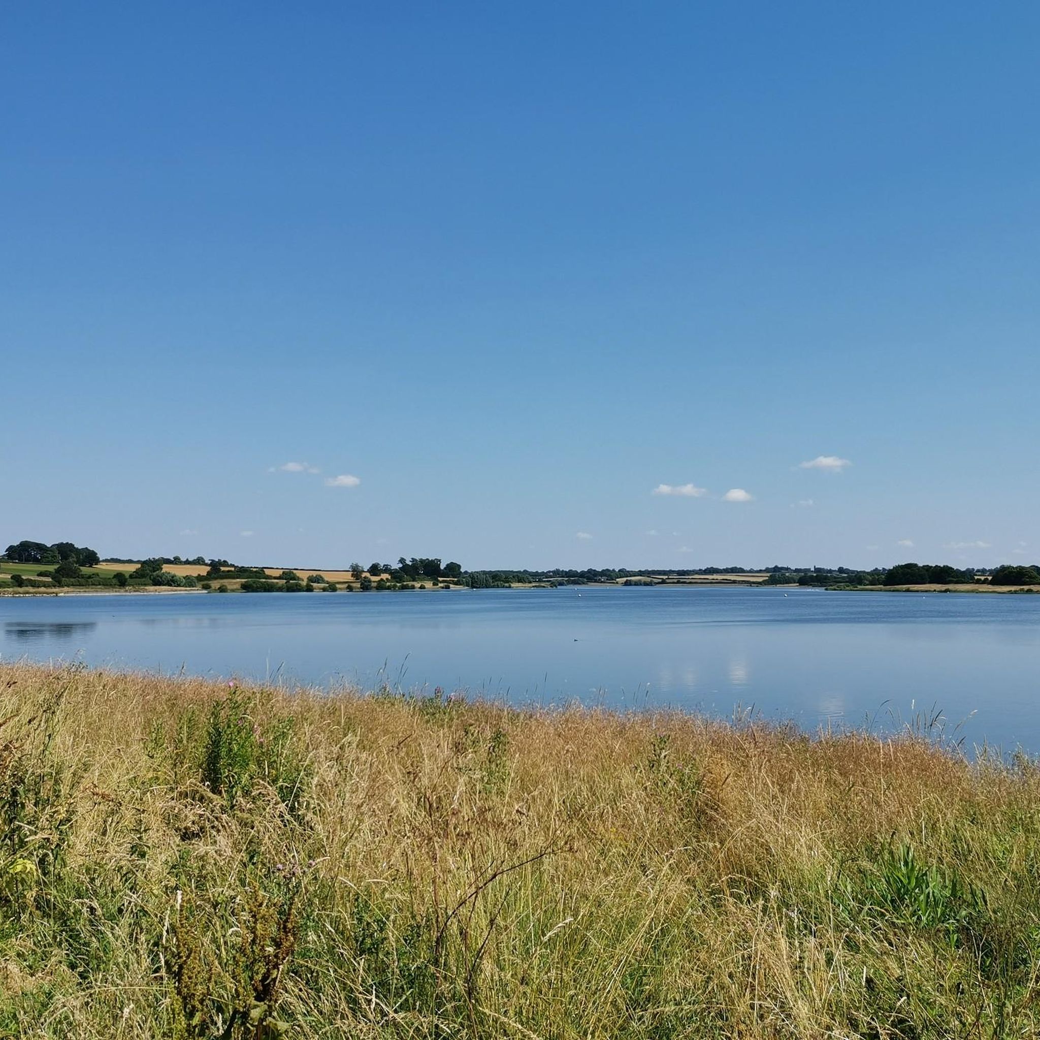
Ravensthorpe reservoir and weir was built in 1890 to supply water to Northampton. Today you can wander around the beautiful water source and enjoy bird-watching, fishing, or just an opportunity to get some fresh air.
2
0
Idyllic spot for a picnic as well as a regular hang-out spot for some of our feathered friends such as geese and swans, and some rarer species such as the ring-necked duck and common crane.
1
0

Where maps and the British landscape are concerned, Cold Ashby has something of a claim to fame. It was here, on 18 April 1936, that the Ordnance Survey's first trig pillar was erected, starting the Retriangulation of Great Britain, which saw over 11,000 pillars installed in order to accurately map the land. Unsurprisingly, given Cold Ashby's selection as a trig point venue, it occupies high ground. In fact, this is the highest village in Northamptonshire, at 656 feet (200 m) above sea level.
0
0

You won't find many grander locations for your mid ride pit stop! A lovely terrace to sit out on and refresh before continuing on your way.
0
0
Stunning views across the heart of England await from Honey Hill, one of the most beautiful spots – as well as the highest point – on the Jurassic Way long-distance trail. In fact, it was here the trail was launched in 1994. On a clear day, it's possible to see five different counties from the top. After periods of rainfall, the trails can be boggy here, so decent hiking footwear is recommended.
1
0
Frequently Asked Questions
How many hiking trails are available around Guilsborough?
There are over 180 hiking trails around Guilsborough, offering a wide variety of options for different preferences and fitness levels. This includes 71 easy routes, 105 moderate routes, and 9 more challenging trails.
What kind of terrain can I expect on hikes near Guilsborough?
The terrain around Guilsborough is quite diverse, featuring reservoir paths, dense woodlands like Harlestone Firs, and elevated village routes. You'll find a mix of easy, accessible paths and some routes with significant elevation gain. Be aware that after rainfall, some trails, particularly around Honey Hill, can become boggy, so appropriate hiking footwear is recommended.
Are there many circular hiking routes around Guilsborough?
Yes, many of the trails around Guilsborough are designed as loops. For example, the popular Ravensthorpe Reservoir route is a scenic loop, and the Coton Manor Garden Café – Guilsborough Church loop also offers a pleasant circular walk through the countryside.
What natural features or landmarks can I discover while hiking in Guilsborough?
Guilsborough offers several notable natural features and landmarks. You can explore the picturesque Pitsford Water, which features open grassed areas, or enjoy birdwatching around Ravensthorpe Reservoir. Honey Hill provides stunning views across five different counties on a clear day, and Harlestone Firs is a beautiful woodland with miles of paths. For a unique experience, the unlit Kelmarsh Tunnels are part of the Brampton Valley Way.
Are there any family-friendly hiking options in Guilsborough?
Yes, there are several easy routes suitable for families. The Ravensthorpe Reservoir loop is an easy 1.7-mile hike, perfect for all ages. Another accessible option is the Coton Manor Garden Café – Guilsborough Church loop, which is also considered easy and takes about 1 hour 15 minutes to complete.
Are the hiking trails around Guilsborough dog-friendly?
Many areas around Guilsborough are dog-friendly. For instance, Harlestone Firs is specifically noted as a dog-friendly forest with numerous paths to explore. When hiking with dogs, always ensure they are under control, especially near livestock, and check for any specific local restrictions.
What do other hikers enjoy the most about hiking in Guilsborough?
The area is highly rated by the komoot community, with an average score of 4.4 stars from over 500 reviews. Hikers often praise the diverse landscapes, from tranquil reservoir paths to elevated viewpoints offering expansive vistas, and the variety of routes suitable for different fitness levels.
Are there any cafes or amenities near the hiking trails?
Yes, some trails offer convenient amenities. Pitsford Water, for example, provides a cafe, public toilets, and bike hire facilities. The Coton Manor Garden Café – Guilsborough Church loop also starts near a cafe, offering a good spot for refreshments before or after your walk.
What is the highest point I can reach on a hike near Guilsborough?
You can experience high-ground perspectives from Cold Ashby, which is recognized as the highest village in Northamptonshire at 656 feet (200 m) above sea level. The Cold Ashby Village – Overgrown Bridleway Path loop from Thornby is a moderate route that takes you through this elevated area.
What are some longer, more challenging hikes available?
For those seeking a longer challenge, the Cold Ashby Village loop from Thornby is a moderate 12.9 km route with over 130 meters of elevation gain. Another moderate option is the Ravensthorpe Reservoir – Ravensthorpe Reservoir Weir loop from Guilsborough, covering over 10 km with similar elevation changes.
What is the best time of year to hike around Guilsborough?
Guilsborough offers hiking opportunities year-round. Spring and summer provide pleasant weather for exploring, while autumn brings beautiful foliage. However, after rainfall, some trails, particularly around Honey Hill, can become boggy, so appropriate waterproof footwear is advisable, especially during wetter seasons.
Most popular routes around Guilsborough
Most popular attractions around Guilsborough

Get inspired with the komoot mobile app


Explore more
Browse the best Hikes in other regions.
