The best road cycling routes around Wörth am Rhein
4.5
(3339)
46,745
riders
51
rides
Road cycling routes around Wörth am Rhein are characterized by a diverse landscape, featuring the expansive Rhine River and its floodplain forests. The region offers a network of routes that traverse flat terrain along the riverbanks and extend into areas with slight elevation changes. Cyclists can explore the tranquil Bienwald Forest or connect to routes leading towards the German Wine Route and across the French border. This geographical position provides varied road cycling experiences for different preferences.
Best road cycling routes around Wörth am Rhein
- The most popular road cycling route is Rheinhauptdeich Cycle Path – Café zur Ziegelei loop from Wörth Zügelstraße, a 35.4 miles (57.0 km) trail that takes 2 hours 12 minutes to complete. This moderate route follows the Rhine River, offering consistent flat terrain.
- Another top favourite among local road cyclists is Bienwald Road – Bienwaldmühle loop from Schaidt (Pfalz), an easy 21.4 miles (34.5 km) path. This route leads through the tranquil Bienwald Forest, providing a serene cycling experience.
- Local road cyclists also love the Pigeonnier Pass – Col du Pigeonnier loop from Maximiliansau Eisenbahnstraße, a 66.3 miles (106.8 km) trail leading through varied terrain with notable elevation changes, often completed in about 4 hours 34 minutes.
- Road cycling around Wörth am Rhein is defined by the Rhine River, extensive floodplain forests, and the Bienwald Forest. The network offers options for different ability levels, from flat riverside paths to routes with more significant climbs.
- The routes in Wörth am Rhein are highly rated by the komoot community with an average score of 4.5 stars from over 90 reviews. More than 1300 road cyclists have used komoot to explore Wörth am Rhein's varied terrain.
Last updated: May 17, 2026
4.7
(36)
458
riders
Moderate road ride. Good fitness required. Mostly well-paved surfaces and easy to ride.
4.3
(13)
87
riders
34.5km
01:23
130m
130m
Easy road ride. Great for any fitness level. Mostly well-paved surfaces and easy to ride.

Sign up for free
5.0
(5)
86
riders
Easy road ride. Great for any fitness level. Mostly well-paved surfaces and easy to ride.
5.0
(5)
63
riders
Easy road ride. Great for any fitness level. Mostly well-paved surfaces and easy to ride.
48
riders
33.0km
01:19
110m
110m
Easy road ride. Great for any fitness level. Mostly well-paved surfaces and easy to ride.
Get access to more routes and recommendations from other explorers.
Sign up for free
Already have an account?
Our route recommendations are based on thousands of hikes, rides, and runs completed by other people on komoot.
Start today with a free account
Your next adventure awaits.
Login or Signup

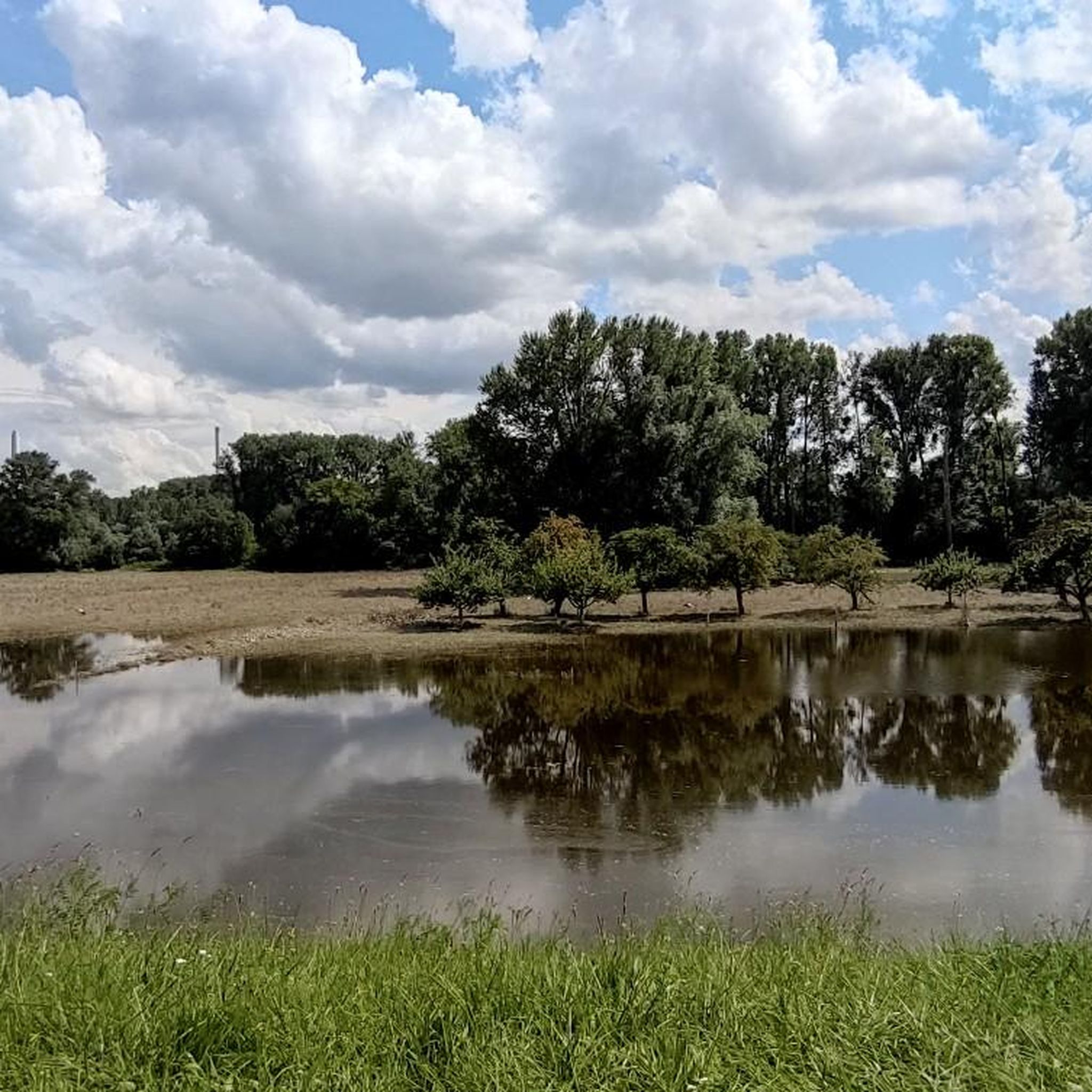
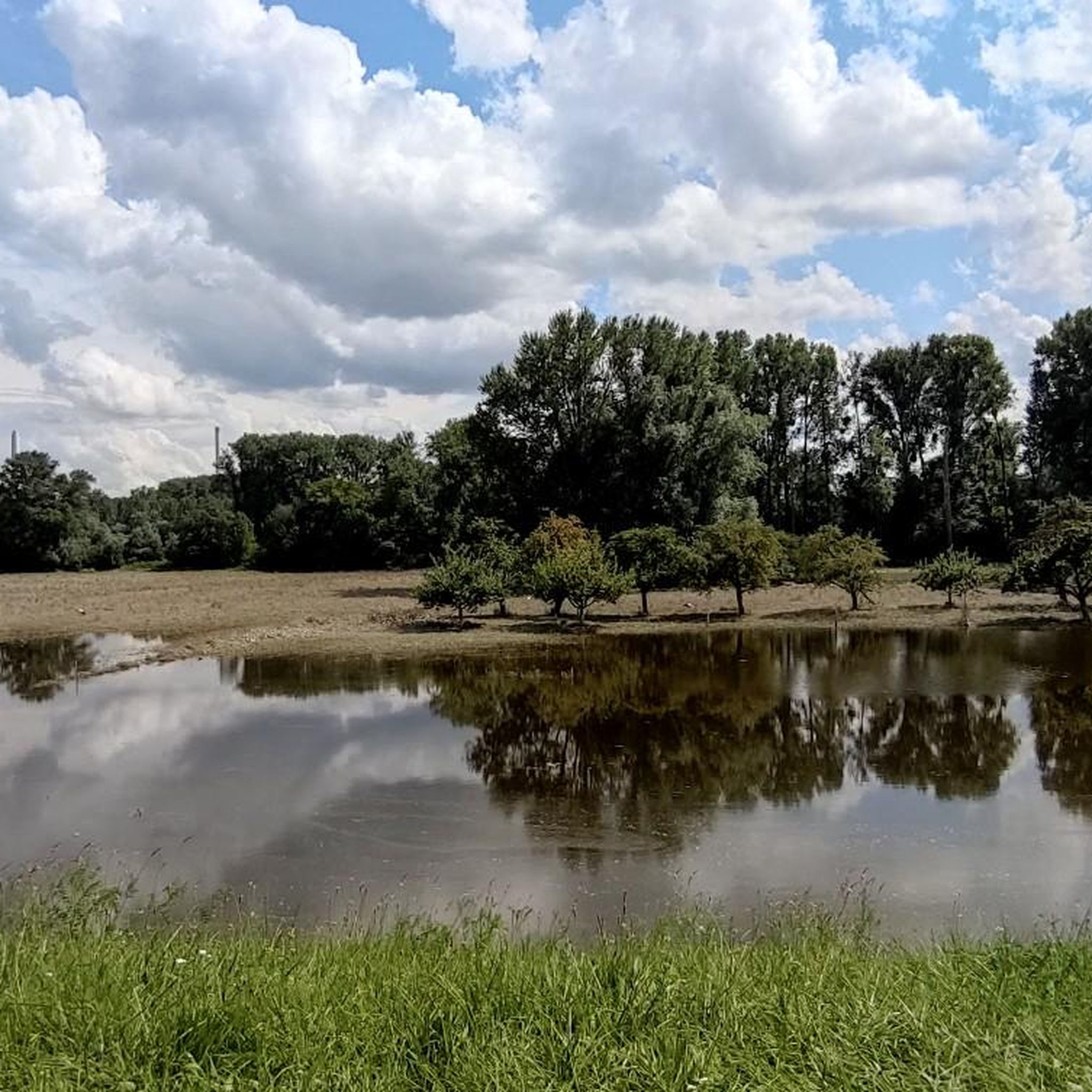
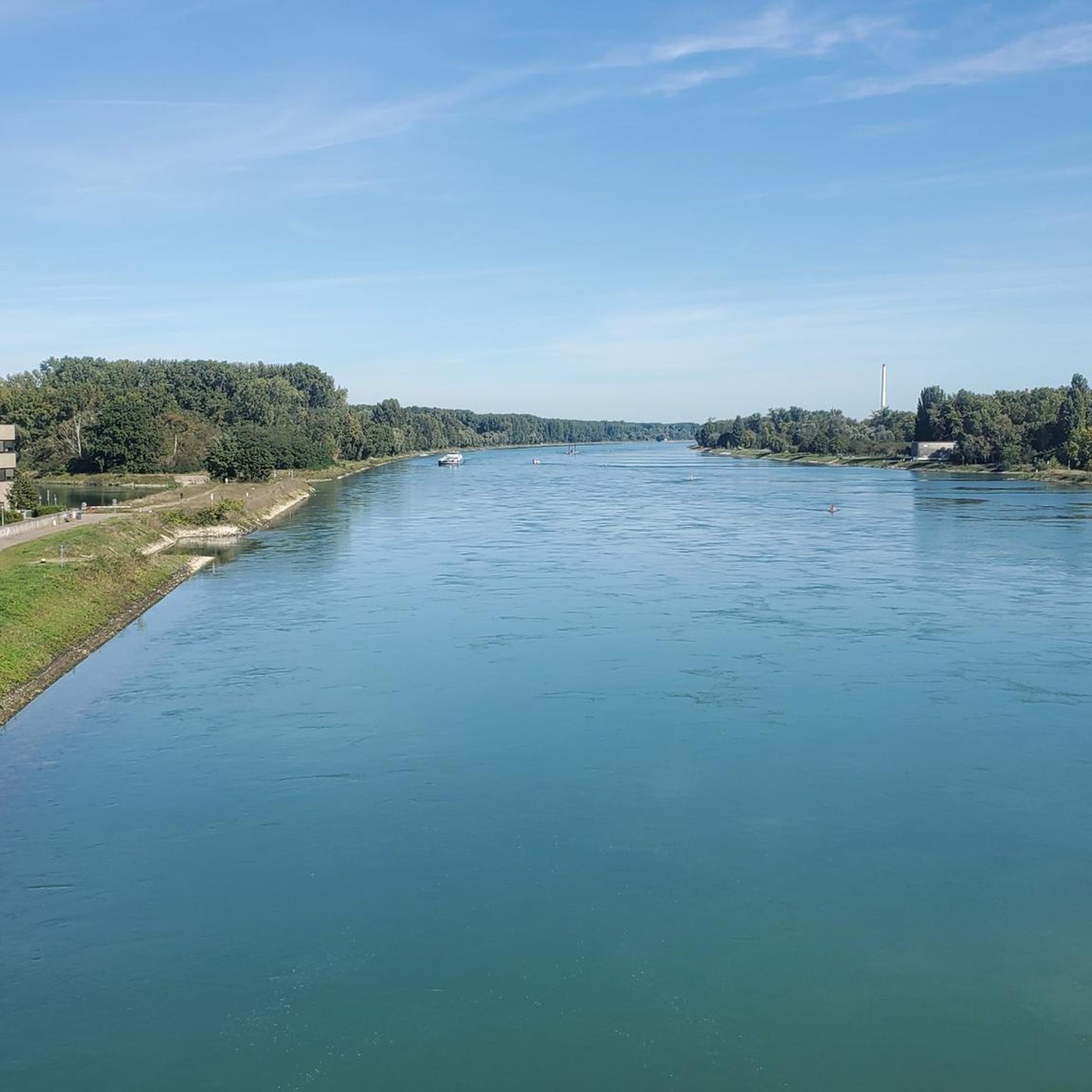
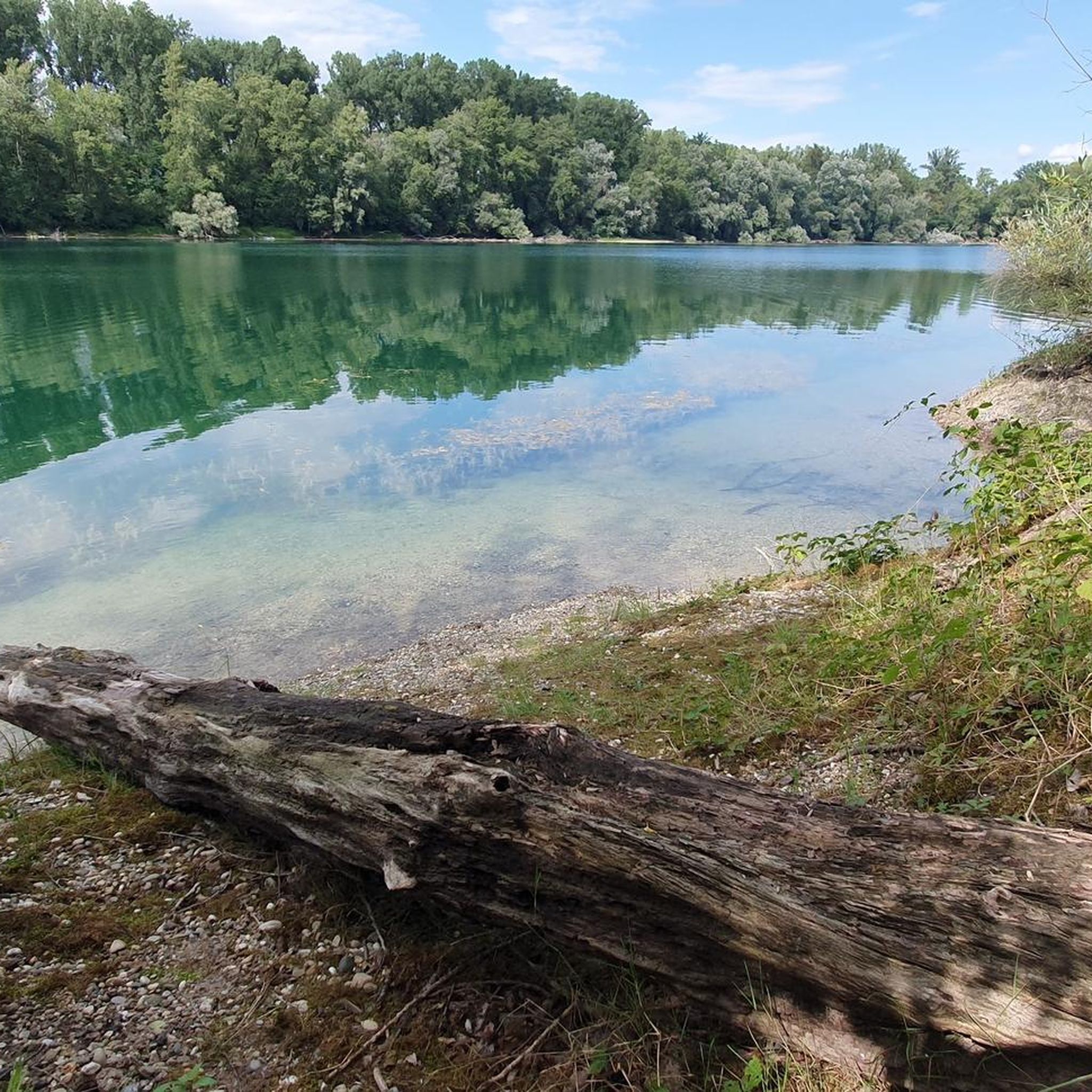

Other adventures around Wörth am Rhein

Tips from the Community

The bridge is called 'Rheinbrücke Maxau'! It is a double bridge for both 1. trains and 2. cars + heavy traffic. Of course, it thus connects BW with RL-Pfalz
0
0

There's a nice bike lane along Siemensallee, but only for cyclists heading into the city. For those heading out of the city, you have to use the shared pedestrian/bike path. This is better suited to a gravel bike/bicycle; it's not very suitable for a road bike heading out of the city.
0
0


Important transition from Baden to the Palatinate
1
0

Delicious cake with a view of the Rhine
0
0

small station with old signal technology super
0
0

Soon the beautiful semaphore signals at Kandel station will be gone.
0
0

Mighty steel colossi for the movement of the masses.
3
2
Frequently Asked Questions
What types of terrain can I expect on road cycling routes around Wörth am Rhein?
The region offers a diverse landscape for road cyclists. You'll find extensive flat terrain along the Rhine River and its floodplain forests, ideal for relaxed rides. However, some routes, particularly those extending towards the German Wine Route or into areas like the Bienwald Forest, may feature slight elevation changes, providing a varied cycling experience.
How many road cycling routes are available in the Wörth am Rhein area?
There are over 50 road cycling routes documented around Wörth am Rhein on komoot. These routes cater to various skill levels, from easy riverside paths to more challenging tours with notable elevation gains.
Are there any easy road cycling routes suitable for beginners or families?
Yes, Wörth am Rhein offers several easy road cycling routes. For example, the Bienwald Road – Bienwaldmühle loop from Schaidt (Pfalz) is an easy 21.4-mile (34.5 km) path through the tranquil Bienwald Forest. Another option is the Old Rhine Cycle Path – Old Rhine Arm near Wörth loop from Wörth Mozartstraße, which is 31.2 miles (31.2 km) and also rated as easy.
What are some scenic natural features or landmarks I can see while road cycling here?
Road cycling routes often follow the majestic Rhine River, offering scenic views of its floodplains and untouched forests. The expansive Bienwald Forest provides a tranquil setting with ancient oak trees. You might also encounter the German Wine Gate (Deutsches Weintor) on routes extending towards the German Wine Route, or pass by the Neuburg-Neuburgweier Rhine Ferry.
Are there any challenging road cycling routes for experienced cyclists?
For experienced cyclists seeking more challenge, routes with significant elevation changes are available. The Pigeonnier Pass – Col du Pigeonnier loop from Maximiliansau Eisenbahnstraße is a moderate 66.3-mile (106.8 km) trail with over 670 meters of ascent, leading through varied terrain and offering a more demanding ride.
Can I find circular road cycling routes in Wörth am Rhein?
Yes, many of the road cycling routes around Wörth am Rhein are designed as loops, allowing you to start and end at the same point. Examples include the popular Rheinhauptdeich Cycle Path – Café zur Ziegelei loop from Wörth Zügelstraße and the Bienwald Road – Bienwaldmühle loop from Schaidt (Pfalz).
What do other road cyclists say about the routes in Wörth am Rhein?
The road cycling routes in Wörth am Rhein are highly rated by the komoot community, with an average score of 4.5 stars from nearly 100 reviews. Cyclists often praise the well-maintained paths, the scenic views along the Rhine, and the tranquil atmosphere of the Bienwald Forest.
What is the best time of year for road cycling in Wörth am Rhein?
The region is generally pleasant for road cycling from spring through autumn. The warmer months offer ideal conditions for exploring the riverside paths and forest trails. While winter cycling is possible, be mindful of colder temperatures and potential icy patches, especially in shaded forest areas.
Are there options for connecting to cycling networks in neighboring regions or countries?
Absolutely. Wörth am Rhein serves as an excellent starting point for tours. You can connect to routes leading towards the German Wine Route, offering varied landscapes. Additionally, routes extend across the border to Lauterbourg in France, linking to the Alsatian tourist cycling network for further exploration.
Are there any places to stop for refreshments or rest along the routes?
Yes, depending on your chosen route, you'll find opportunities for refreshments. The region has various cafes and restaurants, particularly in towns and villages along the Rhine or near popular cycling paths. For specific options, you can check komoot's highlight section for huts and cabins, such as Naturfreundehaus Kandel or Wine Trail Hut, which might be accessible from some routes.
Where can I find parking for my car when starting a road cycling tour?
Many starting points for road cycling routes in and around Wörth am Rhein offer parking facilities. For instance, routes often begin near town centers or specific landmarks where public parking is available. It's advisable to check the specific route details on komoot for recommended parking locations at the trailhead.
Can I reach the cycling routes using public transport?
Wörth am Rhein is generally well-connected by public transport, making it possible to reach various starting points for cycling routes. Local train and bus services can transport you and your bike to different parts of the region, allowing for one-way tours or easier access to specific trailheads.
Most popular routes around Wörth am Rhein
Most popular attractions around Wörth am Rhein

Get inspired with the komoot mobile app


Explore more
Browse the best Road cycling routes in other regions.
