The best road cycling routes around Wörnersberg
4.6
(132)
1,454
riders
80
rides
Road cycling routes around Wörnersberg traverse a landscape characterized by rolling hills, dense forests, and river valleys. The region features varied terrain, including climbs and descents, with routes often following waterways like the Nagold and Zinsbach. Reservoirs and small lakes are also present, offering scenic sections. This area provides a mix of challenging ascents and more moderate valley rides for road cyclists.
Best road cycling routes around Wörnersberg
- The most popular road cycling route is Climb Erzgrube–Besenfeld – Murgtal Rock…
Last updated: July 3, 2026
5.0
(2)
74
riders
91.4km
04:53
1,630m
1,630m
Hard road ride. Very good fitness required. Mostly well-paved surfaces and easy to ride.
5.0
(2)
51
riders
64.6km
03:19
880m
880m
Moderate road ride. Good fitness required. Some segments of this route may be unpaved and difficult to ride.

Sign up for free
5.0
(2)
21
riders
70.1km
03:37
930m
920m
Hard road ride. Very good fitness required. Some segments of this route may be unpaved and difficult to ride.
4.8
(14)
95
riders
30.6km
01:29
240m
240m
Moderate road ride. Great for any fitness level. Some segments of this route may be unpaved and difficult to ride.
27
riders
43.4km
02:02
490m
490m
Moderate road ride. Good fitness required. Some segments of this route may be unpaved and difficult to ride.
Get access to more routes and recommendations from other explorers.
Sign up for free
Already have an account?
Our route recommendations are based on thousands of hikes, rides, and runs completed by other people on komoot.
Start today with a free account
Your next adventure awaits.
Login or Signup

Tips from the Community

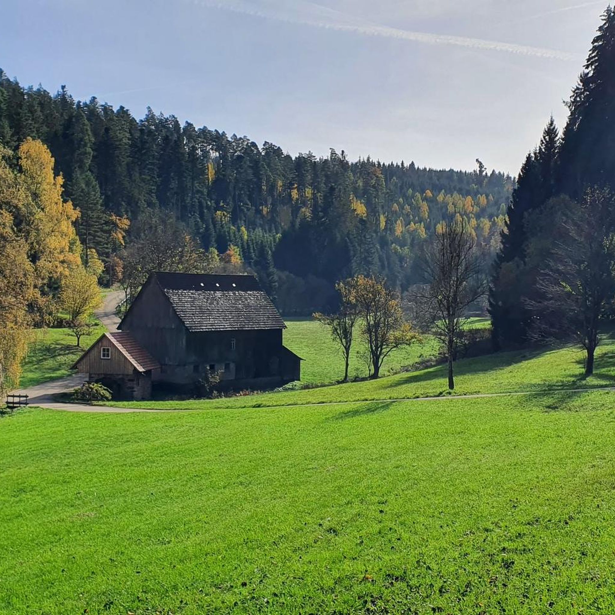
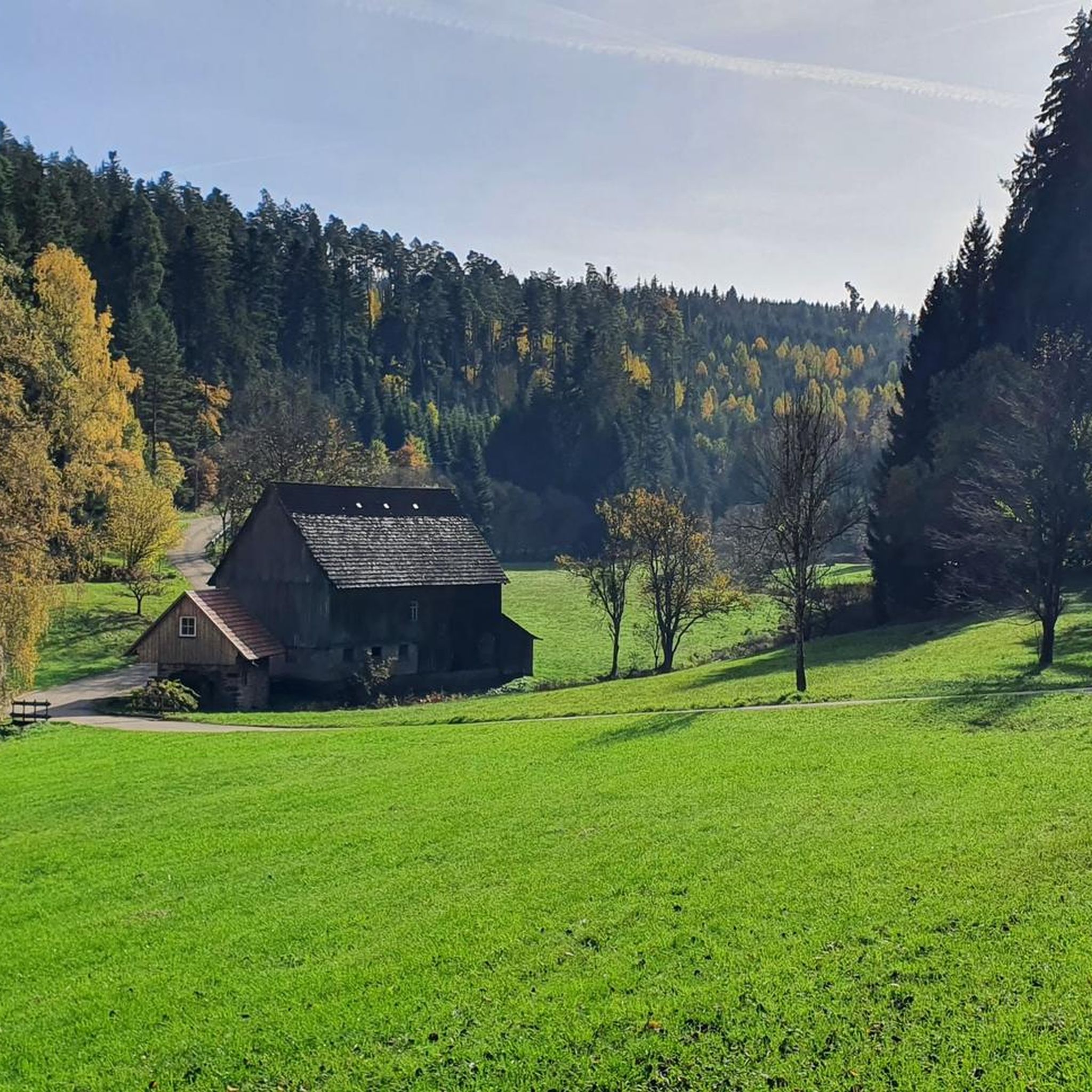
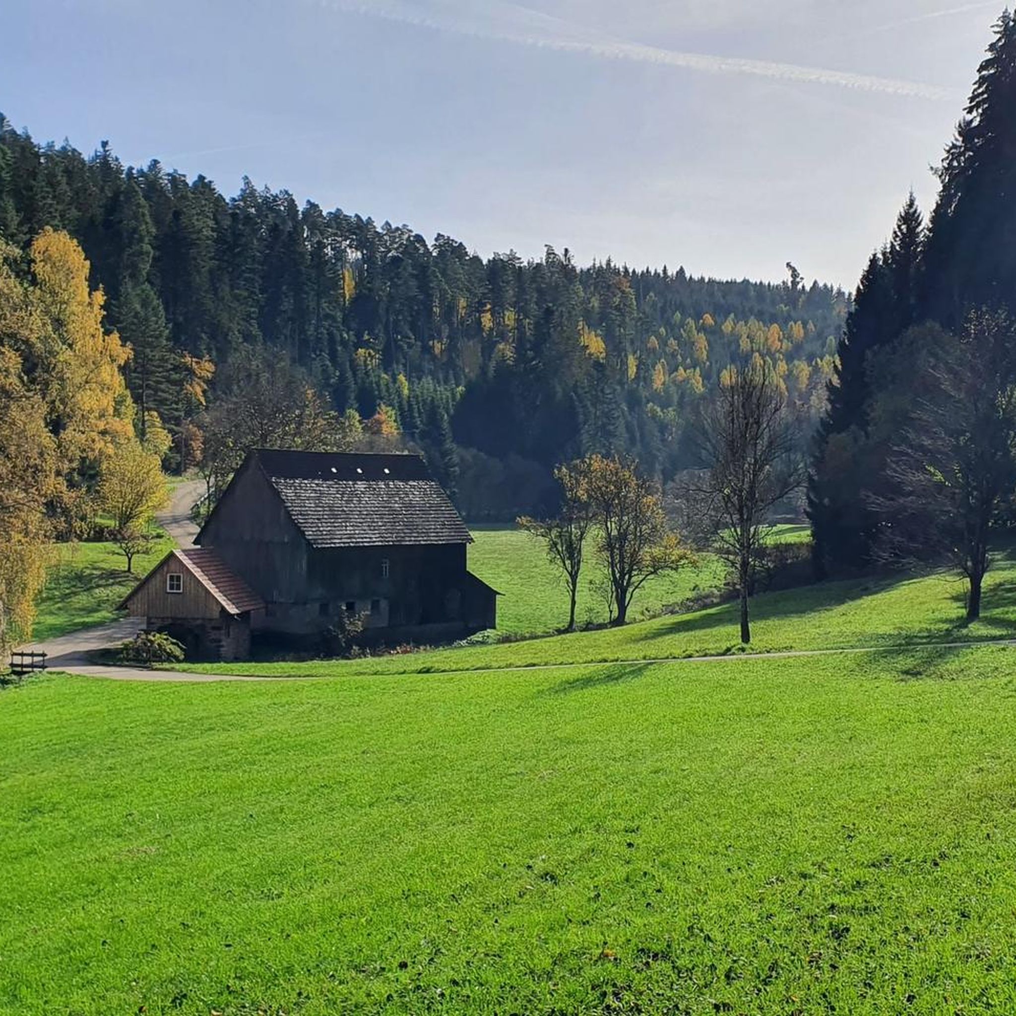
The Zinsbachmühle is a historic, former grain mill in the idyllic Zinsbachtal in the Northern Black Forest, whose origin at the present location dates back to 1555.
2
0
The Kohlsägmühle is already more than 400 years old. It was first mentioned in writing in 1614, located in the Zinsbachtal valley and named after the small stream Kohlbächlein. This date is mentioned in both the Altensteiger Forstlagerbuch and the Dorfbuch of Garrweiler, in whose district the mill stands. From the beginning, it was owned by several forest farmers. Today it belongs to more than 40 co-owners from Garrweiler, Spielberg and Überberg, Grömbach, Wörnersberg and Edelweiler - it is the only mill in the district with such an ownership structure.
2
0

Absolute premium viewpoint over the timber-framed village of Reichental and the Murgtal valley, as well as Baden's local mountains. Especially worthwhile at sunset. However, it is also quite crowded because you can drive directly to it and park. In winter, when the snow tourists are out, there can sometimes be scuffles for the last parking space lol. In summer, there is a motorcycle meet here daily from noon until late at night. Many behave correctly - also towards cyclists - and because I am there very often, you already know one or two people you can have a nice chat with. Unfortunately, some testosterone-driven clowns with prepubescent cerebral cortex completely overdo it and accelerate full throttle again or even do wheelies to impress each other. Similar game with those who rent a sports car over the weekend and want to test the acceleration from 100 to 200 here again, without ever having completed a sporty/race-oriented driving safety training, but at best have "practiced" on Need for Speed on the PlayStation with a controller. This is not only incredibly unpleasant, but also extremely dangerous. Coming from the Enztal, when turning left into the parking lot, it is better to make sure 5 times that no one is coming. I never stay here long because of the sometimes aggressive atmosphere, even though a lounger would invite you to linger.
0
0

A worthwhile stopover for the view
0
0
The Bömbachsee near Altensteig-Spielberg is idyllically situated, surrounded by forests in the middle of the countryside, and invites you to swim. The small lake is easily accessible via the Ziegelweg, and parking is available. A large sunbathing lawn with shady trees adjoins the eastern shore.
6
0

In some pictures, a small wooden hut can be seen. Unfortunately, it burned down. Maybe a new one will be built; that would be nice.
2
0

MAGNIFICENT FOREST LANDSCAPE OVER THE NOW BLOOMING SCATTERED ORCHARDS
0
0

The elevation information has since disappeared from the sign. At 933 meters, it is the highest Black Forest pass north of the Murg River. The Murg side is significantly steeper and has a higher elevation gain than the Enz side. Coming from Reichental, the climb is also nicknamed the "Kaltenbronner Wand," reflecting its challenging nature.
0
1
Frequently Asked Questions
How many road cycling routes are available around Wörnersberg?
There are over 80 road cycling routes around Wörnersberg, offering a wide range of options for different skill levels and preferences.
What are the difficulty levels of road cycling routes in Wörnersberg?
The routes around Wörnersberg cater to all levels. You'll find 6 easy routes, 56 moderate routes, and 20 difficult routes, ensuring there's a challenge for every road cyclist.
Are there any easy road cycling routes suitable for beginners in Wörnersberg?
Yes, Wörnersberg offers several easier routes. For a moderate option that's still accessible, consider the Nagold Old Town – Nagold City Park loop from Altensteig, which is about 30.8 km long with less elevation gain.
Where can I find challenging road cycling routes with significant climbs near Wörnersberg?
For a challenging ride, the Climb Erzgrube–Besenfeld – Murgtal Rock Tunnel loop from Altensteig is an excellent choice. This difficult route spans 91.4 km and features over 1,600 meters of elevation gain, including a notable rock tunnel section.
Are there circular road cycling routes around Wörnersberg?
Many routes in the Wörnersberg area are designed as loops. For example, the Zinsbachmühle – Zinsbach Valley Road loop from Pfalzgrafenweiler offers a scenic circular journey through the Zinsbach Valley.
What attractions or landmarks can I see along road cycling routes in Wörnersberg?
Road cycling routes often pass by scenic attractions. You might encounter the Nagold Reservoir (Erzgrube), Nagold Reservoir (Nagoldtalsperre), or the tranquil Waldsee Lützenhardt. Some routes also go near the Bösinger Wasserhäusle Pumping Station and Waterwheel.
Are there any waterfalls accessible by road bike near Wörnersberg?
Yes, the region features several waterfalls. You could plan a route that takes you near the Waterfall at the Lenzinsägmühle or the Nagold Waterfall, offering beautiful natural sights.
What is the best time of year for road cycling in Wörnersberg?
The best time for road cycling in Wörnersberg is typically from spring through autumn, when the weather is mild and the forests are lush. Summer offers longer daylight hours, while spring and autumn provide pleasant temperatures and vibrant scenery.
What are the conditions like for road cycling in Wörnersberg during winter?
During winter, road cycling conditions in Wörnersberg can be challenging due to colder temperatures, potential ice, and snow, especially in higher elevations or shaded forest sections. It's advisable to check local weather and road conditions before heading out.
Is there parking available at the start of road cycling routes in Wörnersberg?
Parking is generally available in and around the starting points of many routes, particularly in towns like Altensteig or Pfalzgrafenweiler. Look for designated parking areas in these communities when planning your ride.
What do other road cyclists say about the routes in Wörnersberg?
The road cycling routes in Wörnersberg are highly rated by the komoot community, with an average score of 4.6 stars from over 120 reviews. Cyclists often praise the varied terrain, scenic river valleys, and well-maintained paths.
Are there family-friendly road cycling options in Wörnersberg?
While many routes involve hills, some of the easier and moderate options, particularly those following valley floors, can be suitable for families with older children. Always check the route's elevation profile and distance to ensure it matches your family's ability.
What are some scenic road cycling routes with good viewpoints in Wörnersberg?
The region is known for its scenic beauty. Routes that traverse the Nagold and Zinsbach valleys, or those that pass by reservoirs like the Nagoldtalsperre, often offer picturesque views of the forested hills and waterways.
Most popular routes around Wörnersberg
Most popular attractions around Wörnersberg

Get inspired with the komoot mobile app


Explore more
Browse the best Road cycling routes in other regions.
