The best walks and hikes around Wolpertswende
4.5
(5764)
24,073
hikers
74
hikes
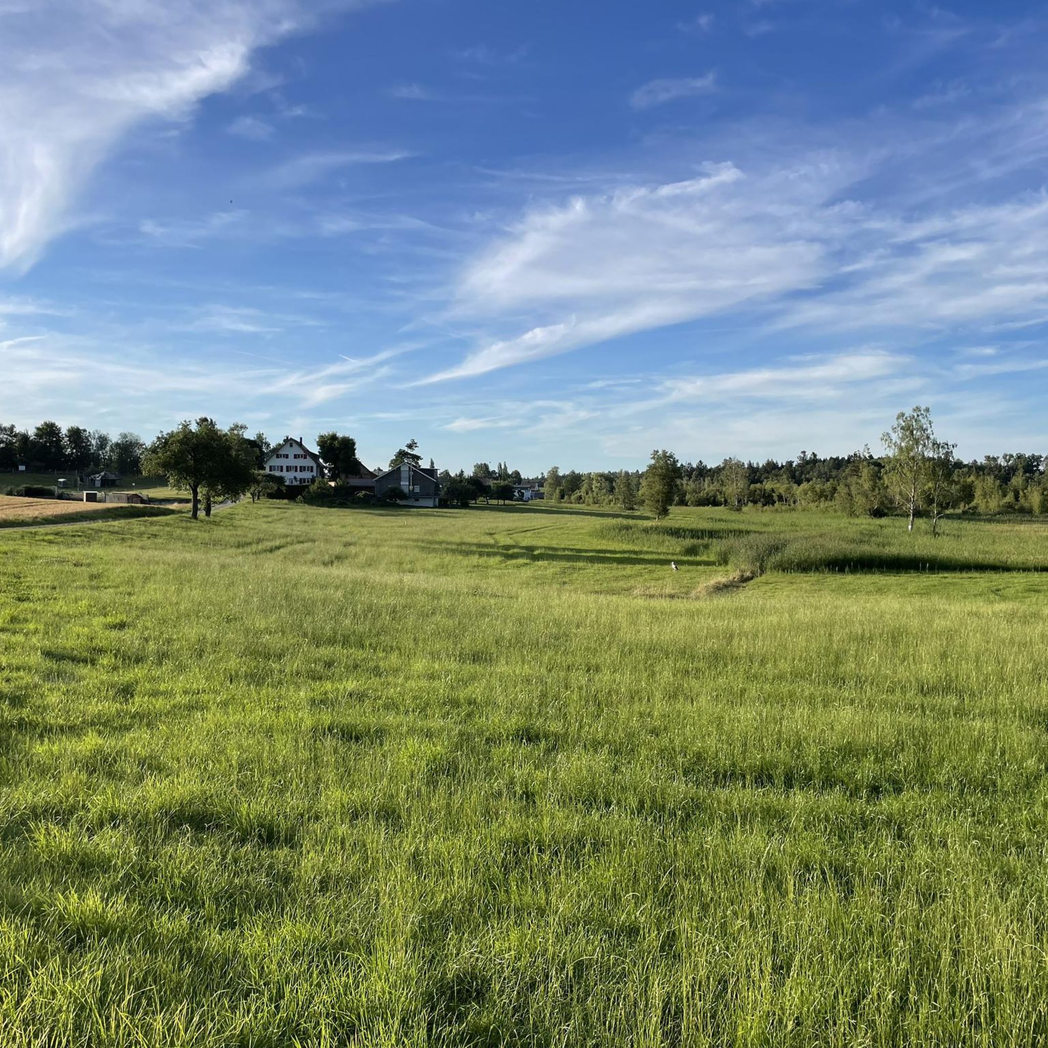
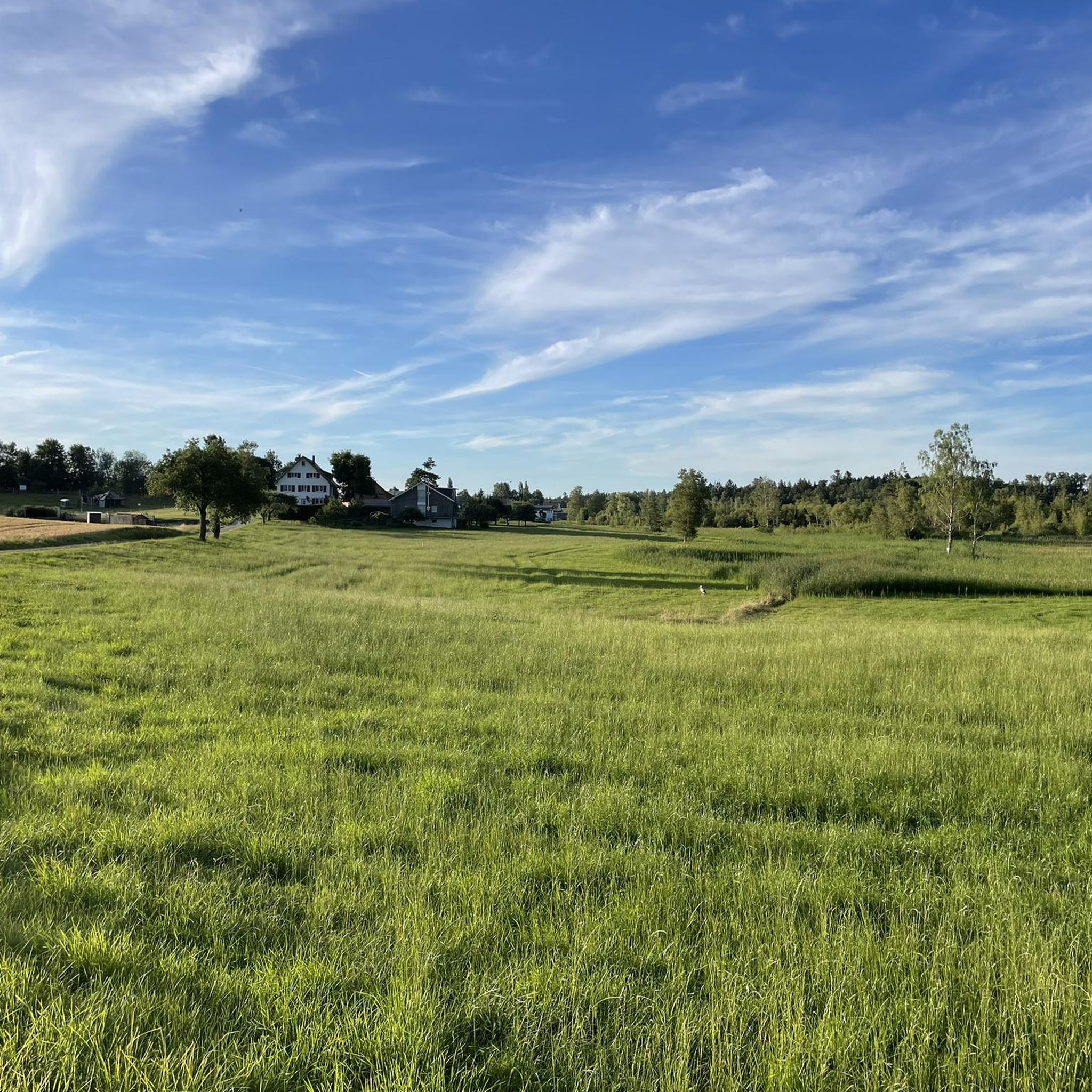
Hiking around Wolpertswende offers diverse landscapes characterized by rolling hills, lush meadows, and dense forests. The region features notable natural elements such as the Blitzenreuter Seenplatte, a lake district with forests, moors, and various lakes formed during the last Ice Age. Small streams traverse the untouched nature, providing a varied terrain for outdoor activities. The area includes moorlands and offers panoramic views of the surrounding valleys.
Best hiking trails around Wolpertswende
- The most popular hiking route is Schreckensee Observation Shelter…
Last updated: July 4, 2026
4.8
(328)
1,039
hikers
Moderate hike. Good fitness required. Easily-accessible paths. Suitable for all skill levels.
4.9
(90)
322
hikers
9.94km
02:35
70m
70m
Moderate hike. Good fitness required. Easily-accessible paths. Suitable for all skill levels.

Sign up for free
4.7
(66)
254
hikers
6.32km
01:38
40m
40m
Easy hike. Great for any fitness level. Easily-accessible paths. Suitable for all skill levels.
4.4
(32)
109
hikers
Moderate hike. Good fitness required. Easily-accessible paths. Suitable for all skill levels.
4.0
(4)
20
hikers
9.69km
02:30
50m
50m
Moderate hike. Good fitness required. Easily-accessible paths. Suitable for all skill levels.
Get access to more routes and recommendations from other explorers.
Sign up for free
Already have an account?
Our route recommendations are based on thousands of hikes, rides, and runs completed by other people on komoot.
Start today with a free account
Your next adventure awaits.
Login or Signup

Other adventures around Wolpertswende

Tips from the Community

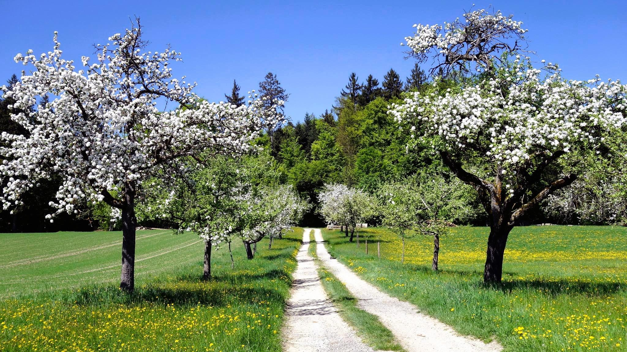
The path is beautiful in every season. Especially in spring, when nature awakens and the first blossoms add splashes of color.
1
0

Theresia Moosherr started the project with the oak sculptures of the "Water Guardians" here in 2011.
3
0

Also very beautiful in winter and recommendable 👍
0
0

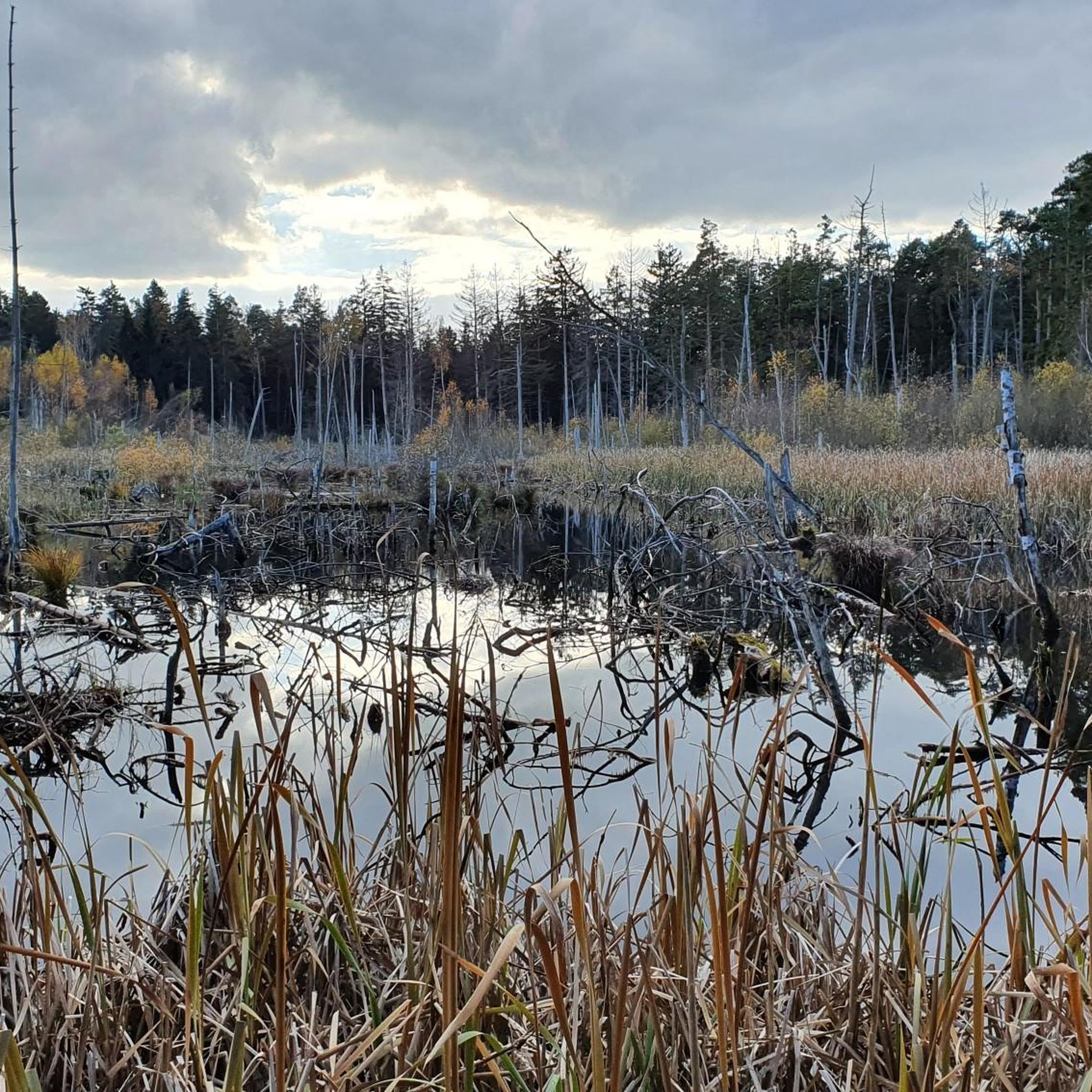
The Blitzenreuter Lake District has been known as an ecologically valuable area for many years. As early as 1924, the central raised bog core and its non-peat-drained surroundings were protected as a protected forest. In 1937, other parts of the area were designated as a nature reserve (Dornacher Ried with Häckler Ried, Häcklerweiher and Buchsee). In 1939, the Schreckensee was added, and in 1971 the Vorsee and Wegenried were added. Source: https://www.zwischenschussenundseen.de/index.php?id=15
1
0
The Blitzenreuter Lake District has been known as an ecologically valuable area for many years. As early as 1924, the central raised bog core and its non-peat-drained surroundings were protected as a protected forest. In 1937, other parts of the area were designated as a nature reserve (Dornacher Ried with Häckler Ried, Häcklerweiher and Buchsee). In 1939, the Schreckensee was added, and in 1971 the Vorsee and Wegenried were added. Source: https://www.zwischenschussenundseen.de/index.php?id=15
1
0
Very attractive even in winter.
1
0
Even in winter it is nice to take a walk there.
1
0

Even though the bench looks a bit crooked, it is very comfortable to sit on and has a great view of the reed beds and the foreshore.
0
0
Frequently Asked Questions
How many hiking trails are available in Wolpertswende?
Wolpertswende offers a wide selection of hiking opportunities, with over 70 routes to explore. These range from easy strolls to more challenging treks, ensuring there's something for every hiker.
Are there easy hiking trails suitable for beginners or families in Wolpertswende?
Yes, Wolpertswende is very welcoming for beginners and families. Over 40 of the routes are classified as easy. A great option is the Lake Vorsee, Wolpertswende – Häckler Pond loop, an easy 6.28 km trail through the scenic lake district, typically completed in about 1 hour 37 minutes. The 'Panoramarunde' is also known for being family-friendly and offers stunning views.
What kind of landscapes can I expect to see while hiking in Wolpertswende?
The region boasts diverse landscapes, including rolling hills, lush meadows, and dense forests. You'll encounter the unique ecosystems of the Blitzenreuter Seenplatte lake district with its forests, moors, and various lakes, as well as ecologically valuable moorlands like Dornacher Ried and Wolpertswender Ried. Many trails also offer panoramic views of the surrounding valleys and, on clear days, even the distant Allgäu and Swiss Alps.
Are there any circular hiking routes in the area?
Absolutely, Wolpertswende features several popular circular routes. The Schreckensee Observation Shelter – Häckler Pond loop is a moderate 8.77 km trail, and the Häckler Pond – Bannwald Protected Forest loop is another moderate 10.80 km option. The 'Sonnenweg' is also a notable circular path, approximately 6 km long, traversing the Dornacher- and Wolpertswender Ried.
Can I bring my dog on the hiking trails in Wolpertswende?
Most hiking trails in Wolpertswende are dog-friendly, allowing you and your canine companion to enjoy the natural beauty together. However, it's always advisable to keep dogs on a leash, especially in protected areas like the moorlands or near wildlife, and to respect local regulations and other hikers.
What are some scenic viewpoints or natural attractions to look out for?
Wolpertswende offers several spots for breathtaking views. The Hatzenturm provides splendid vistas extending to Kloster Blönried, Kloster Reute, the Vorarlberg Alps, and Lake Constance. The 'Panoramarunde' route is specifically designed for stunning views. Additionally, the Blitzenreuter Seenplatte lake district and the unique moorlands like Dornacher Ried offer picturesque natural scenery. Don't miss the Häckler Pond, a beautiful lake that features in several popular routes.
Are there any waterfalls near Wolpertswende?
Yes, there are beautiful waterfalls in the vicinity of Wolpertswende. You can explore the Schmalegger Tobel Waterfall and the Weissenbronnen Waterfalls, both offering refreshing natural sights along your hike.
When is the best time of year to go hiking in Wolpertswende?
The best seasons for hiking in Wolpertswende are spring and autumn. During these times, the mild temperatures and vibrant colors of the landscape create an enhanced outdoor experience. For summer hikes, it's recommended to go in the early morning or late evening to avoid the midday heat.
What do other hikers say about the trails in Wolpertswende?
The hiking routes in Wolpertswende are highly rated by the komoot community, with an impressive average score of 4.5 stars from over 5,200 reviews. Hikers frequently praise the diverse terrain, the well-maintained paths, and the stunning panoramic views, particularly highlighting the tranquility of the lake and moorland landscapes.
Are there any historical points of interest along the hiking routes?
Yes, you can encounter historical sites while exploring the region. The Gangolfskapelle, a Baroque chapel dating back to around 1705, is a notable point of interest that can be included in some routes, adding a cultural dimension to your outdoor adventure.
Are there longer, more challenging routes for experienced hikers?
While Wolpertswende is known for its accessible trails, there are options for more experienced hikers. The region includes sections of the 'Schwabensteig', a long-distance hiking trail stretching from Ulm to Lake Constance, offering opportunities for longer, more immersive treks through pristine nature. The Bannwald Protected Forest – Häckler Pond loop, at nearly 14 km, provides a moderate challenge.
Most popular routes around Wolpertswende
Most popular attractions around Wolpertswende

Get inspired with the komoot mobile app


Explore more
Browse the best Hikes in other regions.
