The best walks and hikes around Wolmirstedt
4.6
(2236)
12,974
hikers
71
hikes
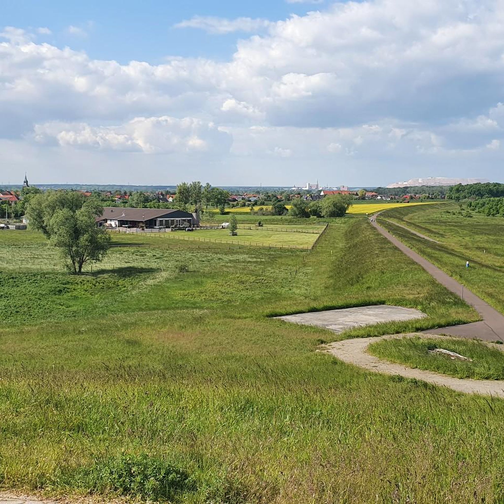
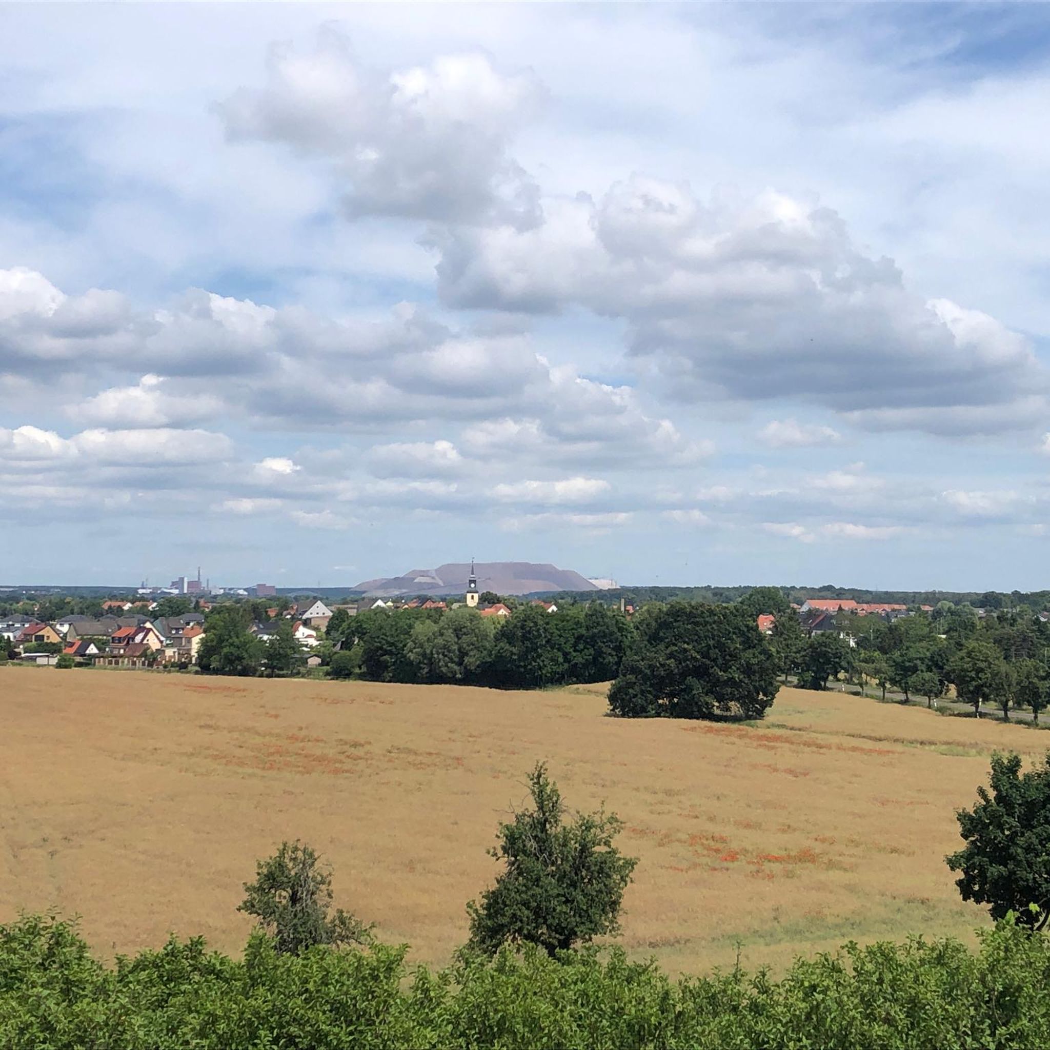
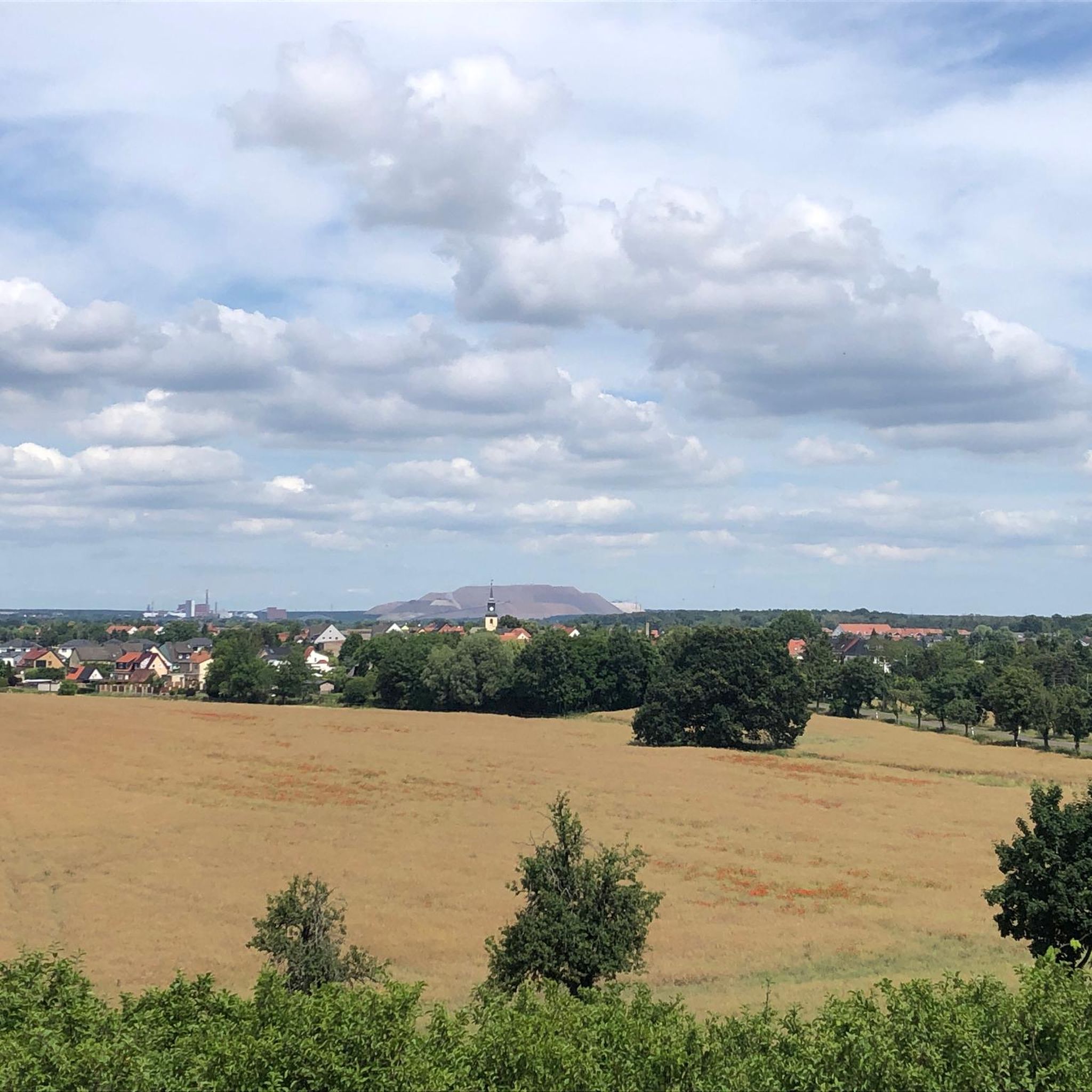
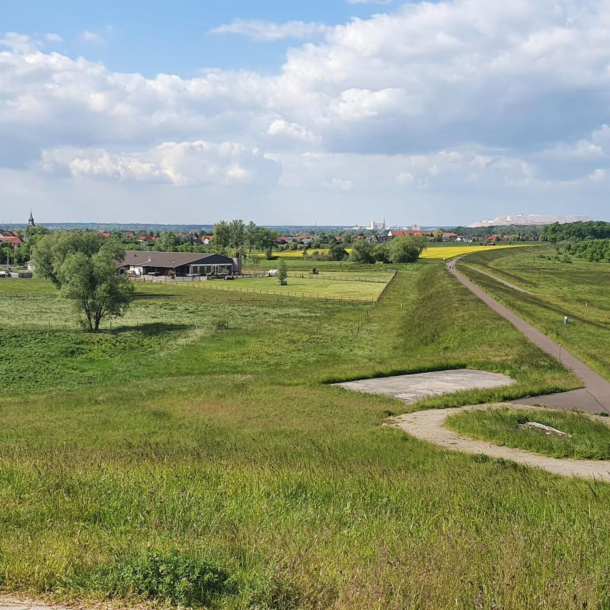
Hiking around Wolmirstedt offers diverse landscapes, characterized by meadow environments, riverine paths along the Ohre, and sections of the Drömling Nature Park. The region features a mix of flat terrain suitable for leisurely walks and slightly undulating paths. Historical sites such as Wolmirstedt Castle and the Magdeburg Water Bridge are also accessible within the broader area. The trails provide opportunities to explore both natural features and cultural landmarks.
Best hiking trails around Wolmirstedt
- The most popular hiking route is Hohenwarthe…
Last updated: July 10, 2026
4.2
(10)
23
hikers
Moderate hike. Good fitness required. Easily-accessible paths. Suitable for all skill levels.
4.0
(9)
37
hikers
9.50km
02:24
20m
20m
Moderate hike. Good fitness required. Easily-accessible paths. Suitable for all skill levels.

Sign up for free
5.0
(2)
25
hikers
7.84km
02:00
20m
20m
Easy hike. Great for any fitness level. Easily-accessible paths. Suitable for all skill levels.
5.0
(4)
23
hikers
13.2km
03:20
30m
30m
Moderate hike. Good fitness required. Easily-accessible paths. Suitable for all skill levels.
5.0
(1)
26
hikers
10.7km
02:44
40m
40m
Moderate hike. Good fitness required. Easily-accessible paths. Suitable for all skill levels.
Get access to more routes and recommendations from other explorers.
Sign up for free
Already have an account?
Our route recommendations are based on thousands of hikes, rides, and runs completed by other people on komoot.
Start today with a free account
Your next adventure awaits.
Login or Signup

Tips from the Community

I would like to give you all a little tip, visit the "Bitte" trough bridge at night too. Simply wonderful, the lighting. 👍🚴🚴♀️
0
0

The waterway junction is well worth seeing. It can be reached on foot or by bike; the path is suitable for gravel and road bikes. You can get there quickly via the Herrenkrug or from Rothensee via the boat lift. There is also a motorhome parking space below.
0
0

great view from the trough bridge down to the Elbe
0
0

Easy tour around Lake Barleber
0
0

Great rest stop, 76 m above sea level, 35 m above the Elbe, with a fantastic view. Today we even saw the Brocken in the Harz Mountains!
0
0

High above the banks of the Elbe stands this small, late Romanesque church, built from rubble and fieldstone in the middle of the 13th century, founded by Premonstratensian monks from Magdeburg.
1
0

interesting opportunity to take a closer look at this dimension
1
0

At the moment you can walk along the canal but you cannot cross the Elbe, construction site
1
0
Frequently Asked Questions
How many hiking trails are available around Wolmirstedt?
Wolmirstedt offers a wide variety of hiking options, with over 70 routes recorded on komoot. These range from easy strolls through meadow landscapes to more moderate excursions, ensuring there's a suitable path for almost every preference.
What kind of terrain can I expect on hikes in Wolmirstedt?
The terrain around Wolmirstedt is generally characterized by diverse landscapes, including flat meadow environments, paths along the Ohre River, and sections within the Drömling Nature Park. While many routes are suitable for leisurely walks, some paths offer slightly undulating terrain. The area is not mountainous, focusing more on scenic river valleys and natural parks.
Are there any easy, family-friendly hikes in Wolmirstedt?
Yes, Wolmirstedt is well-suited for families. The City Park offers accessible trails for shorter, leisurely walks. Additionally, the Wuhne Cycle Path is great for shorter excursions with children, featuring playgrounds along the way. For a specific easy route, consider the Stream with pussy willows – Landhaus Mose loop from Wolmirstedt, which is about 4.9 miles (7.8 km) and leads through pleasant stream-side landscapes.
Can I find circular hiking routes in the area?
Many of the trails around Wolmirstedt are designed as loops, offering convenient circular walks. An example is the Jersleber See – Wooden playground loop from Elbeu, which circles Jersleber See and provides lakeside scenery. Another option is the Hohenwarthe Trough Bridge – St. Thomas Church, Hohenwarthe loop from Hohenwarthe, a moderate route featuring views of notable landmarks.
What natural features or landmarks can I see while hiking near Wolmirstedt?
The region boasts a mix of natural beauty and historical sites. You can explore the unspoiled nature of the Drömling Nature Park, walk along the idyllic Ohre River, or discover the floodplain forest of the Küchenhorn. Notable landmarks include the historic Wolmirstedt Castle. Further afield, you can find impressive engineering marvels like the Magdeburg Water Bridge at the Magdeburg Waterway Junction and the Hohenwarthe Lock.
Are there any dog-friendly hiking trails in Wolmirstedt?
Many trails in the Wolmirstedt area are suitable for hiking with dogs, especially those through natural landscapes like the Drömling Nature Park and along the Ohre River. It's always recommended to keep dogs on a leash, especially in nature protection areas, and to be mindful of local regulations.
What is the best time of year to go hiking in Wolmirstedt?
The best seasons for hiking in Wolmirstedt are typically spring and autumn. During these times, temperatures are mild, and the natural surroundings are particularly vibrant, with blooming flowers in spring or colorful foliage in autumn. Summer can also be pleasant, but it's advisable to hike during cooler parts of the day.
Are there any longer, more challenging hikes available?
While most routes are easy to moderate, there are options for longer excursions. For example, the Rothensee Lock – Mittelland Canal loop from Elbeu is a moderate 13.1 km (8.2 miles) trail. The region's diverse network allows for combining paths to create longer routes, especially within the Drömling Nature Park or along the Ohre River.
What do other hikers enjoy most about the trails in Wolmirstedt?
The trails in Wolmirstedt are highly rated by the komoot community, with an average score of 4.7 stars from over 120 reviews. Hikers often praise the diverse landscapes, the well-maintained paths, and the opportunities to combine natural exploration with visits to historical sites. The mix of river valleys, meadow landscapes, and sections of the Drömling Nature Park are frequently highlighted.
Are there any places to rest or find shelter along the trails?
Yes, some routes and areas offer facilities for hikers. For instance, you can find a Shelter and benches overlooking the Elbe, or the Külzauer Forester’s House and Picnic Area. There are also cozy spots like the Cozy wooden pavilion, providing places to take a break and enjoy the scenery.
Can I reach hiking trails in Wolmirstedt using public transport?
Wolmirstedt has public transport connections, and some trailheads may be accessible via local buses or trains. For specific routes, it's recommended to check local public transport schedules and maps to plan your journey to the starting points of the trails.
Are there any specific trails that offer views of water features?
Absolutely. The region is rich in water features. Many trails follow the Ohre River, providing scenic views of meadow landscapes and riverine paths. The Jersleber See – Wooden playground loop from Elbeu offers beautiful lakeside scenery. Additionally, routes near the Magdeburg Water Bridge provide impressive views of this unique waterway junction.
Most popular routes around Wolmirstedt
Most popular attractions around Wolmirstedt

Get inspired with the komoot mobile app


Explore more
Browse the best Hikes in other regions.
