The best walks and hikes around Wölmersen
4.6
(7081)
24,879
hikers
11
hikes
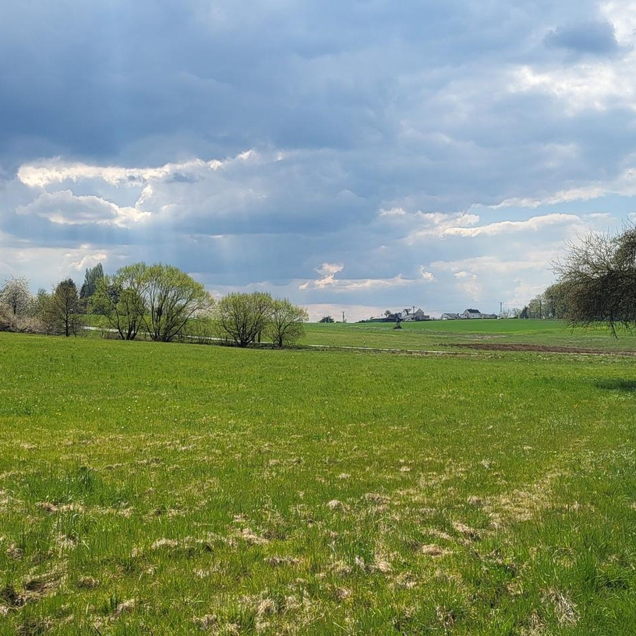
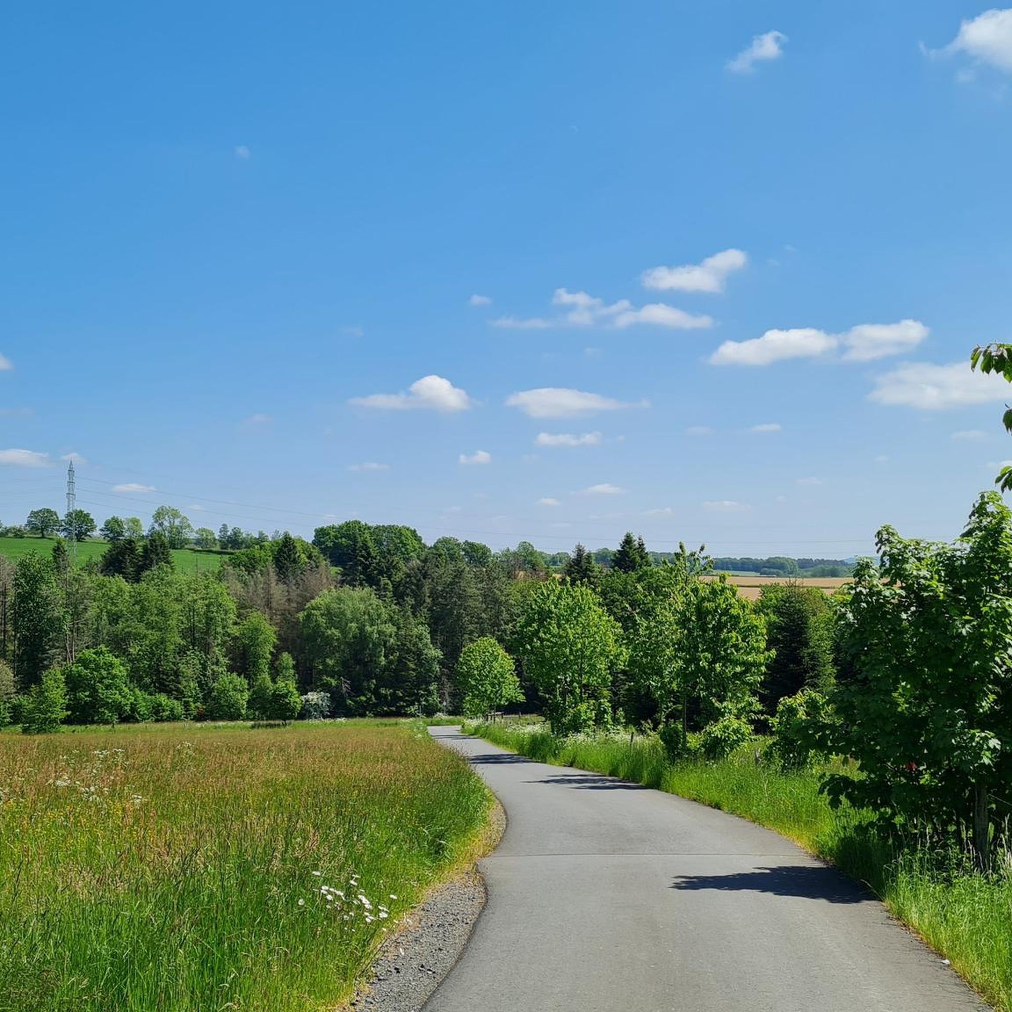
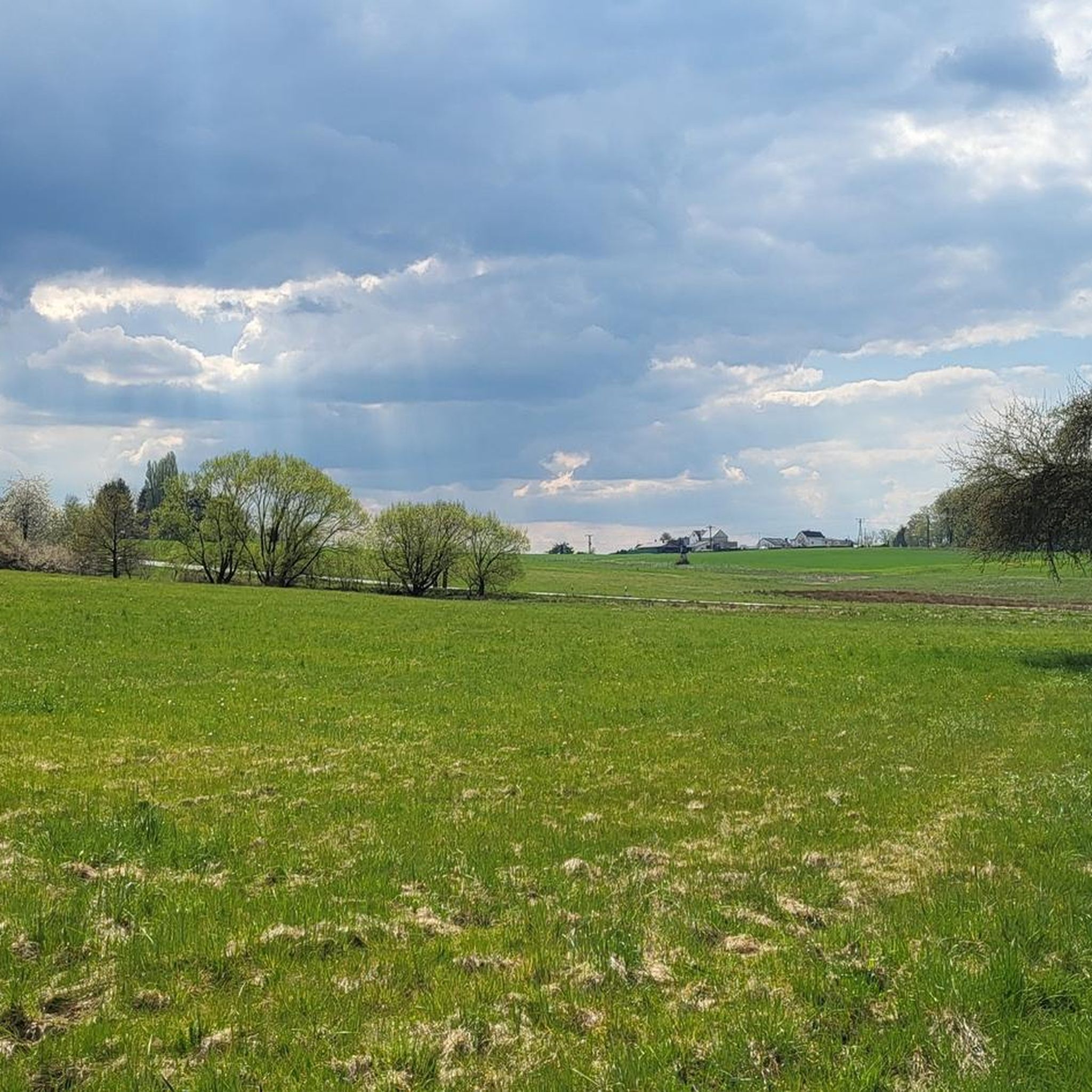
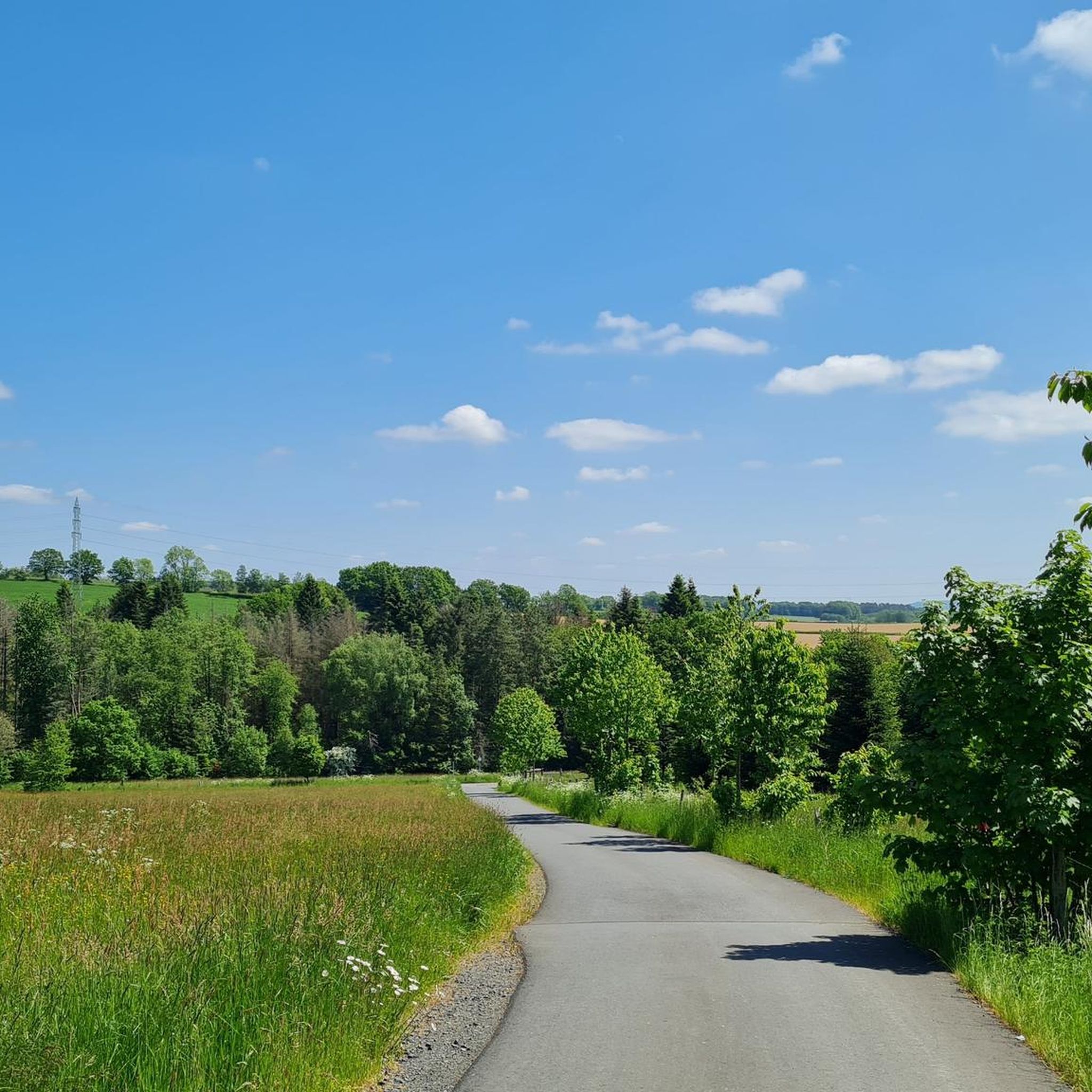
Hiking around Wölmersen offers a landscape characterized by rolling hills, dense woodlands, and open rural areas. The region features varied terrain, including paths leading to panoramic viewpoints and routes alongside village ponds. Elevations are generally moderate, making the area accessible for a range of hiking abilities.
Best hiking trails around Wölmersen
- The most popular hiking route is Panoramic View from Bickenberg – Oberirsen Village Pond loop from Wölmersen, a 4.2 miles (6.7 km) trail that takes 1 hour 51…
Last updated: July 5, 2026
4.6
(7)
29
hikers
Easy hike. Great for any fitness level. Easily-accessible paths. Suitable for all skill levels.
4.4
(7)
26
hikers
14.4km
03:53
170m
180m
Moderate hike. Good fitness required. Easily-accessible paths. Suitable for all skill levels.

Sign up for free
4.7
(6)
24
hikers
Easy hike. Great for any fitness level. Easily-accessible paths. Suitable for all skill levels.
4.5
(4)
22
hikers
2.91km
00:49
60m
60m
Easy hike. Great for any fitness level. Easily-accessible paths. Suitable for all skill levels.
3.0
(1)
8
hikers
7.98km
02:08
90m
90m
Moderate hike. Good fitness required. Easily-accessible paths. Suitable for all skill levels.
Get access to more routes and recommendations from other explorers.
Sign up for free
Already have an account?
Our route recommendations are based on thousands of hikes, rides, and runs completed by other people on komoot.
Start today with a free account
Your next adventure awaits.
Login or Signup
Tips from the Community

Beautiful forest path for hiking or biking.
0
0

Absolutely great, you can experience a piece of history here.
1
0

Just enjoy the beautiful view.
1
0

Anyone who has mastered the 177 steps up will be rewarded with a fantastic panoramic view.
5
0

A magnificent view is possible from here. East over Hamm to the Siegerland, west is the Oberbergische. Air traffic Cologne/Bonn can also be observed. Southwest the Siebengebirge. It can be enjoyed on a clear day.
0
0

Quiet lake. But pretty much everything is forbidden here: swimming, boating and fishing.
1
0
180 steps for a great all-round view. On the railing of the viewing platform, the sights and towns are marked with a marker – funny and definitely helpful.
3
0
The 180 steps are worth it: the view is great and the navigation aid on the railing is really funny but coherent.
5
0
Frequently Asked Questions
Are there easy hiking trails suitable for beginners in Wölmersen?
Yes, Wölmersen offers several easy trails perfect for beginners or those looking for a relaxed walk. Out of the 11 available routes, 7 are classified as easy. A good option is the Hiking loop from Wölmersen, which is just under 3 km and features moderate elevation changes.
What are some good hiking options for families with children?
For families, shorter and less strenuous routes are ideal. The Raiffeisen Tower – Raiffeisen Tower on Beulskopf loop from Wölmersen is an easy 5.6 km trail that takes about 1 hour 30 minutes, offering an engaging walk with a prominent tower as a point of interest. Another great choice is the Panoramic View from Bickenberg – Oberirsen Village Pond loop from Wölmersen, which is 6.7 km and features scenic views and a village pond.
Can I bring my dog on the hiking trails in Wölmersen?
Generally, dogs are welcome on most hiking trails in the Wölmersen region. It's always advisable to keep your dog on a leash, especially in nature reserves or areas with livestock, and to carry water for them. There are no specific restrictions mentioned for the trails around Wölmersen, making it a great area to explore with your canine companion.
Are there many circular hiking routes available?
Yes, the Wölmersen area is well-suited for circular hikes, with many routes designed as loops. Examples include the popular Panoramic View from Bickenberg – Oberirsen Village Pond loop from Wölmersen and the View from Bickenberg – Raiffeisen Tower on Beulskopf loop from Wölmersen. These loops allow you to start and end your hike in the same location without retracing your steps.
Where can I find the best panoramic views during a hike?
For excellent panoramic views, consider routes that pass by the Bickenberg or the Raiffeisen Tower on Beulskopf. The View from Bickenberg – Raiffeisen Tower on Beulskopf loop from Wölmersen is a moderate 14.4 km path that specifically highlights these viewpoints. Additionally, the View of the Nister Valley from Weltende is a notable viewpoint in the wider region.
Are there any waterfalls or natural monuments to see near Wölmersen?
Yes, the region around Wölmersen features several beautiful waterfalls and natural monuments. You can explore highlights such as the Sieg Waterfall (Siegfall), the Sieg Waterfall in Dattenfeld, and the impressive Schladern Waterfall. The Windeck Weir on the River Sieg is another interesting natural feature.
What is the best time of year to go hiking in Wölmersen?
The Wölmersen region is enjoyable for hiking throughout much of the year. Spring brings blooming flora and mild temperatures, while autumn offers vibrant foliage. Summer is popular for longer days, and even winter can be beautiful for crisp walks, though some paths might be muddy or icy. Always check local weather conditions before heading out.
Are there options for longer, more challenging hikes around Wölmersen?
While Wölmersen is known for its accessible hills, there are options for longer, more moderate hikes. The View from Bickenberg – Raiffeisen Tower on Beulskopf loop from Wölmersen is a moderate 14.4 km route that provides a good challenge with varied forest and open terrain, taking approximately 3 hours 50 minutes to complete.
What do other hikers enjoy the most about hiking in Wölmersen?
The Wölmersen area is highly rated by the komoot community, with an average score of 4.6 stars from over 5,000 reviews. Hikers often praise the region's accessible hills, varied forest paths, and the panoramic viewpoints. The well-maintained network of trails offers options for different ability levels, making it a popular choice for many.
Are there any unique natural features or attractions to explore?
Beyond the waterfalls, the region offers unique natural features like the Narrow Trail Above the Große Nister, which provides a distinct hiking experience. For those interested in more adventurous terrain, there's also a Via ferrata section of the Weltende Nature Trail, offering a different kind of outdoor challenge.
What kind of terrain can I expect on the trails in Wölmersen?
The terrain around Wölmersen is characterized by rolling hills, dense woodlands, and open rural areas. You can expect a mix of forest paths, dirt tracks, and some paved sections. Elevations are generally moderate, making the area accessible for a range of hiking abilities without overly steep climbs.
Most popular routes around Wölmersen
Most popular attractions around Wölmersen

Get inspired with the komoot mobile app


Explore more
Browse the best Hikes in other regions.
