The best walks and hikes around Wolmersdorf
4.7
(783)
2,970
hikers
250
hikes
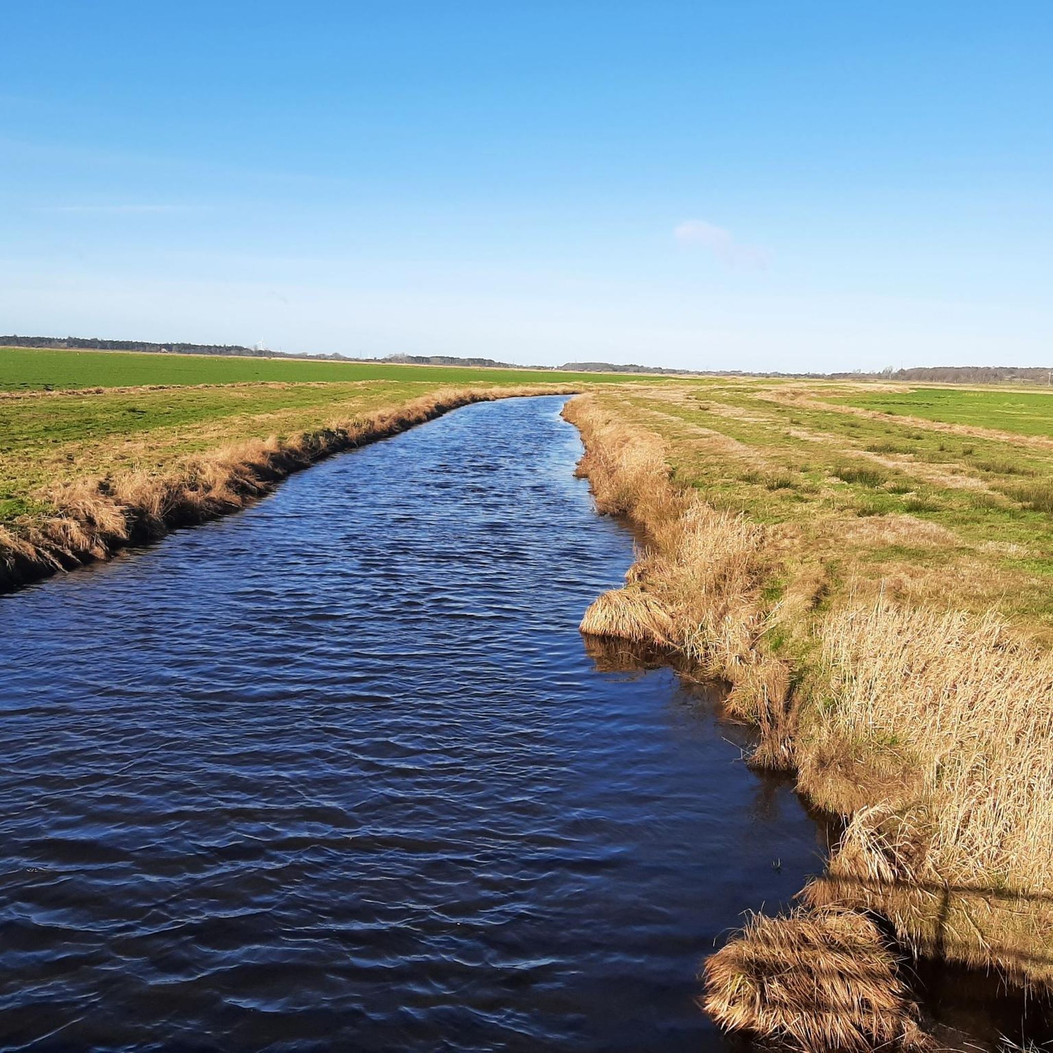
Hiking around Wolmersdorf features a landscape characterized by flat terrain, with minimal elevation changes. The region's trails often follow canals and open fields, providing expansive views. This area is defined by its low-lying topography, typical of northern coastal plains. The routes primarily traverse agricultural land and small town environments, offering accessible paths for various outdoor activities.
Best hiking trails around Wolmersdorf
- The most popular hiking route is Meldorf Market Square loop from Meldorf, a 3.8 miles (6.1 km) trail…
Last updated: June 26, 2026
4.4
(10)
26
hikers
Moderate hike. Good fitness required. Easily-accessible paths. Suitable for all skill levels.
5.0
(4)
13
hikers
Moderate hike. Good fitness required. Easily-accessible paths. Suitable for all skill levels.

Sign up for free
4.1
(7)
19
hikers
Easy hike. Great for any fitness level. Easily-accessible paths. Suitable for all skill levels.
5.0
(1)
7
hikers
15.2km
03:53
50m
50m
Moderate hike. Good fitness required. Easily-accessible paths. Suitable for all skill levels.
4.5
(2)
11
hikers
23.5km
05:56
40m
40m
Hard hike. Very good fitness required. Easily-accessible paths. Suitable for all skill levels.
Get access to more routes and recommendations from other explorers.
Sign up for free
Already have an account?
Our route recommendations are based on thousands of hikes, rides, and runs completed by other people on komoot.
Start today with a free account
Your next adventure awaits.
Login or Signup
Tips from the Community

Address and opening hours in the photo
0
0
A very nice café with outdoor seating and, of course, indoor seating. Homemade cakes and gateaux are a given... 😉 Great café and more. Very friendly owners...
1
0

The cathedral is Meldorf's landmark; the imposing brick building can be seen from afar. It's centrally located on the market square. The cobblestones make it less than ideal for road bikers, although Meldorf itself is worth seeing.
2
0

was unfortunately closed today
0
0

If you have the time, you should check it out!
0
0

Highly recommended. The cakes and coffee are delicious.
0
0

A newly revised exhibition since 2023. It features bird migration, some information about the national park, and a focus on the two nature reserves Kronenloch and Wöhrdener Loch. Open from Easter to October, Friday to Sunday, 11 a.m. to 5 p.m. Admission is free. Outside of regular opening hours, the exhibition is open when the "Exhibition Open" sign is displayed. The exhibition has been managed by the Wattenmeer Conservation Station since 2023 and is a National Park Station.
0
0

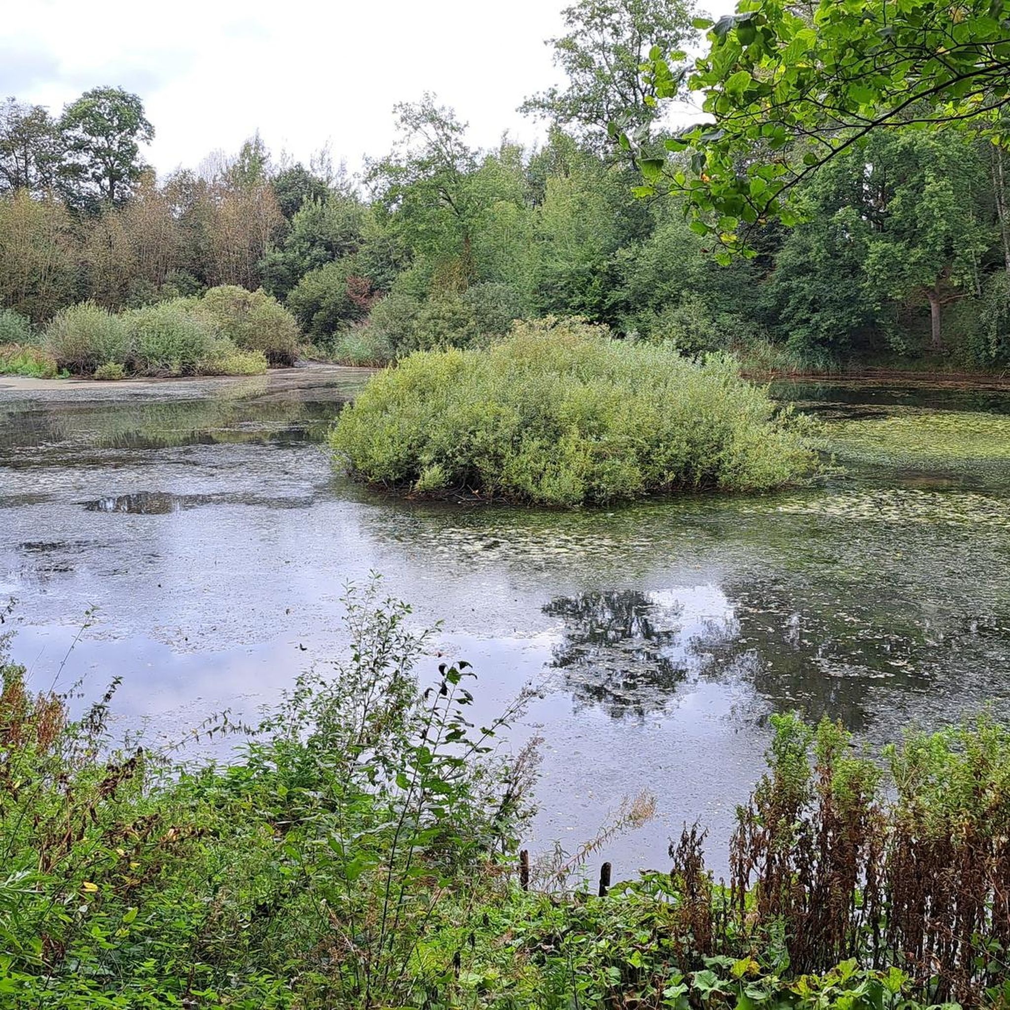
In Dithmarschen between Büsum and Friedrichskoog lies the Meldorfer Speicherkoog, which was embanked at the end of the 1970s and includes the unique nature reserves “Wöhrdener Loch” and “Kronenloch”. In the small exhibition at Meldorfer Hafen, the Wattwurm National Park Station, all questions about the Speicherkoog are answered. To the left of the building there is also a rustic adventure trail.
3
0
Frequently Asked Questions
What kind of terrain can I expect when hiking around Wolmersdorf?
Hiking around Wolmersdorf is characterized by its flat terrain and minimal elevation changes. The routes often follow canals and traverse open fields, providing expansive views typical of northern coastal plains. You'll mostly find paths through agricultural land and small town environments, making them generally accessible.
How many hiking trails are available in the Wolmersdorf area?
There are over 250 hiking routes available around Wolmersdorf. This includes a wide variety of options, with more than 150 easy trails, nearly 100 moderate paths, and a few more challenging routes for those seeking a bit more adventure.
Are there any circular walks in Wolmersdorf?
Yes, many of the trails around Wolmersdorf are circular, offering convenient starting and ending points. For example, you can explore the Meldorf Market Square loop from Meldorf, an easy 6.1 km route, or the moderate Meldorf Market Square – Südermühle Windmill loop from Meldorf, which is 9.5 km long.
What are some notable landmarks or points of interest I can see while hiking?
The area around Wolmersdorf offers several interesting landmarks. You can visit the Meldorf Market Square, which is often a starting point for hikes, or see the Meldorf Harbor Sluice Gate. Nature enthusiasts might enjoy the Kronenloch Nature Reserve. Many trails also offer views of the North Sea Dike Path.
What do other hikers say about the trails in Wolmersdorf?
The hiking trails in Wolmersdorf are highly regarded by the komoot community, with an average rating of 4.7 stars from over 740 reviews. Hikers often praise the accessible, flat paths and the scenic views across open fields and along canals, making it a pleasant experience for various skill levels.
Are there any easy hikes suitable for beginners or families?
Absolutely. Wolmersdorf is an excellent area for beginners and families due to its predominantly flat terrain. An easy option is the Meldorf Market Square loop from Meldorf, which is 6.1 km long with minimal elevation gain. Another family-friendly choice is the Dithmarscher Landesmuseum – Meldorf Market Square loop from Meldorf, a shorter 4.9 km route.
Can I find trails that offer views of the North Sea or coastal areas?
While Wolmersdorf itself is inland, its proximity to the coast means some trails offer glimpses or lead towards coastal features. The North Sea Dike Path is a prominent feature in the region, and some routes may provide views towards the coast or lead to areas like the View of Büsum.
What is the typical duration for hikes in Wolmersdorf?
Hikes in Wolmersdorf vary in duration depending on the route and your pace. Easy trails like the Meldorf Market Square loop from Meldorf can take around 1.5 hours. Moderate routes, such as the Südermiele Canal View loop from Meldorf (15.2 km), might take closer to 4 hours to complete.
Are there any natural reserves or protected areas to explore?
Yes, the Kronenloch Nature Reserve is a notable natural monument in the vicinity of Wolmersdorf. It offers opportunities to experience the local flora and fauna within a protected environment.
Are there any historical sites accessible via hiking trails?
The region has some historical significance. While not directly on a hiking trail, the Battlefield of Hemmingstedt is a historical site in the broader area. Many routes also pass through or near the historic Meldorf Market Square and the Meldorf Harbor Sluice Gate.
What kind of views can I expect on the trails?
The trails around Wolmersdorf offer expansive views primarily across open fields and along canals. Due to the flat landscape, you'll often have long sightlines, and some routes may provide distant views towards the North Sea dike or local landmarks like the Südermühle Windmill.
Most popular attractions around Wolmersdorf

Get inspired with the komoot mobile app


Explore more
Browse the best Hikes in other regions.
