The best walks and hikes around Wollmerath
4.5
(11864)
40,302
hikers
710
hikes
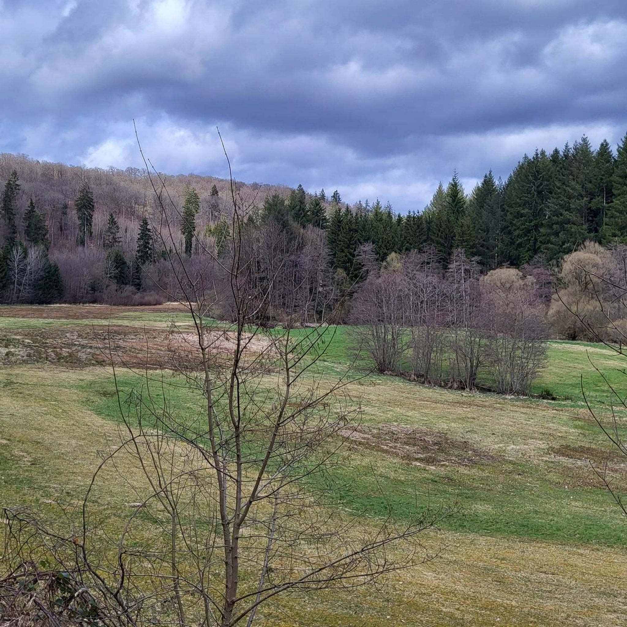
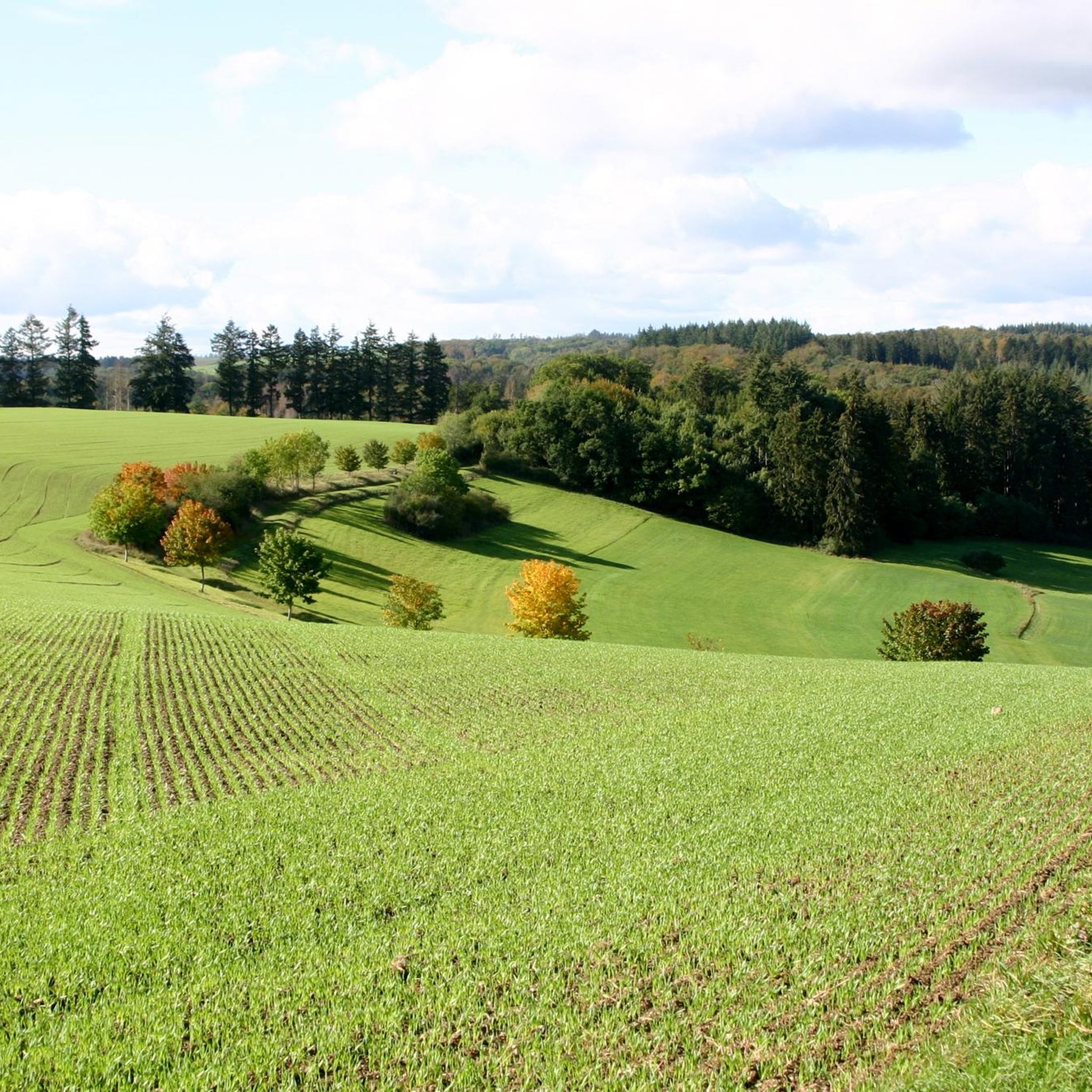
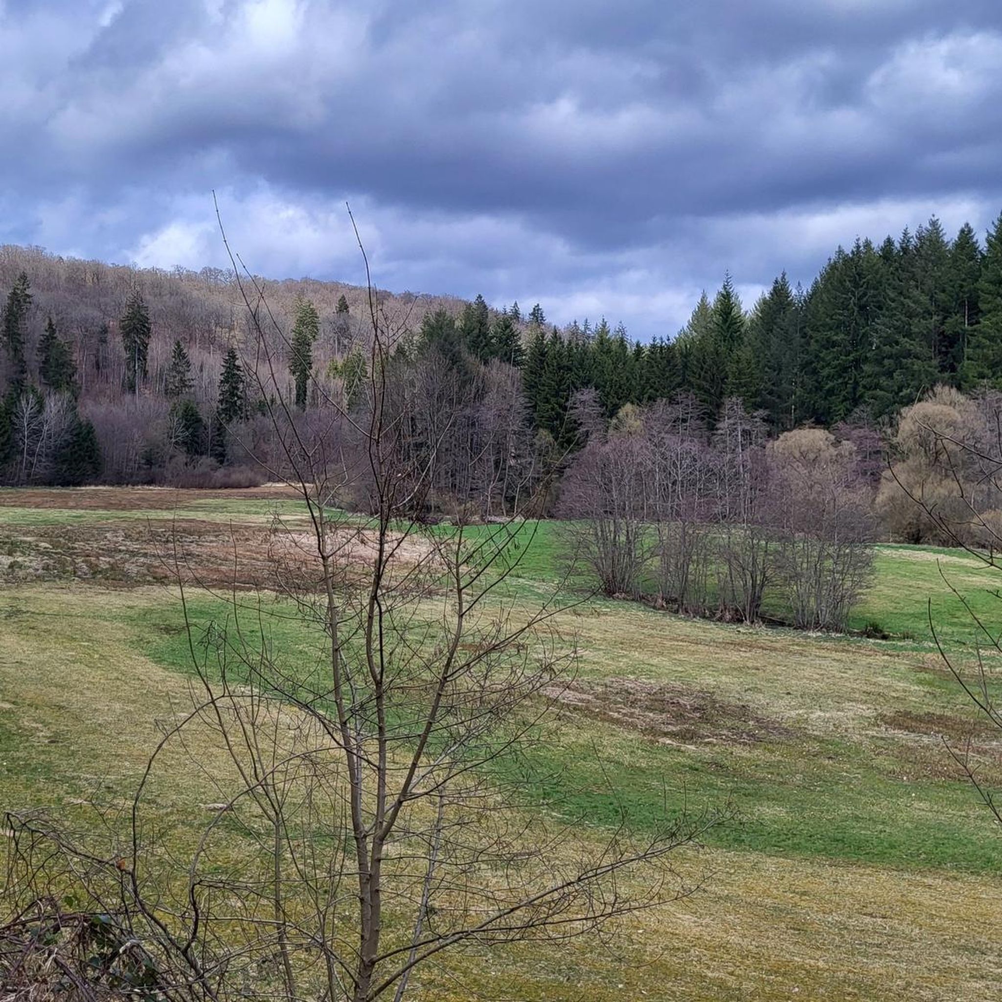
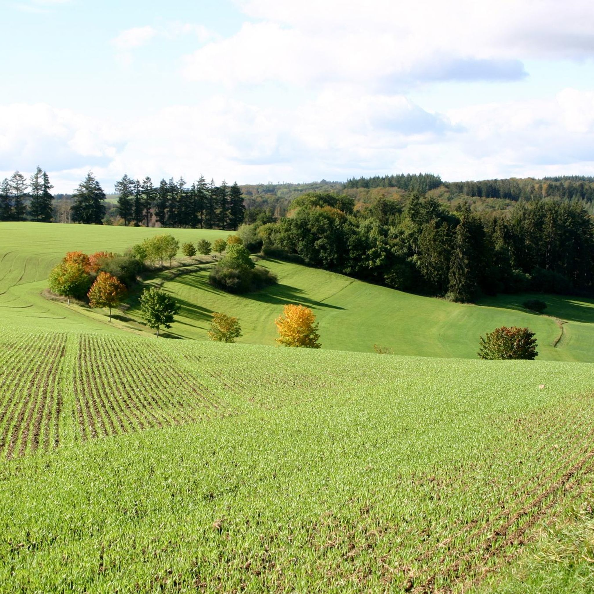
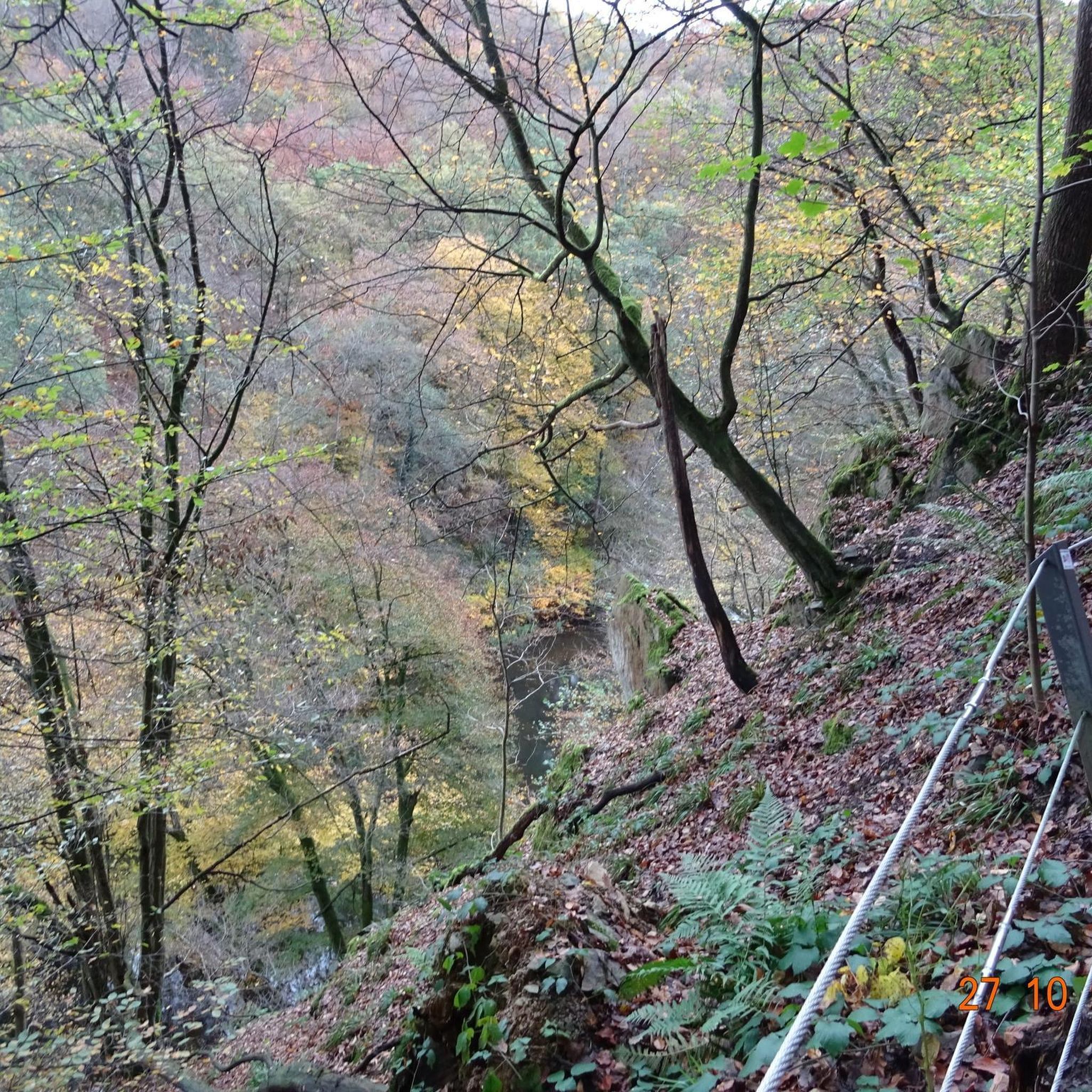
Hiking around Wollmerath offers exploration within the Cochem-Zell district of Germany. The region features rolling hills and green valleys, characteristic of the Vulkaneifel landscape. This area is known for its volcanic origins, including maars (volcanic lakes) and the Wollmerather Kopf, a former volcanic cone. Diverse terrain includes river valleys, Eifel forests, and juniper heath.
Best hiking trails around Wollmerath
- The most popular hiking route is HeimatSpur Apolloniaweg – GesundLand Vulkaneifel, an 8.5 miles (13.7 km) trail that takes 3…
Last updated: August 21, 2026
4.5
(24)
74
hikers
13.7km
03:50
270m
270m
Moderate hike. Good fitness required. Easily-accessible paths. Suitable for all skill levels.
4.0
(2)
14
hikers
10.2km
02:46
130m
130m
Moderate hike. Good fitness required. Easily-accessible paths. Suitable for all skill levels.

Sign up for free
4.8
(5)
14
hikers
10.0km
02:50
220m
220m
Moderate hike. Good fitness required. Easily-accessible paths. Suitable for all skill levels.
4.7
(6)
12
hikers
28.6km
07:52
450m
450m
Hard hike. Very good fitness required. Sure-footedness, sturdy shoes and alpine experience required.
3.5
(2)
9
hikers
11.1km
03:04
200m
200m
Moderate hike. Good fitness required. Easily-accessible paths. Suitable for all skill levels.
Get access to more routes and recommendations from other explorers.
Sign up for free
Already have an account?
Our route recommendations are based on thousands of hikes, rides, and runs completed by other people on komoot.
Start today with a free account
Your next adventure awaits.
Login or Signup
Tips from the Community

Impressive 250-year-old beech trees by the roadside.
0
0
The Pulvermaar is the best-preserved maar in the Eifel: The crater is completely filled with water and surrounded by an almost closed tuff wall. It is the maar with the largest water surface and is 74 meters deep. This makes it the deepest maar in the Eifel and also one of the deepest lakes in Germany. Source: https://www.geopark-vulkaneifel.de/eifel/landschaft/maare-und-kraterseen/pulvermaar.html
0
0
Here you can hike relaxed. Wonderful section of the path.
0
0


For cooling down and relaxing in between. Enjoy this clear, refreshing water of the Pulvermaar. Enjoy drinks and food outdoors under trees with a view of the maar at the restaurant.
1
0

During our visit today, the platform was closed... it looks very dilapidated!
0
0

The circular wall on the Steineberger Ley is a prehistoric fortification on a basalt peak near Steineberg. The wall was made of basalt stones and possibly wooden logs. It probably dates back to around 200 BC and has been protected as a natural monument since 1939. For information on the Steineberg and its circular wall, see, for example, https://de.wikipedia.org/wiki/Steineberg or https://kulturdb.de/einobjekt.php?id=3903
0
0

Unfortunately, the bench is located at the entrance to the parking lot and is in direct sunlight. There are more secluded spots at the maar.
1
0
Frequently Asked Questions
How many hiking trails are available around Wollmerath?
There are over 700 hiking routes in the Wollmerath area, offering a wide range of experiences. This includes over 300 easy trails, more than 300 moderate paths, and nearly 70 more challenging options, ensuring something for every hiker.
What kind of terrain can I expect on hikes near Wollmerath?
The terrain around Wollmerath is diverse, characterized by the Vulkaneifel landscape. You'll encounter rolling hills, green valleys, Eifel forests, and river valleys like the Ueßbach. The region is also known for its volcanic features, including maars (volcanic lakes) and the Wollmerather Kopf, a former volcanic cone. Some areas also feature unique juniper heath.
Are there any family-friendly hiking trails in Wollmerath?
Yes, Wollmerath offers several family-friendly options. The HeimatSpur Apolloniaweg – GesundLand Vulkaneifel is a moderate trail known for its tranquil surroundings, suitable for families looking for a peaceful walk. For a more active experience, the Aktiv-Gesund-Parcours Wollmerath, a 6.3-kilometer trail, features 14 stations designed for physical activity, engaging all ages.
Can I bring my dog on the hiking trails around Wollmerath?
Many trails around Wollmerath are dog-friendly, allowing you to explore the Vulkaneifel landscape with your canine companion. It's generally recommended to keep dogs on a leash, especially in nature reserves or areas with livestock, to protect local wildlife and ensure a pleasant experience for everyone. Always check local signage for specific rules.
What natural landmarks or viewpoints can I discover while hiking?
Wollmerath's volcanic landscape offers several unique natural landmarks and viewpoints. You can visit the Vulcano platform in Steineberg for expansive views, or explore the Demerather Drees, a sour spring located near a juniper nature reserve. The region also features impressive maars like Ulmen Maar and Pulvermaar, with trails like Bench with a view of the Pulvermaar – Pulvermaar loop from Immerath offering scenic vistas of these volcanic lakes. Don't miss the View of the Gemünden maar or the View of the Weinfelder Maar (Totenmaar).
Are there any historical sites or castles to see near the trails?
Yes, the region combines natural beauty with historical elements. You can find the castle ruins overlooking Ulmen Maar, which adds a historical touch to the natural scenery. The Upper Castle of Ulmen is a notable highlight. Additionally, the Steffenswarte viewing tower at the Entersburg ruins provides another point of interest.
Are there any circular hiking routes in the area?
Yes, many trails around Wollmerath are designed as circular routes, perfect for day trips. The Geisert Juniper Heath – Demerather Drees loop from Demerath is a moderate 10 km circular trail. Another popular option is the Maismühle – Rest Area in the Üßbachtal loop from Wollmerath, which takes you through the scenic Üßbachtal river valley.
What do other hikers say about the trails in Wollmerath?
The hiking trails in Wollmerath are highly regarded by the komoot community, with an average rating of 4.5 stars from over 11,000 reviews. Hikers frequently praise the diverse Vulkaneifel landscape, the well-maintained paths, and the variety of options from tranquil walks to more challenging routes.
Is public transport available to reach the trailheads in Wollmerath?
Wollmerath is a village in the Cochem-Zell district, and while public transport options exist, they might be less frequent than in larger towns. It's advisable to check local bus schedules in advance if you plan to rely on public transport to reach specific trailheads. Information on bus routes serving Wollmerath can usually be found on regional transport websites.
Are there any challenging long-distance hikes near Wollmerath?
For experienced hikers seeking a challenge, the region offers more demanding routes. The Strohner Switzerland – Lava Flow in the Alftal Valley loop from Immerath is a difficult 28.6 km trail that takes you through varied landscapes, including the Alftal Valley, showcasing the region's volcanic past.
What is the best time of year to go hiking in Wollmerath?
The Vulkaneifel region around Wollmerath is beautiful year-round. Spring brings blooming flora and mild temperatures, while summer offers long daylight hours for extended hikes. Autumn is particularly scenic with vibrant fall foliage. Even in winter, with appropriate gear, the snow-covered landscapes can offer a unique and tranquil hiking experience, though some paths might be more challenging.
Are there places to eat or stay in Wollmerath or nearby villages?
Wollmerath and its surrounding villages offer various options for refreshments and accommodation. You can find local cafes, pubs, and guesthouses that cater to hikers. It's a good idea to check availability and opening hours, especially in smaller villages, to plan your stops accordingly.
Most popular attractions around Wollmerath

Get inspired with the komoot mobile app


Explore more
Browse the best Hikes in other regions.
