The best road cycling routes around Wolkramshausen
4.4
(245)
2,341
riders
124
rides
Road cycling around Wolkramshausen, situated in Thuringia's Nordhausen district, offers diverse landscapes for cyclists. The region features varied terrain, from river cycle paths to more challenging hilly sections. It is characterized by gypsum landscapes, forests, and expansive orchards, providing a mix of scenic routes. This area presents a network of paved roads suitable for road cyclists seeking different levels of elevation gain and natural beauty.
Best road cycling routes around Wolkramshausen
- The most popular road cycling route is Parkcafé Niedergebra…
Last updated: May 19, 2026
4.7
(11)
24
riders
59.3km
02:38
380m
380m
Moderate road ride. Good fitness required. Mostly well-paved surfaces and easy to ride.
5.0
(2)
21
riders
Moderate road ride. Great for any fitness level. Some segments of this route may be unpaved and difficult to ride.

Sign up for free
17
riders
60.0km
02:28
290m
290m
Moderate road ride. Good fitness required. Mostly well-paved surfaces and easy to ride.
5.0
(1)
9
riders
36.3km
01:30
210m
210m
Easy road ride. Great for any fitness level. Mostly well-paved surfaces and easy to ride.
5.0
(2)
9
riders
58.3km
02:23
240m
240m
Moderate road ride. Good fitness required. Mostly well-paved surfaces and easy to ride.
Get access to more routes and recommendations from other explorers.
Sign up for free
Already have an account?
Our route recommendations are based on thousands of hikes, rides, and runs completed by other people on komoot.
Start today with a free account
Your next adventure awaits.
Login or Signup

Tips from the Community

The construction history of the church, which is medieval at its core, is unclear. The church tower and nave were built at different times. The church was remodeled between 1541 and 1577. The nave's current appearance, with its mansard roof and the staircase to the galleries on the south side, was largely acquired in the 18th century. The mansard roof of the nave has a chamfered eaves. The church tower to the west has four stories and features tracery windows from the 15th century in its upper sections. The hall church has a recessed, three-sided chancel. Around 1787, the church underwent extensive renovations. The tower received its bulbous cupola, topped by an open lantern crowned with a finial. The interior of the nave and chancel was unified into a single space by a shared barrel vault. The base of a groin vault remains in the chancel. A simple pulpit dates from 1792. The round-arched opening to the groin-vaulted tower has been bricked up. On the ground floor of the tower are carved figures from a late Gothic winged altarpiece: a bishop, Saint Margaret, Saint John, an unknown saint, Saint Barbara and Saint Bartholomew, as well as three busts of apostles. The organ was built in 1922 by the Petersilie company from Gotha. (Source: Wikipedia)
0
0

Ilfeld is a charming resort town in the southern Harz region. It lies within a protected landscape area and is also called the "Gateway to the Harz" due to its location.
1
0

The city gate of Neustadt was built from rubble stone in the 15th century.
4
0

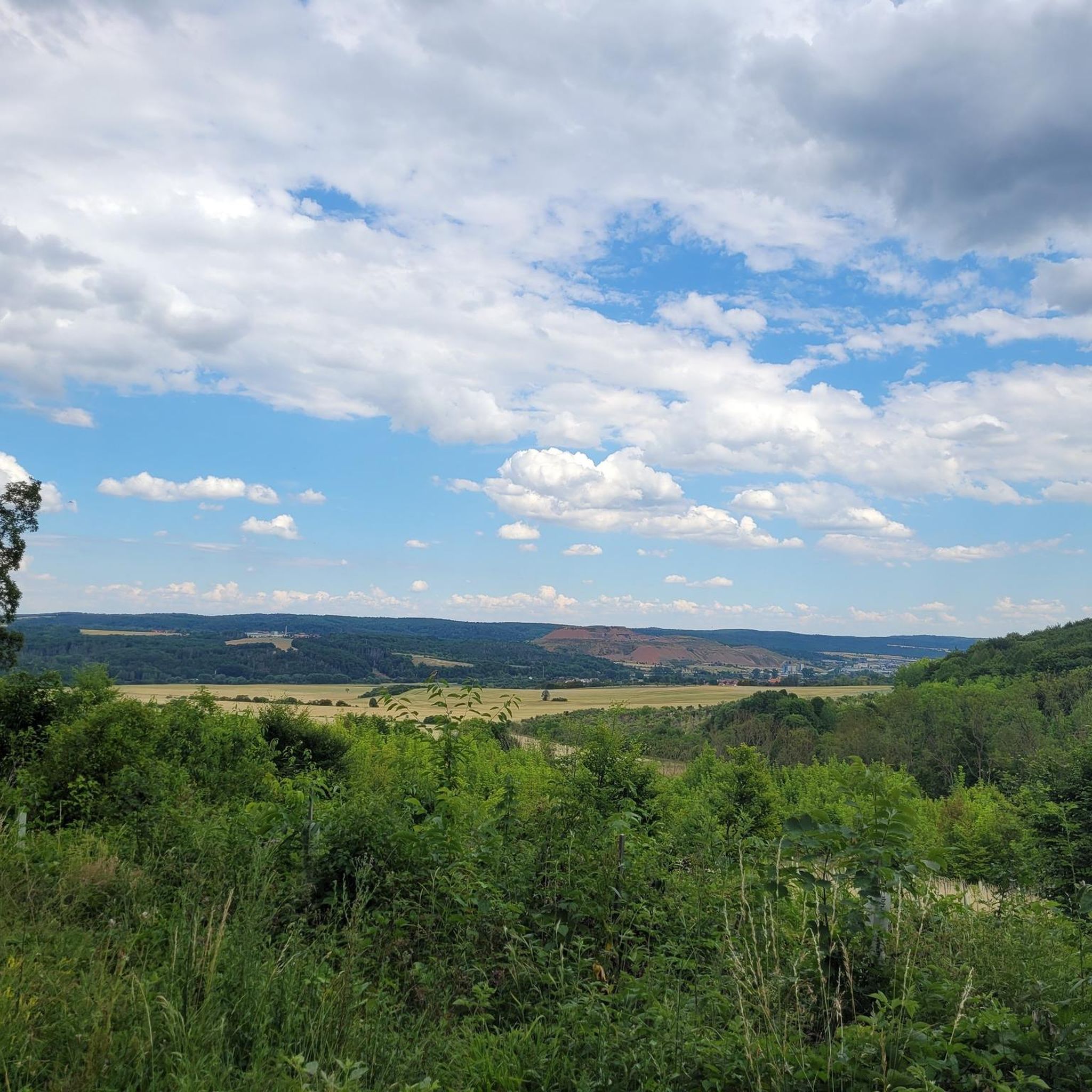
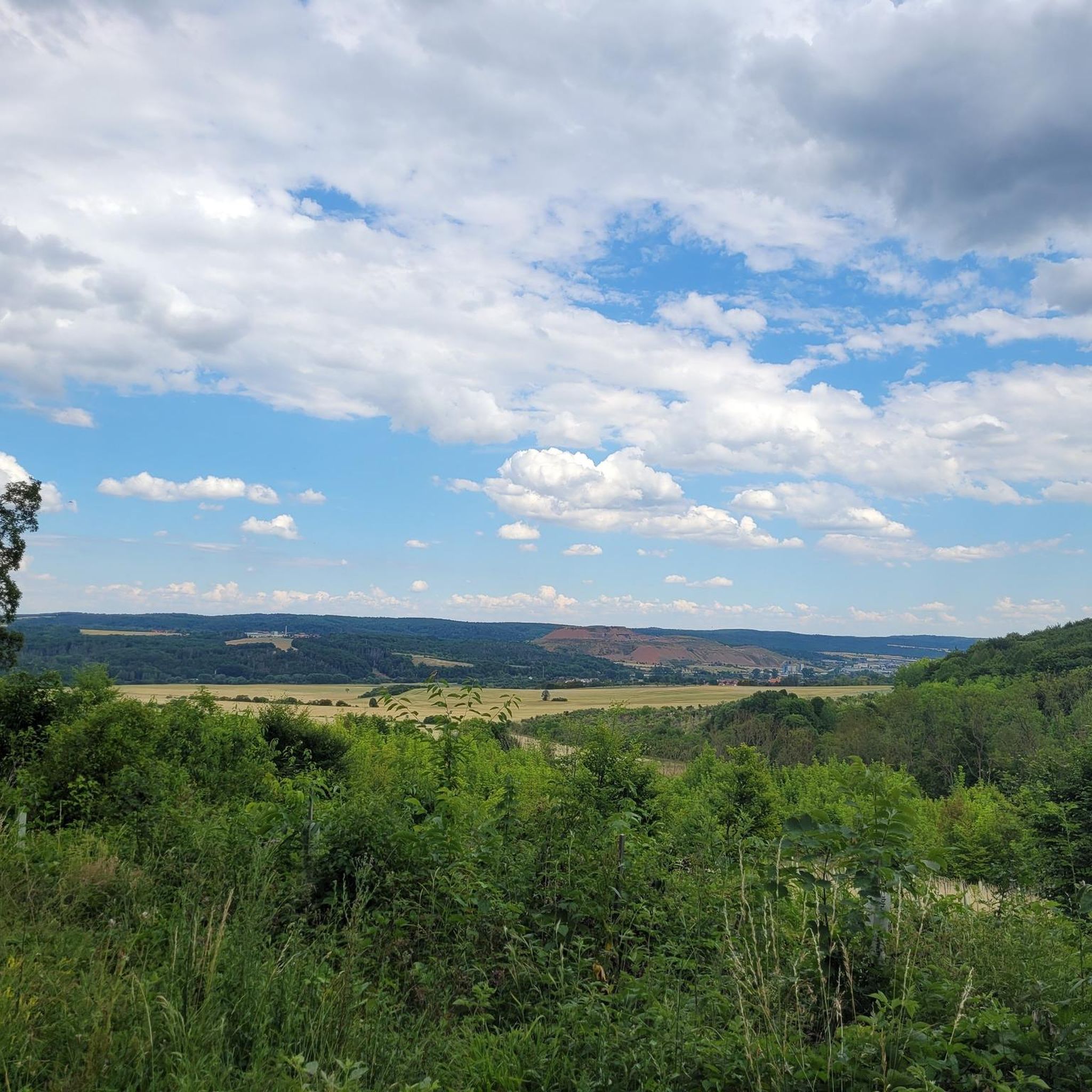
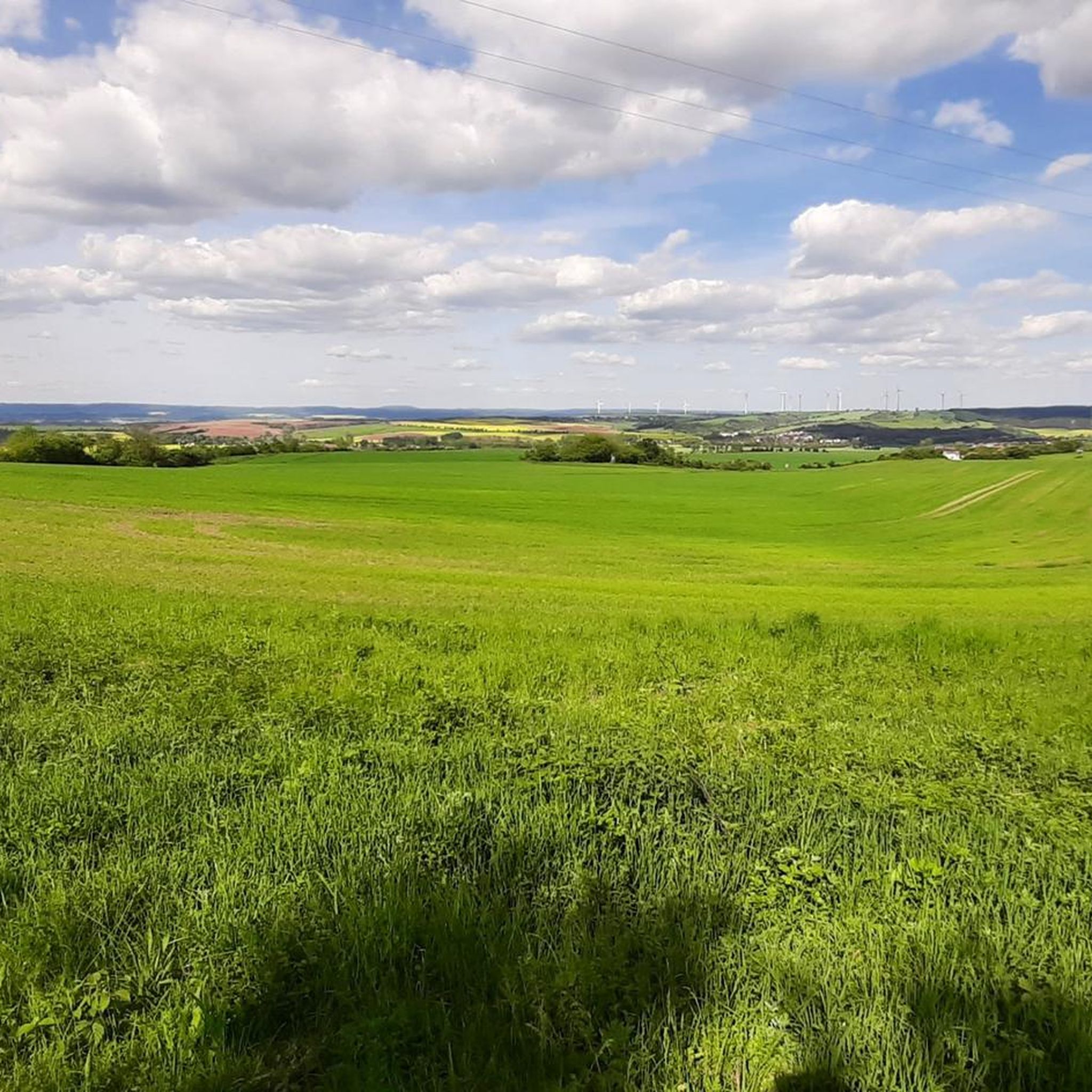
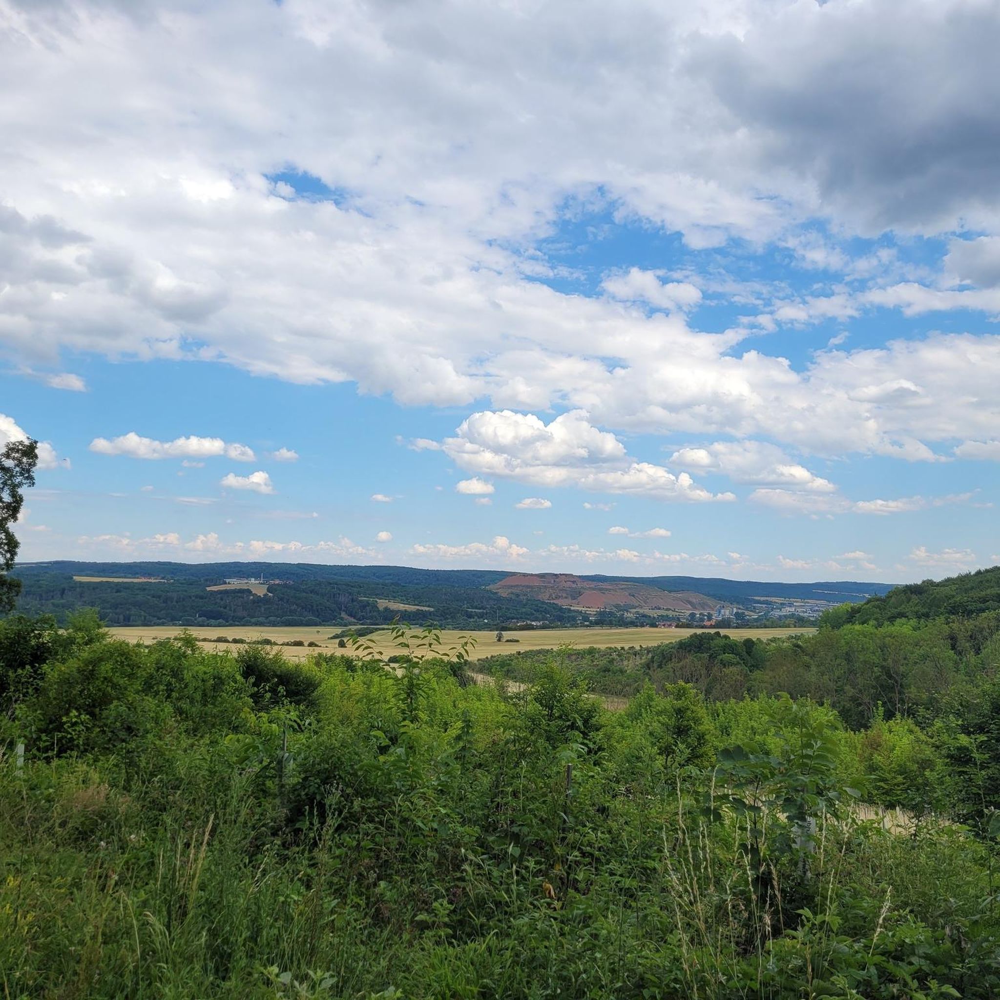
Unfortunately, this beautiful path towards Breitenworbis is currently closed (July 25, 2024). The diversion is signposted, but has a barrier (!) on the descent and then actually continues on the bypass road that the cycle path should actually avoid. This is only for the fearless!🤯
0
0

You almost feel like you've been transported back to the Middle Ages as you walk over the cobblestones toward the old city gate. The gate was once part of Neustadt's city fortifications. It was built in the 15th century, but the half-timbered structure wasn't added until around 1680. Source: https://www.harzlife.de/bilder/neustadt-altes-stadttor.html
11
0

A wonderful place to rest, it has a slight lake feeling. Coots, mallards, grey herons, swans and many other waterfowl can be found here.
4
0

The northern half is asphalted but very hilly due to roots. The southern half is gravel, with large, sharp stones in places. To be enjoyed with caution on a racing bike
0
0
Frequently Asked Questions
What kind of terrain can I expect when road cycling around Wolkramshausen?
The region offers a diverse landscape for road cyclists. You'll find varied terrain, from relatively flat sections along river cycle paths, such as the Wipper River, to more challenging hilly sections. The area is characterized by unique gypsum landscapes, forests, and expansive orchards, providing a mix of scenic routes with different elevation gains.
How many road cycling routes are available in the Wolkramshausen area?
There are over 120 road cycling routes around Wolkramshausen documented on komoot. These routes cater to various skill levels, including easy, moderate, and difficult options.
Are there easy road cycling routes suitable for beginners or leisurely rides?
Yes, the region offers 19 easy road cycling routes. An example is the Schiedunger Pond – Bleicherode Mine loop from Nohra (Wipper), which is 36.3 km long and features a manageable elevation gain of about 206 meters.
What are some notable natural features or landmarks to see along the road cycling routes?
Road cycling routes often pass through or near the South Harz Nature Park, known for its gypsum landscapes and unique rock formations. You might also encounter the Kyffhäuser Nature Park with its forests and expansive orchards. For specific points of interest, consider routes that pass by the Teichtal lake or offer views towards the Kyffhäuser Monument.
Are there any circular road cycling routes around Wolkramshausen?
Many of the road cycling routes in the area are designed as loops. For instance, the popular Parkcafé Niedergebra – Wipper River Cycle Path loop from Wolkramshausen is a 59.5 km circular route that follows the Wipper River. Another option is the Old Town Gate of Neustadt – Cycle path in Naturpark Südharz loop from Werther, a 38.1 km loop through the Naturpark Südharz.
What do other road cyclists say about the routes in Wolkramshausen?
The road cycling routes around Wolkramshausen are highly regarded by the komoot community, with an average rating of 4.5 stars from over 200 reviews. Cyclists often praise the varied terrain, scenic landscapes, and the network of paved roads suitable for different ability levels.
Can I find challenging road cycling routes with significant elevation gain?
Yes, the region offers 17 difficult road cycling routes for those seeking a challenge. While specific routes are not listed here, the hilly terrain, especially within the nature parks, provides opportunities for ambitious climbs and descents.
What is the best time of year for road cycling in Wolkramshausen?
Thuringia generally offers diverse cycling experiences throughout the warmer months. Spring and autumn provide pleasant temperatures and beautiful scenery, while summer is ideal for longer rides. It's always advisable to check local weather conditions before heading out.
Are there options for parking near the road cycling routes?
While specific parking locations for each route are not detailed here, many routes start from towns or villages like Wolkramshausen, Werther, or Kleinfurra, where public parking is generally available. It's recommended to check the starting point of your chosen route for specific parking information.
Are there any cafes or places to stop for refreshments along the routes?
The region includes towns and villages where you can find cafes and pubs. For example, the Bleicherode Mine – Wipper River Cycle Path loop from Kleinfurra passes through areas near Bleicherode, which would offer opportunities for refreshments. Planning your route with komoot allows you to identify points of interest like cafes along the way.
What are some longer road cycling routes available?
For longer rides, consider routes like the Parkcafé Niedergebra – Wipper River Cycle Path loop from Wolkramshausen, which covers 59.5 km, or the Bleicherode Mine – Wipper River Cycle Path loop from Kleinfurra, spanning 60.0 km. These routes offer extended time in the saddle through varied landscapes.
Can I reach the starting points of road cycling routes by public transport?
Wolkramshausen and surrounding towns in the Nordhausen district are connected by local public transport. While specific connections for each route start are not provided, it is often possible to reach starting points via regional trains or buses, though you may need to check for bicycle transport options.
Are there any family-friendly road cycling options?
While road cycling generally implies paved roads and potentially traffic, some of the easier routes or sections along dedicated river cycle paths, such as parts of the Wipper River Cycle Path, might be suitable for families with older children. Always assess the route's traffic levels and difficulty for your family's comfort.
Most popular routes around Wolkramshausen
Most popular attractions around Wolkramshausen

Get inspired with the komoot mobile app


Explore more
Browse the best Road cycling routes in other regions.
