The best road cycling routes around St. Thomas
4.5
(192)
9,594
riders
229
rides
Road cycling around St. Thomas offers diverse landscapes with varied terrain. The island features both relatively flat routes along the waterfront and more challenging paths with rugged hill climbs and winding coastal roads. Cyclists can expect moderate elevation gains, with some routes reaching up to 600 feet, and surfaces that range from compact asphalt to packed dirt. The topography provides opportunities for different cycling experiences across the island.
Best road cycling routes around St. Thomas
- The most popular road cycling route is Swansea Ironman route, a 56.3 miles (90.6 km) difficult trail that takes 4 hours 12 minutes to complete. This route features significant elevation gain, making it suitable for experienced cyclists.
- Another top favourite among local road cyclists is Gower loop from Swansea — Gower, a moderate 48.8 miles (78.6 km) path. This route offers a balanced challenge with varied terrain and scenic sections.
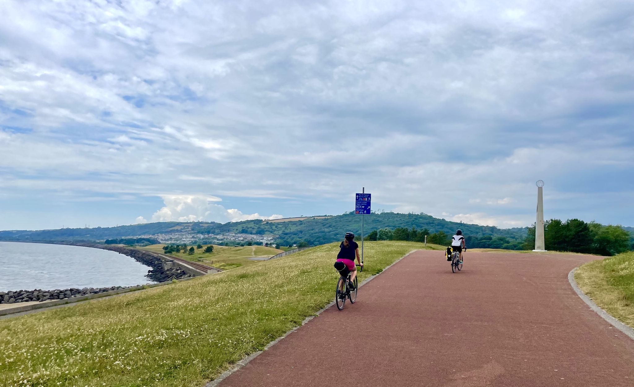
- Local road cyclists also love the Swansea Marina to the Mumbles loop, a 19.6 miles (31.6 km) trail leading through coastal areas, often completed in about 1 hour 45 minutes.
- Road cycling around St. Thomas is defined by coastal paths, varied elevation, and diverse road surfaces. The network offers options for different ability levels, from easy rides to challenging climbs.
- The routes in St. Thomas are highly rated by the komoot community with an average score of 4.5 stars from over 180 reviews. More than 9,000 road cyclists have used komoot to explore St. Thomas's varied terrain.
Last updated: August 30, 2026
5.0
(2)
1,319
riders
90.6km
04:12
910m
910m
Prepare for a demanding road cycling adventure on the Swansea Ironman route, a difficult challenge spanning 56.3 miles (90.6 km) across the stunning Gower Peninsula. This route will push you with a significant elevation gain of 2981 feet (909 metres), typically taking around 4 hours and 12 minutes to complete. As you pedal, you'll navigate diverse terrain, from dramatic coastal clifftops offering views of iconic landmarks like Three Cliffs Bay, to winding through the rolling green hills of the rural interior. The experience is one of constant engagement, with the landscape unfolding around you, showcasing the raw beauty of Britain's first Area of Outstanding Natural Beauty. You will find yourself immersed in spectacular scenery throughout this challenging ride.
Planning your ride requires acknowledging the route's hilly nature and consistently undulating profiles. You will need very good fitness to tackle the significant ascents, including punchy climbs like Caswell Hill. While the roads are mostly well-paved, the constant changes in elevation demand careful pacing and preparation. Ensure your bike is in excellent condition and you carry enough hydration and nutrition for the duration. Consider starting early to make the most of daylight and avoid peak traffic, especially during warmer months.
This route stands out as a true test of endurance and skill, set within the unique geological and ecological tapestry of the Gower Peninsula. As Britain's first designated Area of Outstanding Natural Beauty, the region offers more than just a challenging ride; it provides a journey through a landscape rich in biodiversity and dramatic coastal features. From higher vantage points like Cefn Bryn, you can appreciate the vastness of the peninsula stretched out below you. The Swansea Ironman route is a memorable way to experience this iconic Welsh coastline and its rural charm.
4.3
(3)
304
riders
78.6km
03:31
740m
740m
Embark on a rewarding racebike journey with the Gower loop from Swansea, a moderate ride covering 48.8 miles (78.6 km) with 2436 feet (742 metres) of elevation gain, typically taking around 3 hours and 31 minutes. You will experience a diverse landscape, from the salt marsh coasts in the north to the rugged limestone cliffs and sandy beaches of the south. The route features a series of steep climbs and descents as it traverses the Gower Peninsula's plateau, offering vast views and impressive coastal vistas, including iconic sights like Worm's Head and Rhossili Bay.
This loop is easily accessible from Swansea, making it a convenient starting point for your adventure. While much of your ride will be on quiet country roads, be aware that some sections utilize busier main roads like the A4118 and B4247, which can see increased traffic during holiday seasons. You will find opportunities to stop for refreshments at various pubs and cafes along the route, such as The Welcome Country Pub or Ripples in Mumbles, which is known to be bike-friendly. Due to the elevation changes, this route requires good fitness.
The Gower Peninsula holds the distinction of being the UK's first Area of Outstanding Natural Beauty (AONB), designated in 1956, which highlights its unique environmental significance. The area's captivating blend of coastal and inland environments provides a special backdrop for your ride. This route is also part of larger cycling networks like the Celtic Trail and National Cycle Network, offering connections to other adventures. Some routes in the area even connect the seventeen Anglican churches of Gower, adding a cultural dimension to your exploration.

Sign up for free
4.7
(3)
163
riders
31.6km
01:45
280m
280m
Cycle the Swansea Marina to the Mumbles loop for an easy 19.6-mile (31.6 km) racebike ride, offering continuous coastal views across Swansea Bay. You will gain 914 feet (279 metres) of elevation over approximately 1 hour and 45 minutes, making it a relaxed outing. The route follows the old Mumbles tramway, taking you past the regenerated Swansea Marina and towards the charming village of Mumbles. As you pedal, you'll spot the iconic Mumbles Pier and the historic Oystermouth Castle, adding a touch of history to your scenic journey.
Planning your ride is straightforward, as parking is readily available around Swansea Marina, providing a convenient starting point. This route is part of the National Cycle Network's Route 4, which means it is well-marked and easy to follow. Its flat, well-maintained surface makes it suitable for all ages and skill levels. You will find plenty of cafes and pubs along the way, perfect for a refreshment stop or a longer break.
This coastal loop is notable for its blend of natural beauty and local charm. It showcases the regenerated Swansea Marina and the picturesque village of Mumbles, offering a glimpse into the area's maritime heritage. The route's accessibility and gentle gradients make it a popular choice for a leisurely ride, allowing you to soak in the views towards Mumbles Head and the Gower Peninsula.
5.0
(1)
95
riders
91.4km
04:14
990m
980m
Prepare for a challenging racebike adventure on the Devil's Elbow and Bwlch Bryn-Rhudd loop from Swansea. This difficult route spans 56.8 miles (91.4 km) and demands good fitness, taking around 4 hours and 13 minutes to complete. As you cycle, you will climb a significant 3236 feet (986 metres), experiencing the rugged beauty of Bannau Brycheiniog National Park. Expect expansive moorland, undulating common land, and sweeping views of valleys and rolling hills, especially as you approach the Devil's Elbow.
This road cycling route begins in Swansea, providing convenient access to the Brecon Beacons. While specific parking details are not provided, you can generally find parking options within Swansea itself or at various points along the route once you enter the National Park. Always remember to check local signage for any parking regulations before you leave your vehicle.
The Devil's Elbow section of the route offers a true sense of isolated wilderness, where clear days reveal dramatic scenery and sprawling pastureland. Near the summit of the Devil's Elbow, you can also spot the ancient Maen Llia Standing Stone, adding a touch of history to your ride through this wild landscape. This trail is a fantastic way to immerse yourself in the natural grandeur of the park.
5.0
(1)
27
riders
106km
04:55
1,210m
1,210m
Tackle the difficult Swansea Marina to Devil's Elbow loop, a 65.8-mile road cycling route with 3971 feet of elevation gain in Bannau Brychei
Get access to more routes and recommendations from other explorers.
Sign up for free
Already have an account?
Our route recommendations are based on thousands of hikes, rides, and runs completed by other people on komoot.
Start today with a free account
Your next adventure awaits.
Login or Signup



Tips from the Community


What an absolute gem of a climb. One of my favourites !!!
0
0

There is work on the sea wall at Oystermouth and you will need to ride on the main road on certain sections,should be finished by the Summer.
0
0

The Marina is a great place to run. It is really flat and you can run past all the boats along the paths. The beach is close by and there are cafes and pubs that you can start or finish it. There's also public toilets there and there is a nice 5k loop or more
0
0
Amazing view across Rhossilli Bay and on to Llangenith Beach
1
0
This cafe is a great place to sit and get lunch, cakes or drinks with indoor and outdoor seating. The indoor seating has big windows and views across the beach and sea. There are toilets in the car park and paid parking, you can also walk along the coast path from here. For more info https://www.surfsidecafes.co.uk/
0
0

Rhossili Bay is the focal point of the Gower Peninsula. It is just such an iconic destination. In the immediate vicinity, you have views of the amazing rocky peninsula of Worms Head, the sweeping panoramic view across Rhossili Bay Beach, and the nearby ridge that forms Rhossili Down with its trig pointed summit. There is a National Trust car park here for parking, bars, and cafes. The path down to the beach is good but not accessible for wheelchairs, unfortunately. On the beach itself, there is the iconic wreck of the Norwegian barque Helvetia. The remains of the wreck at low tide are simply one of the most photographed locations on Gower, and its ribbed outline resembles something akin to a dinosaur ribcage poking its way out of the sand. On the far side of this glorious three-mile beach is Burry Holmes Island, but it is only accessible at low tide. This is equally so with nearby Worms Head, which is a great adventure but one that needs due care due to its rocky nature and tidal access. This iconic tidal penninsula is only available 2.5 hours either side of low tide, and the walk will take you a minimum of two hours. Ensure you are in good physical shape to do the journey and have checked the tide times before you depart. If in doubt or for further excellent information, see Chris Knight's webpage below. https://ohwhataknight.co.uk/blog/worms-head-hike-guide WARNING: Crossing to Worms Head has resulted in injuries and drowning fatalities in the past. If you have been caught out by the tide, do not attempt to swim ashore.
0
0
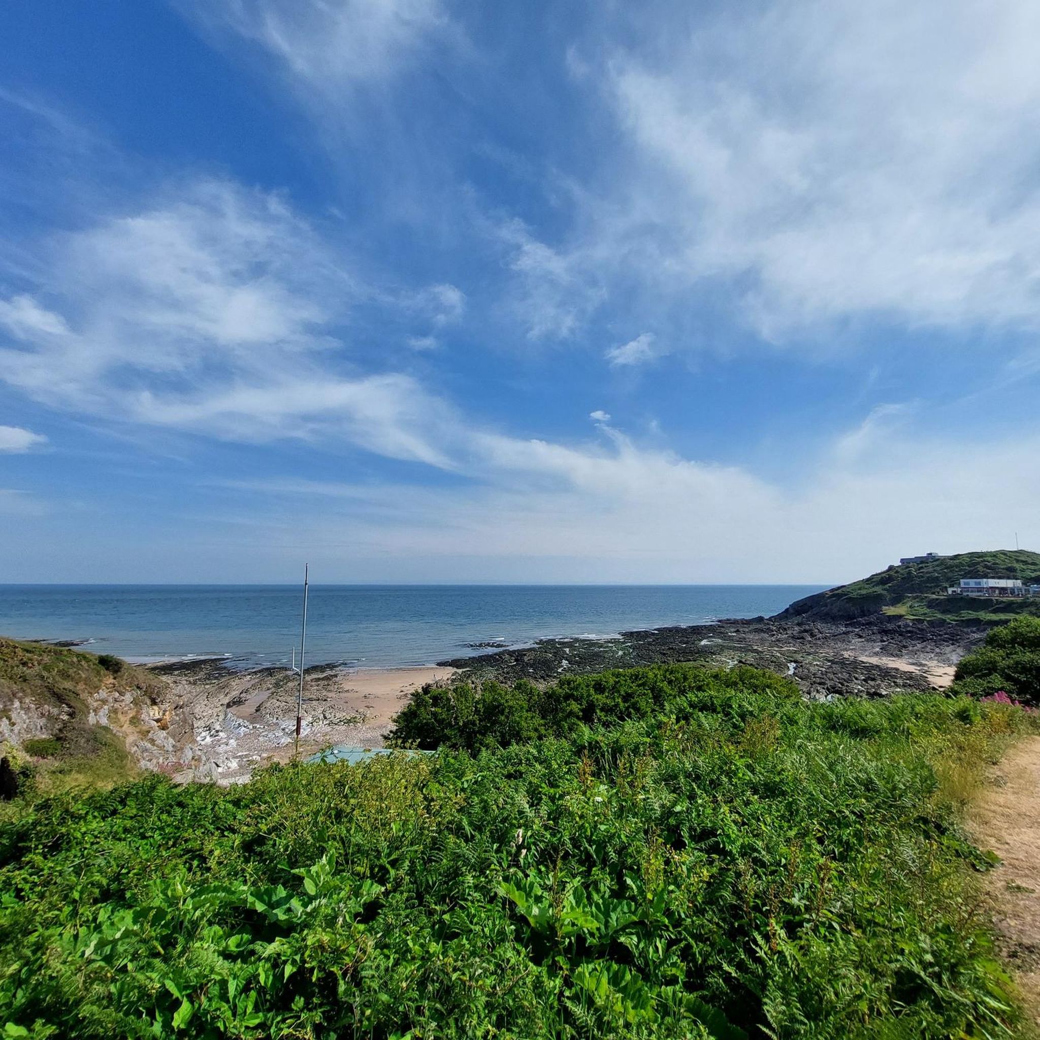
Caswell Bay and its beach is one of the best beach areas in Wales. It is very popular and accessible. It is a great spot for surfers, families and other beachgoers alike. It is a fantastic bay and has good all round amenities.
0
0
Frequently Asked Questions
How many road cycling routes are available in St. Thomas?
There are over 240 road cycling routes around St. Thomas, catering to various skill levels. This includes 64 easy routes, 130 moderate routes, and 48 difficult routes, ensuring options for every cyclist.
What is the typical terrain like for road cycling in St. Thomas?
St. Thomas offers a challenging and exhilarating road cycling experience due to its mountainous topography. You'll encounter significant elevation changes, including strenuous climbs and exciting descents. The terrain features winding coastal roads and rugged hill climbs, with surfaces ranging from compact asphalt to packed dirt and occasional rocky segments.
Are there any specific challenging climbs for experienced road cyclists?
Yes, St. Thomas is known for its demanding climbs. For instance, Mafolie Road is a notable ascent, spanning 1.7 miles with an average gradient of 9.8% and sections as steep as 16.3%. A full island circumference ride can also present significant challenges, covering 76.2 km with 1,882 meters of elevation gain and gradients up to 10.2%.
Where can I find flatter, more leisurely road cycling options in St. Thomas?
For a more relaxed ride, the Charlotte Amalie waterfront offers flatter terrain. This area is ideal for leisurely cycling and exploring historical sites such as the 99 Steps, Fort Christian, and the vibrant shopping district.
What kind of scenic views can I expect on St. Thomas road cycling routes?
Road cycling routes in St. Thomas offer breathtaking panoramic views. High peaks like Crown Mountain (1,555 feet) provide expansive vistas. Scenic lookouts such as Drake's Seat and the USVI Skyline Drive Lookout offer stunning perspectives of Magens Bay and the surrounding islands.
Are there any specific routes that are good for beginners or those looking for an easier ride?
Yes, among the 242 routes, 64 are classified as easy. A good option for a more accessible ride is the Swansea Marina to the Mumbles loop, which is rated easy and offers a manageable distance and elevation profile.
What do other road cyclists enjoy most about road cycling in St. Thomas?
The area is highly rated by the komoot community, with an average score of 4.5 stars from over 170 reviews. Reviewers often praise the island's unique combination of challenging climbs, exhilarating descents, and spectacular coastal views that make every ride memorable.
What are some notable landmarks or natural features I might see along the routes?
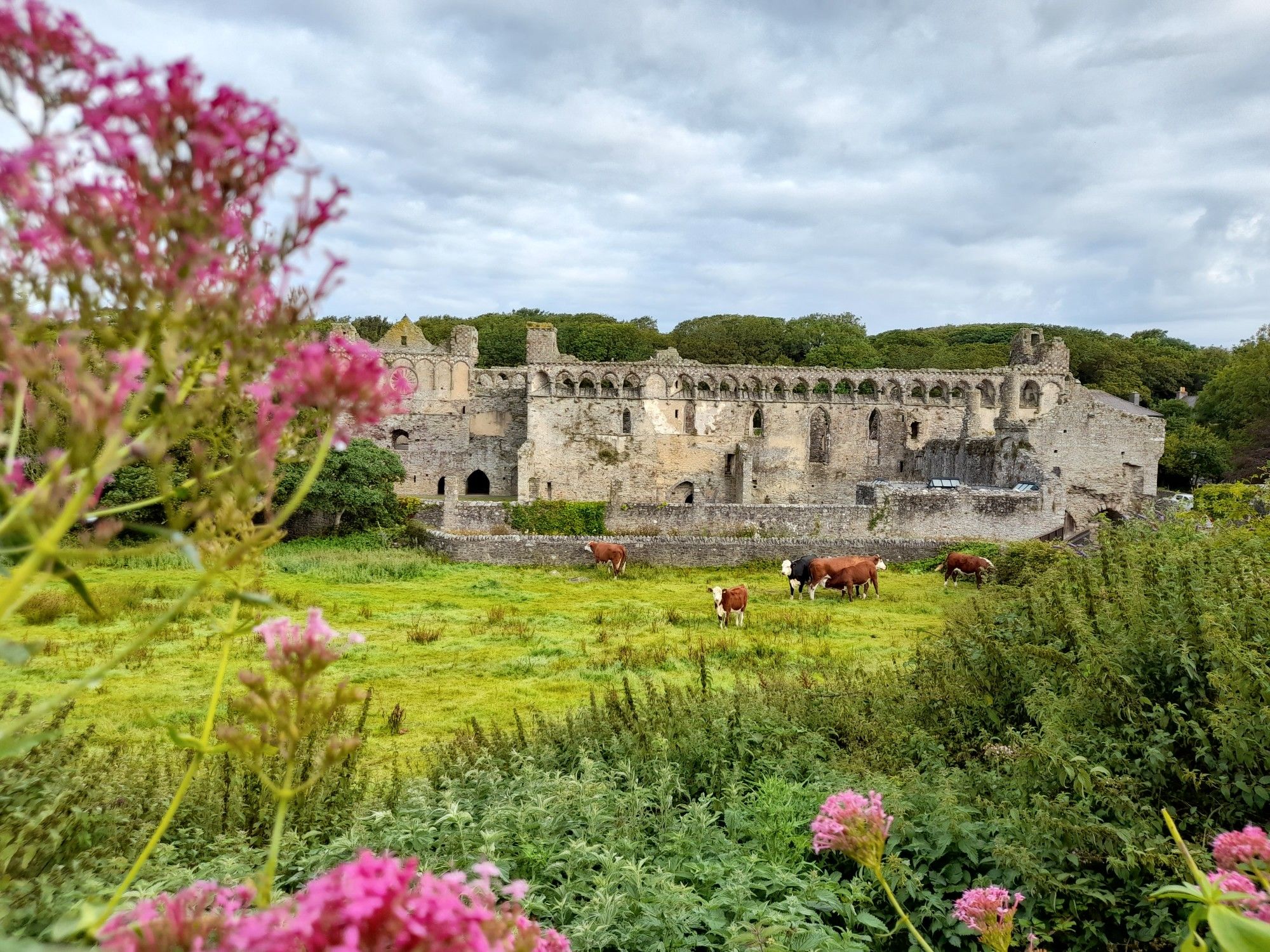
While cycling, you might encounter various natural and historical landmarks. Keep an eye out for Carreg Bica Standing Stone or the scenic Rams Tor Headland. The island also features beautiful beaches like Caswell Bay Beach and the iconic Bracelet Bay and the Mumbles Lighthouse.
What should I be aware of regarding road conditions and safety in St. Thomas?
Roads in St. Thomas can be narrow, steep, and feature many blind curves, often lacking shoulders. It is highly recommended to stay off the main roads due to traffic and local driving customs. Cyclists should be prepared for varied surfaces, from asphalt to packed dirt, and occasional rocky segments, requiring a versatile bike and good fitness.
Are there any long-distance or difficult loop routes for advanced cyclists?
Yes, for advanced cyclists seeking a significant challenge, routes like the Swansea Marina to Devil's Elbow loop offer a difficult rating with substantial distance and elevation gain. Another demanding option is the Devil's Elbow and Bwlch Bryn-Rhudd loop from Swansea.
What is the best time of year for road biking in St. Thomas?
While specific weather data by month isn't provided, St. Thomas offers a tropical climate. Generally, the cooler, drier months from December to May are often preferred for outdoor activities, avoiding the peak hurricane season and higher humidity of summer and fall. Always check local weather forecasts before heading out.
Are there any waterfalls or unique natural monuments to see while cycling?
Yes, St. Thomas and its surroundings feature natural attractions. You might find the Penllergare Waterfall or the Moel Darran Trig Point, which offers a unique natural monument, accessible from some routes.
Most popular routes around St. Thomas
Most popular attractions around St. Thomas

Get inspired with the komoot mobile app


Explore more
Browse the best Road cycling routes in other regions.
