The best walks and hikes around Pampisford
4.4
(405)
4,769
hikers
216
hikes
Hikes around Pampisford explore the South Cambridgeshire countryside, an area characterized by a mix of open farmland, managed parkland, and historic landscapes. The terrain is generally flat, with routes following footpaths through fields and alongside features like the ancient Brent Ditch. The region is part of the Cambridgeshire Chalk landscape, offering a network of accessible trails.
Best hiking trails around Pampisford
- The most popular hiking route is the Babraham Pocket Park loop from Sawston War Memorial, a 4.0 mile (6.4 km) trail that takes about 1 hour 35 minutes to complete. This easy walk follows paths through local green spaces and fields.
- Another top favourite among local hiking enthusiasts is the Wide Gravel Path – Babraham Ford and Footbridge loop from Sawston War Memorial, a moderate 6.7 mile (10.8 km) path. The route uses wide gravel tracks and crosses the Babraham Ford.
- Local hiking enthusiasts also love the Avenue of Trees – Magog Down loop from Babraham, a 7.3 mile (11.8 km) trail leading through avenues of trees, often completed in about 3 hours.
- Hiking around Pampisford is defined by gentle farmland paths, walks through parkland, and routes that connect local villages. The network of trails provides both easy circular walks and more moderate options for longer days out.
- The routes in Pampisford are highly rated by the komoot community with an average score of 4.5 stars from over 300 reviews. More than 3,900 hikers have used komoot to explore Pampisford's varied terrain.
Last updated: May 21, 2026
4.5
(2)
7
hikers
Moderate hike. Good fitness required. Easily-accessible paths. Suitable for all skill levels.
4.4
(5)
30
hikers
Easy hike. Great for any fitness level. Easily-accessible paths. Suitable for all skill levels.

Sign up for free
5.0
(1)
14
hikers
4.80km
01:13
10m
10m
Easy hike. Great for any fitness level. Easily-accessible paths. Suitable for all skill levels.
9
hikers
Easy hike. Great for any fitness level. Easily-accessible paths. Suitable for all skill levels.
12
hikers
Easy hike. Great for any fitness level. Easily-accessible paths. Suitable for all skill levels.
Get access to more routes and recommendations from other explorers.
Sign up for free
Already have an account?
Our route recommendations are based on thousands of hikes, rides, and runs completed by other people on komoot.
Start today with a free account
Your next adventure awaits.
Login or Signup


Tips from the Community

P.S. The land owner/farmer has obviously had problems with unauthorised vehicles using this track, because there are now large hay bales installed either side of the ford and in front of nearby farm gates. Access across the stream via the adjacent footbridge is still possible, but don't be disappointed if you wanted to take a run through the ford. P.P.S. The hay bales have now been removed from the ford!
1
0

nice sections of fast gravel on either side of the ford. great section from Babraham to Stapleford
0
0

Independent coffee shop situated in the Stapleford Granary arts centre. Indoor seating as well as a terrace at the back and a few outdoor tables at the front. Plenty of bike parking available too. Open 8.30am-4pm in the week (closed Wed), 9am-3pm Sat, 10am-3pm Sun.
1
0


Beware of dog walkers! I've been knocked off my bike on occasions by stray dogs looking for their owners who totally oblivious to cyclists.
0
0
Standard village church. Not easily accessible in road cleats.
0
0
Independent cafe, sister to the original one in Newmarket (www.komoot.com/highlight/3294821)
0
0

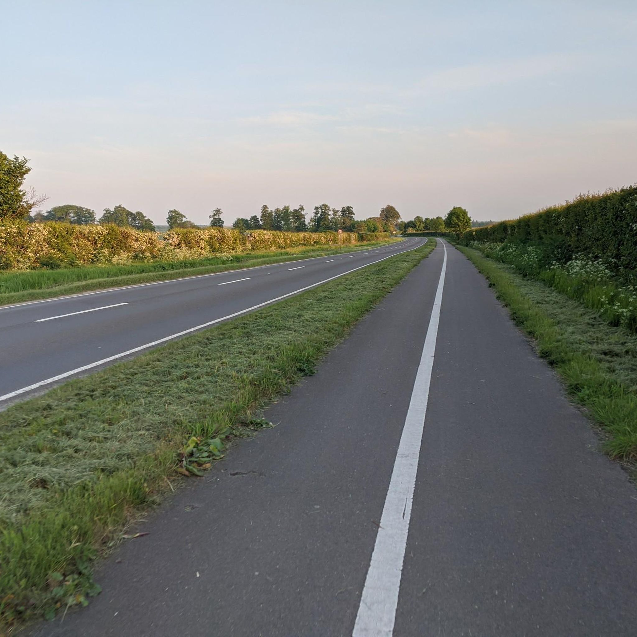
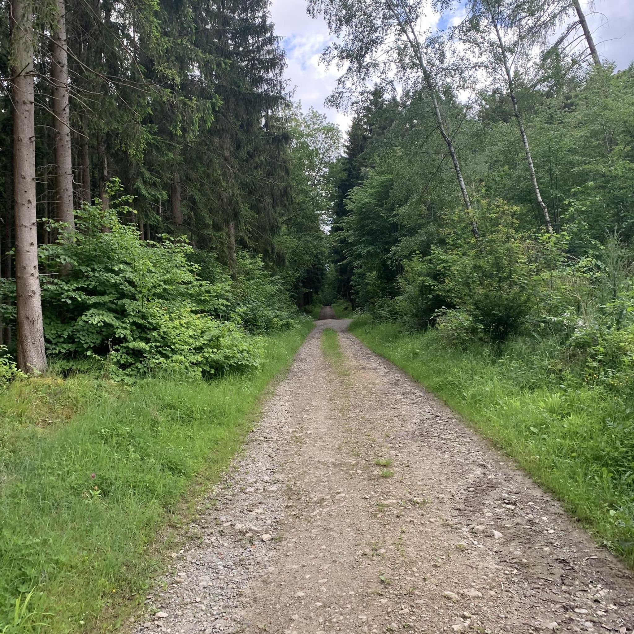
Flat gravel & dirt road, shared with walkers & dogs, with a few scenic landmarks along the way
1
0
Frequently Asked Questions
What is the general difficulty of the hikes in Pampisford?
The terrain around Pampisford is generally flat, making most routes accessible. The majority of trails are classified as easy or moderate, typically following well-trodden footpaths through open farmland and parkland. This makes the area suitable for a wide range of fitness levels.
Are there many circular walks available?
Yes, many of the walking routes in the area are designed as loops, allowing you to start and end in the same place without retracing your steps. A good example is the Footpath to Sawston loop from Sawston War Memorial, which offers a pleasant circular journey through the local countryside.
What are some good family-friendly hikes near Pampisford?
For a shorter, easier walk that's great for families, consider the Babraham Pocket Park loop from Babraham. It's a relatively short walk on easy paths, making it manageable for little legs while still offering a lovely experience of the local green spaces.
Can I take my dog on the trails around Pampisford?
Dog walkers will find many suitable paths in the Pampisford area. Most trails cross open farmland and public footpaths where dogs are welcome. However, you will likely encounter livestock, so it's essential to keep your dog on a lead and under control, especially in fields with sheep or cattle.
What kind of scenery and historical features can I expect?
The landscape is a charming mix of managed parkland, open fields, and woodland. A unique feature of the area is the historic
Pampisford Hall estate, which contains a world-renowned pinetum with exotic trees. On some routes, you may also encounter sections of the ancient Brent Ditch, a defensive earthwork dating back to the 5th century.
Where is the best place to park for walks?
Many routes begin from nearby villages which offer on-street parking. A common starting point for several popular hikes is the area around the Sawston War Memorial. When parking in villages, please be considerate of local residents. Always check for any local parking restrictions before you set off.
Are there any longer or more challenging hikes available?
While most trails are gentle, there are more moderate options for those seeking a longer walk. The Wide Gravel Path – Babraham Ford and Footbridge loop from Sawston War Memorial is a great choice, covering over 10 km and providing a more substantial outing through the Cambridgeshire countryside.
What do other hikers enjoy about the Pampisford area?
The area is highly rated by the komoot community. Hikers often praise the peacefulness of the trails, the well-maintained paths through farmland, and the unique historical features. The mix of gentle terrain and scenic village-to-village routes is frequently mentioned as a highlight.
How many hiking trails are there around Pampisford?
There is a wide variety of routes to explore, with over 200 trails mapped on komoot in the greater Pampisford area. These range from short, easy strolls to more moderate day hikes, ensuring there's a walk to suit every preference.
Are there any trails with notable viewpoints or scenic spots?
The Avenue of Trees – Magog Down loop from Babraham is particularly scenic. This route takes you through beautiful tree-lined avenues and offers elevated views from the Magog Down, providing a different perspective of the surrounding chalk landscape.
Is the area accessible by public transport?
Yes, the region is reasonably well-served by public transport, particularly bus routes connecting to Cambridge and surrounding villages like Sawston. Starting your hike from one of these villages is a great way to explore the area without a car. Always check the latest timetables before you travel.
Most popular attractions around Pampisford

Get inspired with the komoot mobile app


Explore more
Browse the best Hikes in other regions.
