The best road cycling routes around Woldert
4.6
(181)
1,429
riders
149
rides
Road cycling routes around Woldert navigate a landscape characterized by rolling hills, river valleys, and historic sites. The region features a mix of open countryside and forested sections, with routes often incorporating former railway lines and scenic paths. Elevation changes are common, providing varied terrain for road cyclists.
Best road cycling routes around Woldert
- The most popular road cycling route is Wiedbahn Tunnel and Bridge – Lahr Castle loop from Woldert, a 30.5 miles (49.0 km) trail that takes…
Last updated: October 8, 2026
5.0
(2)
43
riders
49.4km
02:08
410m
410m
Moderate road ride. Good fitness required. Mostly well-paved surfaces and easy to ride.
4.7
(3)
28
riders
76.6km
03:35
910m
910m
Hard road ride. Very good fitness required. Mostly well-paved surfaces and easy to ride.

3.0
(1)
19
riders
27.3km
01:09
190m
190m
Easy road ride. Great for any fitness level. Mostly well-paved surfaces and easy to ride.
9
riders
60.5km
02:47
670m
670m
Moderate road ride. Good fitness required. Some segments of this route may be unpaved and difficult to ride.
5.0
(1)
8
riders
84.2km
04:00
1,070m
1,070m
Hard road ride. Very good fitness required. Mostly well-paved surfaces and easy to ride.
Get access to more routes and recommendations from other explorers.
Already have an account?
Our route recommendations are based on thousands of hikes, rides, and runs completed by other people on komoot.
Start today with a free account
Your next adventure awaits.
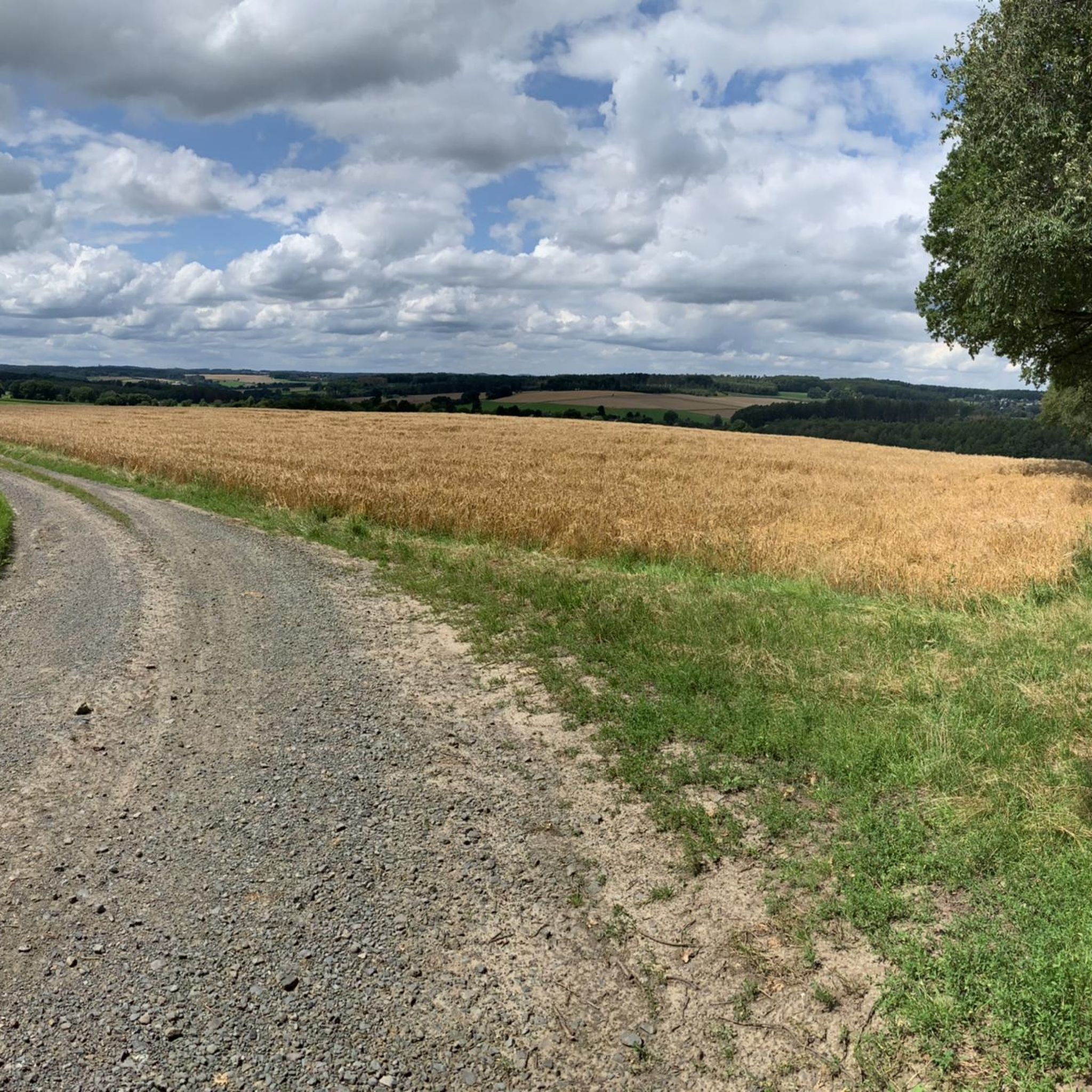
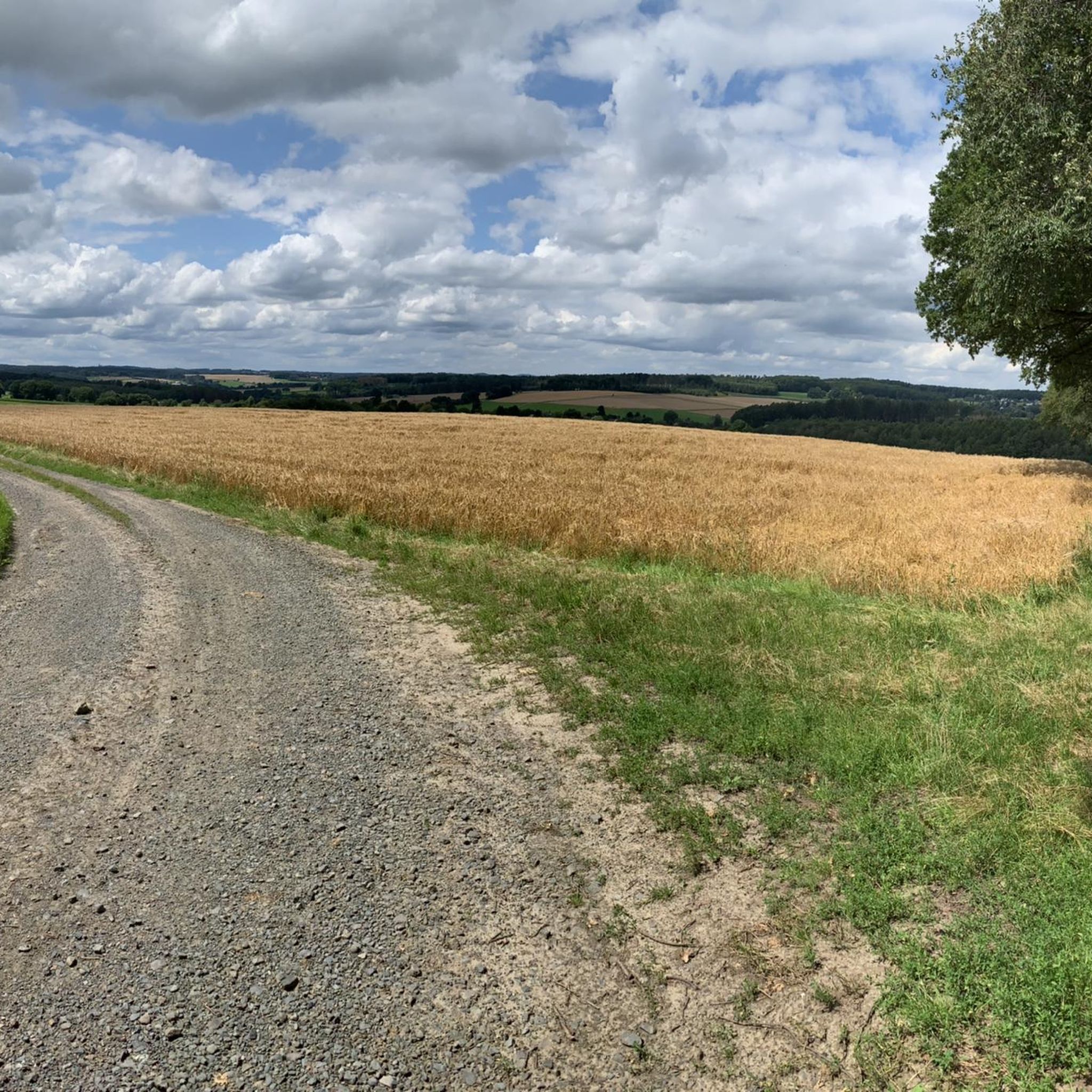
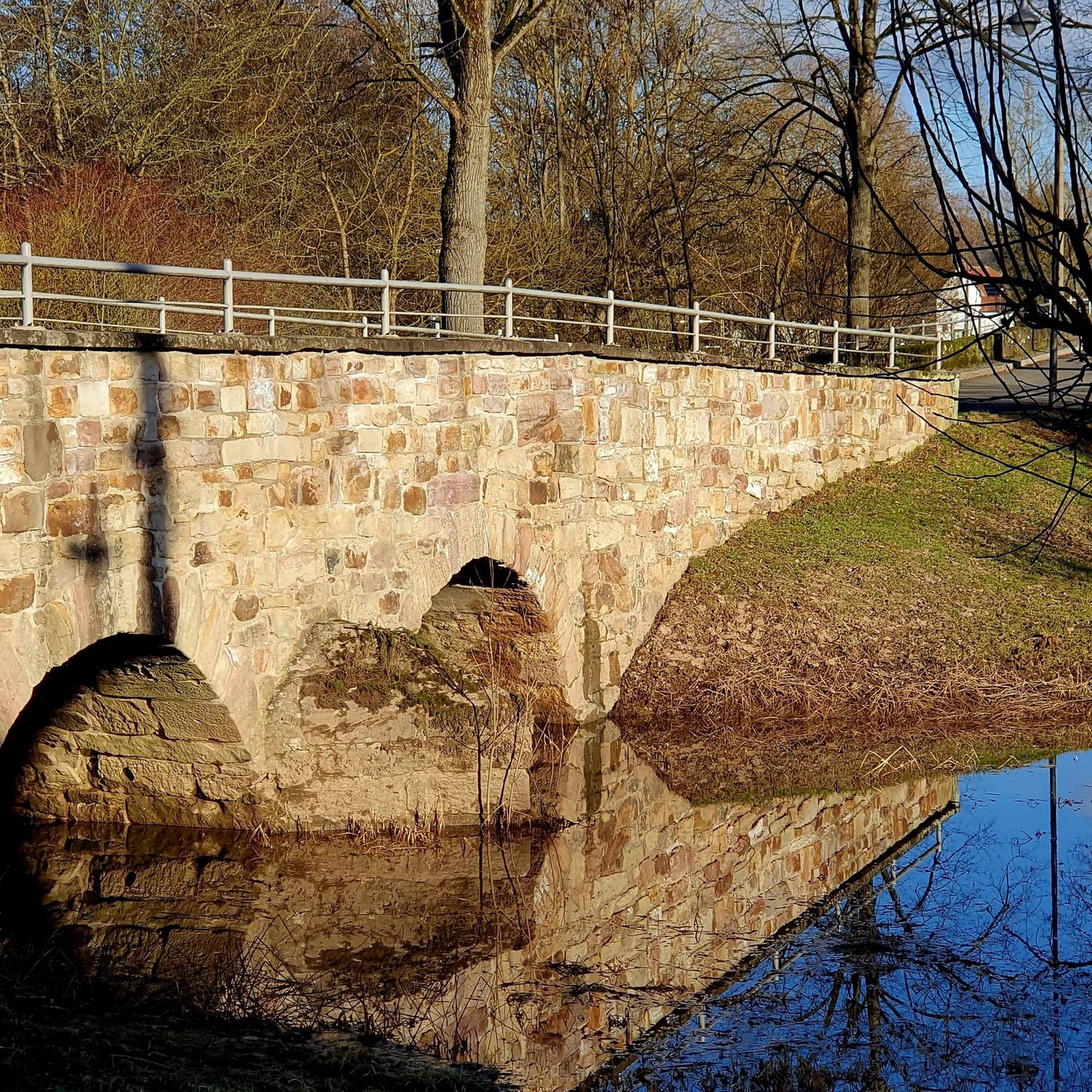
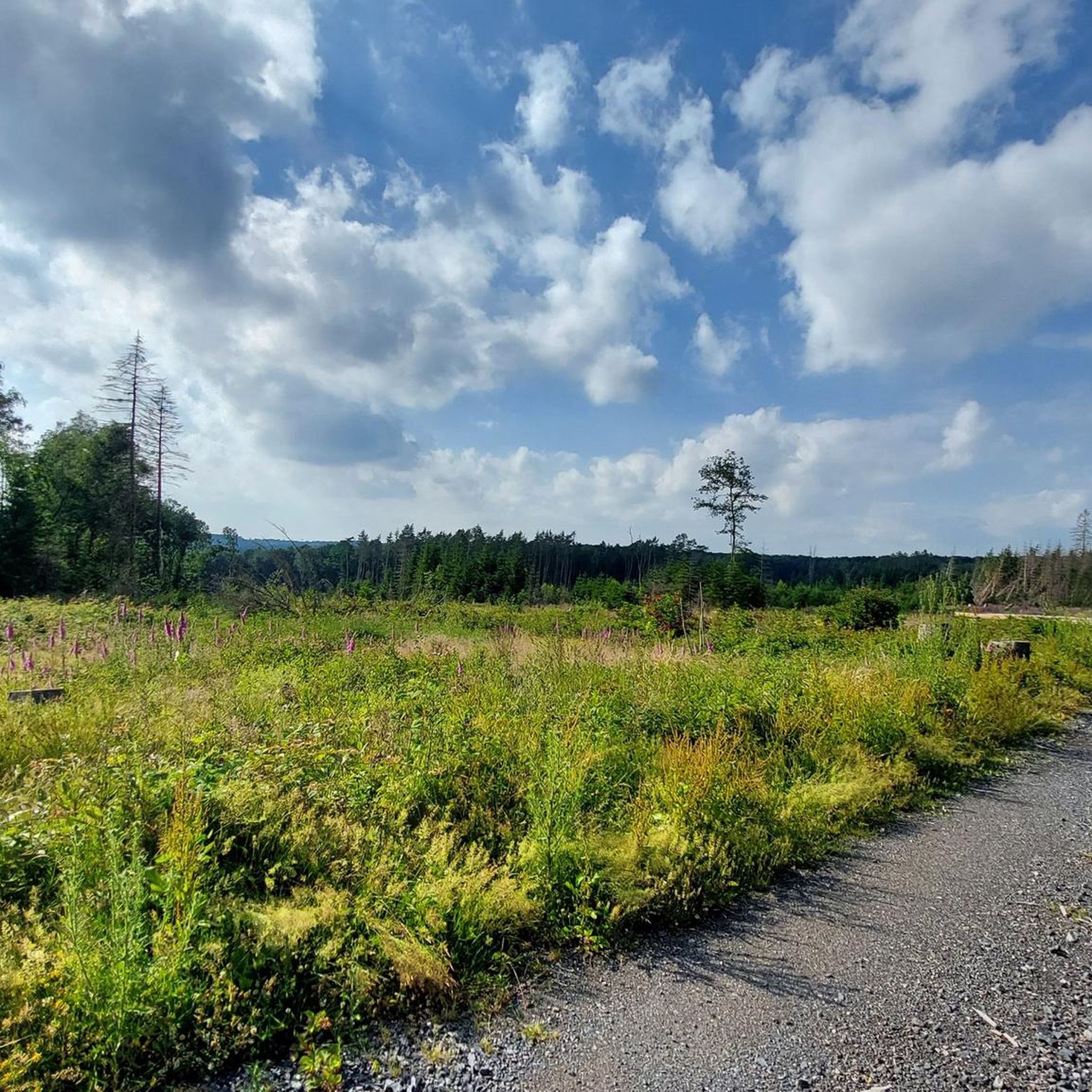
Tips from the Community

Beautiful to look at
0
0


Beautiful half-timbered mill! Paved path from visit to Rossbach
0
0

There used to be infrastructure there; it would be nice if it were still there.
0
0

"On Palm Sunday, March 25, 1945, the town was bombed and half destroyed during the Allied advance. The town suffered 71 casualties at that time. More than 50 houses were completely destroyed, and many of the remaining houses suffered significant damage. One day later, on March 26, 1945, Dierdorf was occupied by US Army troops after brief skirmishes with the retreating remnants of the Wehrmacht. According to American sources, 67 Martin B-26 "Marauder" bombers flew the air raid on Dierdorf. They dropped a total of 272 bombs over the target area in eight waves. Each bomb weighed 450 kg." https://de.wikipedia.org/wiki/Dierdorf
0
0
Tunnels with light switches are not something you see every day
0
0

Unfortunately not a nice road surface
1
0
Is everything allowed?? No matter, there is a lot to explore
3
0
Frequently Asked Questions
How many road cycling routes are available around Woldert?
There are over 150 road cycling routes around Woldert, offering a wide range of options for different skill levels and preferences. The komoot community has explored these routes over 1,300 times.
Are there easy road cycling routes suitable for beginners in Woldert?
Yes, Woldert offers several easy road cycling routes. For instance, the Raubach Station – Eulenturm (Lower Tower) Dierdorf loop from Maroth is an easy 17.0-mile (27.3 km) trail that can be completed in about 1 hour 9 minutes, leading through varied terrain.
What are some challenging or long-distance road cycling routes around Woldert?
For experienced cyclists seeking a challenge, routes like the Wiedbahn Tunnel and Bridge – Burg Ehrenstein Ruins loop from Hanroth offer a difficult 47.7-mile (76.8 km) path with significant elevation gain. Another demanding option is the K11 Road Near Strickhausen – Rosbachtal Cycle Path loop from Puderbach, spanning over 85 km with substantial climbing.
When is the best time of year for road cycling in Woldert?
The best time for road cycling in Woldert is typically from spring through autumn (April to October). During these months, the weather is generally milder, and the scenic landscapes, including river valleys and forested sections, are at their most vibrant. Winter cycling can be challenging due to colder temperatures and potential ice or snow.
Are there any circular road cycling routes in Woldert?
Many of the road cycling routes around Woldert are designed as loops, allowing you to start and finish in the same location. Examples include the popular Wiedbahn Tunnel and Bridge – Lahr Castle loop from Woldert and the Dreifelder Weiher – Dreifelder Weiher loop from Woldert.
What kind of terrain can I expect on road cycling routes in Woldert?
Road cycling routes around Woldert feature a diverse landscape characterized by rolling hills, river valleys, and historic sites. You'll encounter a mix of open countryside and forested sections, with elevation changes being common, providing varied terrain from gentle slopes to more challenging climbs.
What can I see along the road cycling routes in Woldert?
Many routes offer scenic views and pass by interesting landmarks. You might cycle along the beautiful Wied Valley, spot the historic Bismarck Tower Altenkirchen, or pass by natural areas like the Maroth Forest Lake and the Grenzbachtal Nature Reserve.
What do other road cyclists enjoy the most about road cycling in Woldert?
The area is highly rated by the komoot community, with an average score of 4.7 stars from over 120 reviews. Reviewers often praise the varied terrain, the scenic river valleys, and the historical structures encountered along the routes, such as the Wiedbahn Tunnel and Lahr Castle.
Are there any specific historical sites or structures to look out for on the routes?
Yes, several routes incorporate historical elements. For example, the Wiedbahn Tunnel and Bridge – Lahr Castle loop from Woldert passes by historical structures and a castle. The Wiedbahn Tunnel and Bridge – Burg Ehrenstein Ruins loop from Hanroth also offers views of the Wiedbahn Tunnel and the Burg Ehrenstein Ruins.
Are there routes that follow former railway lines in Woldert?
Yes, some road cycling routes in the Woldert region incorporate sections of former railway lines, which often provide relatively flat and well-maintained paths through scenic areas. These sections can be a pleasant feature for cyclists looking for smoother stretches.
Can I find routes that are less crowded in Woldert?
While some popular routes can see more traffic, Woldert's extensive network of over 150 routes means it's possible to find quieter paths, especially on weekdays or by exploring some of the less-trafficked local roads and trails that wind through the countryside and forested areas.
What is the average elevation gain on road cycling routes in Woldert?
Due to the rolling hills, elevation changes are common. Routes can vary significantly; for instance, an easy route like the Raubach Station – Eulenturm (Lower Tower) Dierdorf loop from Maroth has about 190 meters of ascent, while a difficult route such as the Wiedbahn Tunnel and Bridge – Burg Ehrenstein Ruins loop from Hanroth features over 900 meters of elevation gain.
Most popular attractions around Woldert

Get inspired with the komoot mobile app


Explore more
Browse the best Road cycling routes in other regions.
