The best MTB trails around Witzleben
4.5
(334)
1,123
riders
178
rides
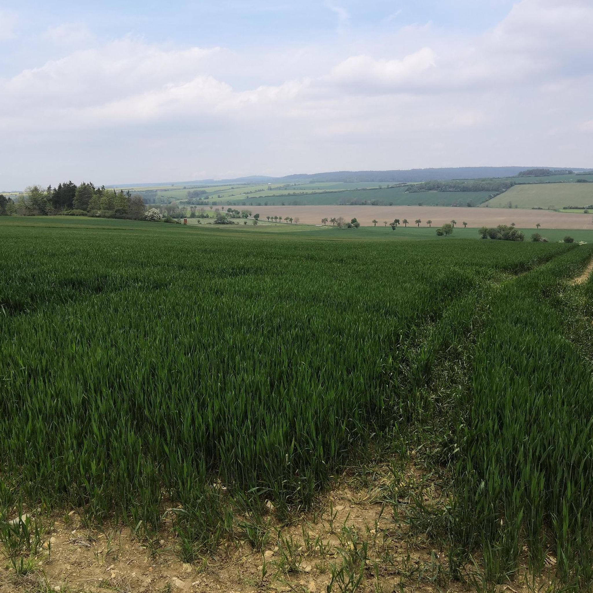
Mountain biking around Witzleben offers access to diverse terrain at the edge of the Thuringian Forest. The region features rolling hills, green meadows, and dense woodlands, providing varied landscapes for mountain bike trails. The River Ilm flows through the area, with paths along its banks complementing the forest routes. This low mountain range environment provides options for different skill levels, from moderate to challenging rides with significant elevation gains.
Best mountain bike trails around Witzleben
- The most popular mountain bike…
Last updated: October 26, 2026
5.0
(7)
29
riders
74.3km
04:42
730m
730m
Moderate mountain bike ride. Good fitness required. Advanced riding skills necessary.
4.8
(4)
18
riders
Moderate mountain bike ride. Good fitness required.

5.0
(5)
16
riders
46.5km
02:46
370m
370m
Moderate mountain bike ride. Good fitness required.
5.0
(2)
14
riders
45.8km
02:50
400m
400m
Moderate mountain bike ride. Good fitness required. Advanced riding skills necessary.
5.0
(1)
9
riders
93.6km
05:50
820m
820m
Hard mountain bike ride. Very good fitness required. Advanced riding skills necessary.
Get access to more routes and recommendations from other explorers.
Already have an account?
Our route recommendations are based on thousands of hikes, rides, and runs completed by other people on komoot.
Start today with a free account
Your next adventure awaits.


Tips from the Community

Historic mill site near Buchfart and a beautiful testament to the long milling tradition on the Ilm river. Its location right by the water makes the Pfeiffersmühle a point worth seeing along the route.
0
0
Impressive section directly below the striking rock castle of Buchfart. The steep rock faces rise directly above the path and give the route a very special character.
0
0
Historic mill in Hetschburg and a beautiful testament to the former use of the water power of the Ilm. The building ensemble blends picturesquely into the green surroundings of the Ilmtal.
0
0
Cozy studio café in Kranichfeld that combines art and a place to stop for a break. A lovely stop for coffee and cake during a tour through the Ilmtal.
0
0
The karst cave near Dienstedt is a geological peculiarity right in the Ilmtal valley. Rock formations and the cave area provide an interesting insight into the karst landscape shaped by water and make the place a worthwhile stop.
0
0
Small bridge over the Ilm in Dienstedt. From here, there is a beautiful view of the river course and the green bank vegetation.
0
0

The Große Dreiherrenstein (808 m) is a prominent historical border point and a central junction on the Rennsteig in the Thuringian Forest. The stone marks the historical border between the former lordships of Saxe-Weimar-Eisenach, Schwarzburg-Sondershausen, and Henneberg/Prussia.
5
0

Currently (mid-May) the plums lining the path are ripe and invite you to snack.
0
0
Frequently Asked Questions
How many mountain bike trails are available around Witzleben?
There are nearly 200 mountain bike trails around Witzleben listed on komoot. These routes offer a diverse range of experiences, from moderate forest paths to more challenging rides with significant ascents, catering to various skill levels.
What are the typical difficulty levels for mountain biking in Witzleben?
The mountain bike trails around Witzleben offer a good mix of difficulty levels. You'll find 41 easy routes, 143 moderate routes, and 14 difficult routes. This variety ensures options for beginners looking for gentle rides and experienced riders seeking a challenge.
Are there any long-distance mountain bike trails in the Witzleben area?
Yes, Witzleben is a great starting point for longer mountain bike adventures. For example, the challenging Ochsenbacher Pond – Center of the Rennsteig loop from Dienstedt spans nearly 95 kilometers with over 800 meters of elevation gain. Another substantial option is the moderate Upper Mill Hetschburg – Rock Castle loop from Dienstedt, covering over 73 kilometers.
What kind of landscapes can I expect while mountain biking near Witzleben?
Mountain biking around Witzleben offers a picturesque journey through varied landscapes. You'll traverse rolling hills, lush green meadows, and dense woodlands, particularly as you approach the extensive Thuringian Forest. The River Ilm also flows through the area, providing scenic paths along its banks.
Are there any family-friendly mountain bike routes in Witzleben?
While the region is known for its moderate to difficult trails, many of the 41 easy routes are suitable for families. These often follow less demanding forest paths or riverbank trails, allowing for a more relaxed cycling experience. Always check the route details on komoot for specific suitability.
What attractions can I visit along the mountain bike trails around Witzleben?
Several interesting attractions are accessible from the mountain bike trails. You could cycle past the impressive Hohenfelden Reservoir, or marvel at the 19th-century engineering of the Ilm Valley Viaduct (Stadtilm Viaduct). Nature lovers might also enjoy the Limestone Cliffs near Kranichfeld or the Kaiserwiese Nature Monument.
Are there any circular mountain bike routes available?
Yes, many of the mountain bike routes around Witzleben are designed as loops, making them convenient for day trips. Examples include the Hohenfelden Reservoir – Bad Berka Town Center loop from Witzleben and the Ostrich Farm Thuringia – Bad Berka Town Center loop from Kleinhettstedt.
What do other mountain bikers say about the trails in Witzleben?
The mountain bike trails in Witzleben are highly regarded by the komoot community, holding an average rating of 4.6 out of 5 stars from over 280 reviews. Riders frequently praise the diverse terrain, the scenic views, and the well-maintained paths through the Thuringian Forest.
When is the best time of year for mountain biking in Witzleben?
The region is generally suitable for mountain biking from spring through autumn. The warmer months offer pleasant conditions for exploring the forest paths and open meadows. Always check local weather forecasts before heading out, especially during shoulder seasons, as conditions can vary.
Are there any notable viewpoints along the mountain bike trails?
Yes, the rolling hills and elevated sections of the trails, particularly those closer to the Thuringian Forest, offer wide and impressive views over the countryside. Witzleben Castle, an 18th-century building, also provides panoramic views of the village and its surroundings, which can be incorporated into a ride.
Where can I find parking for mountain biking in Witzleben?
While specific parking areas for each trailhead are not detailed, Witzleben, as a village, typically offers public parking options. For routes starting from nearby towns like Dienstedt or Kleinhettstedt, you can usually find parking near the designated starting points or local amenities. It's advisable to check the specific route details on komoot for any parking recommendations.
Most popular routes around Witzleben
Most popular attractions around Witzleben

Get inspired with the komoot mobile app


Explore more
Browse the best MTB trails in other regions.
