The best road cycling routes around Owl Island
4.3
(44)
234
riders
30
rides
Road cycling around Owl Island features a diverse landscape, characterized by island roads, loughs, and rolling hills. The region offers a mix of coastal and inland routes, often passing through wooded areas and past historical sites. Elevations are generally moderate, providing accessible terrain for various skill levels.
Best road cycling routes around Owl Island
- The most popular road cycling route is Boa Island and Pettigo loop from Old Castle Archdale, a 25.6 miles (41.2 km) trail that takes 1…
Last updated: June 29, 2026
5.0
(1)
19
riders
41.2km
01:55
250m
250m
Easy road ride. Great for any fitness level. Mostly well-paved surfaces and easy to ride.
1
riders
89.8km
03:45
580m
580m
Moderate road ride. Good fitness required. Mostly well-paved surfaces and easy to ride.

Sign up for free
4.0
(9)
26
riders
45.0km
02:13
540m
540m
Moderate road ride. Good fitness required. Some segments of this route may be unpaved and difficult to ride.
5.0
(2)
21
riders
52.9km
02:23
400m
400m
Moderate road ride. Good fitness required. Mostly well-paved surfaces and easy to ride.
3.7
(20)
15
riders
40.2km
01:53
350m
350m
Moderate road ride. Good fitness required. Some segments of this route may be unpaved and difficult to ride.
Get access to more routes and recommendations from other explorers.
Sign up for free
Already have an account?
Our route recommendations are based on thousands of hikes, rides, and runs completed by other people on komoot.
Start today with a free account
Your next adventure awaits.
Login or Signup
Tips from the Community

Gorgeous views of the Lough, well paved surface
0
0

In the graveyard are several interesting stones, probably the most noted one is known as the Bishops stone, this odd shaped stone has been altered and reused several times, originally thought to have been a carved figure similar to those on nearby White Island. Another stone with a lot of history is the large slab standing west of the bishops stone, one side of the stone bears at least twelve cup-shaped hollows, see image above right, which suggest this maybe a multiple bullaun stone/cup marked stone that has been reused as an early Christian cross slab, as on the obverse face is a Greek cross in a circle with a bifurcated stem. Situated south of the bullaun stone is a holed stone, as the image shows this stone is half embedded in the ground. Immediately to the West of the holed stone is a broken 1.2 metre high stone pillar. This stone may have been damaged. http://www.megalithicireland.com/Killadeas.htm
1
0
In the graveyard are several interesting stones, probably the most noted one is known as the Bishops stone, this odd shaped stone has been altered and reused several times, originally thought to have been a carved figure similar to those on nearby White Island. Another stone with a lot of history is the large slab standing west of the bishops stone, one side of the stone bears at least twelve cup-shaped hollows, see image above right, which suggest this maybe a multiple bullaun stone/cup marked stone that has been reused as an early Christian cross slab, as on the obverse face is a Greek cross in a circle with a bifurcated stem. Situated south of the bullaun stone is a holed stone, as the image shows this stone is half embedded in the ground. Immediately to the West of the holed stone is a broken 1.2 metre high stone pillar. This stone may have been damaged. http://www.megalithicireland.com/Killadeas.htm
0
0

Nice village green with toilets and Loch side views
0
0


Boa Island Road has beautiful views to the shores of Lough Erne, Lusty More and Cruninish Island.
1
0
This fortified house is on Tully Point and built for Sir John Hume who occupied the house until 1641 when it was attacked by John Maguire and burned on Christmas Eve with all its inhabitants massacred. After that it was not lived in again. There is a visitors centre in a restored farmhouse that has an interesting exhibition telling a number of stories relating to the castle. To visit the castle be sure to step off the bike as it is on foot only!
1
0

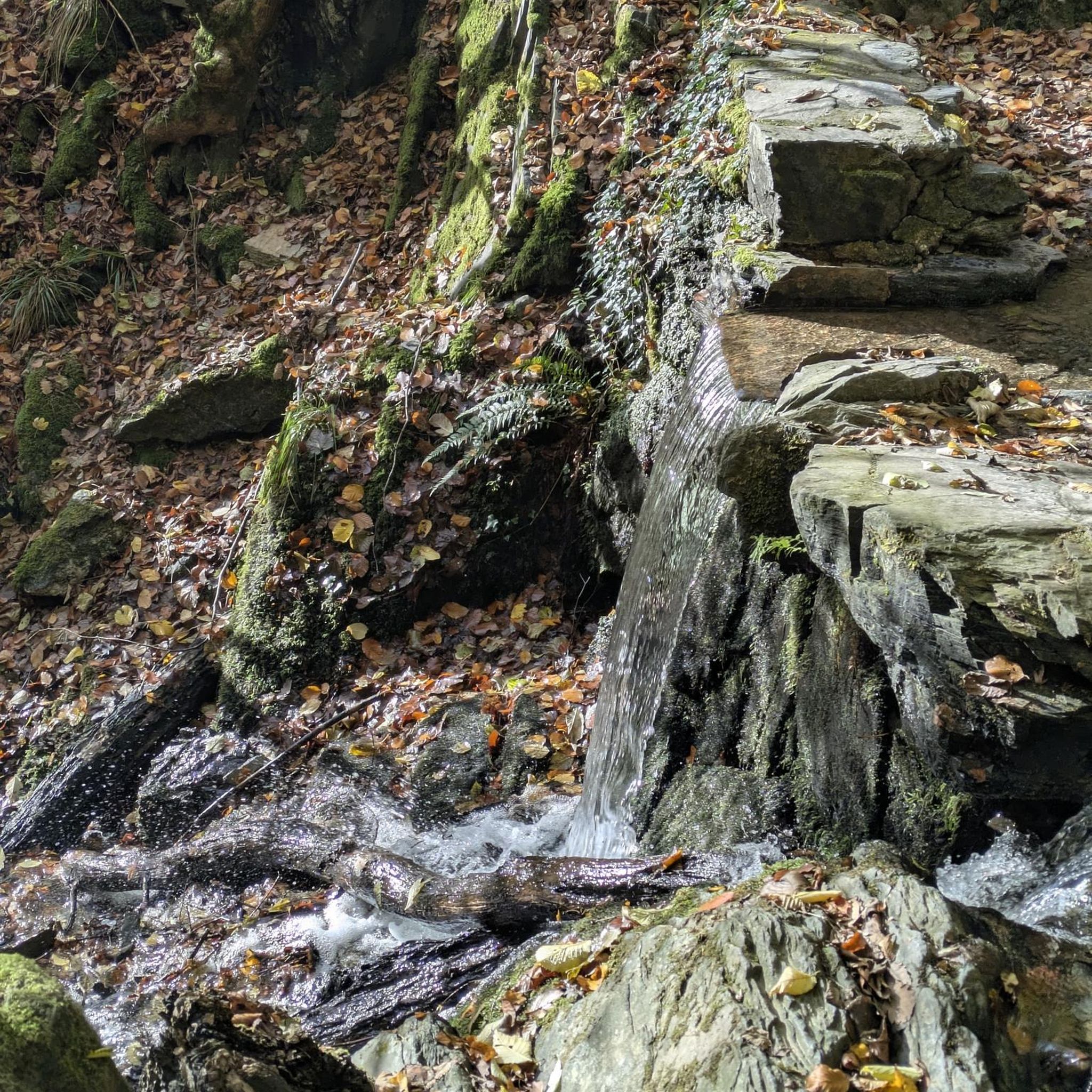
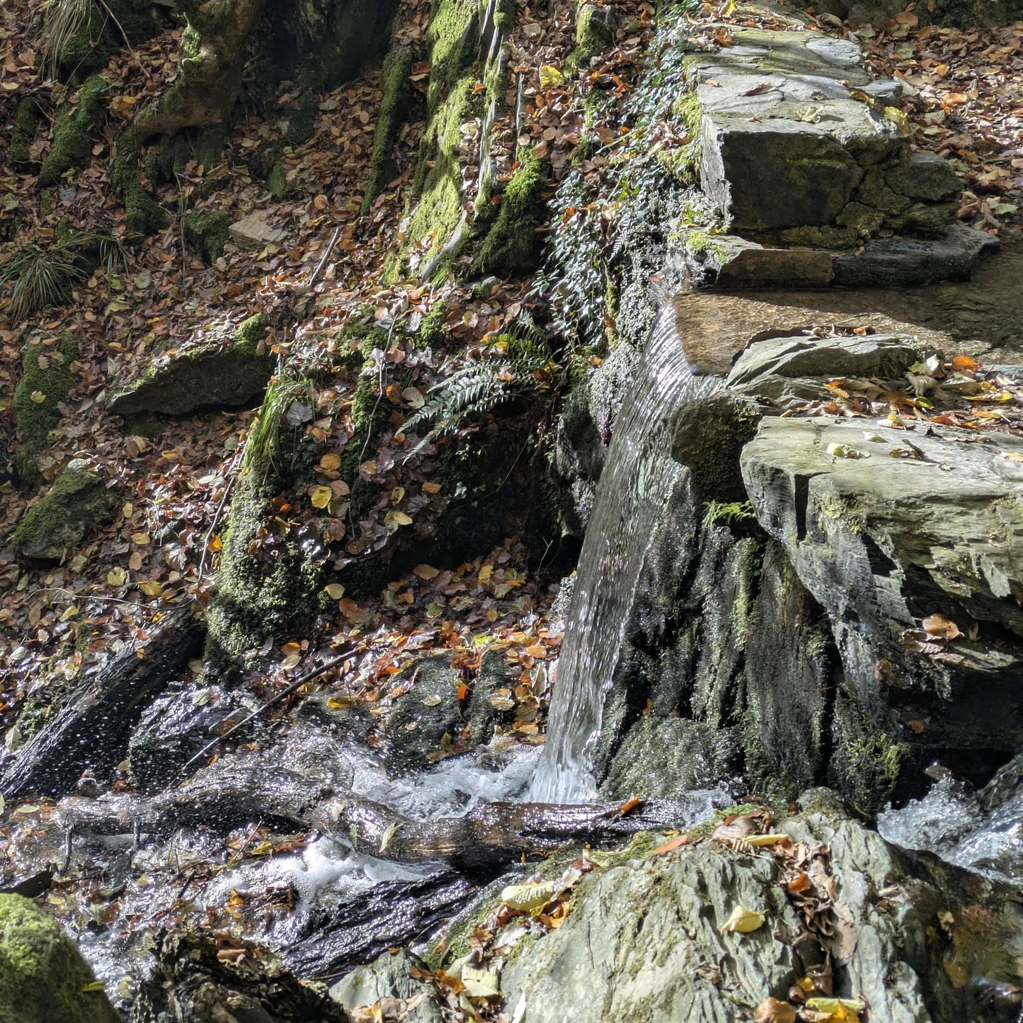
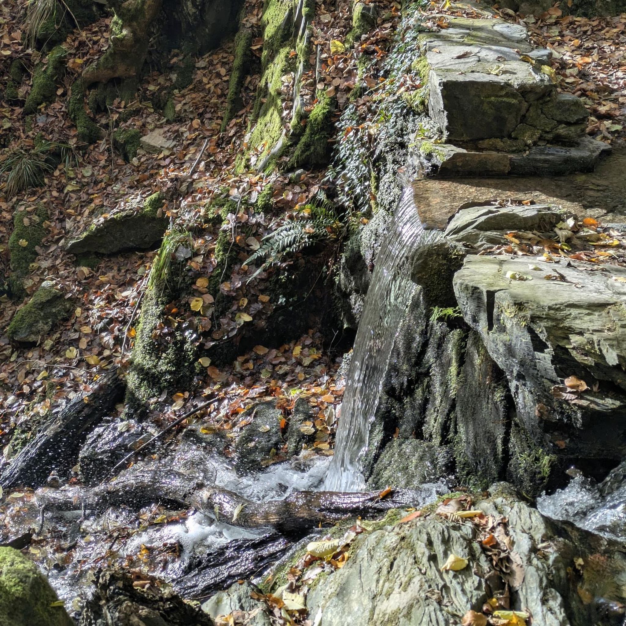
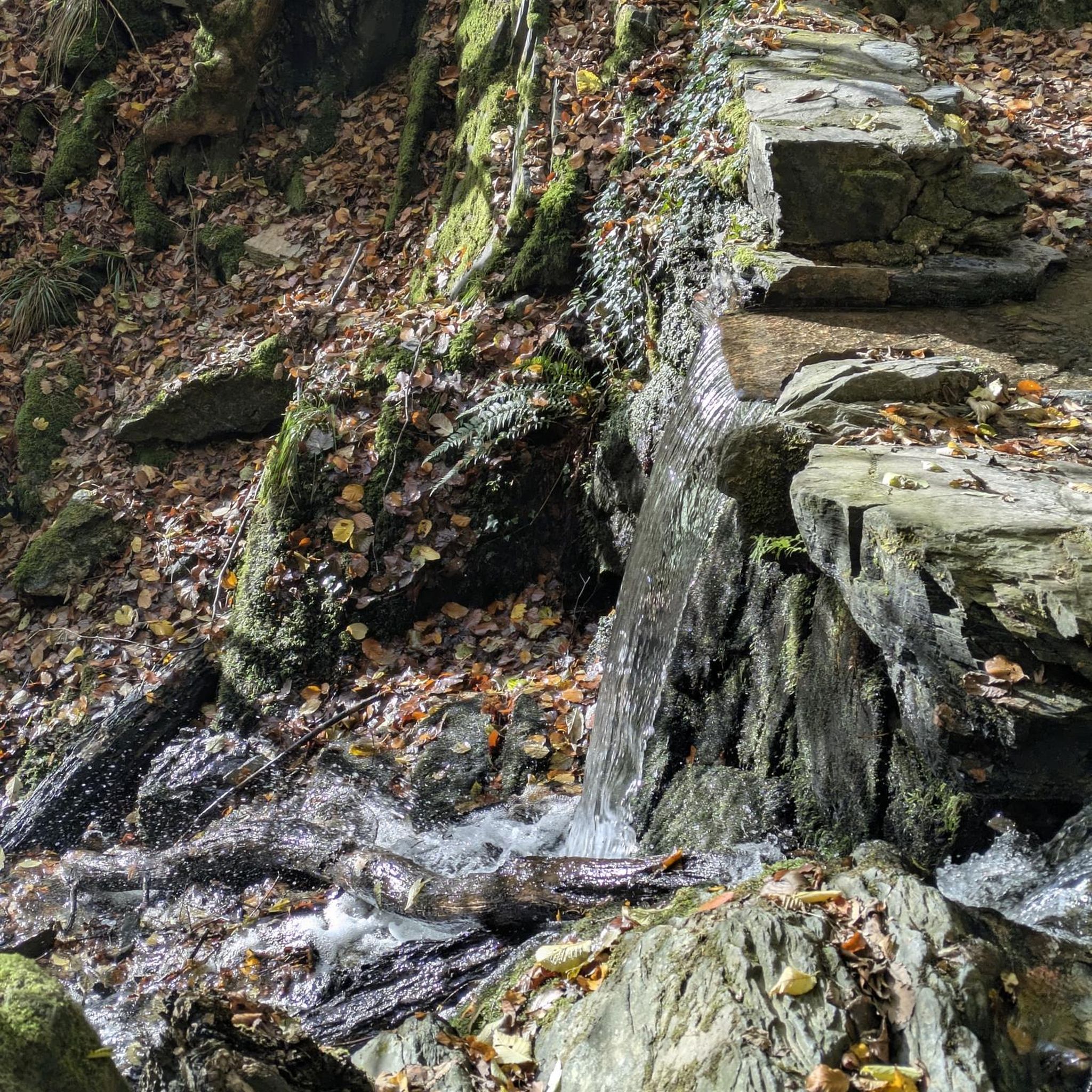
Surrounded by green rolling countryside, Roogagh Waterfall is a pretty nature spot on the outskirts of Garrison village close to Lough Melvin. There's a short walk that leads along the river and through woodland to reach the falls. You can pick up supplies in Garrison to enjoy a packed lunch overlooking the cascading water at one of the numerous picnic benches.
0
0
Frequently Asked Questions
How many road cycling routes are available around Owl Island?
There are over 30 road cycling routes around Owl Island listed on komoot. These include 11 easy routes, 20 moderate routes, and 2 more challenging options, offering a variety of experiences for different skill levels.
What kind of terrain can I expect when road cycling around Owl Island?
Road cycling around Owl Island features a diverse landscape, characterized by island roads, loughs, and rolling hills. You'll find a mix of coastal and inland routes, often passing through wooded areas and past historical sites. Elevations are generally moderate, making the terrain accessible for various skill levels.
Are there any easy or beginner-friendly road cycling routes in Owl Island?
Yes, Owl Island offers several easy routes suitable for beginners. An excellent option is the Boa Island and Pettigo loop from Old Castle Archdale, which is about 25.6 miles (41.2 km) and navigates scenic island roads with moderate elevation.
What do other road cyclists say about the routes in Owl Island?
The road cycling routes in Owl Island are highly rated by the komoot community, with an average score of 4.2 stars from over 50 reviews. Cyclists often praise the varied terrain, scenic lough views, and the mix of coastal and inland paths.
Are there any routes that pass by waterfalls or other natural attractions?
Yes, for those interested in natural attractions, the Carrick Lough – Roogagh Waterfall loop from Derrygonnelly is a moderate 27.9-mile (45.0 km) path that includes significant elevation gain and passes directly by Roogagh Waterfall, offering a scenic highlight.
Can I find routes that explore historical sites or landmarks?
Absolutely. Many routes around Owl Island pass by historical sites. For example, the Tully Castle Ruins – The Big Tree loop from Heron Island is a moderate 40.2 km route that takes you past the historic Tully Castle Ruins. Other notable landmarks in the area include Old Castle Archdale and Killadeas Priory Church and Early Christian Stones.
Are there any longer or more challenging road cycling routes for experienced riders?
For more experienced riders seeking a longer challenge, the Carrick Lough loop from Derrygonnelly is a moderate 32.7 miles (52.6 km) trail that leads through varied terrain around Carrick Lough. While not classified as 'difficult', its length and varied profile offer a good workout.
Are there any circular road cycling routes around Owl Island?
Yes, many of the routes around Owl Island are designed as loops, allowing you to start and end at the same point. Examples include the Boa Island and Pettigo loop and the Carrick Lough – Old Man's Head loop from Giltagh, which is a moderate 30.5 km ride.
What are some scenic viewpoints or places to explore along the routes?
The routes offer numerous scenic spots, particularly around the loughs. You can find beautiful views at Rossmore Point Beacon and enjoy vistas of Tom's Island. Many routes also skirt the shores of Carrick Lough, providing picturesque lakeside cycling.
Is it possible to find routes that are suitable for families or those looking for a relaxed ride?
While specific 'family-friendly' designations aren't provided, the 11 easy routes available around Owl Island are generally suitable for a more relaxed pace. These routes typically feature lower elevation gains and smoother terrain, making them a good choice for families or those new to road cycling.
What is the best season for road cycling around Owl Island?
Given the region's characteristics of island roads and loughs, spring and summer generally offer the most pleasant conditions for road cycling around Owl Island. The weather is typically milder, and the natural scenery is at its most vibrant. Autumn can also be beautiful with changing foliage, but be prepared for potentially cooler temperatures and more unpredictable weather.
Most popular routes around Owl Island
Most popular attractions around Owl Island

Get inspired with the komoot mobile app


Explore more
Browse the best Road cycling routes in other regions.
