The best running trails around Babraham
4.5
(238)
23,149
runners
625
runs
Jogging around Babraham offers a network of running routes through the gently rolling countryside of Cambridgeshire. The area is characterized by open fields, quiet lanes, and occasional wooded sections, providing a mix of surfaces for runners. Elevation changes are generally mild, making it suitable for various fitness levels. The landscape primarily consists of agricultural land interspersed with small villages and natural green spaces.
Best jogging routes around Babraham
- The most popular jogging route is Cambridge Road, Sawston – Whittlesford Church…
Last updated: August 18, 2026
58
runners
Moderate run. Good fitness required. Mostly paved surfaces. Suitable for all skill levels.
4.5
(2)
38
runners
Hard run. Very good fitness required. Mostly paved surfaces. Suitable for all skill levels.

Sign up for free
38
runners
9.79km
01:10
100m
100m
Moderate run. Good fitness required. Mostly paved surfaces. Suitable for all skill levels.
4.0
(1)
38
runners
8.74km
00:58
60m
60m
Moderate run. Good fitness required. Mostly paved surfaces. Suitable for all skill levels.
4.5
(2)
30
runners
5.38km
00:34
10m
10m
Moderate run. Good fitness required. Mostly paved surfaces. Suitable for all skill levels.
Get access to more routes and recommendations from other explorers.
Sign up for free
Already have an account?
Our route recommendations are based on thousands of hikes, rides, and runs completed by other people on komoot.
Start today with a free account
Your next adventure awaits.
Login or Signup
Tips from the Community

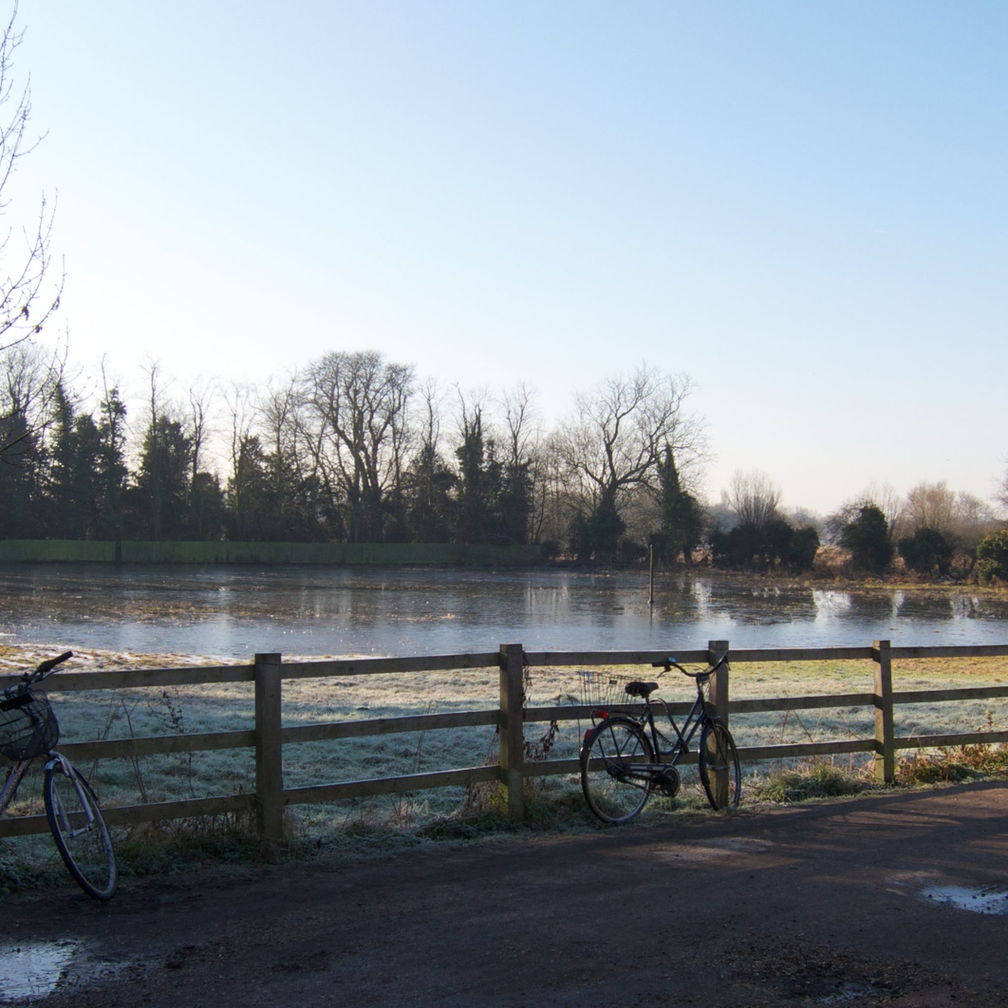
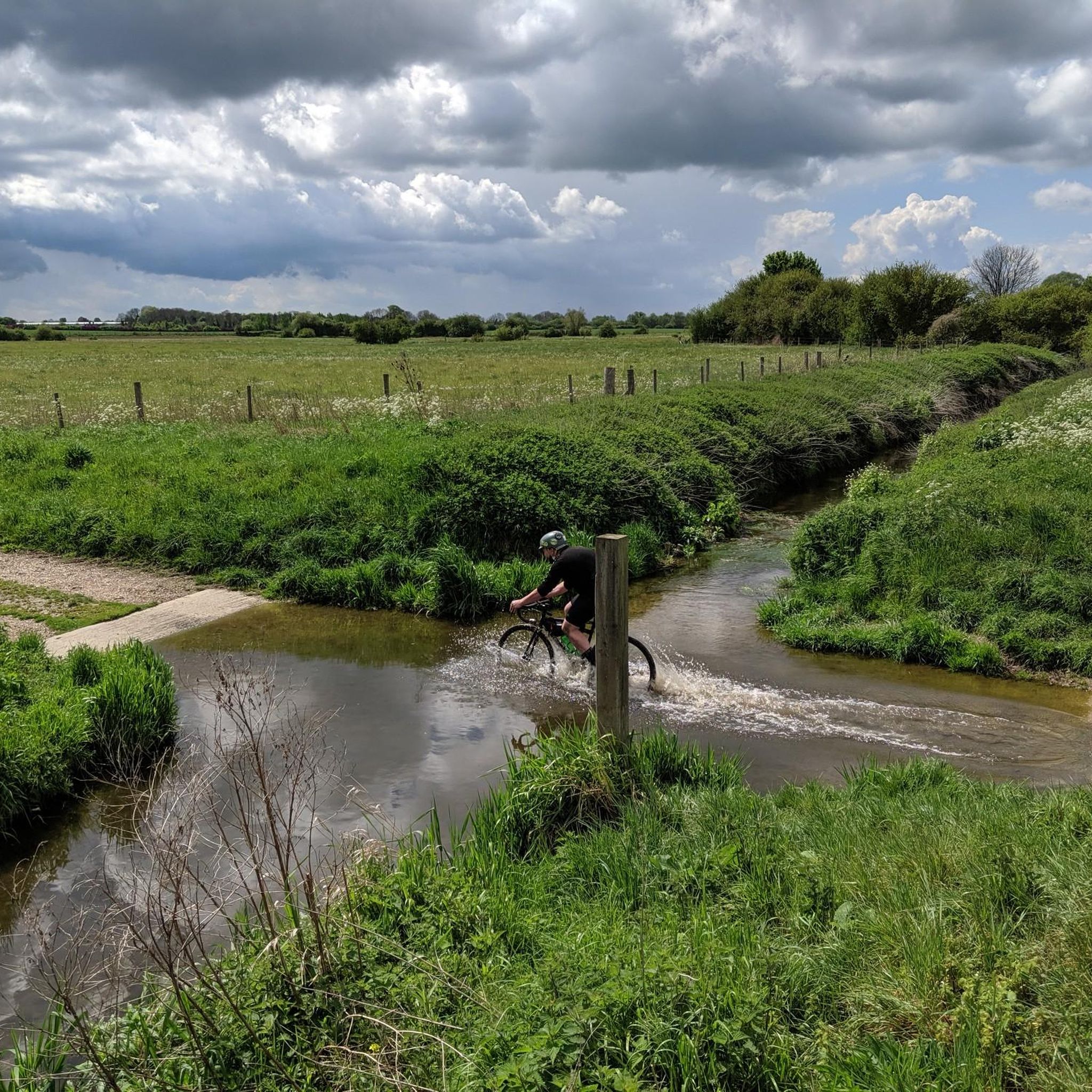
A great bit of singletarck, a mile and a half in length from Balsham Road in Fulbourn to the Roman road. This trail leads past the Memory Wood project that honours the lives lost in the COVID-19 pandemic; this is a nice area with multiple benches to stop and reflect. Be careful if you have reactive dogs due to the trail being quite narrow in parts between field fences and hedgerows. It is possible to be cycled, but I would exercise great caution due to the above and during parts of the year, the brambles can get a bit unruly, leading to a few scratches.
0
0
A nice bit of tree-covered singletrack along the outskirts of Fulbourn. The track leads from Stonebridge Lane to Balsham Road and can be used to get from the picturesque Fulbourn Fen to the expansive Roman Road by crossing straight over Balsham Road.
0
0

The Roman Road in Cambridgeshire, also known as Worsted Street Roman Road, is a 12.4-hectare (31-acre) linear biological Site of Special Scientific Interest stretching from south-east of Cambridge to north of Linton.
0
0

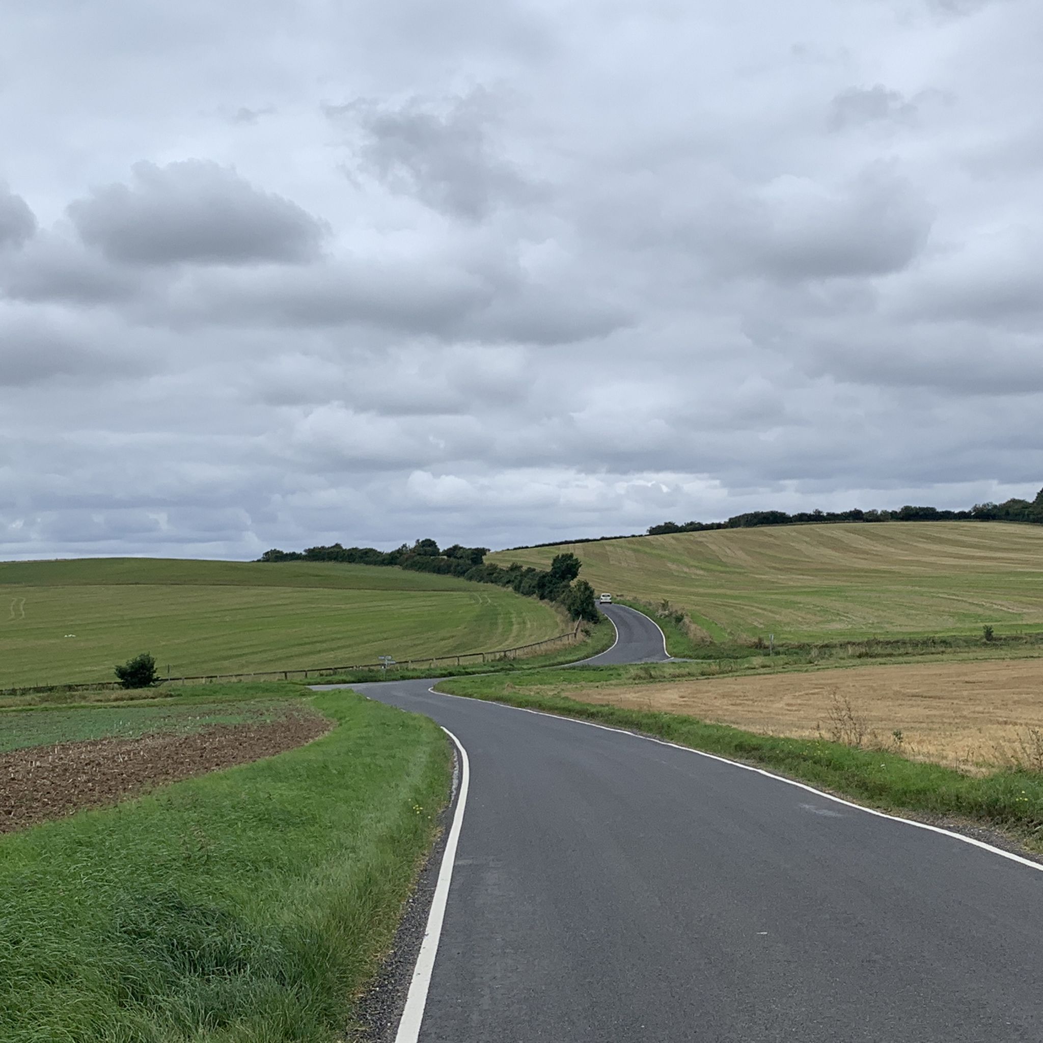
Near the crest of the Gog Magog Hills just south of Cambridge. Fast traffic on the short dual carriageway section past Wandlebury but there is a shared cycle path if you prefer.
0
0
Standard village church. Not easily accessible in road cleats.
0
0
Independent cafe, sister to the original one in Newmarket (www.komoot.com/highlight/3294821)
0
0

The best sausage roles and cakes, great coffee, Caters for vegans and vegetarians, indoor or out door seating
0
0

Links the main road to some of the bridleways and footpaths
0
0
Frequently Asked Questions
How many running routes are available around Babraham?
There are nearly 700 running routes around Babraham, offering a wide variety of options for all fitness levels. This includes 72 easy routes, 485 moderate routes, and 112 difficult routes, ensuring there's something for every runner.
Are there any easy jogging paths suitable for beginners in Babraham?
Yes, Babraham offers 72 easy jogging paths perfect for beginners or those looking for a relaxed run. These routes typically feature mild elevation changes and pleasant, accessible terrain through the countryside.
What are the options for long-distance running trails near Babraham?
For those seeking a challenge, Babraham has 112 difficult routes, many of which are longer distance trails. A notable option is the Wandlebury Country Park – The Old Butchers Coffee Shop loop from Beechwoods, which spans 17.6 miles (28.3 km) and features varied terrain.
Are there circular running routes available in the Babraham area?
Yes, many of the running routes around Babraham are circular, allowing you to start and finish at the same point. Examples include the popular Cambridge Road, Sawston – Whittlesford Church loop from Sawston War Memorial and the Little Trees Hill – Jubilee Wood Long Plantation loop from Cherry Hinton.
What kind of scenery can I expect on the jogging routes around Babraham?
The jogging routes around Babraham showcase the gently rolling countryside of Cambridgeshire. You'll experience a mix of open agricultural fields, quiet country lanes, and occasional wooded sections, providing a peaceful and varied running environment.
Are there any family-friendly jogging trails in Babraham?
Many of the easy and moderate routes are suitable for families, especially those with mild elevation and well-maintained paths. Look for routes that stick to quiet lanes or designated trails away from heavy traffic for a safer family experience.
What do other runners say about the jogging experience in Babraham?
The running routes in Babraham are highly rated by the komoot community, with an average score of 4.4 stars from nearly 200 reviews. Over 23,000 runners have explored the area, often praising the peaceful countryside and varied terrain.
Are there any interesting landmarks or attractions to see along the running routes?
While the routes primarily focus on natural landscapes, you might encounter historical elements or points of interest. Nearby attractions include the King's College Chapel and the Mathematical Bridge, Queens' College, both accessible from some longer routes or as separate explorations.
Can I find jogging routes that include a pub stop in Babraham or nearby villages?
While specific routes aren't designed solely around pub stops, many trails pass through or near small villages like Sawston, Whittlesford, or Little Abington, where you can often find local pubs for refreshments. Planning your route to incorporate these villages is a good approach.
What are the typical distances of jogging routes in Babraham?
The routes vary significantly in length. You can find shorter runs like the Sawston–Shelford Singletrack loop from Sawston War Memorial at 3.3 miles (5.3 km), up to much longer trails such as the 17.6 miles (28.3 km) Wandlebury Country Park – The Old Butchers Coffee Shop loop from Beechwoods.
Is Babraham suitable for winter running or during rainy weather?
The terrain around Babraham, with its open fields and country lanes, can be exposed to the elements. During winter or rainy weather, some unpaved sections might become muddy. It's advisable to wear appropriate trail shoes and check local conditions before heading out.
Where can I park when accessing jogging routes near Babraham?
Parking availability varies by starting point. Many routes begin from villages like Sawston or Cherry Hinton, where public parking might be available. For routes starting near Wandlebury Country Park, dedicated parking facilities are usually provided.
Most popular attractions around Babraham

Get inspired with the komoot mobile app


Explore more
Browse the best Running Trails & Routes in other regions.
