The best road cycling routes around Mühlbach am Hochkönig
4.5
(197)
5,770
riders
57
rides
Road cycling routes around Mühlbach am Hochkönig traverse an alpine landscape at the foot of the Hochkönig massif in Austria's Salzburg region. The area features dramatic rock formations of the Mandlwände and expansive alpine meadows. Terrain varies from lush valleys to rugged mountain peaks, offering diverse cycling conditions. The region is characterized by significant elevation changes, providing challenging ascents and rewarding descents for road cyclists.
Best road cycling routes around Mühlbach am Hochkönig
- The most popular road cycling route is Salzach Gorge – Lammer Riverside Road loop from St. Johann im Pongau, a 62.8 miles (101.1 km) trail that takes 4 hours 41 minutes to complete, featuring riverside roads and gorge views.
- Another top favourite among local road cyclists is Forstau descent – Ramsau am Dachstein loop from St. Johann im Pongau, a difficult 64.7 miles (104.1 km) path. This route includes a notable descent and alpine scenery around Ramsau am Dachstein.
- Local road cyclists also love the Pongau Cathedral – Lueg Pass loop from St. Johann im Pongau, a 37.8 miles (60.8 km) trail leading through the Lueg Pass, often completed in about 2 hours 43 minutes.
- Road cycling around Mühlbach am Hochkönig is defined by alpine meadows, dramatic rock formations, and mountain passes. The network offers options for different ability levels, from moderate climbs to difficult, sustained ascents.
- The routes in Mühlbach am Hochkönig are highly rated by the komoot community with an average score of 4.5 stars from over 190 reviews. More than 5,600 road cyclists have used komoot to explore Mühlbach am Hochkönig's varied terrain.
Last updated: May 29, 2026
4.7
(20)
579
riders
101km
04:41
1,150m
1,150m
Hard road ride. Very good fitness required. Some segments of this route may be unpaved and difficult to ride.
5.0
(4)
301
riders
105km
05:07
1,550m
1,550m
Hard road ride. Very good fitness required. Mostly well-paved surfaces and easy to ride.

Sign up for free
5.0
(1)
164
riders
60.8km
02:43
590m
590m
Moderate road ride. Good fitness required. Mostly well-paved surfaces and easy to ride.
4.7
(6)
101
riders
Hard road ride. Very good fitness required. Some segments of this route may be unpaved and difficult to ride.
4.8
(5)
91
riders
80.3km
04:15
1,350m
1,350m
Hard road ride. Very good fitness required. Some segments of this route may be unpaved and difficult to ride.
Get access to more routes and recommendations from other explorers.
Sign up for free
Already have an account?
Our route recommendations are based on thousands of hikes, rides, and runs completed by other people on komoot.
Start today with a free account
Your next adventure awaits.
Login or Signup
Popular around Mühlbach am Hochkönig
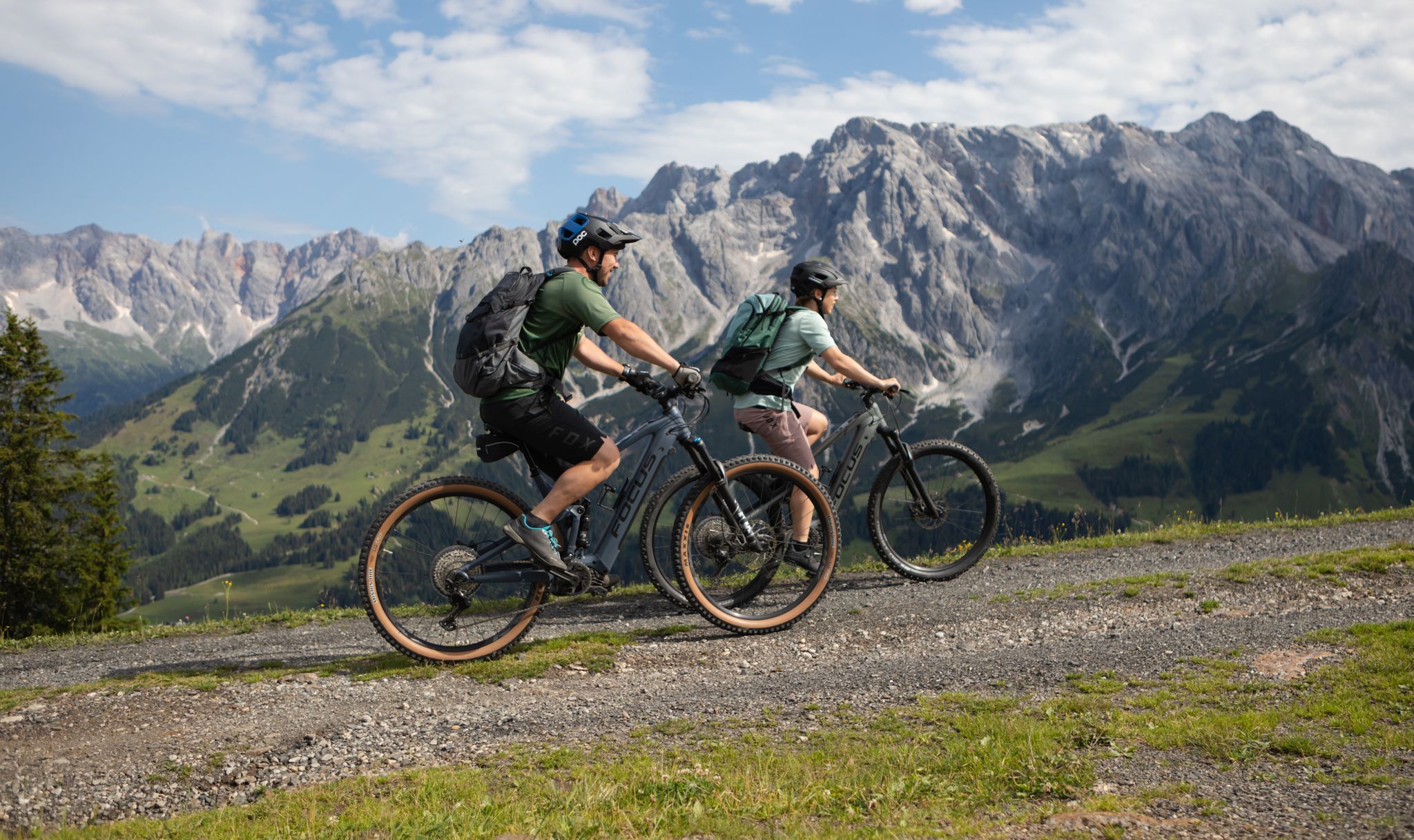
Peak happiness in the Hochkönig E-Bike paradise
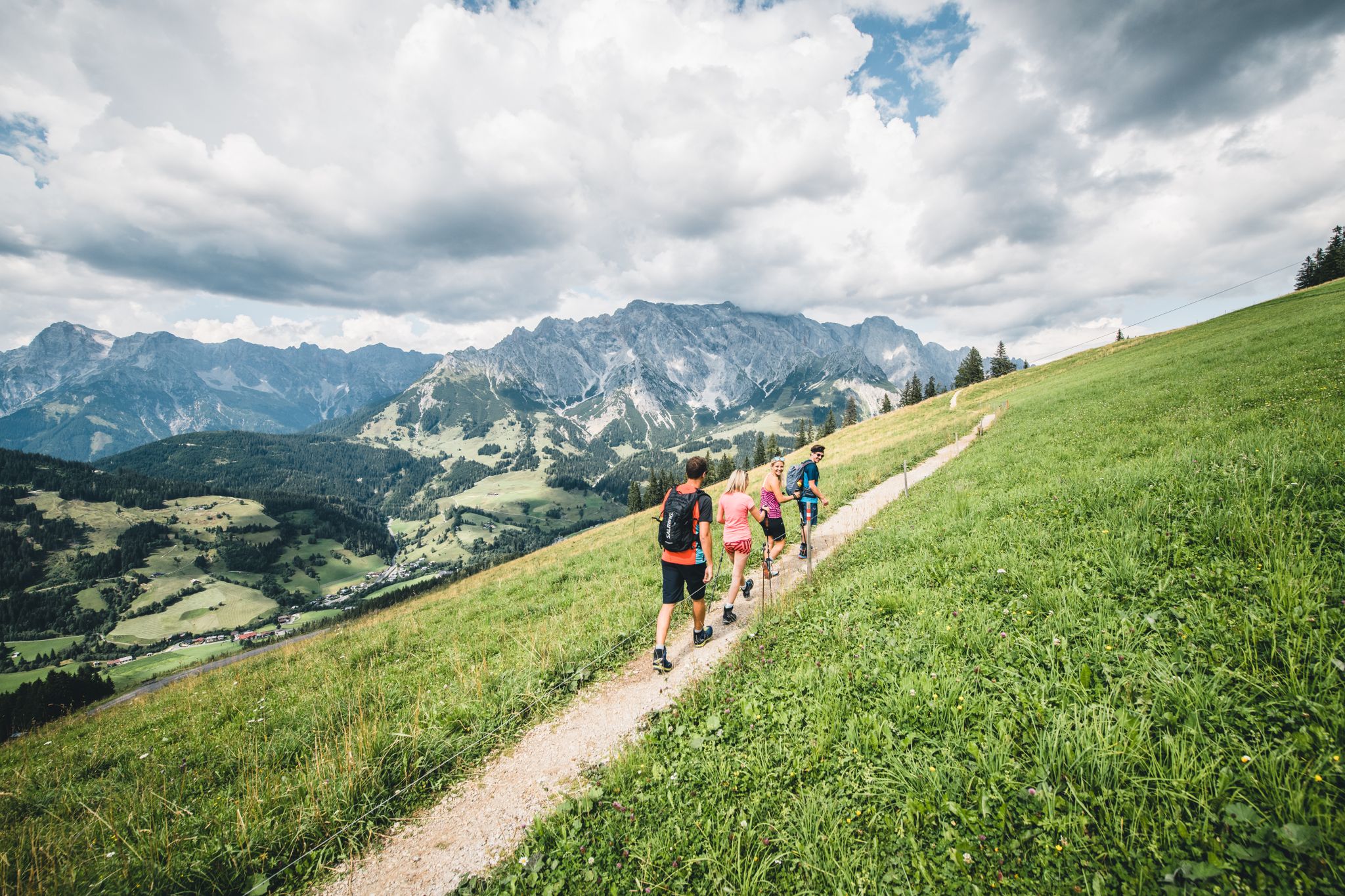
Glorious autumn hiking around the Hochkönig
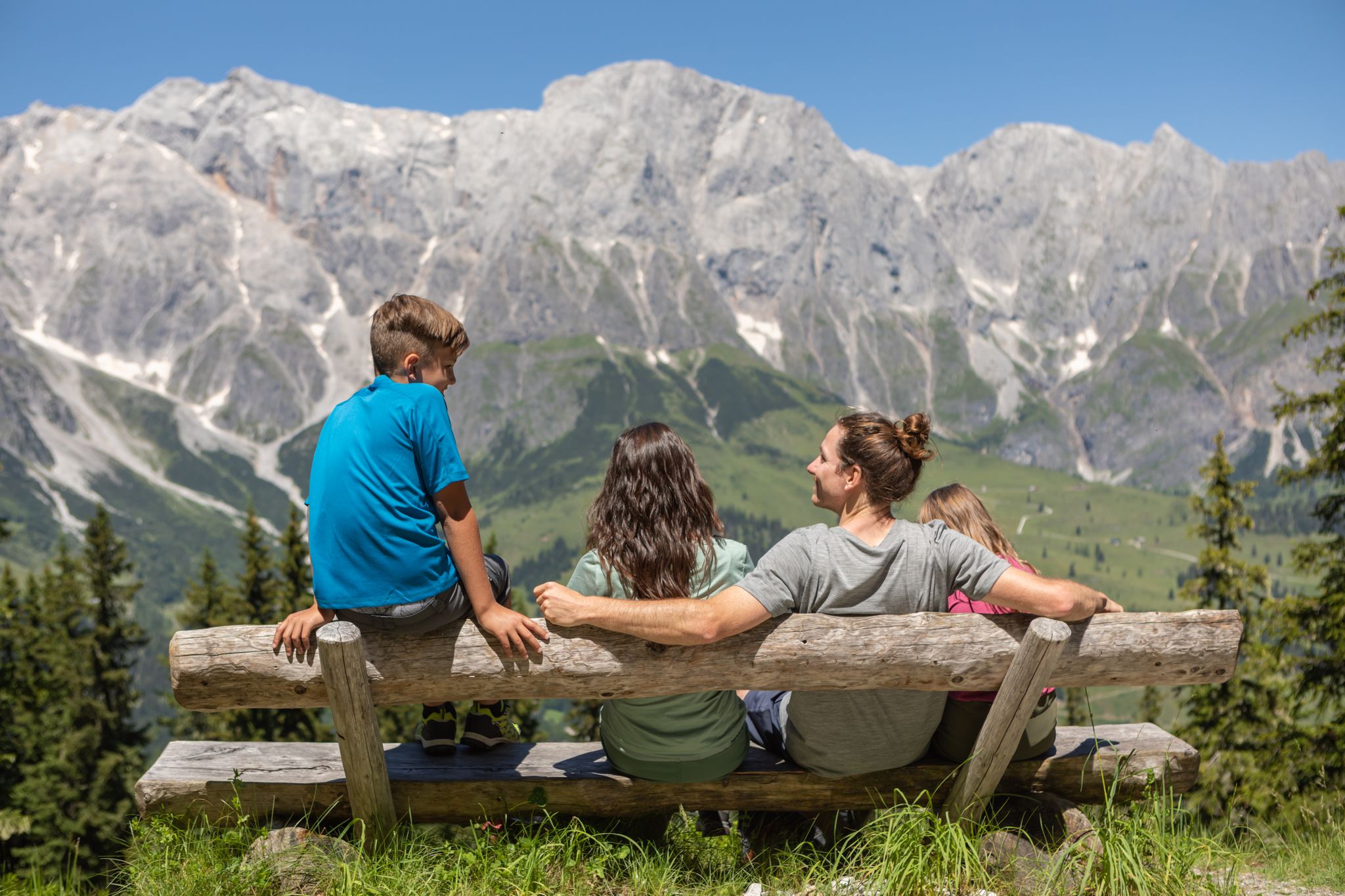
Games, fun and nature – family hikes at Hochkönig
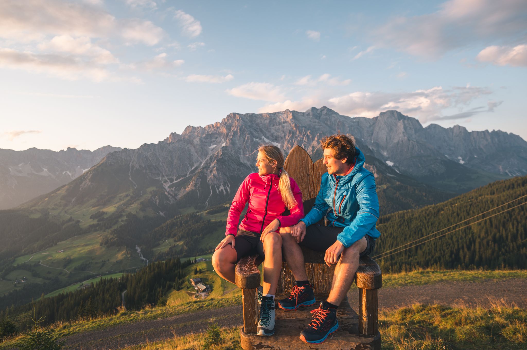
The great awakening – spring hikes on the Hochkönig
The most beautiful tours in Salzburger Land
Salzburg’s most beautiful sides – 25 stages on the Salzburger Almenweg
Bike, enjoy the view, repeat – 12 Tours on Austria’s Hochkönig
Golden autumn adventures in Austria's hiking villages
Family-friendly hikes in Austria’s Pinzgau
11 beautiful walks around St. Johann in Salzburg in Austria
Other adventures around Mühlbach am Hochkönig


Tips from the Community

Beautiful view of Schwarzach and the peaks of the Bertechsgaden Alps
0
0

Shortly before the Gasteiner Ache flows into the Salzach, it flows through a deep gorge at its northern end and then plunges over an impressive terrace toward the valley floor. The actual gorge road is no longer passable due to rockfall; a cycle track leads through the gorge tunnel into the Gasteiner Valley.
0
0
View of the Hochkönig from the Tauern Cycle Path, which runs above the valley floor along the mountainside between Schwarzach i. P. and Lend; a very quiet road with smooth asphalt through typical scattered and farm settlements.
0
0
Maria Brunneck branch church at the Lueg Pass in the municipality of Golling an der Salzach; pilgrimage church dedicated to the Holy Family; first mentioned in 1715; the current church building dates from 1764/1766.
0
0

Beautiful new flower boxes
0
0

View of Hohen Werfen Castle from Parrwerfen.
0
0

Hohenwerfen Castle is a highlight on the route to Werfen.
0
0
At the top of the pass there is cold spring water, a good opportunity to fill up your water bottle.
0
0
Frequently Asked Questions
How many road cycling routes are available around Mühlbach am Hochkönig?
There are over 50 road cycling routes around Mühlbach am Hochkönig, offering a wide range of options for different skill levels. The komoot community has explored 57 routes in total.
What is the best time of year for road cycling in Mühlbach am Hochkönig?
The region is particularly popular for road cycling in May and September. These months often provide ideal weather conditions for tackling the varied terrain and enjoying the impressive alpine backdrop.
What kind of terrain and elevation can I expect on road cycling routes in Mühlbach am Hochkönig?
Road cycling routes in Mühlbach am Hochkönig feature a varied alpine landscape, from lush valleys and expansive alpine meadows to rugged mountain peaks and dramatic rock formations like the Mandlwände. You can expect significant elevation changes, with routes offering both moderate climbs and long, sometimes steep, ascents, providing challenging and rewarding descents.
Are there challenging routes for experienced road cyclists?
Yes, Mühlbach am Hochkönig offers numerous challenging routes. Out of the 57 available routes, 17 are classified as difficult. An example is the Forstau descent – Ramsau am Dachstein loop from St. Johann im Pongau, which covers 104.1 km with over 1,500 meters of elevation gain.
Are there any easier or moderate road cycling options for beginners or families?
Yes, the region provides options for various ability levels. There are 5 easy and 35 moderate routes available. A moderate option is the Pongau Cathedral – Lueg Pass loop from St. Johann im Pongau, a 60.8 km trail with just under 600 meters of elevation gain, often completed in about 2 hours 43 minutes.
What natural features or landmarks can I see along the road cycling routes?
The routes offer stunning views of the Hochkönig massif and the bizarre rock formations of the Mandlwände. You might encounter natural wonders like the Liechtensteinklamm Gorge with its impressive waterfalls, or enjoy tranquil settings at Prinzensee with views over the Steinernes Meer. Some routes also pass by the Riedinger Waterfalls.
Are there routes with impressive viewpoints?
Absolutely. Many routes offer spectacular vistas. For instance, you can find viewpoints providing panoramic views of the Hochkönig massif, such as the View of the Hochkönig Massif highlight. The region's alpine setting ensures numerous scenic overlooks throughout your ride.
Can I find routes that pass by waterfalls?
Yes, the region is home to several beautiful waterfalls. The Liechtensteinklamm Gorge is a must-see with its thundering waterfalls. Other notable waterfalls include the Riedinger Waterfalls, Triefen Waterfall, and Gainfeld Waterfall, some of which may be accessible or visible from road cycling routes.
What do other road cyclists enjoy the most about road cycling in Mühlbach am Hochkönig?
The area is highly rated by the komoot community, with an average score of 4.5 stars from over 190 reviews. Cyclists frequently praise the impressive backdrop of the Hochkönig massif, the varied terrain, and the rewarding ascents and descents that make for unforgettable tours.
Are there any long-distance road cycling loops available?
Yes, there are several long-distance loop routes. For example, the Salzach Gorge – Lammer Riverside Road loop from St. Johann im Pongau is a popular 101.1 km trail that takes approximately 4 hours 41 minutes to complete, featuring riverside roads and gorge views.
Where can I find parking for road cycling routes in Mühlbach am Hochkönig?
While specific parking locations are not detailed for every route, Mühlbach am Hochkönig is a well-known outdoor destination. Cyclists typically find parking in or near the main village centers or designated trailheads, especially for routes starting from towns like St. Johann im Pongau or Dienten am Hochkönig.
Are there any road cycling routes that offer views of the Steinernes Meer?
Yes, the region's alpine landscape includes the Steinernes Meer (Stone Sea), a high-alpine karst plateau. From certain vantage points, such as Prinzensee, you can enjoy scenic views over this unique natural feature, which may be incorporated into or visible from various road cycling routes.
Can I combine road cycling with other outdoor activities in the area?
Absolutely. Mühlbach am Hochkönig is a true natural paradise offering a wealth of outdoor activities. Beyond cycling, you can explore hiking trails, visit the Liechtensteinklamm Gorge, or even visit the Mining Museum Mühlbach to learn about the region's history. The area also features family-friendly attractions like Toni's Almspielplatz.
Most popular routes around Mühlbach am Hochkönig
Most popular attractions around Mühlbach am Hochkönig

Get inspired with the komoot mobile app


Explore more
Browse the best Road cycling routes in other regions.
