Tushingham Cum Grindley
Tushingham Cum Grindley
The best running trails around Tushingham Cum Grindley
4.5
(5)
1,142
runners
111
runs
Jogging routes around Tushingham Cum Grindley traverse the gently rolling countryside of Cheshire, England. The region is characterized by verdant pastures, woodlands, and a network of public footpaths, offering diverse landscapes for running. Notable features include the Llangollen Canal with its picturesque towpaths, tranquil meres, and quiet country lanes. This varied terrain provides options suitable for different fitness levels.
Best jogging routes around Tushingham Cum Grindley
- The most popular jogging route is Blake Mere loop from Whitchurch, a 7.9…
Last updated: May 14, 2026
26
runners
6.23km
00:39
40m
40m
Moderate run. Good fitness required. Mostly paved surfaces. Suitable for all skill levels.
25
runners
Moderate run. Good fitness required. Mostly paved surfaces. Suitable for all skill levels.

Sign up for free
13
runners
10.3km
01:05
120m
120m
Moderate run. Good fitness required. Mostly paved surfaces. Suitable for all skill levels.
16
runners
7.39km
00:46
40m
40m
Moderate run. Good fitness required. Mostly paved surfaces. Suitable for all skill levels.
14
runners
7.15km
00:45
50m
50m
Moderate run. Good fitness required. Mostly paved surfaces. Suitable for all skill levels.
Get access to more routes and recommendations from other explorers.
Sign up for free
Already have an account?
Our route recommendations are based on thousands of hikes, rides, and runs completed by other people on komoot.
Start today with a free account
Your next adventure awaits.
Login or Signup
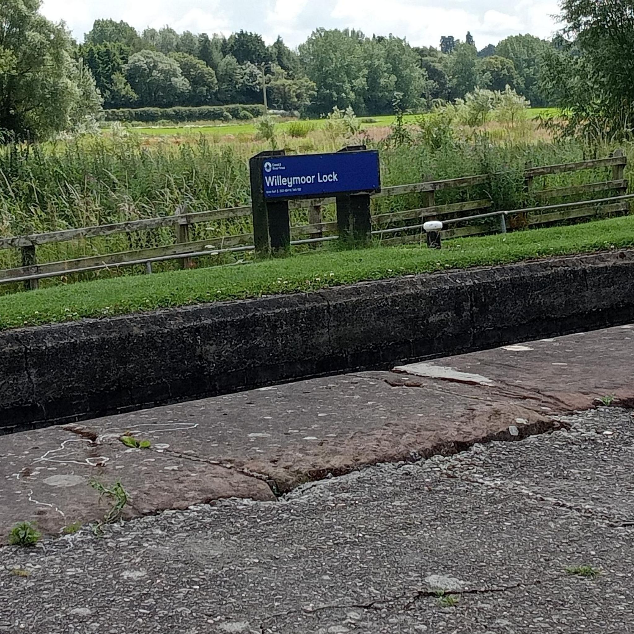
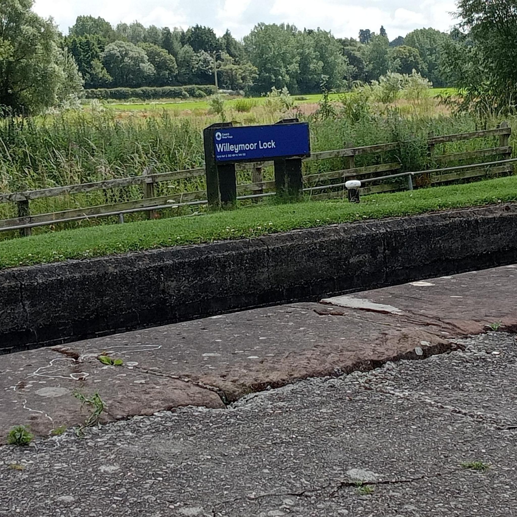
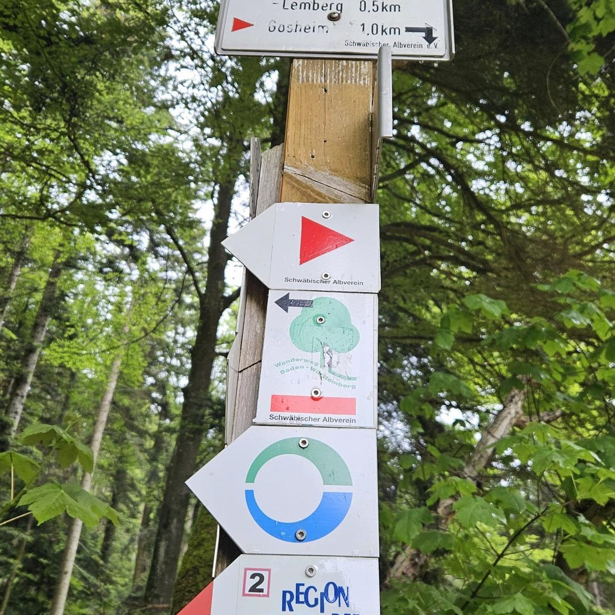
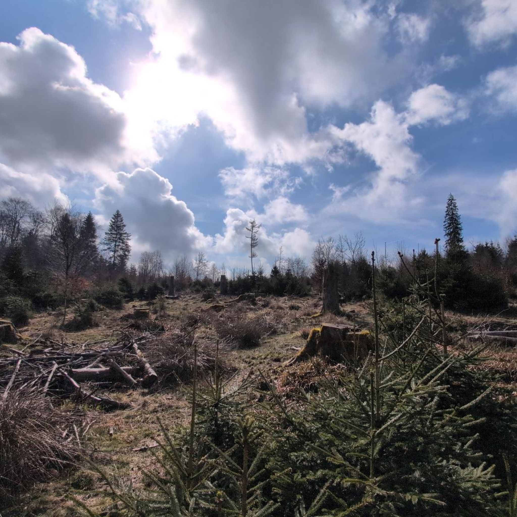
Tips from the Community

This bridge is probably out of service for the time being, due to a nearby breach in the canal.
0
0

Handy loo stop in cemetery car park. Always clean and tidy.
0
0

Focal point of the nice town of Whitchurch. The town takes its name from the white stone originally used to make the church, way back in around the 10th Century AD. A very impressive building and well worth checking out if you have time to stop.
0
0
The road up from Whitchurch is fine. The road down is very narrow. Make sure you can stop quickly if you meet a car coming up the hill. The section between the farm and the T junction is very potholed with lots of loose gravel.
0
0

View is indeed nice, place to stop and chill on benches or grass in warm days.
0
0
Beautifully located peaceful church, could be attended
0
0
View is indeed nice, additionally good place to chill on grass or bench ;)
0
0
Farmers talked about flying lights moving in darkness, soundless… morning exposed truth! Everybody shocked including local cows and squirrels. 🤨
0
0
Frequently Asked Questions
How many running routes are available around Tushingham Cum Grindley?
Tushingham Cum Grindley offers a wide selection of running routes, with over 110 trails to explore. These range from easy to difficult, catering to various fitness levels.
What do other runners say about the trails in Tushingham Cum Grindley?
The running routes in Tushingham Cum Grindley are highly regarded by the komoot community, boasting an average rating of 4.7 stars from 4 reviews. Over 1200 runners have used komoot to discover the varied terrain, often praising the picturesque canal towpaths, tranquil meres, and quiet country lanes.
What kind of terrain can I expect on jogging routes in Tushingham Cum Grindley?
The region features diverse landscapes, including verdant pastures, woodlands, and a network of public footpaths. You'll find well-maintained canal towpaths along the Llangollen Canal, tranquil meres like Big Mere Lake, and numerous quiet country lanes. The terrain is generally gently rolling with minimal elevation changes, making it suitable for a range of abilities.
Are there any easy or beginner-friendly running trails in the area?
Yes, Tushingham Cum Grindley has several easy running routes. The Llangollen Canal towpaths, for instance, offer flat and accessible surfaces. While specific easy routes aren't detailed here, you can find 10 easy routes among the over 110 available trails, perfect for beginners or a relaxed run.
Can I find circular jogging routes around Tushingham Cum Grindley?
Many of the running routes in Tushingham Cum Grindley are circular, allowing you to start and finish in the same location. For example, the Blake Mere loop from Whitchurch is a popular 7.9-mile (12.7 km) circular trail offering views of the mere and surrounding fields.
Are there any running routes that pass by interesting natural features or landmarks?
Absolutely! Many routes incorporate the region's natural beauty. You can find trails that circle Big Mere Lake or pass by Hanmer Mere. The Llangollen Canal towpaths also offer views of traditional narrowboats and the picturesque Wrenbury Lift Bridge. For a longer run through unique ecosystems, consider routes near the Fenns Whixall, Bettisfield Mosses & Brown Moss Nature Reserves.
Are the running trails in Tushingham Cum Grindley suitable for families?
Yes, the area offers routes suitable for families, especially those with flatter terrain like the Llangollen Canal towpaths. The gently rolling countryside and network of public footpaths provide varied options. Look for shorter, easier routes for a family-friendly running experience.
Are dogs allowed on the running trails around Tushingham Cum Grindley?
Many public footpaths and country lanes in Tushingham Cum Grindley are dog-friendly. However, it's always advisable to keep dogs on a lead, especially when passing through farmland with livestock or nature reserves to protect wildlife. Always check local signage for specific restrictions.
What are the typical lengths and durations of running routes in this region?
Running routes in Tushingham Cum Grindley vary significantly in length and duration. You can find shorter runs, but many popular trails are moderate to difficult. For instance, the Running loop from Marbury is 6.3 miles (10.2 km), taking about 1 hour 20 minutes, while the Dodington Town Hall – Whitchurch High Street loop from Whitchurch is 10.7 miles (17.2 km), typically completed in about 1 hour 47 minutes.
Are there any running routes that offer views or viewpoints?
Yes, the region's gently rolling landscape provides several scenic spots. Routes around meres like Big Mere Lake offer open views. While not directly on a running route, the View from Bickerton Hill is a notable viewpoint in the wider area that could be incorporated into a longer exploration.
Is parking available near the running trails in Tushingham Cum Grindley?
Given the rural nature of Tushingham Cum Grindley, parking is generally available in villages like Whitchurch or Marbury, which serve as common starting points for many routes. Many country lanes also offer roadside parking, but always ensure you park responsibly and do not obstruct access.
Are there any routes that include a pub stop or pass by amenities?
While specific routes with pub stops aren't detailed, the network of quiet country lanes and proximity to villages means it's often possible to plan a route that passes by local pubs or cafes. The Victoria Jubilee Park near Grindley Brook Locks also offers a pleasant spot for a break after a run.
Most popular attractions around Tushingham Cum Grindley

Get inspired with the komoot mobile app


Explore more
Browse the best Running Trails & Routes in other regions.
